Buckleap Copse

Wood, Forest in Oxfordshire West Oxfordshire

England

Buckleap Copse

Cornbury Park Charlbury
Cornbury Park Charlbury Credit: Roy Hughes

Buckleap Copse is a picturesque wood located in the county of Oxfordshire, England. Spanning an area of approximately 50 acres, it is situated near the village of Buckleap, which is renowned for its natural beauty and charming countryside.

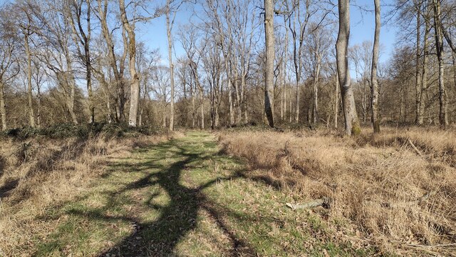
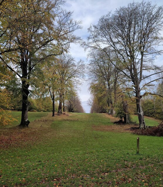
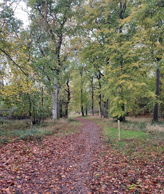
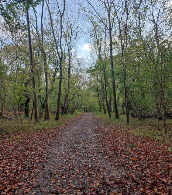
This ancient woodland comprises a mixture of deciduous and coniferous trees, creating a diverse and vibrant ecosystem. The towering oaks, beeches, and birches provide a dense canopy, offering shelter and habitat for a variety of wildlife. The forest floor is adorned with a rich carpet of ferns, bluebells, and other wildflowers, creating a stunning display during the spring months.

Buckleap Copse is intersected by several footpaths, making it an ideal destination for nature enthusiasts and walkers alike. These well-maintained trails wind through the woods, providing opportunities for visitors to immerse themselves in the serene surroundings and enjoy the tranquil ambiance.

The copse is home to an array of wildlife, including deer, foxes, badgers, and numerous bird species. Birdwatchers can spot woodpeckers, owls, and even the occasional rare bird. The rustling leaves and chirping birdsong create a symphony of natural sounds, enhancing the overall experience for visitors.

The conservation efforts in Buckleap Copse are commendable, with local authorities and environmental organizations implementing measures to protect and preserve this valuable woodland. These efforts include sustainable forestry practices, maintaining the biodiversity of the area, and ensuring public access while minimizing the impact on the delicate ecosystem.

In conclusion, Buckleap Copse is a charming woodland in Oxfordshire, offering a peaceful retreat for nature lovers. Its diverse flora and fauna, well-maintained footpaths, and commitment to conservation make it an enchanting destination for anyone seeking solace in the beauty of nature.

If you have any feedback on the listing, please let us know in the comments section below.

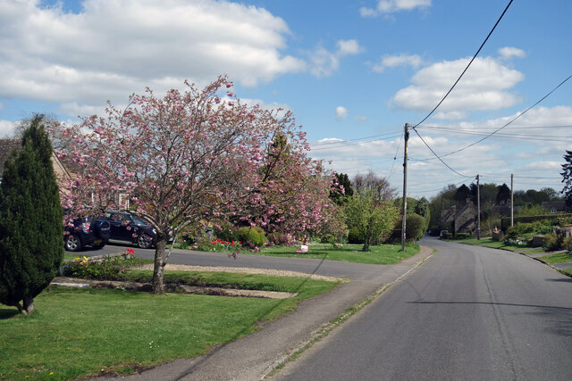
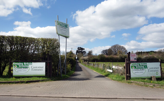
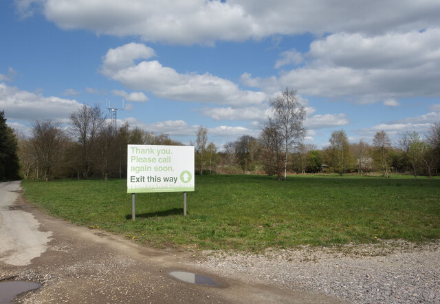
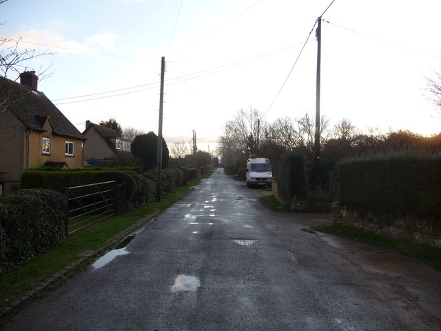
Buckleap Copse Images

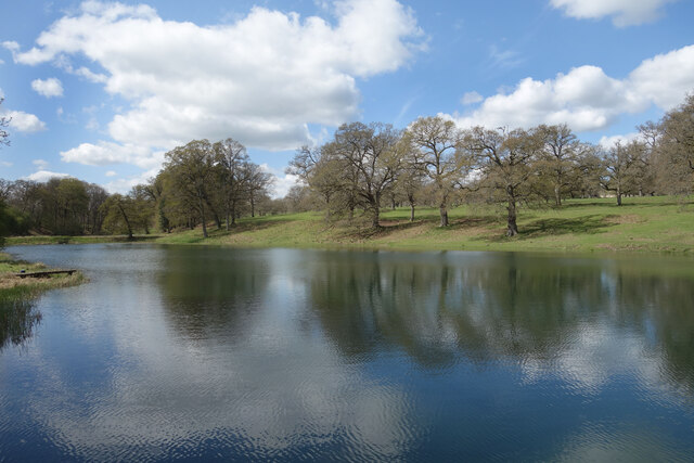
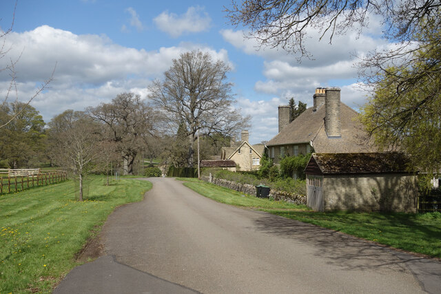
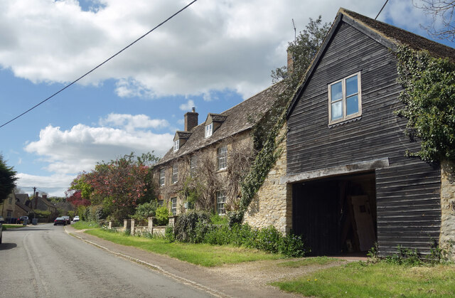
Images are sourced within 2km of 51.854371/-1.5041267 or Grid Reference SP3417. Thanks to Geograph Open Source API. All images are credited.

Cornbury Park Charlbury
Park Farm Footpath near Finstock.
Park Farm
Footpath near Finstock.
Holy Trinity Church, Finstock
Wychwood Forest Track into Wychwood Forest
Wychwood Forest
Track into Wychwood Forest
Tower Light, Wychwood Forest This ride in Wychwood Forest is called Tower Light.
Tower Light, Wychwood Forest
This ride in Wychwood Forest is called Tower Light.
Footpath through Wychwood Forest
Lake in Cornbury Park A line of ornamental lakes has been created in the park along the course of a short tributary of the Evenlode, originating from springs in the park and the adjoining Wychwood Forest.
Lake in Cornbury Park
A line of ornamental lakes has been created in the park along the course of a short tributary of the Evenlode, originating from springs in the park and the adjoining Wychwood Forest.
Southill Park Drive A private road in Cornbury Park which is also a public footpath and cycleway. There is a small cluster of buildings here around Park Farm.
Southill Park Drive
A private road in Cornbury Park which is also a public footpath and cycleway. There is a small cluster of buildings here around Park Farm.
The end of the Lake Southill Park Drive crosses the impoundment at the lower end of the line of ornamental lakes in Cornbury Park.
The end of the Lake
Southill Park Drive crosses the impoundment at the lower end of the line of ornamental lakes in Cornbury Park.
Finstock High Street Finstock High Street is a residential village street.
Finstock High Street
Finstock High Street is a residential village street.
High Street, Mount Skippett A continuation of Finstock High Street. 
Mount Skippett is a settlement of mainly 20th century housing between the old villages of Ramsden and Finstock.
As for being a Mount, at around 170 metres aod it is just that bit higher than the surrounding area, but not much.
High Street, Mount Skippett
A continuation of Finstock High Street. Mount Skippett is a settlement of mainly 20th century housing between the old villages of Ramsden and Finstock. As for being a Mount, at around 170 metres aod it is just that bit higher than the surrounding area, but not much.
Way into the Garden Centre The entrance to Charlbury Garden Centre. 
In a bit of a rural coffee desert there's a nice cafe here with capuccino and cake.
They also do plants and compost and stuff.
Recommended.
Way into the Garden Centre
The entrance to Charlbury Garden Centre. In a bit of a rural coffee desert there's a nice cafe here with capuccino and cake. They also do plants and compost and stuff. Recommended.
Way out of the Garden Centre There's a one way system around Charlbury Garden Centre, probably because the entrance road is so narrow.
It's a lot longer to get out than to get in.
Way out of the Garden Centre
There's a one way system around Charlbury Garden Centre, probably because the entrance road is so narrow. It's a lot longer to get out than to get in.
Mount Skippet, Finstock A quiet residential lane at the top end of the village.
Mount Skippet, Finstock
A quiet residential lane at the top end of the village.
Part of the car park and entrance at Hilltop Garden Centre Early morning on a December day and the car park is already filling up with pre-Christmas visitors and customers.
Part of the car park and entrance at Hilltop Garden Centre
Early morning on a December day and the car park is already filling up with pre-Christmas visitors and customers.
Part of the High Street, Finstock This higher end of the High Street is fully given over to more modern homes.
Part of the High Street, Finstock
This higher end of the High Street is fully given over to more modern homes.
Re-thatching a cottage in Finstock High Street It's always nice to see thatch and even better to see some thatching in progress. Lovely old cottages these.
Re-thatching a cottage in Finstock High Street
It's always nice to see thatch and even better to see some thatching in progress. Lovely old cottages these.
Show me another place!

Buckleap Copse is located at Grid Ref: SP3417 (Lat: 51.854371, Lng: -1.5041267)

Administrative County: Oxfordshire

District: West Oxfordshire

Police Authority: Thames Valley

What 3 Words

///newer.seriously.dispensed. Near Charlbury, Oxfordshire

Related Wikis

Wychwood

Wychwood or Wychwood Forest is a 501.7-hectare (1,240-acre) biological Site of Special Scientific Interest north of Witney in Oxfordshire. It is also a...

Cornbury Park

Cornbury Park is an estate near Charlbury, Oxfordshire. It comprises about 5000 acres, mostly farmland and woods, including a remnant of the Wychwood Forest...

Finstock

Finstock is a village and civil parish about 2 miles (3 km) south of Charlbury in Oxfordshire, England. The parish is bounded to the northeast by the...

Charlbury railway station

Charlbury railway station is a railway station serving the town of Charlbury in Oxfordshire, England. This station and all trains serving it are operated...

Finstock railway station

Finstock railway station serves the village of Finstock and the hamlet of Fawler in Oxfordshire, England. It is some distance from Finstock itself, being...

Charlbury

Charlbury () is a town and civil parish in the Evenlode valley, about 6 miles (10 km) north of Witney in the West Oxfordshire district of Oxfordshire,...

Charlbury Museum

Charlbury Museum is a local museum in the town of Charlbury, Oxfordshire, England. The museum and collections are organized and run by the Charlbury Society...

Fawler

Fawler is a hamlet and civil parish in the valley of the River Evenlode, 1.5 miles (2.4 km) southeast of Charlbury in Oxfordshire, England. There are...

Nearby Amenities

Located within 500m of 51.854371,-1.5041267
Seven Dials
Place: locality
Lat/Long: 51.855172/-1.5046176
Buckleap Copse
Place: locality
Lat/Long: 51.8536787/-1.5029537
Grand Vista
Place: locality
Lat/Long: 51.8545596/-1.5008635
Evenden Copse
Place: locality
Lat/Long: 51.8546432/-1.5111238
The data included in this document is from www.openstreetmap.org. The data is made available under ODbL.

Have you been to Buckleap Copse?

Leave your review of Buckleap Copse below (or comments, questions and feedback).