Crown Hill

Hill, Mountain in Warwickshire Warwick

England

Crown Hill

Nursery near Leamington Spa: aerial 2021 (1) Blackdown Growers.
Nursery near Leamington Spa: aerial 2021 (1) Credit: Chris

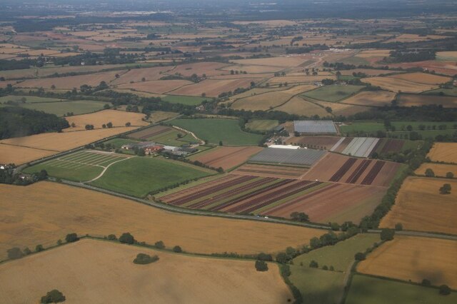
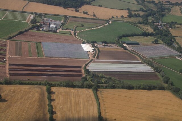
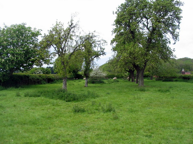
Crown Hill is a prominent hill located in the county of Warwickshire, England. Situated in the southern part of the county, it is part of the broader landscape of the Warwickshire countryside. Although referred to as a hill, Crown Hill is not particularly high, measuring approximately 200 meters in elevation. Nonetheless, its distinct topography and commanding presence make it a notable feature of the local landscape.

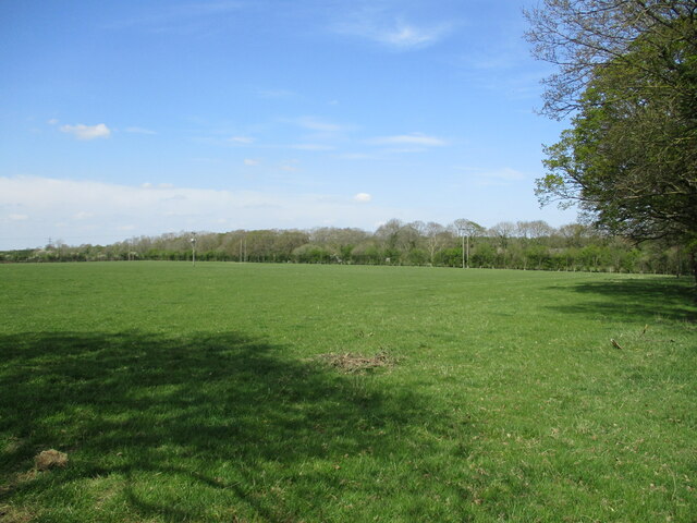
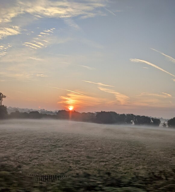
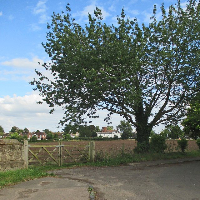
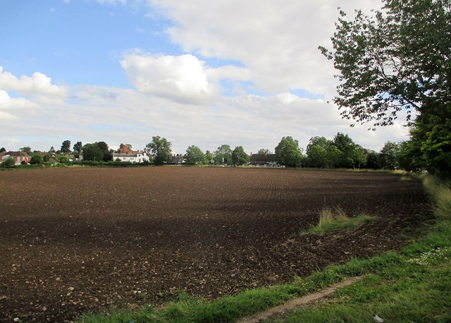
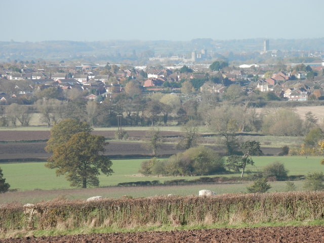
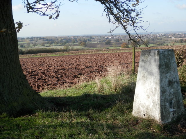
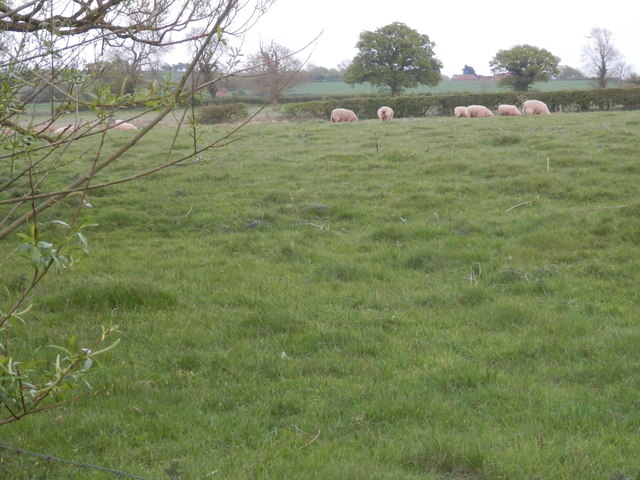
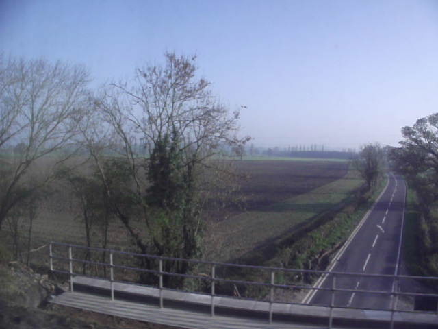
Covered in lush greenery and surrounded by rolling fields, Crown Hill offers stunning panoramic views of the surrounding countryside. On a clear day, visitors can enjoy vistas stretching as far as the eye can see, with the undulating Warwickshire fields extending into the distance. The hill's summit is easily accessible, either by foot or by car, and is a popular spot for outdoor enthusiasts, hikers, and nature lovers.

Crown Hill is also home to a diverse range of flora and fauna. The hill's slopes are covered in a variety of wildflowers, creating a vibrant and colorful landscape during the spring and summer months. The area is also known for its rich birdlife, with numerous species frequently spotted in the vicinity.

In addition to its natural beauty, Crown Hill holds historical significance. The surrounding area is dotted with ancient burial mounds and archaeological sites, suggesting human habitation in the region dating back thousands of years. These historical remnants contribute to the hill's allure, attracting both history buffs and those seeking a connection to the past.

Overall, Crown Hill in Warwickshire offers a picturesque and tranquil setting, ideal for those looking to escape the hustle and bustle of modern life and immerse themselves in the natural beauty and rich history of the region.

If you have any feedback on the listing, please let us know in the comments section below.
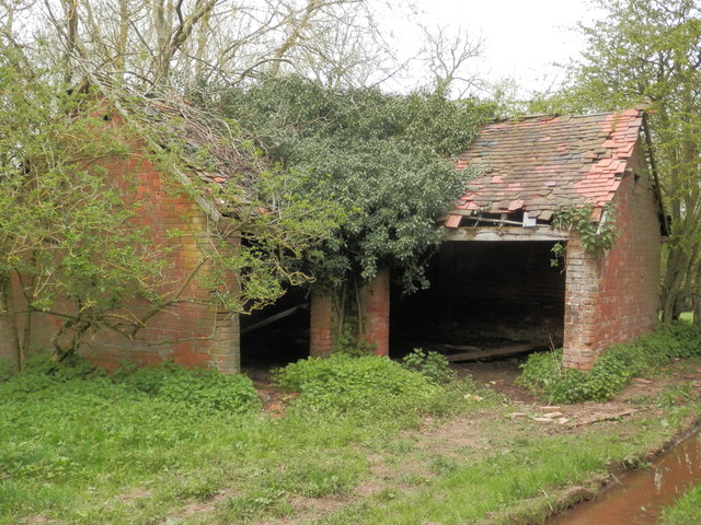
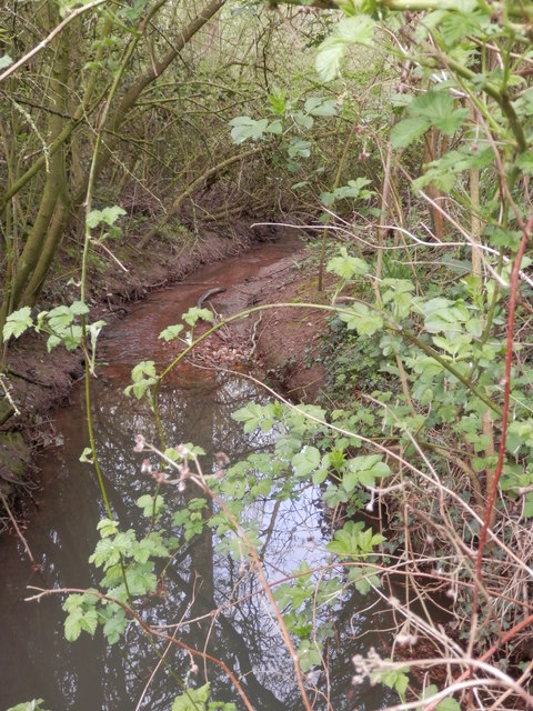
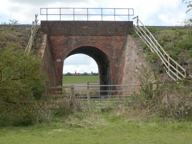
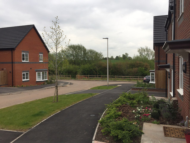
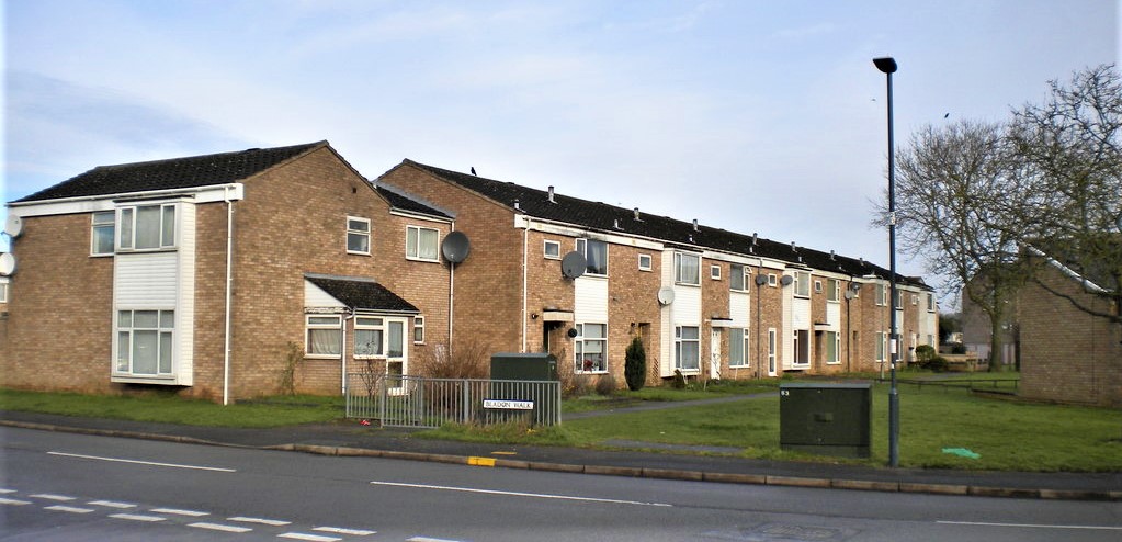
Crown Hill Images

Images are sourced within 2km of 52.261662/-1.4904267 or Grid Reference SP3462. Thanks to Geograph Open Source API. All images are credited.

Nursery near Leamington Spa: aerial 2021 (1) Blackdown Growers.
Nursery near Leamington Spa: aerial 2021 (1)
Blackdown Growers.
Nursery near Leamington Spa: aerial 2021 (2) Blackdown Growers.
Nursery near Leamington Spa: aerial 2021 (2)
Blackdown Growers.
Grass field off the Fosse Way
Minis by the Fosse Fosse Garage has specialised in Minis since 2011 and there is a fine line up of the cars for sale here right by the Fosse Way. The bridge carries the Leamington - Banbury railway.
Minis by the Fosse
Fosse Garage has specialised in Minis since 2011 and there is a fine line up of the cars for sale here right by the Fosse Way. The bridge carries the Leamington - Banbury railway.
Sunrise over mist covered field, Witnash
Radford Semele: Church End to Offchurch Lane A view from the lane outside the church towards the houses on Offchurch Lane.
Radford Semele: Church End to Offchurch Lane
A view from the lane outside the church towards the houses on Offchurch Lane.
Radford Semele: churchyard to pub An August-afternoon view over the churchyard wall, with The White Lion just to the right of centre on the far side of the field and houses on Offchurch Lane to the left of centre.
Radford Semele: churchyard to pub
An August-afternoon view over the churchyard wall, with The White Lion just to the right of centre on the far side of the field and houses on Offchurch Lane to the left of centre.
Whitnash from Crown Hill Warwick Castle and St.Mary's Church, Warwick in background.
Whitnash from Crown Hill
Warwick Castle and St.Mary's Church, Warwick in background.
Triangulation pillar on Crown Hill Whitnash in background
Triangulation pillar on Crown Hill
Whitnash in background
Derelict cow shed below Radford Barn Although just outside the Whitnash boundary, the Whitnash Neighbourhood Plan envisages the restoration of this building as a refuge for ramblers with access from Whitnash by a new footbridge over the nearby brook.
Derelict cow shed below Radford Barn
Although just outside the Whitnash boundary, the Whitnash Neighbourhood Plan envisages the restoration of this building as a refuge for ramblers with access from Whitnash by a new footbridge over the nearby brook.
A small feeder of the River Severn This tiny brook runs in to the larger Whitnash Brook just a few yards further on. The latter joins the River Leam in Leamington Spa, about 2 miles north of this point, and that river becomes a tributary of the River Avon between Leamington Spa and Warwick. Finally after flowing through Warwick, Stratford-upon-Avon and Evesham, the Avon joins the Severn at Tewkesbury.
A small feeder of the River Severn
This tiny brook runs in to the larger Whitnash Brook just a few yards further on. The latter joins the River Leam in Leamington Spa, about 2 miles north of this point, and that river becomes a tributary of the River Avon between Leamington Spa and Warwick. Finally after flowing through Warwick, Stratford-upon-Avon and Evesham, the Avon joins the Severn at Tewkesbury.
Beyond the pale The railway bridge shown is viewed from the north-east side of the ex-GWR London to Chester line and about three miles south-east of Leamington Spa. This line effectively marked the eastern boundary, or pale, of Great Western territory and since the photographer was to the east of the line, he is 'beyond the pale'.
The small white plaque to the left of the arch is inscribed 'DCL Bridge 123 103 miles 550 yds'. It means that the bridge is on the Didcot to Chester Line (a very old designation) and 103 miles 550 yards ( or 25 chains) from the GWR datum point at London, Paddington station.
Beyond the pale
The railway bridge shown is viewed from the north-east side of the ex-GWR London to Chester line and about three miles south-east of Leamington Spa. This line effectively marked the eastern boundary, or pale, of Great Western territory and since the photographer was to the east of the line, he is 'beyond the pale'. The small white plaque to the left of the arch is inscribed 'DCL Bridge 123 103 miles 550 yds'. It means that the bridge is on the Didcot to Chester Line (a very old designation) and 103 miles 550 yards ( or 25 chains) from the GWR datum point at London, Paddington station.
Old pasture alongside Whitnash Brook The buildings in the distance are those of Pounce Hill Farm. Isle of Wight Barn is framed by the tree to the left.
Old pasture alongside Whitnash Brook
The buildings in the distance are those of Pounce Hill Farm. Isle of Wight Barn is framed by the tree to the left.
Small field at the Fosse Sheep grazing in what appears to have once been an orchard at the Fosse Warwickshire Exhibition Centre.

In 2007: <a href="https://www.geograph.org.uk/photo/608094">SP3663 : Poser at The Fosse</a>
Small field at the Fosse
Sheep grazing in what appears to have once been an orchard at the Fosse Warwickshire Exhibition Centre. In 2007: SP3663 : Poser at The Fosse
The B4455, Fosse Way This was taken from the Moonraker charter train.  In the foreground is the parapet of the railway bridge.
The B4455, Fosse Way
This was taken from the Moonraker charter train. In the foreground is the parapet of the railway bridge.
New estate in Upper Sydenham, Whitnash Looking down Admiral Way towards the Whitnash Brook valley. All the roads on this estate are named after butterflies. The developer is A.C.Lloyd, a local firm. This was a greenfield site, part of Green Farm, Whitnash: see <a href="https://www.geograph.org.uk/photo/1212336">SP3363 : How long...?</a> from 2009, and <a href="https://www.geograph.org.uk/photo/2186965">SP3363 : Bridleway to Radford Semele</a> from 2010.
New estate in Upper Sydenham, Whitnash
Looking down Admiral Way towards the Whitnash Brook valley. All the roads on this estate are named after butterflies. The developer is A.C.Lloyd, a local firm. This was a greenfield site, part of Green Farm, Whitnash: see SP3363 : How long...? from 2009, and SP3363 : Bridleway to Radford Semele from 2010.
New estate will extend up to the bridleway, Upper Sydenham, Whitnash Ahead, the bridleway joins Church Lane, Whitnash. Behind the camera it heads for Radford Barn, or there is a footpath north beside the Whitnash Brook through the local nature reserve.
New estate will extend up to the bridleway, Upper Sydenham, Whitnash
Ahead, the bridleway joins Church Lane, Whitnash. Behind the camera it heads for Radford Barn, or there is a footpath north beside the Whitnash Brook through the local nature reserve.
The view from the eastern end of Admiral Way, Upper Sydenham, south Leamington An estate only half complete. From here and from Marbled Close there is a view over the Whitnash Brook local nature reserve and open country south of Radford Semele – for how long, one wonders.
The view from the eastern end of Admiral Way, Upper Sydenham, south Leamington
An estate only half complete. From here and from Marbled Close there is a view over the Whitnash Brook local nature reserve and open country south of Radford Semele – for how long, one wonders.
Show me another place!

Crown Hill is located at Grid Ref: SP3462 (Lat: 52.261662, Lng: -1.4904267)

Administrative County: Warwickshire

District: Warwick

Police Authority: Warwickshire

What 3 Words

///belts.waffle.selection. Near Royal Leamington Spa, Warwickshire

Nearby Locations

Frizmore Hill Crown Hill

Related Wikis

Radford Semele

Radford Semele is a village and civil parish in Warwickshire, England, situated close to the Regency spa town of Leamington Spa. According to the 2001...

Leamington F.C.

Leamington Football Club is a football club based in Leamington Spa, Warwickshire, England. They are currently members of the Southern League Premier Division...

Campion School, Leamington Spa

Campion School was formed in 1977 when it moved to the present site on Sydenham Drive in Leamington Spa, Warwickshire, England. In 2006, Campion was awarded...

Whitnash

Whitnash is a town and civil parish located southeast of, and contiguous with Leamington Spa and Warwick in Warwickshire, England. In 2001, it had a population...

Sydenham, Leamington Spa

Sydenham is an eastern suburb of the town of Leamington Spa, Warwickshire, England. Prior to the 1960s the area was rural, with only agricultural buildings...

Oakley School, Bishop's Tachbrook

Oakley School is a coeducational all-through school located in Bishop's Tachbrook (near Leamington Spa and Warwick) The school formally opened in September...

St Mary's Church, Leamington Spa

St. Mary's Church, Leamington Spa is a Grade II listed parish church in Leamington Spa, England. == History == St. Mary's Church was built between 1838...

St John the Baptist's Church, Leamington Spa

St John the Baptist's Church is an Anglo-Catholic parish church in Leamington Spa, England. The historic structure is Grade II* listed. == History == The...

Nearby Amenities

Located within 500m of 52.261662,-1.4904267
Man Made: survey_point
Lat/Long: 52.2616636/-1.4903841
Barrier: stile
Lat/Long: 52.2576992/-1.4889505
Pounce Hill Farm 1
Designation: 1495166
Man Made: tower
Note: cellphone tower
Source: Arqiva sitefinder
Lat/Long: 52.2610539/-1.4901072
Barrier: stile
Lat/Long: 52.2599646/-1.4965773
Barrier: stile
Lat/Long: 52.2600631/-1.4965773
Barrier: stile
Lat/Long: 52.2622903/-1.490988
Barrier: stile
Lat/Long: 52.260113/-1.4961412
Brand: National Grid
Brand Wikidata: Q1465461
Material: wood
Operator: National Grid Electricity Distribution
Operator Old: Western Power Distribution
Operator Wikidata: Q7988183
Owner: National Grid Electricity Distribution (East Midlands) Plc
Owner Wikidata: Q114348127
Power: pole
Lat/Long: 52.2576583/-1.4896573
Brand: National Grid
Brand Wikidata: Q1465461
Material: wood
Operator: National Grid Electricity Distribution
Operator Old: Western Power Distribution
Operator Wikidata: Q7988183
Owner: National Grid Electricity Distribution (East Midlands) Plc
Owner Wikidata: Q114348127
Power: pole
Lat/Long: 52.2581842/-1.4909378
Brand: National Grid
Brand Wikidata: Q1465461
Material: wood
Operator: National Grid Electricity Distribution
Operator Old: Western Power Distribution
Operator Wikidata: Q7988183
Owner: National Grid Electricity Distribution (East Midlands) Plc
Owner Wikidata: Q114348127
Power: pole
Lat/Long: 52.2586576/-1.4920986
Brand: National Grid
Brand Wikidata: Q1465461
Material: wood
Operator: National Grid Electricity Distribution
Operator Old: Western Power Distribution
Operator Wikidata: Q7988183
Owner: National Grid Electricity Distribution (East Midlands) Plc
Owner Wikidata: Q114348127
Power: pole
Lat/Long: 52.2591382/-1.4932914
Brand: National Grid
Brand Wikidata: Q1465461
Material: wood
Operator: National Grid Electricity Distribution
Operator Old: Western Power Distribution
Operator Wikidata: Q7988183
Owner: National Grid Electricity Distribution (East Midlands) Plc
Owner Wikidata: Q114348127
Power: pole
Lat/Long: 52.2596156/-1.4944742
Brand: National Grid
Brand Wikidata: Q1465461
Location Transition: yes
Material: wood
Operator: National Grid Electricity Distribution
Operator Old: Western Power Distribution
Operator Wikidata: Q7988183
Owner: National Grid Electricity Distribution (East Midlands) Plc
Owner Wikidata: Q114348127
Power: pole
Lat/Long: 52.2597033/-1.4952812
The data included in this document is from www.openstreetmap.org. The data is made available under ODbL.

Have you been to Crown Hill?

Leave your review of Crown Hill below (or comments, questions and feedback).