Stot Hill

Hill, Mountain in Yorkshire Hambleton

England

Stot Hill

Pickhill, All Saints This is one of the buttresses on the tower of All Saints church in Pickhill. This benchmark faces south west and is cut into the plinth stone.
Pickhill, All Saints Credit: Mel Towler

Stot Hill is a prominent hill located in the county of Yorkshire, England. Situated in the northern region of the county, Stot Hill is part of the Pennine range, which is renowned for its picturesque landscapes and rugged terrain. The hill is situated near the village of Stotfold, which is nestled in the heart of the Yorkshire Dales National Park, an area designated for its outstanding natural beauty.

With an elevation of approximately 400 meters (1,312 feet), Stot Hill offers stunning panoramic views of the surrounding countryside. Its slopes are covered in lush greenery, including heather and grasses, providing a haven for various wildlife species. The hill is also home to a diverse range of birdlife, including buzzards, kestrels, and curlews, making it a popular spot for birdwatchers and nature enthusiasts.

Stot Hill is a popular destination for outdoor activities such as hiking and walking, with several well-marked trails leading to its summit. The hill's challenging terrain makes it an ideal location for more experienced hikers seeking a rewarding climb. At the top, visitors are rewarded with breathtaking vistas of the Yorkshire Dales, including rolling hills, meandering rivers, and picturesque villages.

The hill is easily accessible from Stotfold village, with parking facilities available nearby. Local amenities, such as cafes, pubs, and accommodations, can also be found in the village, providing convenience for visitors wishing to explore the area further. Stot Hill offers a unique opportunity to experience the natural beauty and tranquility of the Yorkshire countryside, making it a must-visit destination for nature lovers and adventure seekers alike.

If you have any feedback on the listing, please let us know in the comments section below.
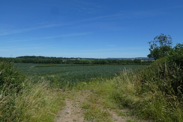
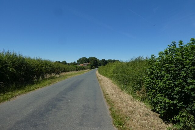
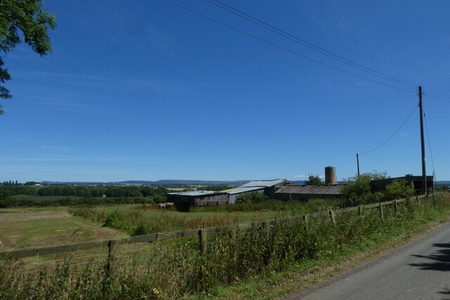
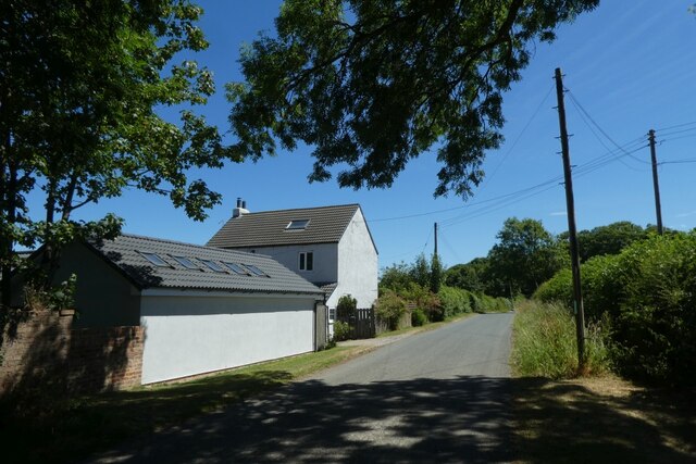
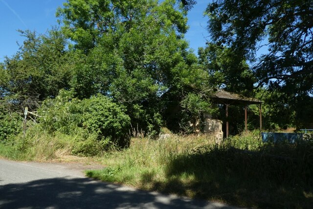
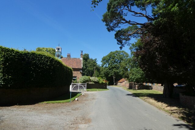
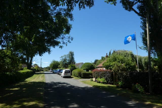
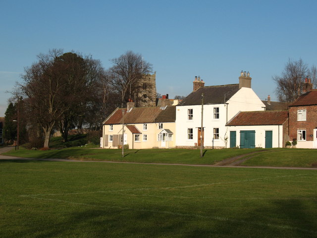
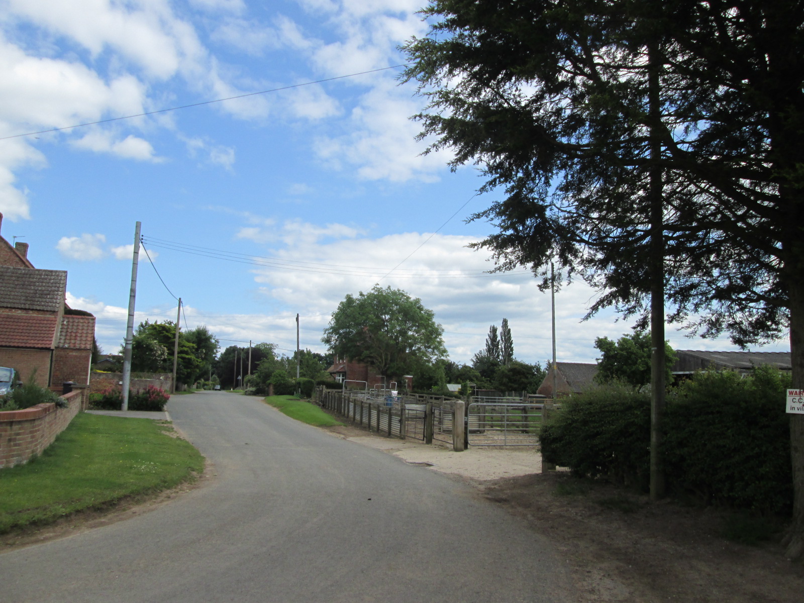
Stot Hill Images

Images are sourced within 2km of 54.256816/-1.4657587 or Grid Reference SE3484. Thanks to Geograph Open Source API. All images are credited.

Pickhill, All Saints This is one of the buttresses on the tower of All Saints church in Pickhill. This benchmark faces south west and is cut into the plinth stone.
Pickhill, All Saints
This is one of the buttresses on the tower of All Saints church in Pickhill. This benchmark faces south west and is cut into the plinth stone.
Pickhill, All Saints A benchmark is cut into the plinth stone of the south-west facing buttress of the church tower.
Pickhill, All Saints
A benchmark is cut into the plinth stone of the south-west facing buttress of the church tower.
Pickhill, converted Methodist Chapel The old Methodist Chapel, now converted into a private residence, is on the west side of the village street. There is a benchmark cut into the 5th and 6th course of bricks on the right of the main door.
Pickhill, converted Methodist Chapel
The old Methodist Chapel, now converted into a private residence, is on the west side of the village street. There is a benchmark cut into the 5th and 6th course of bricks on the right of the main door.
Pickhill, converted Methodist Chapel The old Methodist Chapel, now converted into a private residence, is on the west side of the village street. There is a benchmark cut into the 5th and 6th course of bricks on the right of the main door, and under the right hand window.
Pickhill, converted Methodist Chapel
The old Methodist Chapel, now converted into a private residence, is on the west side of the village street. There is a benchmark cut into the 5th and 6th course of bricks on the right of the main door, and under the right hand window.
Field near Greystone Looking into an arable field on the road between Kirby Wiske and Maunby.
Field near Greystone
Looking into an arable field on the road between Kirby Wiske and Maunby.
Road near Greystone Looking along the road from Kirby Wiske in the direction of Maunby on a hot Sunday in July.
Road near Greystone
Looking along the road from Kirby Wiske in the direction of Maunby on a hot Sunday in July.
Farm buildings at Greystone Looking along the road from Kirby Wiske in the direction of Maunby on a hot Sunday in July.
Farm buildings at Greystone
Looking along the road from Kirby Wiske in the direction of Maunby on a hot Sunday in July.
Fields at Greystone Looking towards some farm buildings along the road between Kirby Wiske and Maunby on a hot Sunday in July.
Fields at Greystone
Looking towards some farm buildings along the road between Kirby Wiske and Maunby on a hot Sunday in July.
Rose Cottage Looking towards a cottage along the road between Kirby Wiske and Maunby on a hot Sunday in July.
Rose Cottage
Looking towards a cottage along the road between Kirby Wiske and Maunby on a hot Sunday in July.
Barn in the trees Looking towards a farm building along the road between Kirby Wiske and Maunby on a hot Sunday in July.
Barn in the trees
Looking towards a farm building along the road between Kirby Wiske and Maunby on a hot Sunday in July.
Road near Maunby Hall Looking along the road between Kirby Wiske and Maunby on a hot Sunday in July.
Road near Maunby Hall
Looking along the road between Kirby Wiske and Maunby on a hot Sunday in July.
Yorkshire Flag in Maunby Looking through the village situated to the east of the River Swale.
Yorkshire Flag in Maunby
Looking through the village situated to the east of the River Swale.
Maunby Village Looking through the village situated to the east of the River Swale.
Maunby Village
Looking through the village situated to the east of the River Swale.
Village green in Maunby Looking across the village green in Maunby. The village is situated to the east of the River Swale.
Village green in Maunby
Looking across the village green in Maunby. The village is situated to the east of the River Swale.
Pickeringmoor Lane Looking along a lane in Maunby towards the Methodists Church.
Pickeringmoor Lane
Looking along a lane in Maunby towards the Methodists Church.
Maunby Gates Looking towards the former gatebox on the Harrogate - Ripon - Northallerton line.
Maunby Gates
Looking towards the former gatebox on the Harrogate - Ripon - Northallerton line.
Trackbed of the former railway Looking along part of the former Northallerton to Harrogate via Ripon line. The former line is now used as a path to reach the bridge over the River Swale.
Trackbed of the former railway
Looking along part of the former Northallerton to Harrogate via Ripon line. The former line is now used as a path to reach the bridge over the River Swale.
Houses in Maunby Houses located beside the village green in Maunby. The village is situated to the east of the River Swale.
Houses in Maunby
Houses located beside the village green in Maunby. The village is situated to the east of the River Swale.
Show me another place!

Stot Hill is located at Grid Ref: SE3484 (Lat: 54.256816, Lng: -1.4657587)

Division: North Riding

Administrative County: North Yorkshire

District: Hambleton

Police Authority: North Yorkshire

What 3 Words

///frowns.taps.magically. Near Thirsk, North Yorkshire

Nearby Locations

Stot Hill

Related Wikis

Pickhill

Pickhill is a village in North Yorkshire, England, 6 miles (10 km) west of Thirsk. It is a part of the civil parish of Pickhill with Roxby. == History... ==

Maunby

Maunby is a village and civil parish in the Hambleton district of North Yorkshire, England, about six miles south of Northallerton and on the River Swale...

Swainby with Allerthorpe

Swainby with Allerthorpe is a civil parish in the Hambleton district of North Yorkshire, England. The population of the civil parish at the 2011 census...

Pickhill railway station

Pickhill railway station served the village of Pickhill, North Yorkshire, England from 1875 to 1959 on the Leeds-Northallerton Railway. == History == The...

River Wiske

The River Wiske is a tributary of the River Swale in Yorkshire, England. The Wiske gives its name to several villages it passes through. The name Wiske...

Holme, North Yorkshire

Holme (or Holme on Swale) is a small village and civil parish in the Hambleton District of North Yorkshire, England. It is located near Pickhill, Sinderby...

St John the Baptist's Church, Kirby Wiske

St John the Baptist's Church, Kirby Wiske is a Grade II* listed parish church in the Church of England: 212  in Kirby Wiske, North Yorkshire. == History... ==

Kirby Wiske

Kirby Wiske is an English village and civil parish in the Hambleton District of North Yorkshire. It lies beside the River Wiske, about 4 miles (6.4 km...

Nearby Amenities

Located within 500m of 54.256816,-1.4657587
Barrier: yes
Lat/Long: 54.2542128/-1.4674069
The data included in this document is from www.openstreetmap.org. The data is made available under ODbL.

Have you been to Stot Hill?

Leave your review of Stot Hill below (or comments, questions and feedback).