Alexander's Hill
Hill, Mountain in Yorkshire Harrogate
England
Alexander's Hill
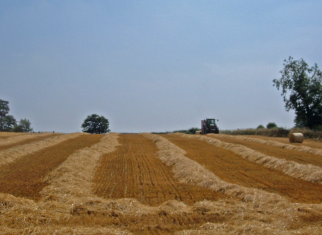
Alexander's Hill is a prominent geographical feature located in the county of Yorkshire, England. Situated in the southern part of the region, this hill is renowned for its picturesque beauty and historical significance. Rising to an elevation of approximately 500 meters above sea level, Alexander's Hill is considered one of the highest peaks in Yorkshire.
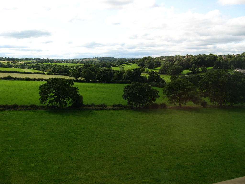
The hill derives its name from the legendary figure Alexander the Great, who was believed to have traversed these lands during his military campaigns. The hill offers breathtaking panoramic views of the surrounding countryside, with its slopes covered in lush greenery and dotted with vibrant wildflowers during the summer months.
Aside from its natural beauty, Alexander's Hill also has historical importance. It is home to several ancient settlements and burial mounds, dating back to the Bronze and Iron Ages. Archaeological excavations have revealed numerous artifacts and remains, shedding light on the early inhabitants of the area.
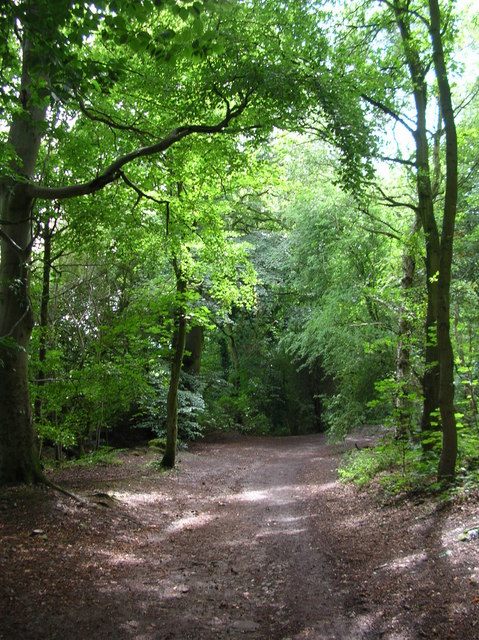
The hill is a popular destination for outdoor enthusiasts, attracting hikers, nature lovers, and photographers alike. Several well-marked trails meander through its slopes, providing visitors with opportunities to explore the diverse flora and fauna that call this hill home.
With its stunning landscapes, rich history, and recreational opportunities, Alexander's Hill is a must-visit destination for those seeking a unique experience in the heart of Yorkshire.
If you have any feedback on the listing, please let us know in the comments section below.
Alexander's Hill Images
Images are sourced within 2km of 53.963586/-1.5099507 or Grid Reference SE3252. Thanks to Geograph Open Source API. All images are credited.
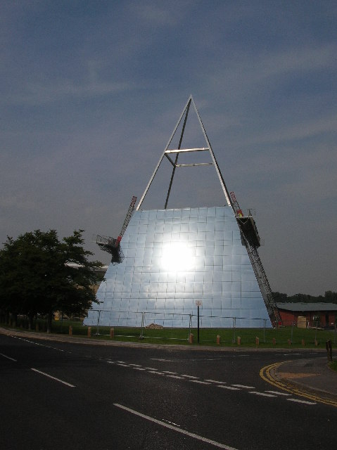
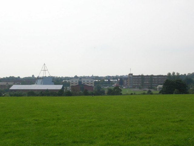
![Harrogate College Taken on a rather hazy day. Harrogate College A block stands on the right, and the glass pyramid [see other images of this square] is on the left.](https://s1.geograph.org.uk/photos/04/69/046901_641270b1.jpg)
Alexander's Hill is located at Grid Ref: SE3252 (Lat: 53.963586, Lng: -1.5099507)
Division: West Riding
Administrative County: North Yorkshire
District: Harrogate
Police Authority: North Yorkshire
What 3 Words
///birds.clots.glad. Near Pannal, North Yorkshire
Nearby Locations
Related Wikis

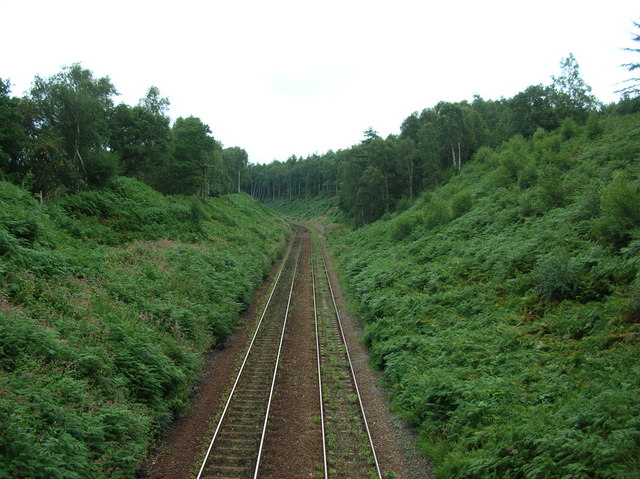
Crimple railway station
Crimple railway station served the suburb of Crimple, in the historical county of North Riding of Yorkshire, England, from 1867 to 1869 on the Harrogate...
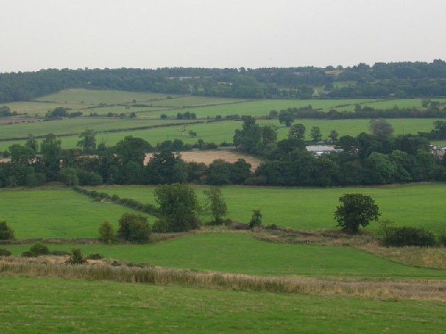
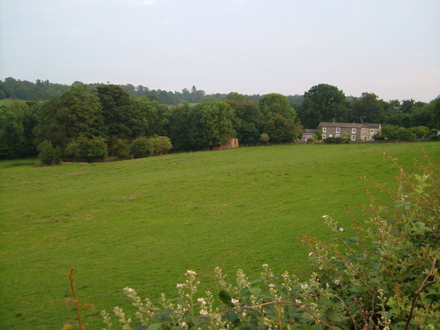
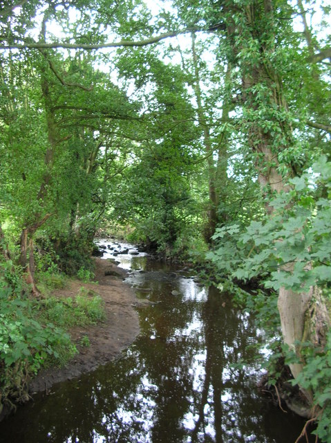
Crimple Valley
Crimple Valley is an area south of Harrogate (North Yorkshire) surrounding the River Crimple (also known as Crimple Beck). It gave its name to the synthetic...

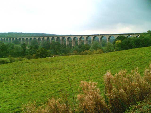
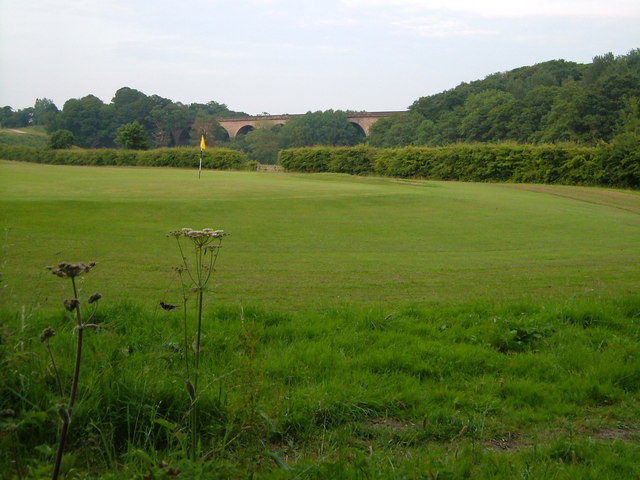
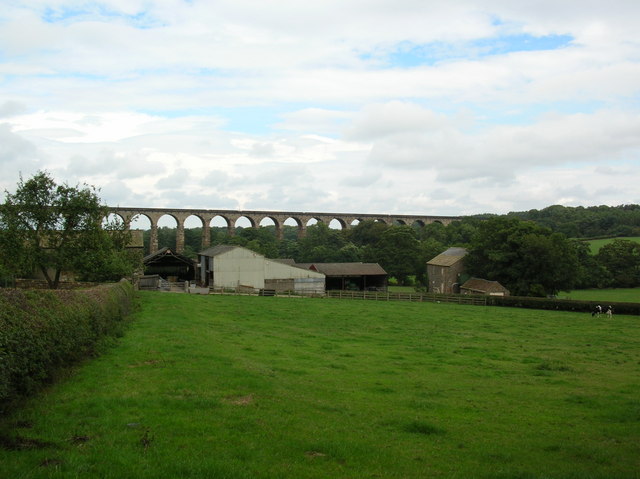
Crimple Valley Viaduct
Crimple Valley Viaduct, also known as Crimple Viaduct and Crimple Beck Viaduct is a railway viaduct which crosses the Crimple Valley between Pannal railway...
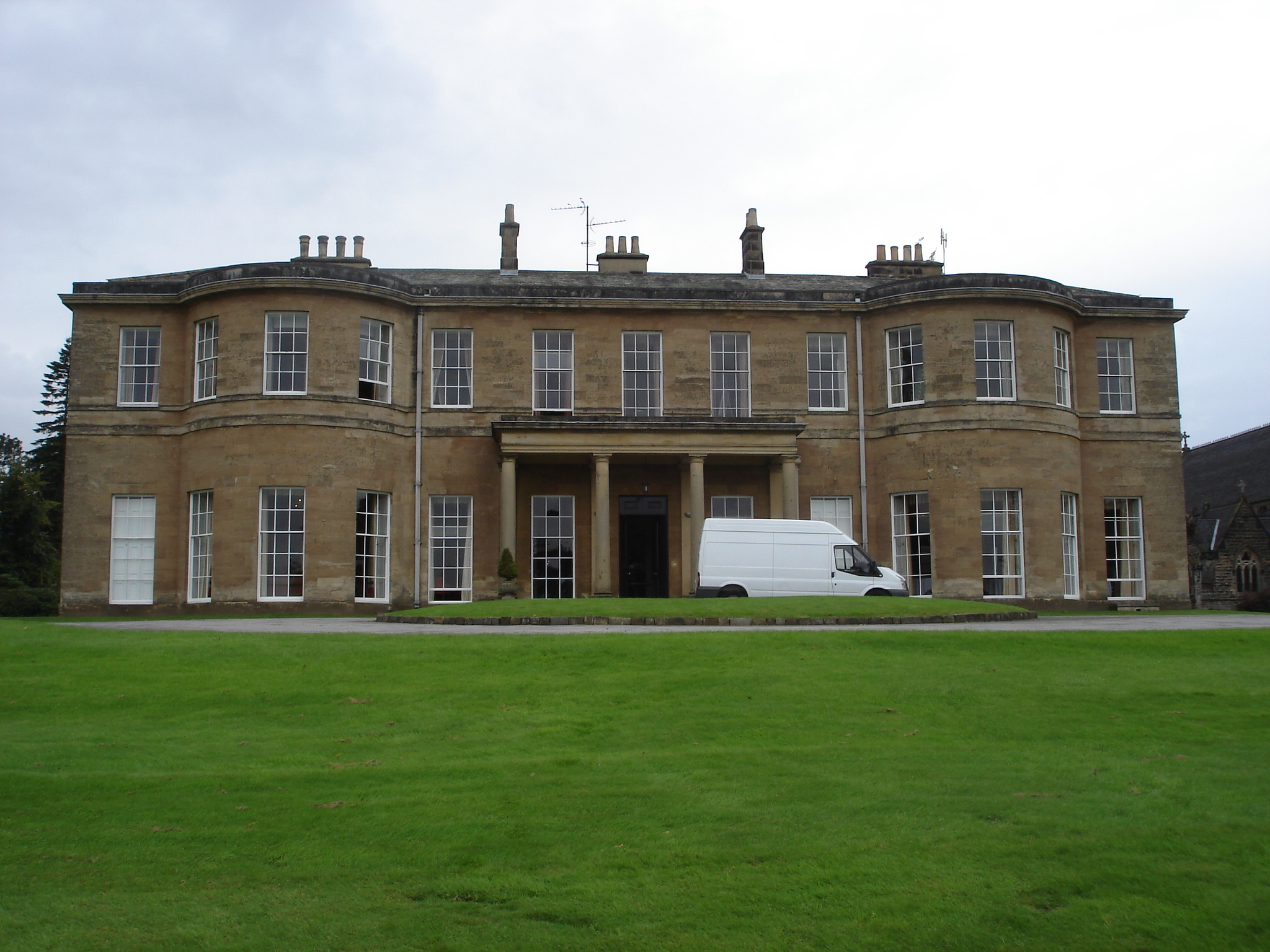
Rudding Park
Rudding Park Hotel, Spa and Golf is a Grade I listed Regency-style country house in Harrogate, North Yorkshire, England.It is situated within the 2,000...
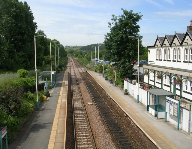
Pannal railway station
Pannal railway station serves the villages of Pannal and Spacey Houses in the southern suburbs of Harrogate, North Yorkshire, England, equidistant from...
Pannal
Pannal is a village in the Harrogate district of North Yorkshire, England. Historically part of the West Riding of Yorkshire, it is situated to the immediate...

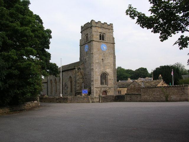
St Robert's Church, Pannal
St Robert's Church, Pannal, North Yorkshire, England, also known as St Robert of Knaresborough Parish Church, is a Grade II* listed building. A 13th-century...
Harrogate College
Harrogate College is a further education college in Harrogate, North Yorkshire, England. It traces its origins to the University Extension movement, which...
Nearby Amenities
Located within 500m of 53.963586,-1.5099507Have you been to Alexander's Hill?
Leave your review of Alexander's Hill below (or comments, questions and feedback).