Boyne Hill
Hill, Mountain in Yorkshire
England
Boyne Hill

Boyne Hill is a picturesque hill located in the county of Yorkshire, England. Situated in the beautiful countryside, this hill offers stunning panoramic views of the surrounding landscape, making it a popular destination for nature enthusiasts and hikers alike.
Rising to an elevation of approximately 250 meters, Boyne Hill is considered a moderate-sized hill, providing a challenging yet rewarding climb for outdoor enthusiasts. The hill is characterized by its gentle slopes and lush greenery, which is adorned with a variety of wildflowers and vegetation, creating a vibrant and scenic setting.
At the summit of Boyne Hill, visitors are greeted with breathtaking views of the surrounding countryside, including rolling hills, expansive meadows, and charming villages dotting the landscape. On a clear day, it is even possible to catch a glimpse of the distant Pennine Mountains, adding to the hill's allure.
The hill is also home to a diverse range of wildlife, including various bird species, rabbits, and occasionally, deer. This makes it an ideal spot for birdwatching and nature photography, allowing visitors to immerse themselves in the tranquility and natural beauty of the area.
Access to Boyne Hill is relatively easy, with a well-maintained footpath leading to the summit. However, it is advisable to wear appropriate footwear and bring along supplies, as there are no facilities or amenities on the hill itself.
Overall, Boyne Hill is a hidden gem in Yorkshire, offering visitors a chance to escape the hustle and bustle of everyday life and immerse themselves in the peaceful and scenic beauty of the countryside.
If you have any feedback on the listing, please let us know in the comments section below.
Boyne Hill Images
Images are sourced within 2km of 53.635024/-1.513598 or Grid Reference SE3215. Thanks to Geograph Open Source API. All images are credited.

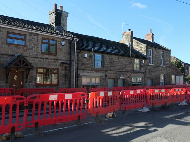
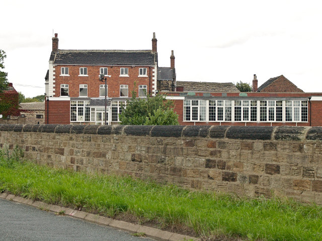
![Hall Lane, Chapelthorpe In the 1800s this was the main road through the village of Chapelthorpe. What is now Church Lane [where it is parallel to Hall Lane] was then Back Lane.](https://s1.geograph.org.uk/geophotos/07/14/10/7141065_557cc58e.jpg)


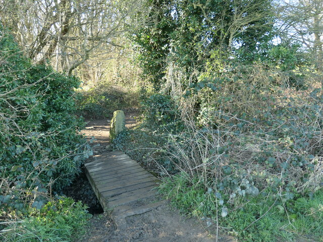
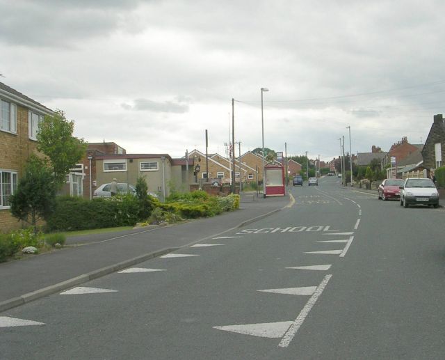
![Where four fields meet, south of Chapelthorpe And the public footpath turns sharp right [south-west].](https://s0.geograph.org.uk/geophotos/07/14/11/7141124_9cd33862.jpg)


Boyne Hill is located at Grid Ref: SE3215 (Lat: 53.635024, Lng: -1.513598)
Division: West Riding
Unitary Authority: Wakefield
Police Authority: West Yorkshire
What 3 Words
///masts.drainage.storage. Near Crigglestone, West Yorkshire
Nearby Locations
Related Wikis
Painthorpe
Painthorpe is a residential area in the Wakefield district, in the English county of West Yorkshire. It is situated southwest of Crigglestone. == Amenities... ==
Kettlethorpe, West Yorkshire
Kettlethorpe, originally a separate village, is a suburb that lies 2.5 miles (4 km) south of Wakefield city centre, in West Yorkshire, England. The suburb...
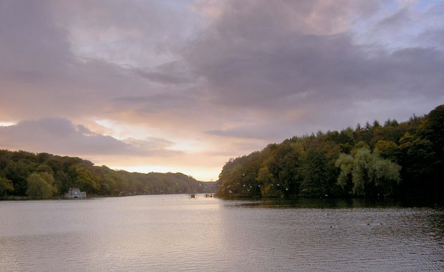
Newmillerdam
Newmillerdam is a village and suburb of Wakefield, in West Yorkshire, England. The name refers to the lake and country park adjacent to the village. The...
Crigglestone
Crigglestone is a village and civil parish in the City of Wakefield in West Yorkshire, England. It is recorded as "Crigeston" (along with neighbouring...
Nearby Amenities
Located within 500m of 53.635024,-1.513598Have you been to Boyne Hill?
Leave your review of Boyne Hill below (or comments, questions and feedback).