Humley Hill
Hill, Mountain in Yorkshire
England
Humley Hill

Humley Hill, located in Yorkshire, is a prominent hill that forms part of the stunning landscape of the region. Rising to an elevation of approximately 269 meters (883 feet), it is considered a notable landmark in the area. Situated near the village of South Hiendley, Humley Hill offers breathtaking views of the surrounding countryside.
The hill is a popular destination for hikers, nature enthusiasts, and those seeking a peaceful retreat. Its gentle slopes and well-maintained footpaths make it accessible to visitors of all ages and fitness levels. Walking trails crisscross the hill, providing opportunities to explore its diverse flora and fauna.
The summit of Humley Hill offers an unrivaled panorama of the surrounding area. On clear days, it is possible to see for miles, with views extending to the Yorkshire Dales and even the Peak District on exceptionally clear days. This vantage point also provides a unique glimpse into Yorkshire's industrial past, as remnants of coal mining can be seen in the valley below.
Humley Hill is an area of historical significance as well. The hill was once home to an Iron Age fort, and archaeological remains can still be found on its slopes. These remnants provide valuable insights into the region's ancient past.
Visitors to Humley Hill can also enjoy a range of recreational activities in the surrounding area. Nearby, there are opportunities for fishing, horseback riding, and birdwatching. The hill's proximity to South Hiendley means that amenities such as cafes, pubs, and accommodations are easily accessible.
In conclusion, Humley Hill in Yorkshire is a captivating destination that offers natural beauty, historical intrigue, and a range of recreational activities. Whether exploring its trails, admiring the views, or delving into its past, visitors are sure to find a memorable experience on Humley Hill.
If you have any feedback on the listing, please let us know in the comments section below.
Humley Hill Images
Images are sourced within 2km of 53.638504/-1.5050882 or Grid Reference SE3215. Thanks to Geograph Open Source API. All images are credited.

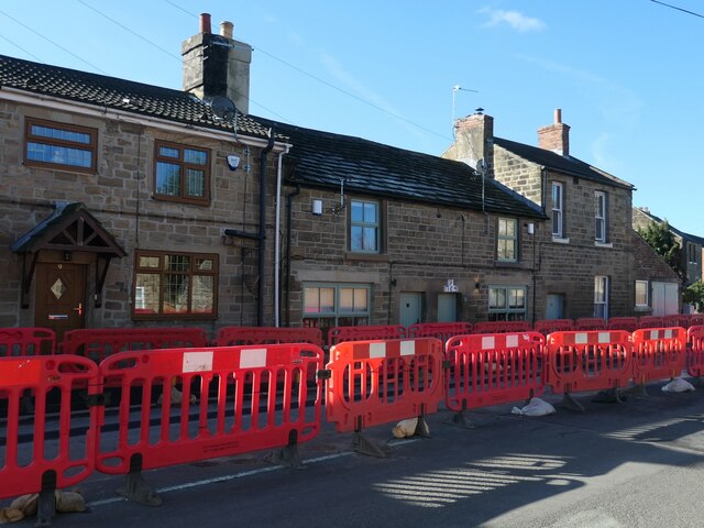
![Hall Lane, Chapelthorpe In the 1800s this was the main road through the village of Chapelthorpe. What is now Church Lane [where it is parallel to Hall Lane] was then Back Lane.](https://s1.geograph.org.uk/geophotos/07/14/10/7141065_557cc58e.jpg)


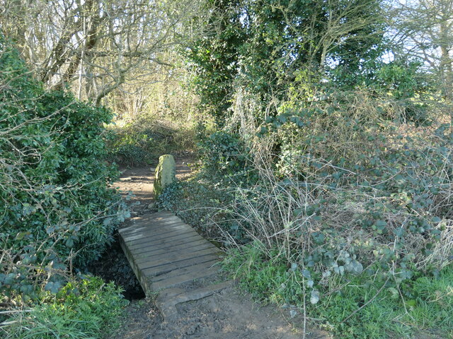
![Where four fields meet, south of Chapelthorpe And the public footpath turns sharp right [south-west].](https://s0.geograph.org.uk/geophotos/07/14/11/7141124_9cd33862.jpg)


Humley Hill is located at Grid Ref: SE3215 (Lat: 53.638504, Lng: -1.5050882)
Division: West Riding
Unitary Authority: Wakefield
Police Authority: West Yorkshire
What 3 Words
///rapport.skid.vitals. Near Crigglestone, West Yorkshire
Nearby Locations
Related Wikis
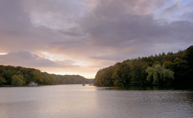
Newmillerdam
Newmillerdam is a village and suburb of Wakefield, in West Yorkshire, England. The name refers to the lake and country park adjacent to the village. The...
Kettlethorpe, West Yorkshire
Kettlethorpe, originally a separate village, is a suburb that lies 2.5 miles (4 km) south of Wakefield city centre, in West Yorkshire, England. The suburb...
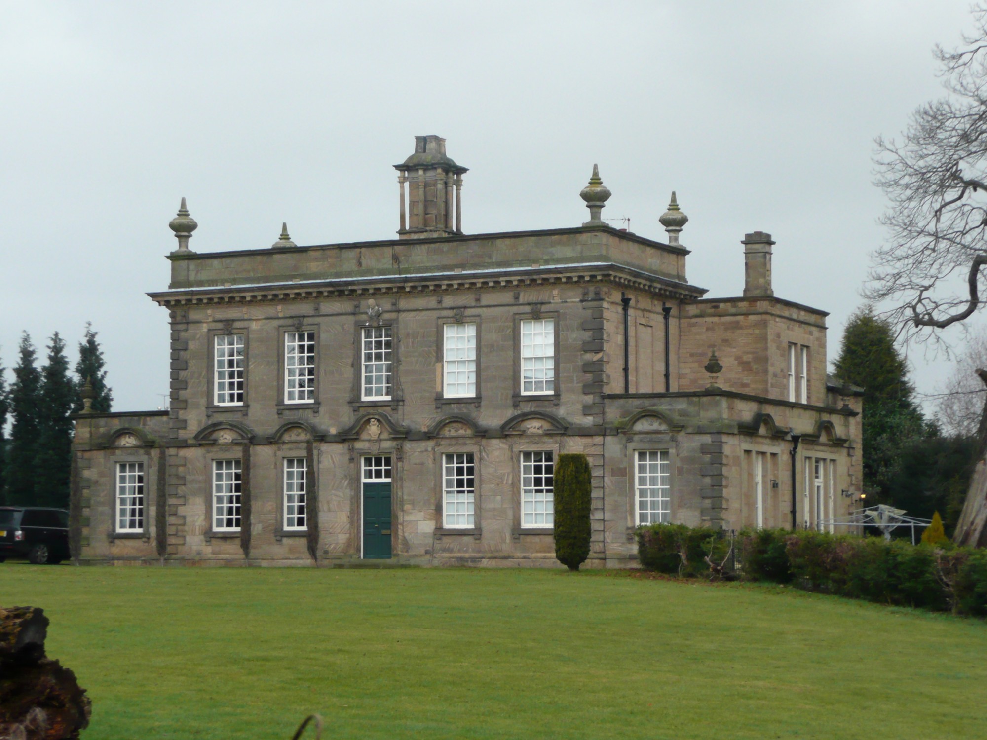
Kettlethorpe Hall, West Yorkshire
Kettlethorpe Hall is a Georgian house in Wakefield, West Yorkshire, England. The hall is a Grade I listed building. From 1847 until 1996, the grounds of...
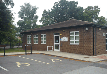
Kettlethorpe High School
Kettlethorpe High School (KHS) is a mixed secondary school with specialist status for maths and computing in Wakefield, West Yorkshire, England. It provides...
Nearby Amenities
Located within 500m of 53.638504,-1.5050882Have you been to Humley Hill?
Leave your review of Humley Hill below (or comments, questions and feedback).