Quhaap Knowe
Hill, Mountain in Shetland
Scotland
Quhaap Knowe
Quhaap Knowe is a prominent hill located in the Shetland Islands, Scotland. It forms part of the rolling landscape in the central region of the islands, specifically in the northern part of mainland Shetland. Rising to an elevation of approximately 284 meters (932 feet), it stands as one of the highest points in the area.
The hill is characterized by its distinct conical shape, which is a result of its volcanic origins. It is believed to have been formed during the Devonian period, around 400 million years ago, when volcanic activity was prevalent in the region. The hill is mainly composed of basalt, a dark, fine-grained volcanic rock.
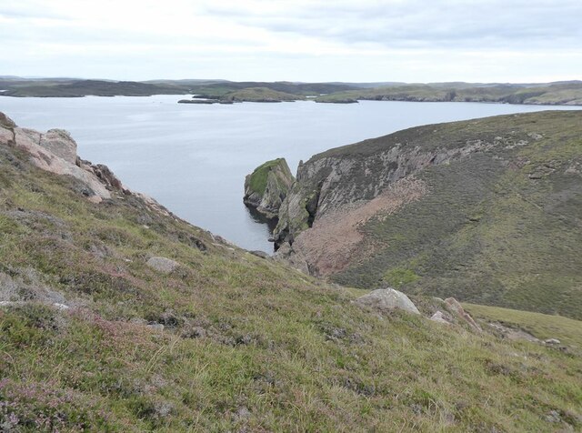
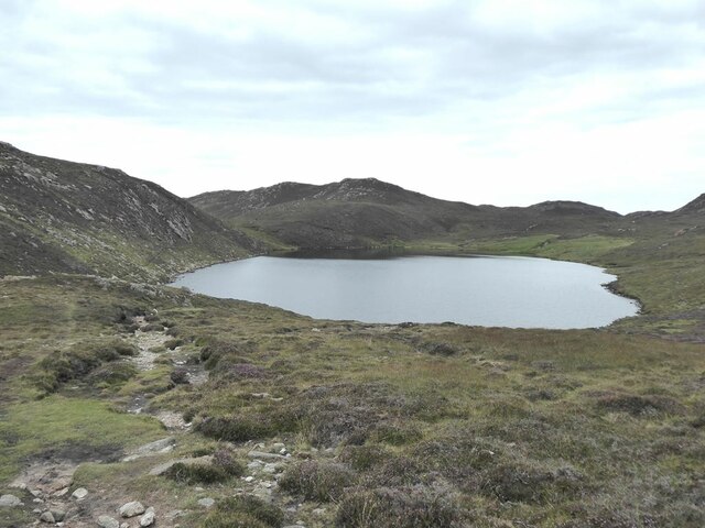
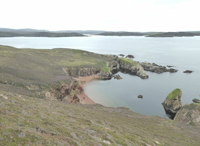
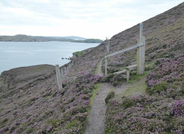
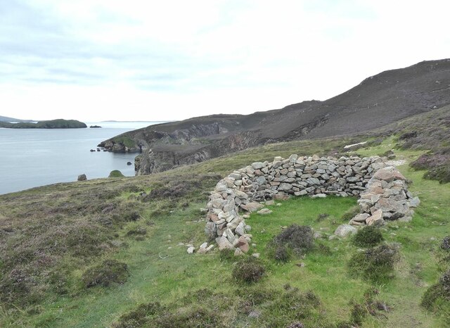
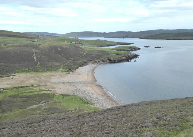
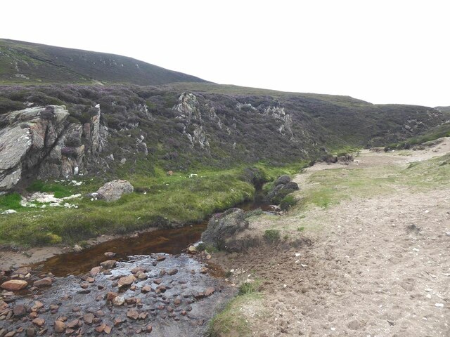
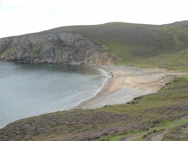
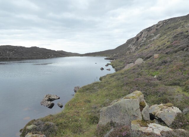
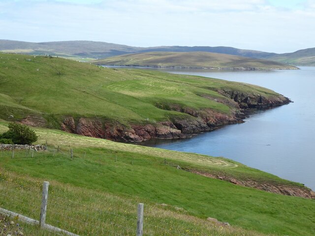
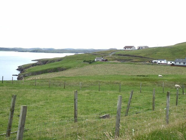
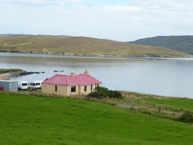
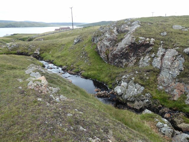
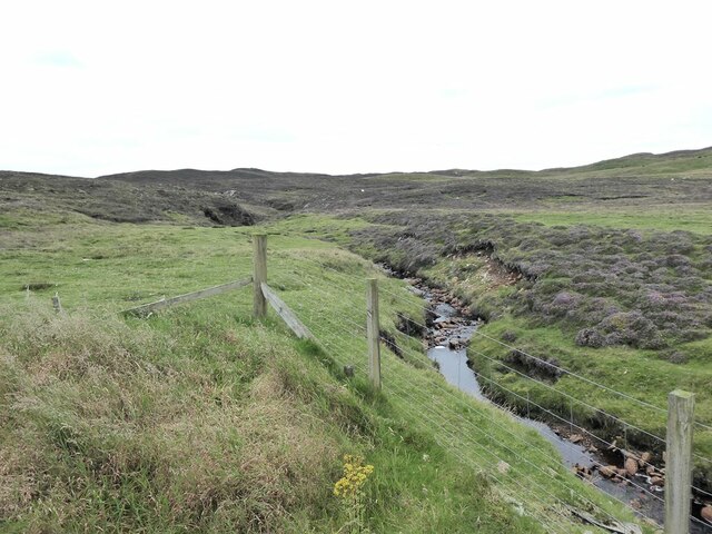
Quhaap Knowe is surrounded by picturesque scenery, with breathtaking views extending across the surrounding countryside and coastline. On a clear day, visitors can enjoy panoramic vistas of the North Sea and neighboring islands. The hill is also home to a variety of flora and fauna, including heather, grasses, and wildflowers, as well as a diverse range of bird species.
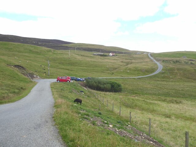
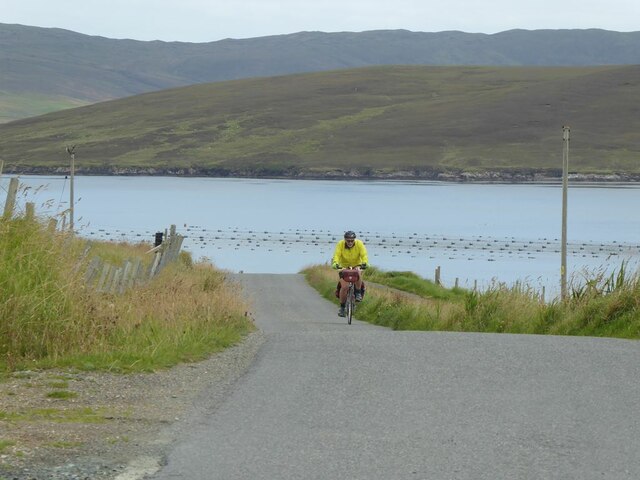
The location of Quhaap Knowe makes it an ideal destination for outdoor enthusiasts and hikers. Several walking trails traverse the hill, offering different levels of difficulty to cater to various abilities. These routes provide opportunities to explore the natural beauty of the area and provide an insight into the geological history of the Shetland Islands.
Overall, Quhaap Knowe stands as an impressive landmark in the Shetland Islands, offering visitors a chance to immerse themselves in the stunning landscapes and rich natural heritage of the region.
If you have any feedback on the listing, please let us know in the comments section below.
Quhaap Knowe Images
Images are sourced within 2km of 60.352816/-1.4221922 or Grid Reference HU3163. Thanks to Geograph Open Source API. All images are credited.
Quhaap Knowe is located at Grid Ref: HU3163 (Lat: 60.352816, Lng: -1.4221922)
Unitary Authority: Shetland Islands
Police Authority: Highlands and Islands
What 3 Words
///forklift.organ.amuses. Near Brae, Shetland Islands
Nearby Locations
Related Wikis

Muckle Roe
Muckle Roe is an island in Shetland, Scotland, in St. Magnus Bay, to the west of Mainland. It has a population of around 130 people, who mainly croft and...

Papa Little
Papa Little (Scots: Papa Little; Old Norse: Papey Litla, meaning "the little island of the priests") is an island in St Magnus Bay, Shetland, Scotland...
Linga (near Vementry)
Linga is one of the Shetland Islands, near Vementry. It is one of many islands in Shetland called Linga. The island is uninhabited. == Geography and... ==

Vementry
Vementry (Old Norse: "Vemunðarey") is an uninhabited Scottish island in Shetland on the north side of the West Mainland, lying south of Muckle Roe. �...
Linga, Busta Voe
Linga is a small, uninhabited island, 1 km (0.62 mi) east of Muckle Roe in the Shetland Islands. The island is roughly circular in shape and its highest...
Busta Voe
Busta Voe, (HU665350), in the north central Mainland, Shetland, is a sea inlet lying between the village of Brae and the island of Muckle Roe. At the head...

Shetland
Shetland, also called the Shetland Islands and formerly Zetland, is an archipelago in Scotland lying between Orkney, the Faroe Islands, and Norway. It...

Mavis Grind
Mavis Grind (Old Norse: Mæfeiðs grind or Mæveiðs grind, meaning "gate of the narrow isthmus") is a narrow isthmus joining the Northmavine peninsula to...
Nearby Amenities
Located within 500m of 60.352816,-1.4221922Have you been to Quhaap Knowe?
Leave your review of Quhaap Knowe below (or comments, questions and feedback).