Pignal Hill
Hill, Mountain in Hampshire New Forest
England
Pignal Hill

Pignal Hill is a modest hill located in the beautiful county of Hampshire, in southern England. Situated near the village of Pignal, this small hill offers stunning panoramic views of the surrounding countryside and is a popular spot for outdoor enthusiasts and nature lovers.
With an elevation of approximately 180 meters (590 feet), Pignal Hill is often referred to as a mountain by locals due to its prominent position in the landscape. The hill is formed from chalk, a characteristic feature of the Hampshire Downs, which gives it a unique appearance and contributes to its natural beauty.
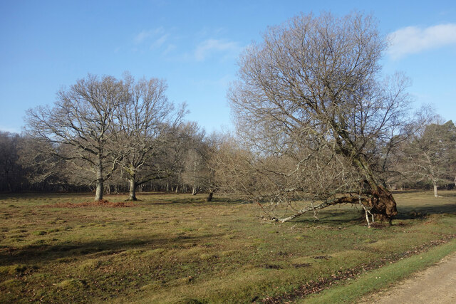
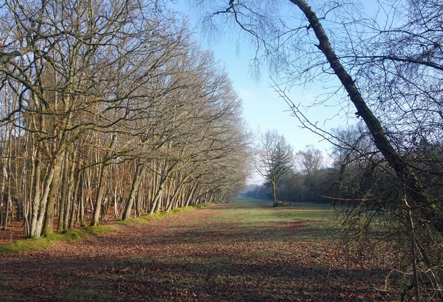
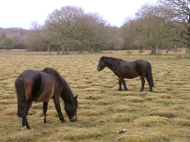
The hill is mostly covered in grassland, with a few scattered trees and shrubs, providing a habitat for various species of wildlife. It is not uncommon to encounter rabbits, foxes, and a variety of bird species, adding to the tranquility and charm of the area.
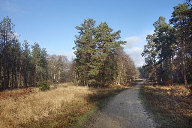
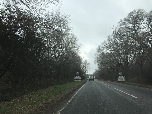
Pignal Hill is easily accessible, with a network of footpaths leading to the summit. Visitors can enjoy leisurely walks or more challenging hikes, depending on their preferences and fitness levels. The hill is also a popular destination for picnics, as there are several designated areas with benches and tables.
The panoramic views from Pignal Hill are truly breathtaking. On a clear day, one can see vast expanses of rolling green fields, picturesque villages, and even glimpses of the distant coast. The hill is especially popular during sunrise and sunset, when the sky is painted with vibrant hues, creating a magical atmosphere.
Overall, Pignal Hill is a peaceful and scenic destination that offers a wonderful opportunity to connect with nature and enjoy the tranquility of the Hampshire countryside.
If you have any feedback on the listing, please let us know in the comments section below.
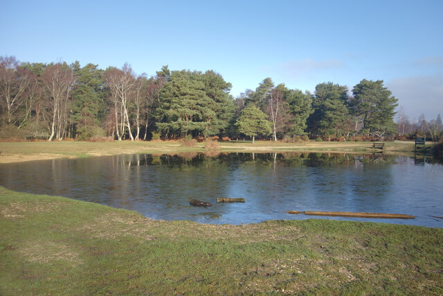
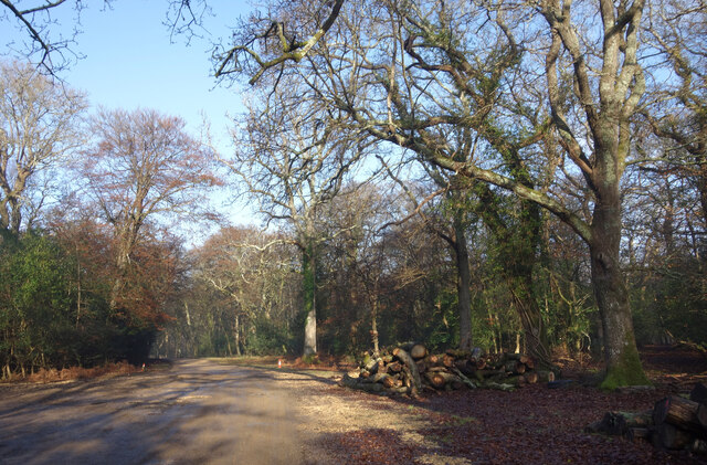
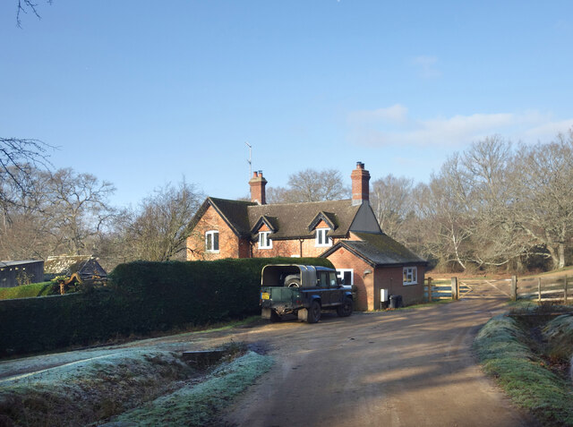
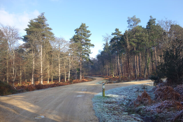
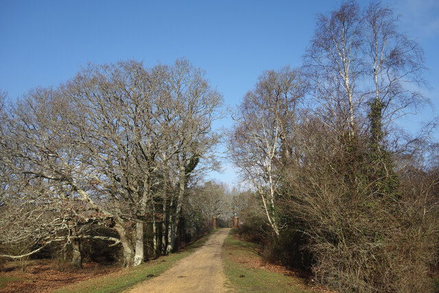
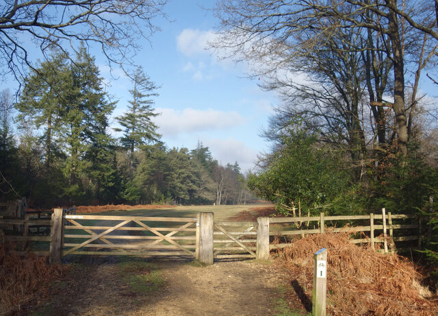
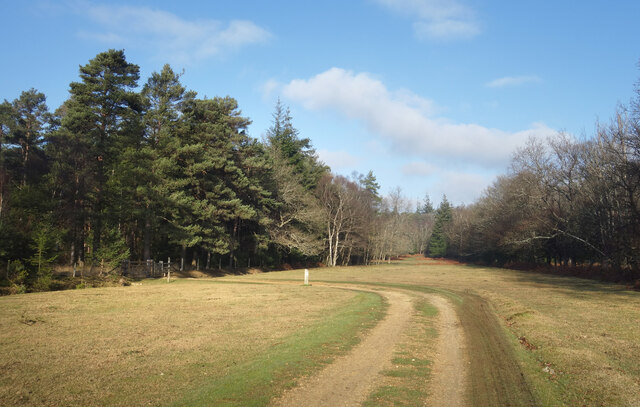
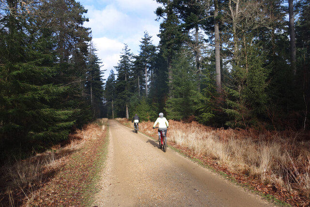
Pignal Hill Images
Images are sourced within 2km of 50.829158/-1.5470233 or Grid Reference SU3103. Thanks to Geograph Open Source API. All images are credited.


Pignal Hill is located at Grid Ref: SU3103 (Lat: 50.829158, Lng: -1.5470233)
Administrative County: Hampshire
District: New Forest
Police Authority: Hampshire
What 3 Words
///contracting.limped.incursion. Near Brockenhurst, Hampshire
Nearby Locations
Related Wikis

Brockenhurst College
Brockenhurst College is a large tertiary college situated in Brockenhurst, Hampshire. Co-educational since the 1920s, Brockenhurst College accepts students...
Balmer Lawn
Balmer Lawn is the name of a large New Forest Lawn located in an amphitheatre of woodland in the New Forest National Park in Hampshire, England. It is...

Brockenhurst F.C.
Brockenhurst Football Club is a football club based in Brockenhurst, near Lymington, in Hampshire, England. They are currently members of the Wessex League...
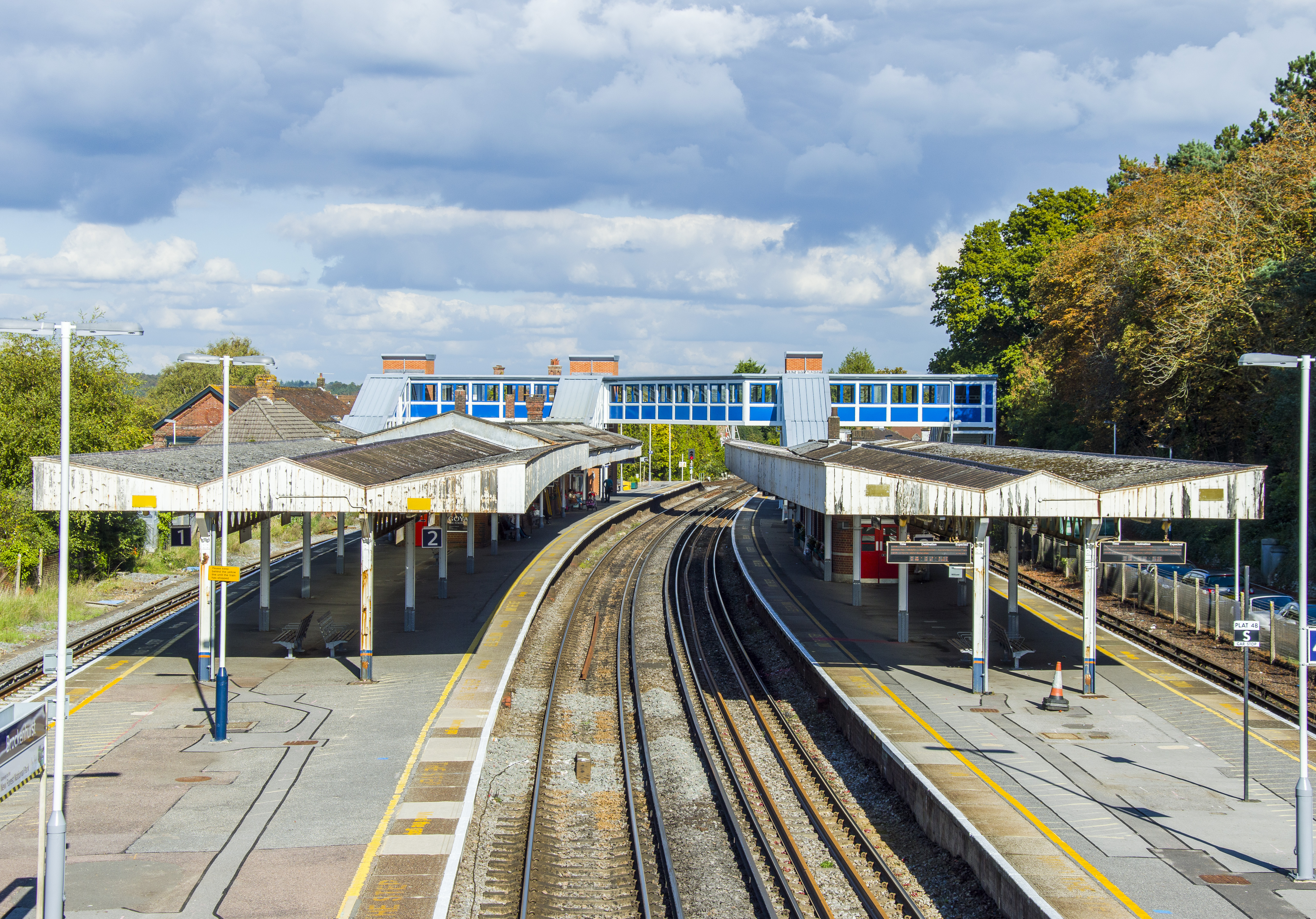
Brockenhurst railway station
Brockenhurst railway station serves the largest village of Brockenhurst in Hampshire, England. It is located on the South West Main Line from London Waterloo...
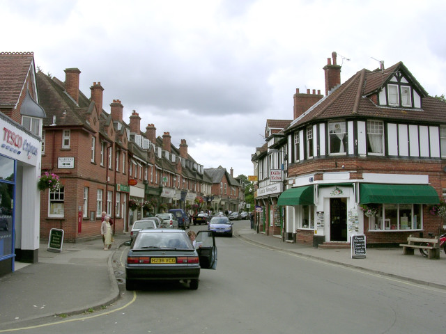
Brockenhurst
Brockenhurst is the largest village by population within the New Forest in Hampshire, England. The nearest city is Southampton some 13 miles (21 km) to...

No. 1 New Zealand General Hospital
The № 1 New Zealand General Hospital (1NZGH) was a World War I military hospital in Brockenhurst, Hampshire, England. The hospital was established in June...
Brockenhurst Church of England Primary School
Brockenhurst School, now Brockenhurst Church of England Primary School, is a former charity school in the English village of Brockenhurst, Hampshire. It...

Lymington River SSSI
Lymington River SSSI is a 34.8-hectare (86-acre) biological and geological Site of Special Scientific Interest along Lymington River and its tributaries...
Nearby Amenities
Located within 500m of 50.829158,-1.5470233Have you been to Pignal Hill?
Leave your review of Pignal Hill below (or comments, questions and feedback).