Blackdown Hill
Hill, Mountain in Warwickshire Warwick
England
Blackdown Hill
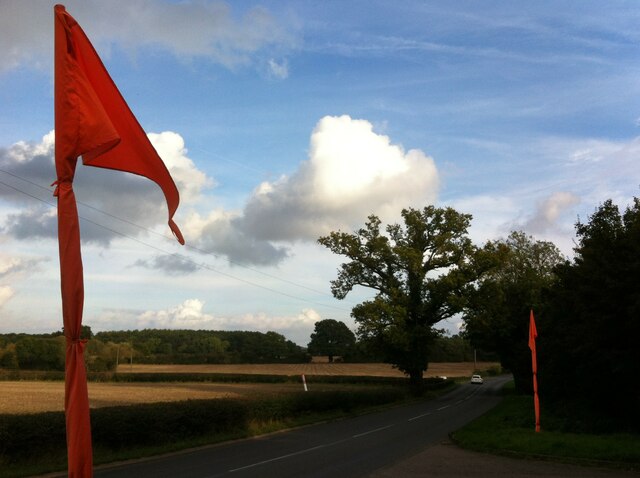
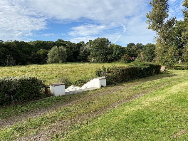
Blackdown Hill is an imposing geological feature located in the county of Warwickshire, England. Standing at an elevation of 275 meters (902 feet), it is considered one of the highest points in the county and is part of the wider Clent Hills range. The hill is situated within the Blackdown Nature Reserve, which covers an area of approximately 40 hectares.
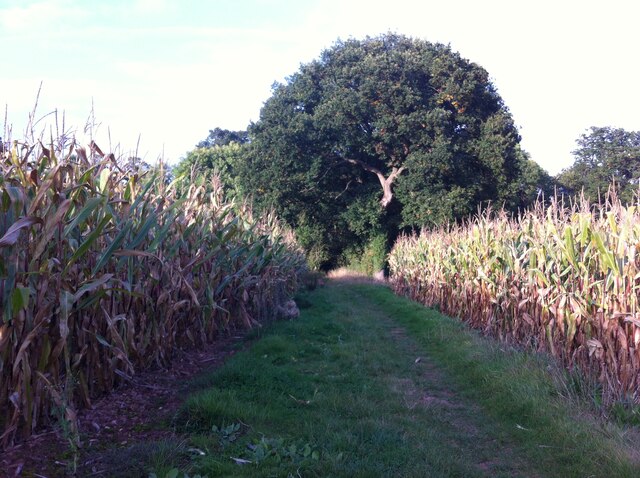
Blackdown Hill is characterized by its gently sloping grassy terrain, adorned with patches of heather and bracken. The hill is largely composed of sandstone, a sedimentary rock that gives it its distinctive reddish color. The sandy soil, combined with the hill's elevation, fosters a unique ecosystem that supports a variety of flora and fauna.
At the summit of Blackdown Hill, visitors are rewarded with panoramic views of the surrounding Warwickshire countryside. On clear days, one can see as far as the Malvern Hills to the west and the Cotswolds to the south. The hill's vantage point also overlooks the peaceful village of Kenilworth, adding to its picturesque appeal.
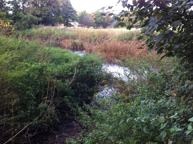
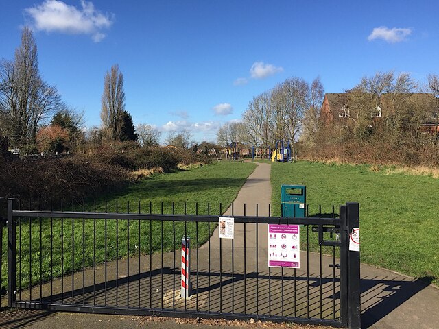
The Blackdown Nature Reserve, managed by Warwickshire Wildlife Trust, provides a haven for wildlife enthusiasts and hikers alike. The area is home to an array of bird species, including buzzards, kestrels, and skylarks, making it a popular destination for birdwatching. The hill's diverse habitats also support a range of butterfly and wildflower species, adding to its ecological significance.
Overall, Blackdown Hill in Warwickshire offers visitors a chance to immerse themselves in the natural beauty of the English countryside while enjoying breathtaking views and a rich biodiversity.
If you have any feedback on the listing, please let us know in the comments section below.
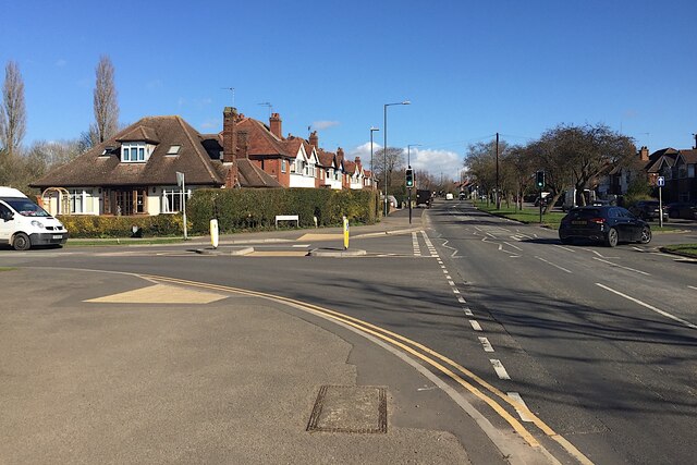
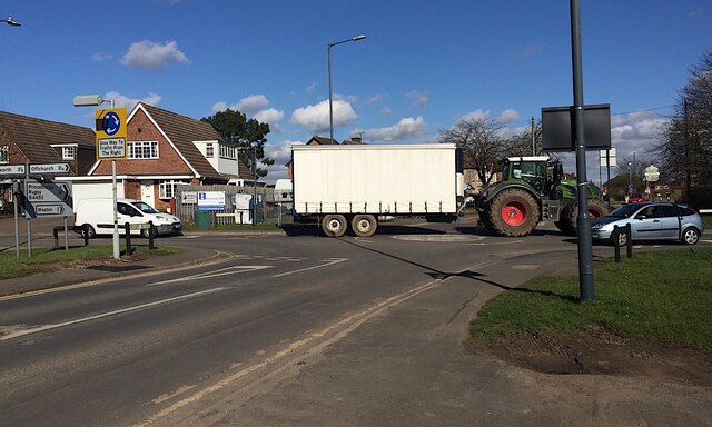
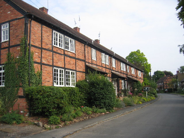
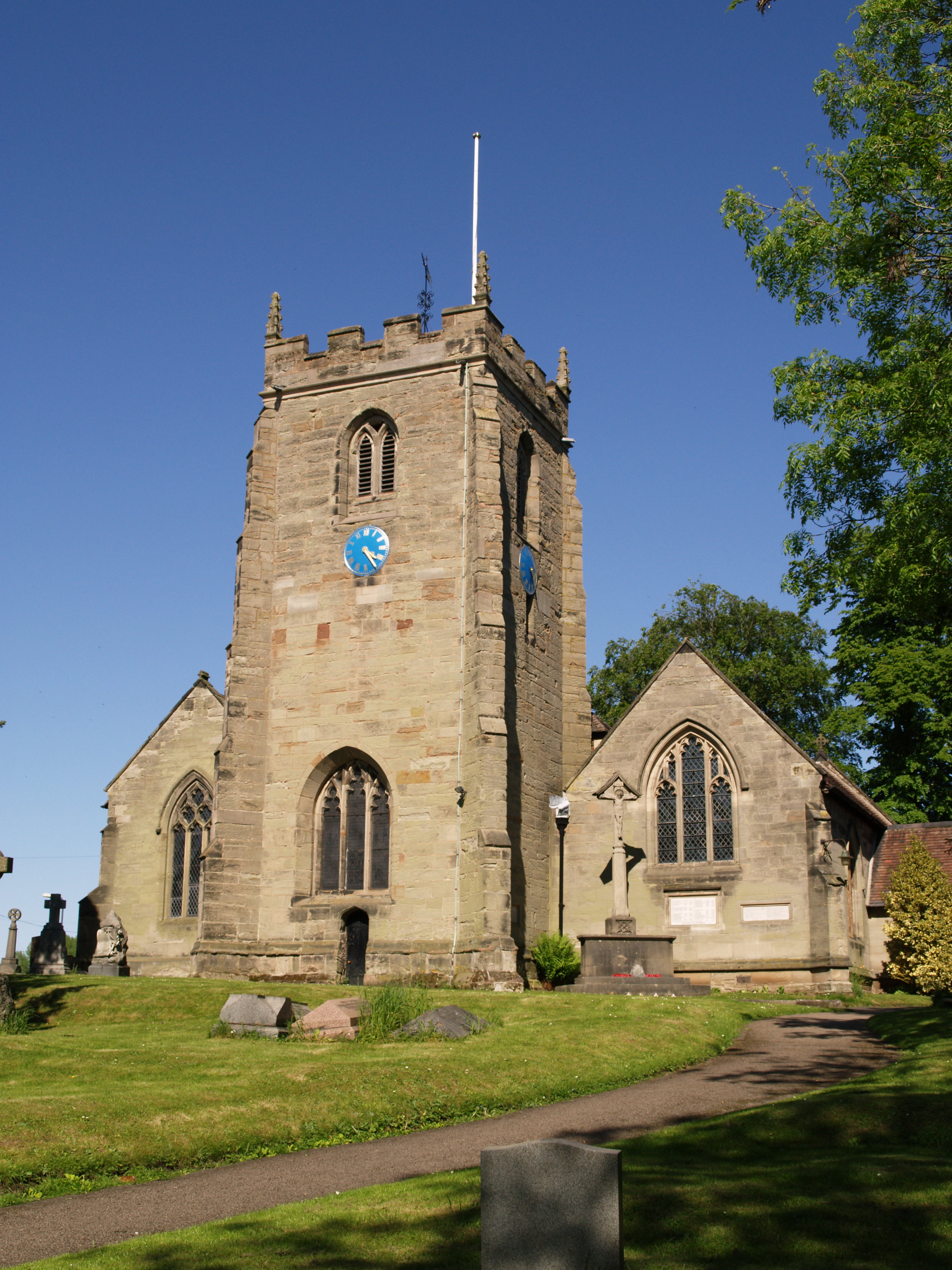
Blackdown Hill Images
Images are sourced within 2km of 52.317817/-1.5318275 or Grid Reference SP3268. Thanks to Geograph Open Source API. All images are credited.
Blackdown Hill is located at Grid Ref: SP3268 (Lat: 52.317817, Lng: -1.5318275)
Administrative County: Warwickshire
District: Warwick
Police Authority: Warwickshire
What 3 Words
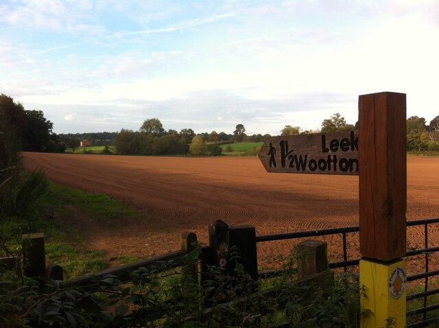
///stand.draw.spits. Near Leek Wootton, Warwickshire
Nearby Locations
Related Wikis

Blackdown, Warwickshire
Blackdown is a hamlet and civil parish in the Warwick district of Warwickshire, England. Blackdown is about two miles north of Leamington Spa, between...
Ashow
Ashow is a small village and civil parish in the Warwick district of Warwickshire, England, about 2.5 miles (4 km) south-east of central Kenilworth. According...
North Leamington School
North Leamington School (NLS) is a mixed, non-selective, comprehensive school for students aged 11 to 18 years located at the northeastern edge of Leamington...
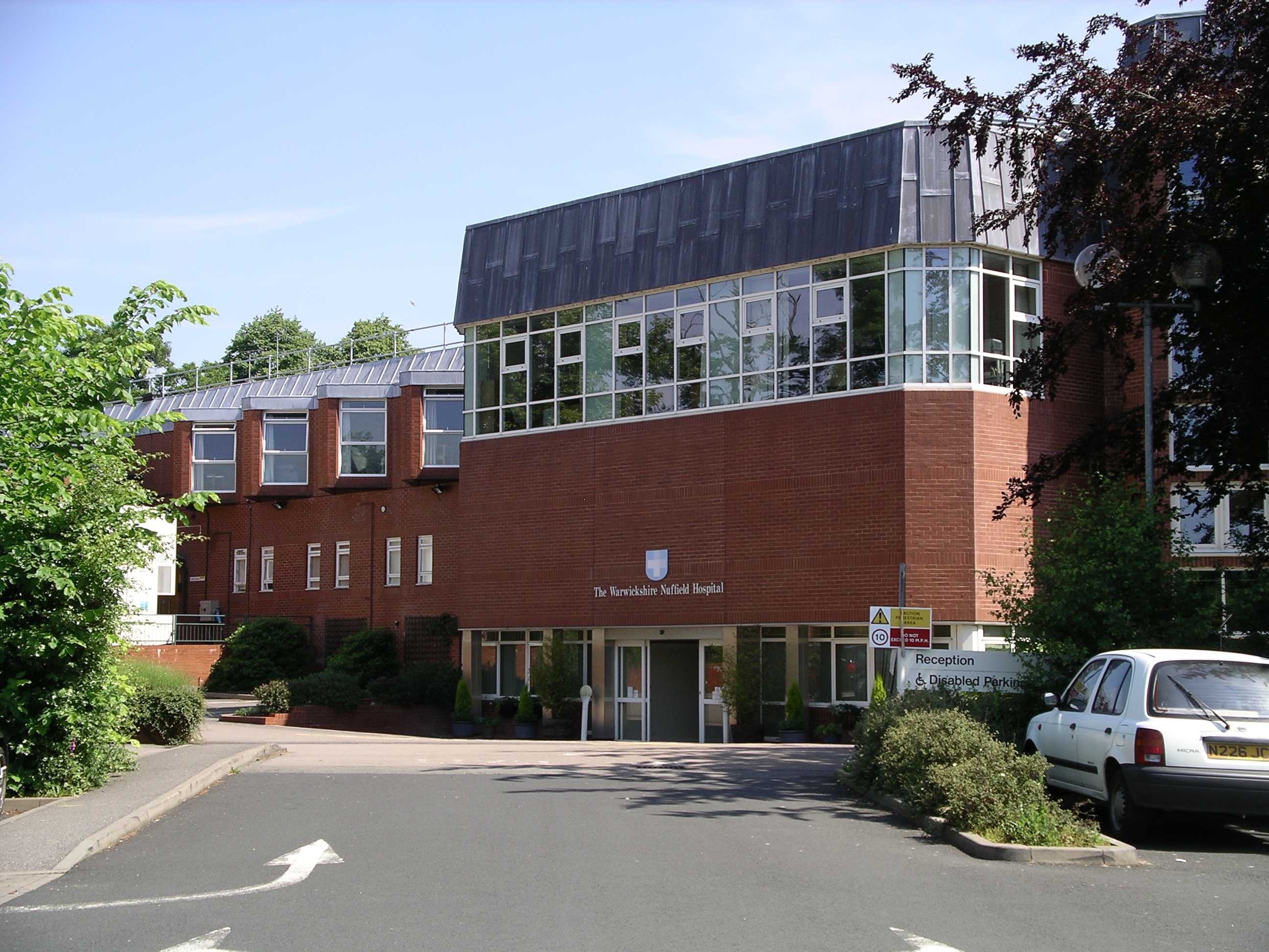
Warwickshire Nuffield Hospital
Warwickshire Nuffield Hospital is a not-for-profit private hospital situated in the north of Leamington Spa, Warwickshire, England. == History == The hospital...

A445 road
The A445 road is a road in Warwickshire, England. It runs between the town of Warwick and the A45, also passing through the north of Leamington Spa. The...

Lillington Free Church
Lillington Free Church is a free church, located in Lillington, Leamington Spa, England. As of February 2019 the current Minister is Rev James Church who...
St Mary Magdalene's Church, Lillington
St Mary Magdalene's Church, Lillington is the Church of England parish church of Lillington, Warwickshire, a part of Royal Leamington Spa with a population...

Leamington Cricket Club Ground
Leamington Cricket Club Ground is a cricket ground in Leamington Spa, Warwickshire. == History == The first recorded match on the ground was in 1900, when...
Nearby Amenities
Located within 500m of 52.317817,-1.5318275Have you been to Blackdown Hill?
Leave your review of Blackdown Hill below (or comments, questions and feedback).