Ara Clett
Hill, Mountain in Shetland
Scotland
Ara Clett
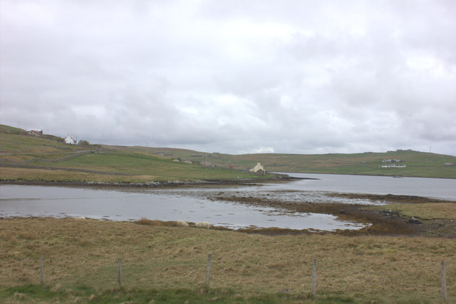
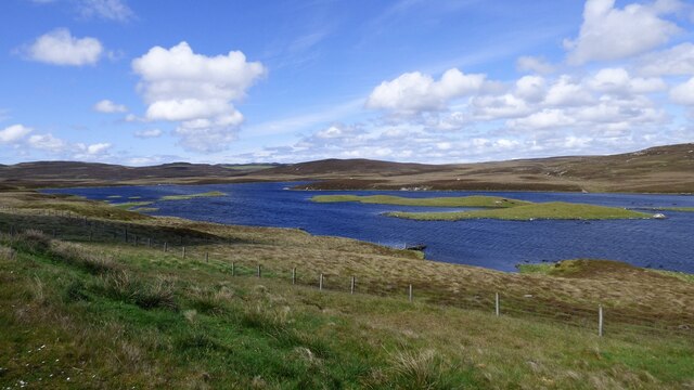
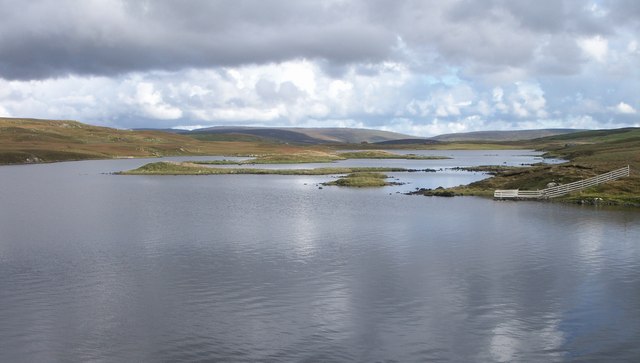
Ara Clett is a prominent hill located in the Shetland Islands, an archipelago in Scotland. Situated on the west coast of the island of Yell, Ara Clett stands at an elevation of approximately 267 meters (876 feet) above sea level. The hill is known for its distinctive shape and striking cliffs that offer breathtaking views of the surrounding landscape.
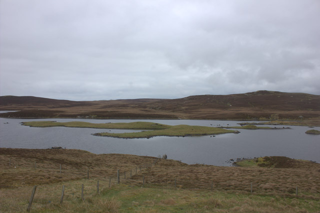
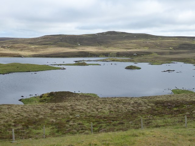
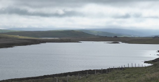
Ara Clett is a popular destination for hikers and nature enthusiasts due to its accessibility and stunning scenery. The hill is characterized by heather-covered slopes, rugged rock formations, and a diverse array of flora and fauna. The surrounding area is also home to various bird species, including puffins, fulmars, and guillemots, making it a haven for birdwatchers.
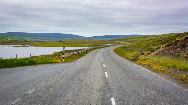
The ascent to Ara Clett is relatively easy, with a well-defined trail that leads to the summit. From the top, visitors can enjoy panoramic vistas of Yell Sound, the nearby islands, and the vast Atlantic Ocean. On clear days, the views extend as far as the distant mainland.
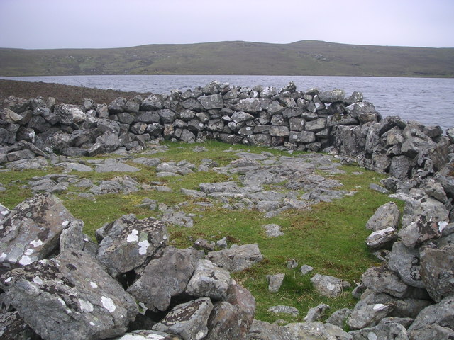
The hill is steeped in local folklore and history. Ara Clett is said to have been a site of ancient settlements, and remnants of these can still be found in the form of stone structures and ruined buildings. The hill also played a role in local traditions and customs, with tales of supernatural beings and mythical creatures associated with its landscape.
Overall, Ara Clett is a captivating landmark in the Shetland Islands, offering visitors a chance to immerse themselves in the natural beauty and rich heritage of the region.
If you have any feedback on the listing, please let us know in the comments section below.
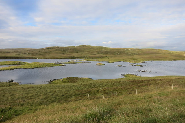
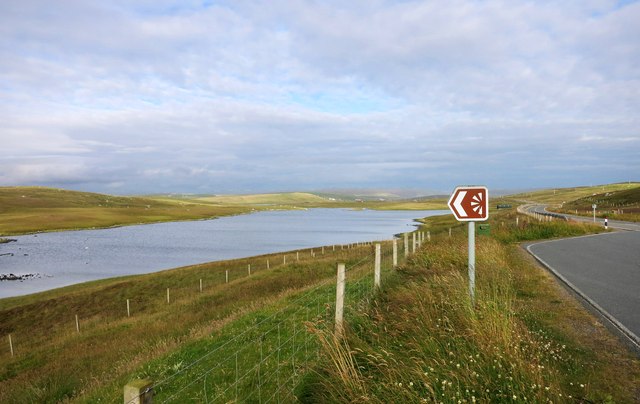
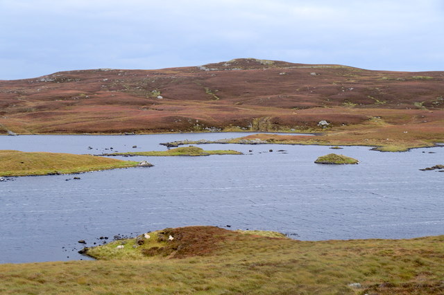
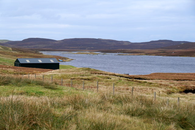
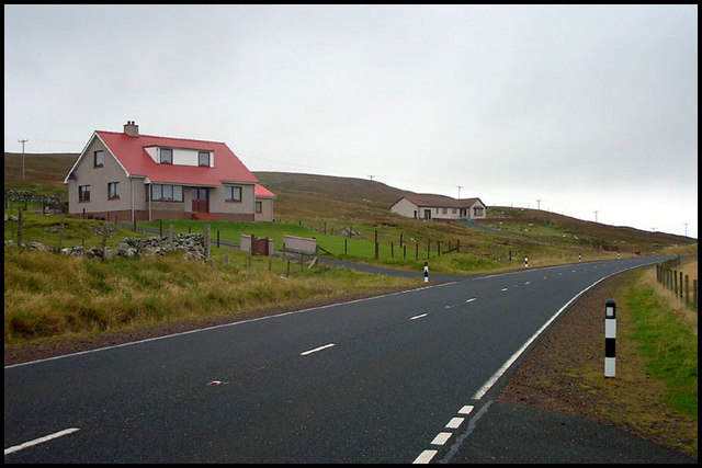
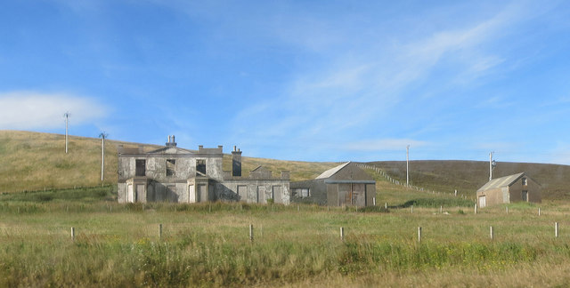
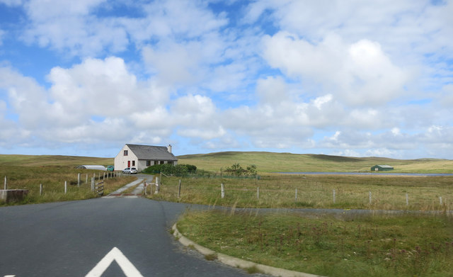
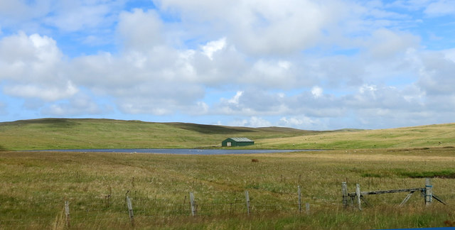
Ara Clett Images
Images are sourced within 2km of 60.258569/-1.4377304 or Grid Reference HU3152. Thanks to Geograph Open Source API. All images are credited.
Ara Clett is located at Grid Ref: HU3152 (Lat: 60.258569, Lng: -1.4377304)
Unitary Authority: Shetland Islands
Police Authority: Highlands and Islands
What 3 Words
///clouding.teeth.album. Near Aith, Shetland Islands
Nearby Locations
Related Wikis

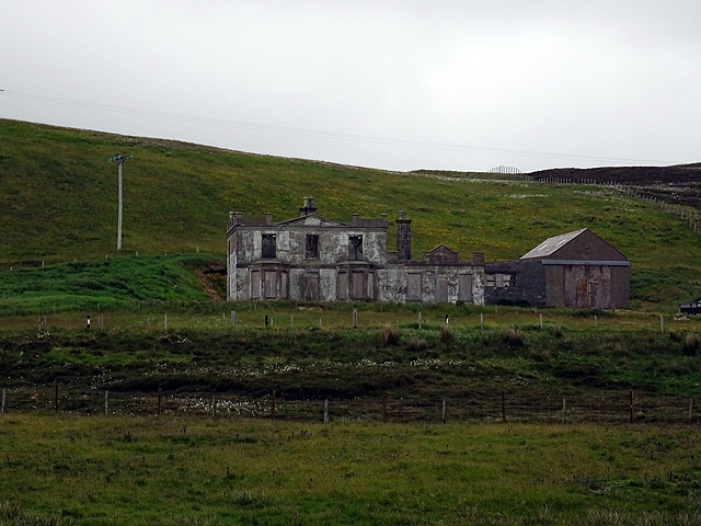
Park Hall, Shetland
Park Hall is a derelict laird's house situated west of the village of Bixter, in the parish of Sandsting on the Mainland of Shetland, Scotland. It has...
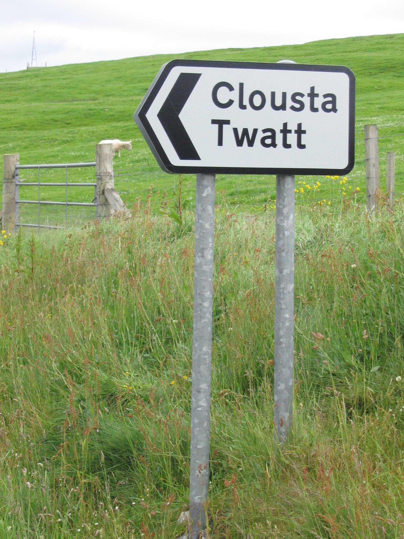
Twatt, Shetland
Twatt is a settlement in the Shetland Islands of Scotland. It is located on the Shetland Mainland on a minor road that leads from the A971 road to Clousta...
Bixter
Bixter is a village on the west side of the Shetland Islands, located more than 160 km (99 mi) off the north coast of mainland Scotland. Bixter is a group...

Stanydale
Stanydale is a hamlet on the island of Mainland, Shetland, Scotland. The archaeological site of Stanydale Temple is less than 0.5 miles (0.80 km) to...

West Mainland
The West Mainland of the Shetland Islands is the part of the Shetland Mainland lying west of Aith (1° 23′ W). == Geography == Points of interest include...

Stanydale Temple
Stanydale Temple is a Neolithic site on Mainland, Shetland, Scotland. It is located in a field to the south of the modern village of Stanydale, roughly...
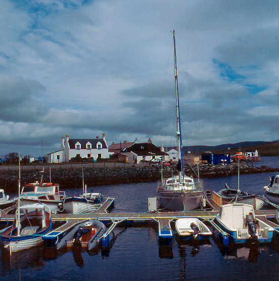
Aith
Aith, (Shetland dialect: Eid, Old Norse: Eið, meaning Isthmus, cf Eday), is a village on the Northern coast of the West Shetland Mainland, Scotland at...

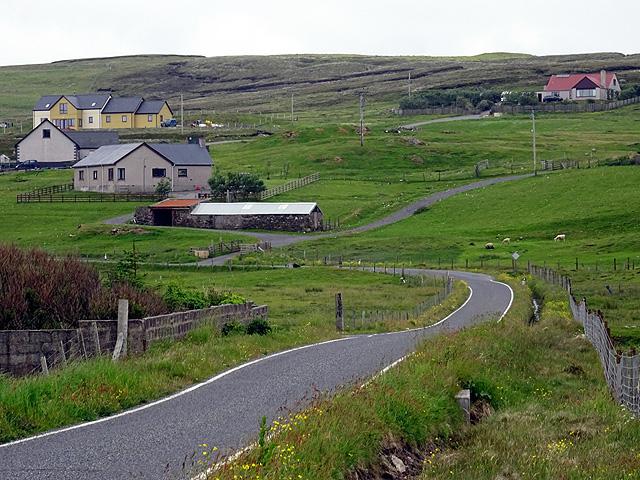
Clousta
Clousta is a hamlet on Mainaland, in the island's west, Shetland, Scotland. Approximately seventy people live here, many of whom are commuters, but local...
Related Videos


Last to leave the park wins!
Make sure you like the video and subscribe to Oliveamazing, tango the dog, snowy the cat and olive shorts that would mean the ...
Nearby Amenities
Located within 500m of 60.258569,-1.4377304Have you been to Ara Clett?
Leave your review of Ara Clett below (or comments, questions and feedback).