Effirth
Settlement in Shetland
Scotland
Effirth
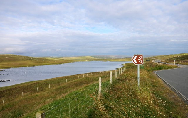
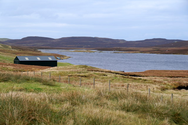
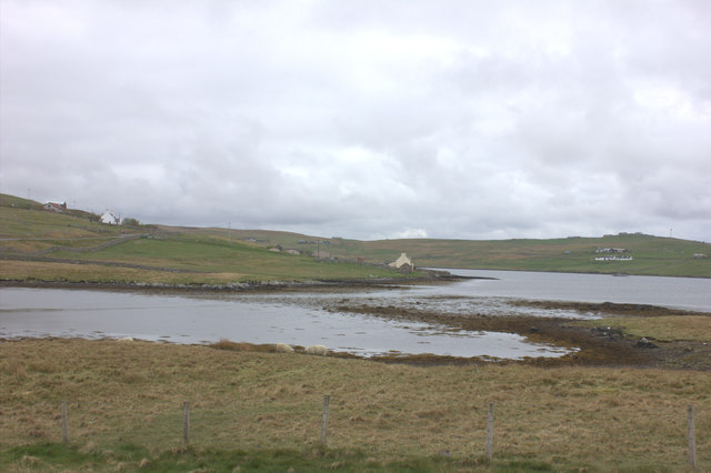
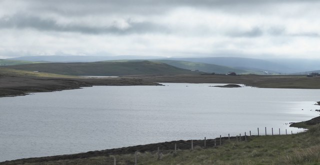
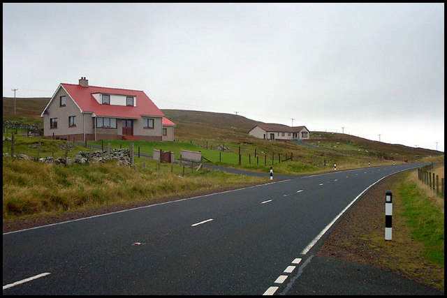
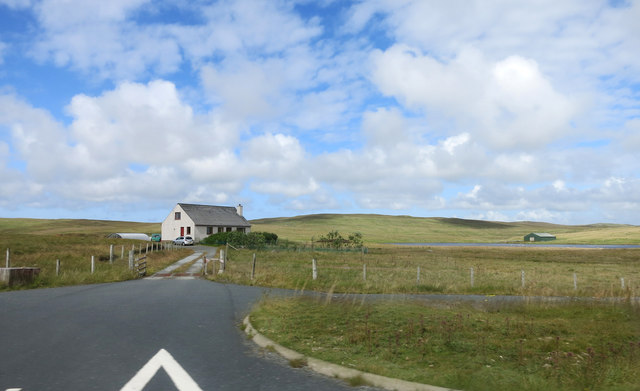
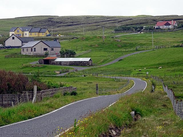
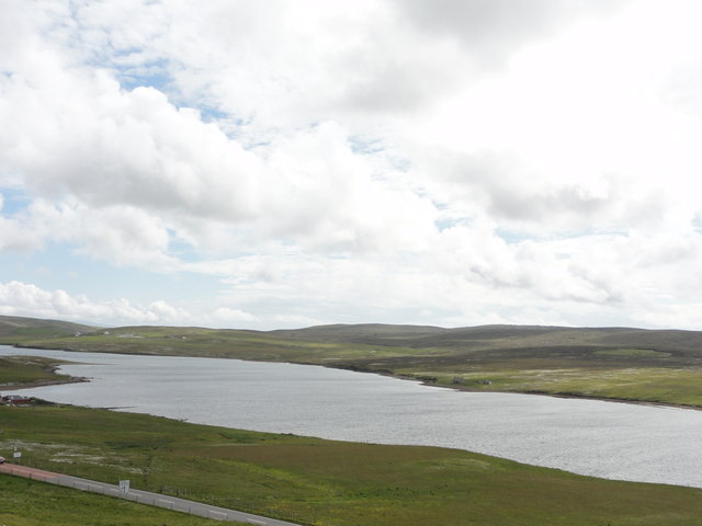
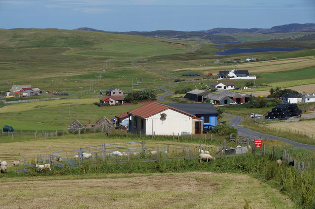
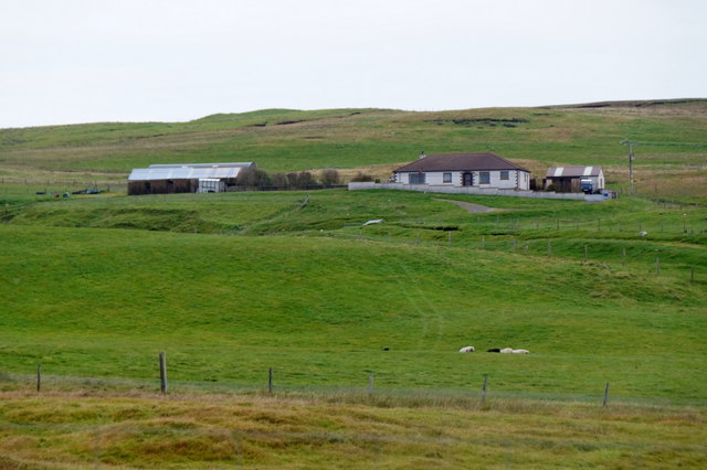
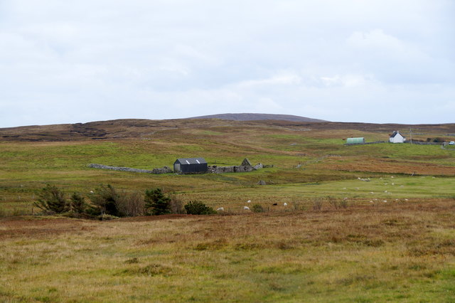
Effirth is a small coastal settlement located on the island of Shetland, Scotland. Situated on the eastern coast of Shetland Mainland, Effirth is nestled between the larger towns of Lerwick and Scalloway. The village is surrounded by picturesque landscapes, featuring rolling hills and stunning sea views.
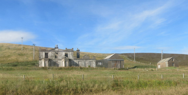
Despite its small size, Effirth has a rich history dating back centuries. It was once a thriving fishing community, with many residents relying on the sea for their livelihoods. Today, the village retains its connection to the ocean, with some residents still engaged in fishing and other maritime activities.
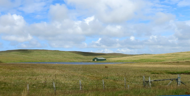
Effirth is also known for its tranquil atmosphere, making it a popular destination for those seeking a peaceful retreat. The village offers a range of outdoor activities, such as hiking, birdwatching, and beachcombing. The nearby coastline is home to various species of seabirds, providing excellent opportunities for bird enthusiasts.
In terms of amenities, Effirth has limited facilities, with a few local shops and a community center serving as the focal points of the village. However, it benefits from its close proximity to Lerwick and Scalloway, where residents can access a wider range of services, including schools, healthcare, and shopping options.
Overall, Effirth is a charming coastal settlement that offers a glimpse into Shetland's rural beauty and maritime heritage. With its peaceful surroundings and connection to nature, the village provides a tranquil escape for both locals and visitors alike.
If you have any feedback on the listing, please let us know in the comments section below.
Effirth Images
Images are sourced within 2km of 60.251175/-1.433194 or Grid Reference HU3152. Thanks to Geograph Open Source API. All images are credited.


Effirth is located at Grid Ref: HU3152 (Lat: 60.251175, Lng: -1.433194)
Unitary Authority: Shetland Islands
Police Authority: Highlands and Islands
What 3 Words
///mailboxes.research.logbook. Near Aith, Shetland Islands
Nearby Locations
Related Wikis

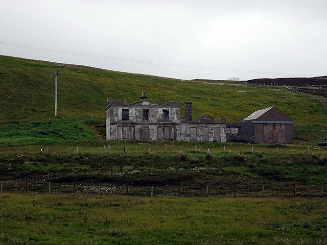
Park Hall, Shetland
Park Hall is a derelict laird's house situated west of the village of Bixter, in the parish of Sandsting on the Mainland of Shetland, Scotland. It has...
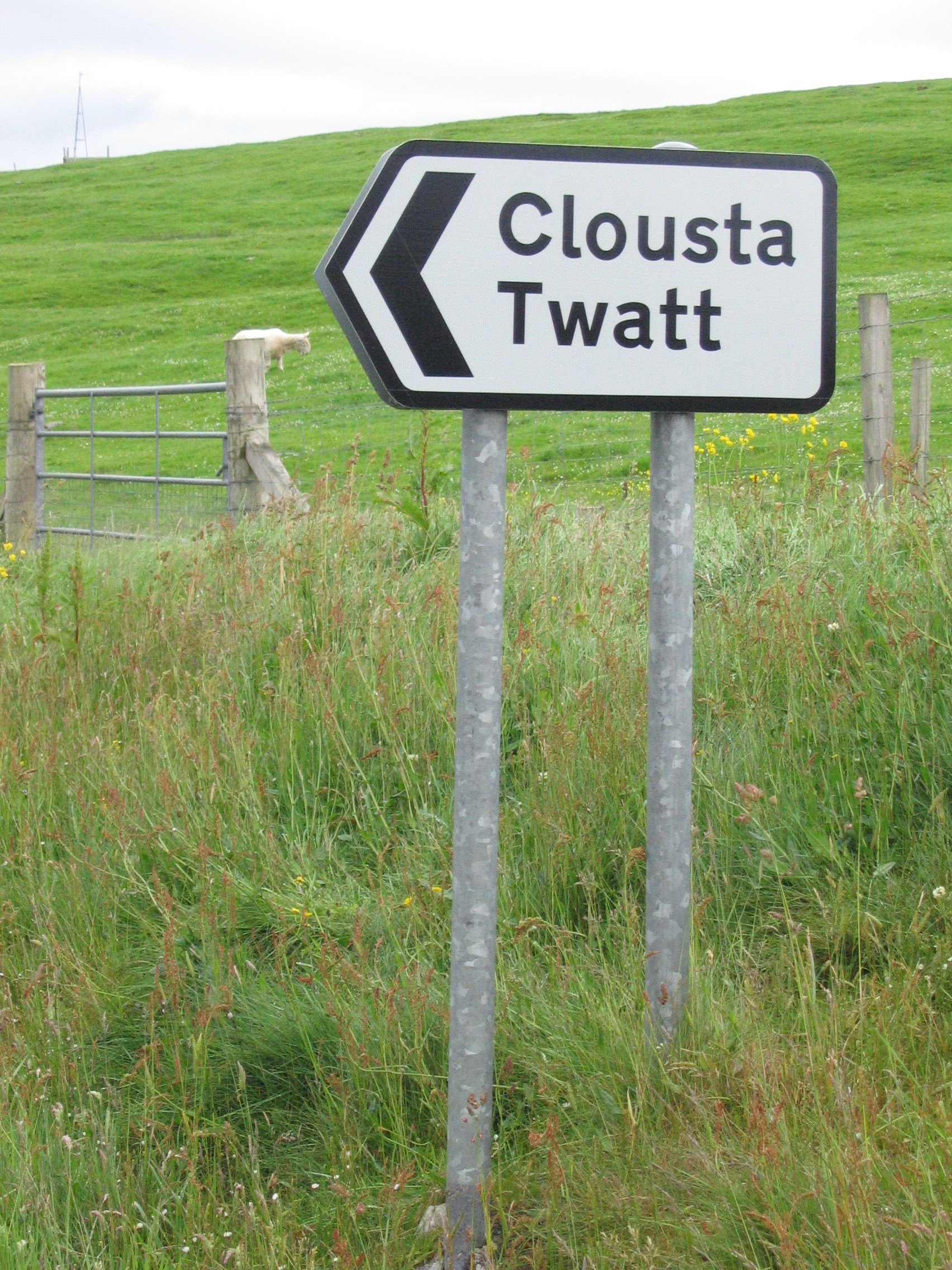
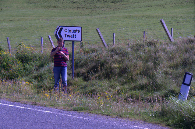
Twatt, Shetland
Twatt is a settlement in the Shetland Islands of Scotland. It is located on the Shetland Mainland on a minor road that leads from the A971 road to Clousta...
Bixter
Bixter is a village on the west side of the Shetland Islands, located more than 160 km (99 mi) off the north coast of mainland Scotland. Bixter is a group...

Stanydale
Stanydale is a hamlet on the island of Mainland, Shetland, Scotland. The archaeological site of Stanydale Temple is less than 0.5 miles (0.80 km) to...

Stanydale Temple
Stanydale Temple is a Neolithic site on Mainland, Shetland, Scotland. It is located in a field to the south of the modern village of Stanydale, roughly...

West Mainland
The West Mainland of the Shetland Islands is the part of the Shetland Mainland lying west of Aith (1° 23′ W). == Geography == Points of interest include...

Westerfield, Shetland
Westerfield is a coastal community on Mainland, in Shetland, Scotland. The community is within the parish of Sandsting.It lies to the west of Tresta on...

Sandsting
Sandsting is a parish in the West Mainland of Shetland, Scotland, forming a southern arm of the Walls Peninsula. After the parish of Aithsting was annexed...
Nearby Amenities
Located within 500m of 60.251175,-1.433194Have you been to Effirth?
Leave your review of Effirth below (or comments, questions and feedback).