Effingham Park

Settlement in Surrey / Sussex Tandridge

England

Effingham Park

Turf Farming Perry Farm is flat and ideal for producing turves.
Turf Farming Credit: Nigel Freeman

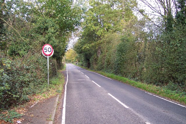
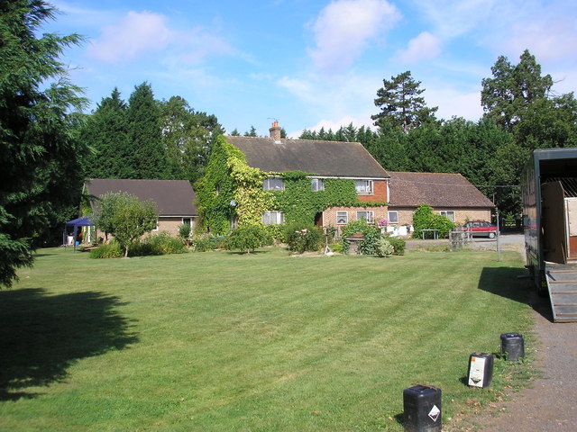
Effingham Park is a picturesque area located on the border of Surrey and Sussex in England. Nestled amidst the rolling countryside, this park offers a serene and tranquil environment for visitors to enjoy.

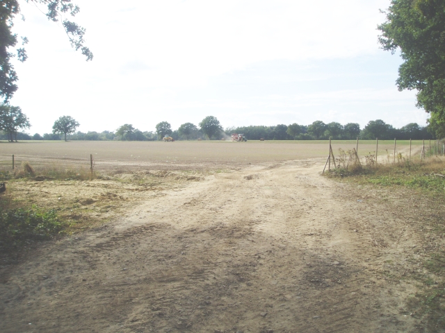
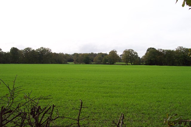
The park spans over a vast area and is known for its lush green landscapes, scenic walking trails, and stunning views. It is a popular destination for nature lovers, hikers, and those looking to escape the hustle and bustle of city life.

Effingham Park is home to a diverse range of flora and fauna, making it a haven for wildlife enthusiasts. Visitors can spot a variety of birds, butterflies, and small mammals as they explore the park's numerous trails and pathways.

In addition to its natural beauty, Effingham Park also boasts a number of recreational facilities. There are well-maintained picnic areas where families can enjoy outdoor meals, as well as playgrounds for children to play. The park also offers sports fields, perfect for a game of football or cricket.

For those seeking a more leisurely experience, Effingham Park has a charming café where visitors can relax and indulge in refreshments while soaking in the scenic surroundings.

Overall, Effingham Park is a hidden gem in Surrey/Sussex, offering a blend of natural beauty, recreational activities, and a peaceful atmosphere. It is a delightful destination for individuals of all ages to unwind and connect with nature.

If you have any feedback on the listing, please let us know in the comments section below.

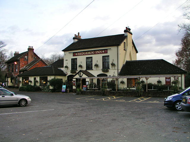
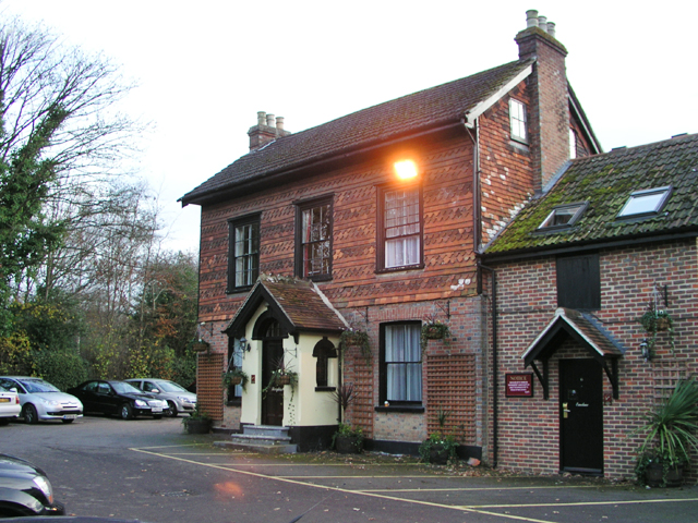
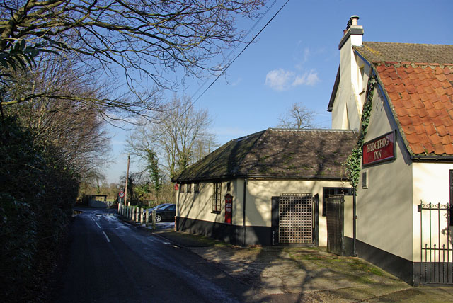
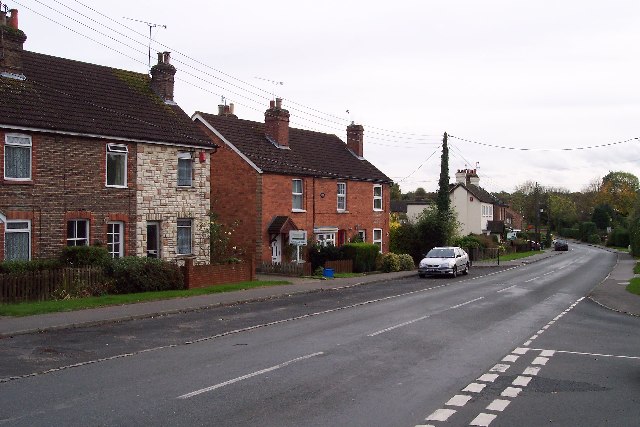
Effingham Park Images

Images are sourced within 2km of 51.134836/-0.1004383 or Grid Reference TQ3339. Thanks to Geograph Open Source API. All images are credited.

Turf Farming Perry Farm is flat and ideal for producing turves.
Turf Farming
Perry Farm is flat and ideal for producing turves.
Road in a rural area Taken from TQ322400 looking almost north shows the smaller of two roads in the square, which is very rural.
Road in a rural area
Taken from TQ322400 looking almost north shows the smaller of two roads in the square, which is very rural.
A very rural square Taken from the b.o.a.t. at TQ327405 looking west. A very rural square.
A very rural square
Taken from the b.o.a.t. at TQ327405 looking west. A very rural square.
Sheridan Farm, West Park Road, Surrey Sheridan Farm lies just south of the B2028 near Domewood.  The breeding and rearing of racehorses is an important activity here.
Sheridan Farm, West Park Road, Surrey
Sheridan Farm lies just south of the B2028 near Domewood. The breeding and rearing of racehorses is an important activity here.
The Hedgehog Inn, Copthorne Formerly the Effingham Arms the Hedgehog is now a restaurant pub and has acquired the adjacent house (in the left of shot) to provide guest rooms. In a sense it's assumed the function of the old-fashioned inn. The exterior has hardly changed since the 1950s <span class="nowrap"><a title="http://www.francisfrith.com/search/england/west+sussex/copthorne/photos/copthorne_C422005.htm" rel="nofollow ugc noopener" href="http://www.francisfrith.com/search/england/west+sussex/copthorne/photos/copthorne_C422005.htm">Link</a><img style="margin-left:2px;" alt="External link" title="External link - shift click to open in new window" src="https://s1.geograph.org.uk/img/external.png" width="10" height="10"/></span>.

It's the occasional meeting place for local members of the Guinea Pig Club <span class="nowrap"><a title="http://en.wikipedia.org/wiki/Guinea_Pig_Club" rel="nofollow ugc noopener" href="http://en.wikipedia.org/wiki/Guinea_Pig_Club">Link</a><img style="margin-left:2px;" alt="External link" title="External link - shift click to open in new window" src="https://s1.geograph.org.uk/img/external.png" width="10" height="10"/></span> who will have witnessed the changes over the years.
The Hedgehog Inn, Copthorne
Formerly the Effingham Arms the Hedgehog is now a restaurant pub and has acquired the adjacent house (in the left of shot) to provide guest rooms. In a sense it's assumed the function of the old-fashioned inn. The exterior has hardly changed since the 1950s LinkExternal link. It's the occasional meeting place for local members of the Guinea Pig Club LinkExternal link who will have witnessed the changes over the years.
Accommodation for the Hedgehog House converted into guest rooms to provide accommodation for <a href="https://www.geograph.org.uk/photo/620618">TQ3340 : The Hedgehog Inn, Copthorne</a>. The structure built on to the right of the house looks new but may simply have been repointed as it appears on a photograph from the 1950s <span class="nowrap"><a title="http://www.francisfrith.com/search/england/west+sussex/copthorne/photos/copthorne_C422005.htm" rel="nofollow ugc noopener" href="http://www.francisfrith.com/search/england/west+sussex/copthorne/photos/copthorne_C422005.htm">Link</a><img style="margin-left:2px;" alt="External link" title="External link - shift click to open in new window" src="https://s1.geograph.org.uk/img/external.png" width="10" height="10"/></span>.
Accommodation for the Hedgehog
House converted into guest rooms to provide accommodation for TQ3340 : The Hedgehog Inn, Copthorne. The structure built on to the right of the house looks new but may simply have been repointed as it appears on a photograph from the 1950s LinkExternal link.
Garden Centre at Snowhill Some large gold fish in the pond.
Garden Centre at Snowhill
Some large gold fish in the pond.
Haskins Garden Centre at Snowhill
Entrance to Haskins garden centre Always busy as shown by the queue to get in at a quarter past three on a Sunday afternoon! The big black barn functions as a restaurant for shoppers. There is also a Hobbycraft tucked away behind the restaurant.
Entrance to Haskins garden centre
Always busy as shown by the queue to get in at a quarter past three on a Sunday afternoon! The big black barn functions as a restaurant for shoppers. There is also a Hobbycraft tucked away behind the restaurant.
New road layout ahead The sign on B2037 Effingham Road refers to the substitution of a roundabout for the staggered crossroads with the B2028. This is the third layout here - it started as a normal crossroads.
New road layout ahead
The sign on B2037 Effingham Road refers to the substitution of a roundabout for the staggered crossroads with the B2028. This is the third layout here - it started as a normal crossroads.
The Old House restaurant "A 16th century licensed restaurant" - this probably refers to part of the building closer to Effingham Road.
The Old House restaurant
"A 16th century licensed restaurant" - this probably refers to part of the building closer to Effingham Road.
Hedgehog Inn - round the corner The inn is on the corner of  Effingham Road and Effingham Lane - the view is from the latter.
Hedgehog Inn - round the corner
The inn is on the corner of Effingham Road and Effingham Lane - the view is from the latter.
The entrance to Copthorne Business Park
Dowlands Lane, Copthorne
Haskins Snowhill Garden Centre
East Park Lane, Copthorne
Effingham Road, Copthorne
Show me another place!

Effingham Park is located at Grid Ref: TQ3339 (Lat: 51.134836, Lng: -0.1004383)

Administrative County: Surrey

District: Tandridge

Police Authority: Surrey

What 3 Words

///beams.landed.privately. Near Copthorne, West Sussex

Nearby Locations

Effingham Park

Related Wikis

Copthorne, West Sussex

Copthorne is a village in the Mid Sussex district of West Sussex, England. It lies close to Gatwick Airport, 25.5 miles (41 km) south of London, 21.5 miles...

Crawley Down Monastery

The Monastery of the Holy Trinity, Crawley Down is an Anglican monastery located at Crawley Down in West Sussex, England. The monastery belongs to the...

Crawley Down Gatwick F.C.

Crawley Down Gatwick Football Club is a football club based in Crawley Down, West Sussex, England. They are currently members of the Southern Combination...

Crawley Down

Crawley Down is a village in the Mid Sussex district of West Sussex, England. There is one church, one school, and a number of social groups. It lies...

Grange Road railway station

Grange Road was a railway station on the Three Bridges to Tunbridge Wells Central Line. The station opened in 1860 and was rebuilt on an enlarged scale...

Rowfant railway station

Rowfant was a railway station on the Three Bridges to Tunbridge Wells Central Line in the parish of Worth, West Sussex. The line closed in 1967, a casualty...

Worth Way

The Worth Way is a 7-mile (11 km) footpath and bridleway linking the West Sussex towns of Crawley and East Grinstead via the village of Crawley Down. Mostly...

A264 road

The A264 is an east–west road in southern England that runs from Pembury in west Kent to Five Oaks in West Sussex. == History == There have been a number...

Nearby Amenities

Located within 500m of 51.134836,-0.1004383
Copthorne Common
Created By: Potlatch 0.10f
Leisure: common
Source: npe
Lat/Long: 51.134668/-0.1056986
Addr Housenumber: 37
Addr Postcode: RH10 3RR
Addr Street: Lashmere
Building: house
Postal Code: RH10 3RR
Lat/Long: 51.1386454/-0.1034482
Addr Housenumber: 35
Lat/Long: 51.1386616/-0.1035452
Addr Housenumber: 39
Lat/Long: 51.13864/-0.1033563
Bus Stop
Abergavenny Gardens
Bench: no
Bin: no
Bus: yes
Naptan AtcoCode: 4400EG0228
Naptan Bearing: W
Naptan CommonName: Abergavenny Gardens
Naptan Indicator: adj Sussex Border Path
Naptan Landmark: Abergavenny PH
Naptan NaptanCode: wsxapdmp
Naptan Street: A264 Copthorne Common Road
Naptan Verified: yes
Public Transport: platform
Shelter: no
Source: naptan_import
Lat/Long: 51.137063/-0.1031735
Bus Stop
Abergavenny Gardens
Bus: yes
Naptan AtcoCode: 4400EG0229
Naptan Bearing: E
Naptan CommonName: Abergavenny Gardens
Naptan Indicator: adj Pemble Green Road
Naptan Landmark: Abergavenny PH
Naptan NaptanCode: wsxapdmt
Naptan Street: A264 Copthorne Common Road
Naptan Verified: no
Public Transport: platform
Shelter: no
Source: naptan_import
Lat/Long: 51.1370177/-0.1014506
Bus Stop
Cottage Place
Alt Name: Post Office
Bus: yes
Naptan AltCommonName: Post Office
Naptan AltIndicator: adj
Naptan AltLandmark: Cottage Place
Naptan AltStreet: A264
Naptan AtcoCode: 4400EG0230
Naptan Bearing: W
Naptan CommonName: Cottage Place
Naptan Indicator: adj
Naptan Landmark: Cottage Place
Naptan NaptanCode: wsxapdmw
Naptan Street: A264
Naptan Verified: yes
Public Transport: platform
Source: naptan_import
Lat/Long: 51.1365177/-0.0977489
Bus Stop
Cottage Place
Alt Name: Post Office
Bus: yes
Naptan AltCommonName: Post Office
Naptan AltIndicator: opposite Esso Petrol Station
Naptan AltLandmark: Cottage Place
Naptan AltStreet: A264
Naptan AtcoCode: 4400EG0231
Naptan Bearing: E
Naptan CommonName: Cottage Place
Naptan Indicator: opposite Esso Petrol Station
Naptan Landmark: Cottage Place
Naptan NaptanCode: wsxapdpa
Naptan Street: A264
Naptan Verified: no
Public Transport: platform
Source: naptan_import
Lat/Long: 51.1365413/-0.0971821
Bus Stop
Dukes Head
Bus: yes
Naptan AtcoCode: 4400EG0232
Naptan Bearing: W
Naptan CommonName: The Duke's Head
Naptan Indicator: W-bound
Naptan Landmark: Dukes Head
Naptan NaptanCode: wsxapdpd
Naptan PlusbusZoneRef: CRAWLEY
Naptan Street: Copthorne Common Road
Naptan Verified: yes
Public Transport: platform
Source: naptan_import
Wheelchair: limited
Lat/Long: 51.1361022/-0.0943323
Leisure: playground
Lat/Long: 51.1390425/-0.0996067
Barrier: stile
Lat/Long: 51.1356292/-0.0967323
Barrier: stile
Lat/Long: 51.1361335/-0.0949794
Firs Farm
Place: farm
Lat/Long: 51.1356443/-0.093731
Crossing
Lat/Long: 51.1387125/-0.0990492
Golf: pin
Lat/Long: 51.1318293/-0.1050567
Fast Food
Greggs
Addr City: Crawley
Addr Housename: Euro Garages
Addr Postcode: RH10 3LF
Addr Street: Copthorne Common Road
Brand: Greggs
Brand Wikidata: Q3403981
Brand Wikipedia: en:Greggs
Contact Website: https://www.greggs.co.uk/shop-finder?shop-code=3600
Cuisine: sandwich;bakery
Drive Through: no
Opening Hours: Mo-Fr 06:30-15:30; Sa 07:00-15:00; Su 08:00-15:00
Takeaway: only
Lat/Long: 51.136211/-0.0976196
The data included in this document is from www.openstreetmap.org. The data is made available under ODbL.

Have you been to Effingham Park?

Leave your review of Effingham Park below (or comments, questions and feedback).