Effirth Voe
Sea, Estuary, Creek in Shetland
Scotland
Effirth Voe
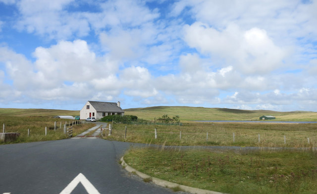
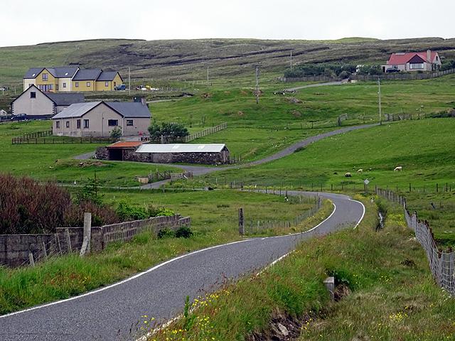
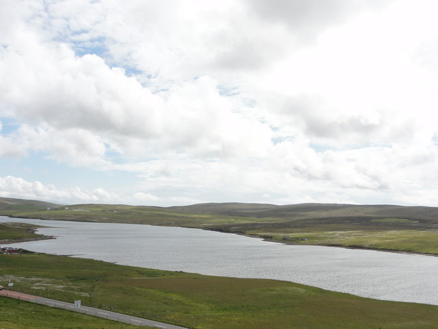
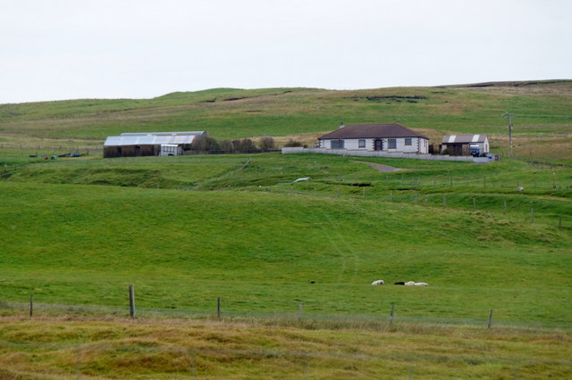
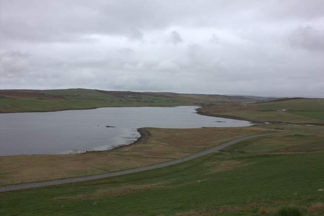
Effirth Voe is a picturesque sea inlet located in the Shetland Islands, Scotland. It is situated on the east coast of the mainland, about 12 miles north of Lerwick. With its stunning natural beauty and tranquil surroundings, Effirth Voe attracts visitors from near and far.
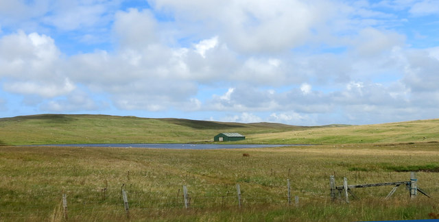
This sea estuary stretches for approximately 2 miles, with its mouth opening up to the North Sea. The waters of Effirth Voe are known for their calmness, making it an ideal location for various water activities such as fishing, boating, and kayaking. The area is also popular among birdwatchers, as it serves as a home to a wide range of bird species, including puffins, guillemots, and gannets.
The surrounding landscape of Effirth Voe is characterized by rolling hills and cliffs, providing breathtaking panoramic views. The coastline is dotted with small, sandy beaches, which add to the charm of this idyllic spot. Additionally, the area is rich in marine life, with seals often spotted basking on the rocks and otters frequently seen playing in the shallows.
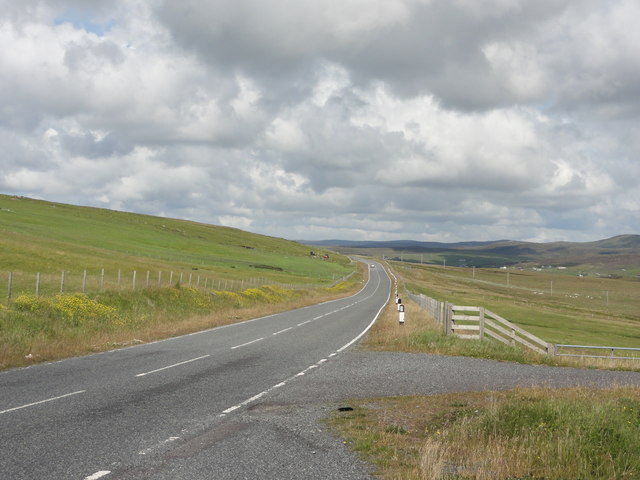
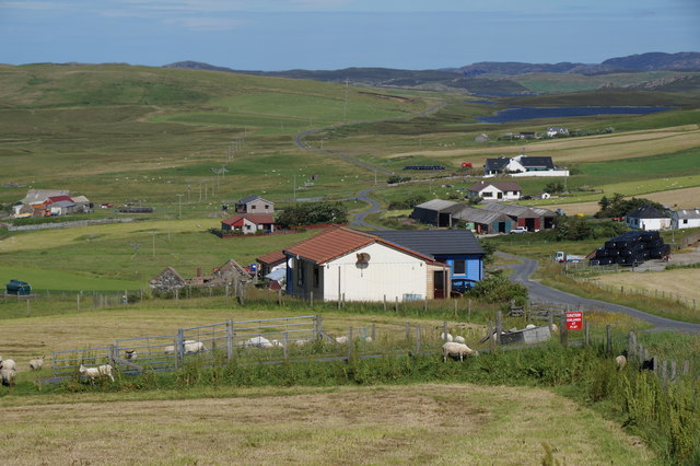
Effirth Voe is easily accessible by road, with a well-maintained coastal path that offers stunning views along the way. The nearby village of Voe provides amenities such as accommodations, restaurants, and shops, ensuring a comfortable stay for visitors.
Whether you are seeking a peaceful retreat or an opportunity to engage in outdoor activities, Effirth Voe in Shetland is a hidden gem that promises a memorable experience for nature enthusiasts and adventure seekers alike.
If you have any feedback on the listing, please let us know in the comments section below.
Effirth Voe Images
Images are sourced within 2km of 60.254238/-1.4243627 or Grid Reference HU3152. Thanks to Geograph Open Source API. All images are credited.


Effirth Voe is located at Grid Ref: HU3152 (Lat: 60.254238, Lng: -1.4243627)
Unitary Authority: Shetland Islands
Police Authority: Highlands and Islands
What 3 Words
///chucks.threaten.proposals. Near Aith, Shetland Islands
Nearby Locations
Related Wikis

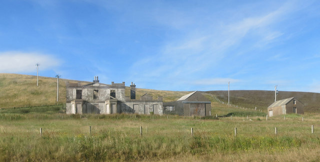
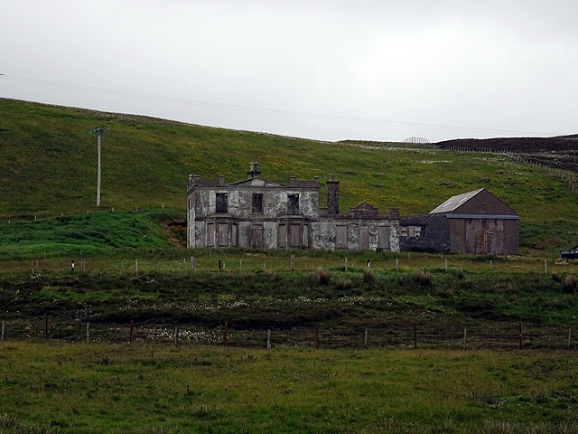
Park Hall, Shetland
Park Hall is a derelict laird's house situated west of the village of Bixter, in the parish of Sandsting on the Mainland of Shetland, Scotland. It has...
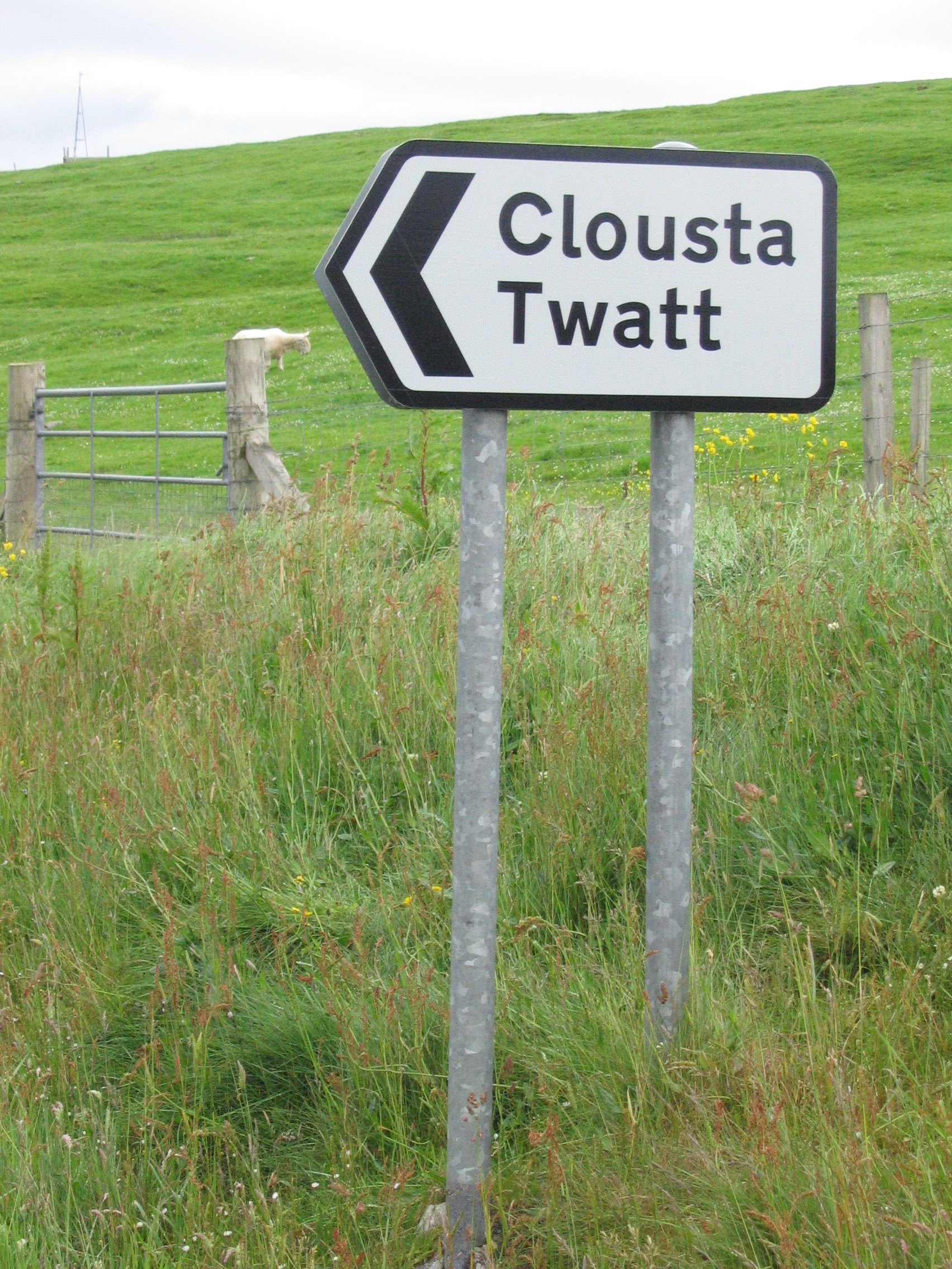
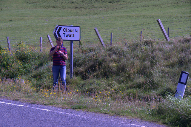
Twatt, Shetland
Twatt is a settlement in the Shetland Islands of Scotland. It is located on the Shetland Mainland on a minor road that leads from the A971 road to Clousta...
Bixter
Bixter is a village on the west side of the Shetland Islands, located more than 160 km (99 mi) off the north coast of mainland Scotland. Bixter is a group...

Stanydale
Stanydale is a hamlet on the island of Mainland, Shetland, Scotland. The archaeological site of Stanydale Temple is less than 0.5 miles (0.80 km) to...

Westerfield, Shetland
Westerfield is a coastal community on Mainland, in Shetland, Scotland. The community is within the parish of Sandsting.It lies to the west of Tresta on...

Stanydale Temple
Stanydale Temple is a Neolithic site on Mainland, Shetland, Scotland. It is located in a field to the south of the modern village of Stanydale, roughly...
Aith
Aith, (Shetland dialect: Eid, Old Norse: Eið, meaning Isthmus, cf Eday), is a village on the Northern coast of the West Shetland Mainland, Scotland at...

West Mainland
The West Mainland of the Shetland Islands is the part of the Shetland Mainland lying west of Aith (1° 23′ W). == Geography == Points of interest include...
Nearby Amenities
Located within 500m of 60.254238,-1.4243627Have you been to Effirth Voe?
Leave your review of Effirth Voe below (or comments, questions and feedback).