Rawn Hill

Hill, Mountain in Warwickshire North Warwickshire

England

Rawn Hill

Merevale Hall, Atherstone Viewed from a distance very dramatic and taking full advantage of its location. Built 1838 to the designs of Henry Clutton and Edward Blore for William Stratford Dugdale. His descendants still live here. Grade II* listed.
Merevale Hall, Atherstone Credit: Stephen Richards

Rawn Hill, located in Warwickshire, England, is a prominent hill that forms part of the picturesque landscape of the region. Situated in the heart of the Warwickshire countryside, the hill offers stunning panoramic views of the surrounding areas and is a popular destination for nature lovers and hikers alike.

Rising to a height of approximately 300 feet, Rawn Hill stands as a distinctive landmark in the Warwickshire countryside. It is characterized by its gently sloping sides, covered in lush greenery and dotted with patches of wildflowers during the summer months. The hill is composed primarily of limestone and is known for its rich biodiversity, hosting a variety of flora and fauna.

The summit of Rawn Hill provides visitors with breathtaking views of the surrounding countryside, including rolling hills, meandering rivers, and quaint villages nestled in the valleys below. On a clear day, it is even possible to catch a glimpse of the distant Cotswold Hills to the south.

The hill is accessible by footpaths and trails, making it a popular spot for outdoor enthusiasts. Hiking to the top of Rawn Hill provides a rewarding experience, with ample opportunities for birdwatching and wildlife spotting along the way.

Overall, Rawn Hill in Warwickshire offers a peaceful and scenic retreat for locals and tourists alike, showcasing the natural beauty of the English countryside. Whether it's for a leisurely stroll, a challenging hike, or simply enjoying the serenity of the landscape, Rawn Hill is a must-visit destination for those seeking to connect with nature in Warwickshire.

If you have any feedback on the listing, please let us know in the comments section below.

Rawn Hill Images

Images are sourced within 2km of 52.568118/-1.5409859 or Grid Reference SP3196. Thanks to Geograph Open Source API. All images are credited.

Merevale Hall, Atherstone Viewed from a distance very dramatic and taking full advantage of its location. Built 1838 to the designs of Henry Clutton and Edward Blore for William Stratford Dugdale. His descendants still live here. Grade II* listed.
Merevale Hall, Atherstone
Viewed from a distance very dramatic and taking full advantage of its location. Built 1838 to the designs of Henry Clutton and Edward Blore for William Stratford Dugdale. His descendants still live here. Grade II* listed.
A5 northbound at Holly Lane Roundabout
Gatehouse to Merevale Estate in Merevale Lane Gatehouse to the Merevale Estate in Merevale Lane near Atherstone. This building and the Church of Our Lady behind it were originally part of the Cistercian Merevale Abbey complex.
Gatehouse to Merevale Estate in Merevale Lane
Gatehouse to the Merevale Estate in Merevale Lane near Atherstone. This building and the Church of Our Lady behind it were originally part of the Cistercian Merevale Abbey complex.
Bee Hive Cottage This is a very old Cottage on the edge of Merevale estate.
Bee Hive Cottage
This is a very old Cottage on the edge of Merevale estate.
Beehive cottage Taken in the early 1950's
Beehive cottage
Taken in the early 1950's
Merevale Hall, Atherstone Merevale Hall, Atherstone, home of the Dugdale family.
Merevale Hall, Atherstone
Merevale Hall, Atherstone, home of the Dugdale family.
Atherstone Locks No 6, Coventry Canal, Warwickshire This is by Kings Head Bridge (No 44), seen here beyond the lock.
Atherstone Locks No 6, Coventry Canal, Warwickshire
This is by Kings Head Bridge (No 44), seen here beyond the lock.
Atherstone Locks No 6, Coventry Canal, Warwickshire There are eleven locks in the flight. This section of the Canal between Atherstone and Fazeley was built later (late 1780s) than the first section from Coventry, which only reached the top of the flight in 1771 before running out of money. The ground paddles here are fully raised to fill the lock for the boat waiting.
Atherstone Locks No 6, Coventry Canal, Warwickshire
There are eleven locks in the flight. This section of the Canal between Atherstone and Fazeley was built later (late 1780s) than the first section from Coventry, which only reached the top of the flight in 1771 before running out of money. The ground paddles here are fully raised to fill the lock for the boat waiting.
St Mary's Church, Sheepy Road The Church of England Parish Church. The large nave and aisles of 1849 were added to an Augustinian 14th-century octagonal tower and chancel, which was itself formerly an independent chapel, possibly of 12th-century origin. Tower and chancel of pink sandstone; nave and aisles of Hartshill granite rubble. Listed Grade II*.
St Mary's Church, Sheepy Road
The Church of England Parish Church. The large nave and aisles of 1849 were added to an Augustinian 14th-century octagonal tower and chancel, which was itself formerly an independent chapel, possibly of 12th-century origin. Tower and chancel of pink sandstone; nave and aisles of Hartshill granite rubble. Listed Grade II*.
Atherstone Leisure Centre The approach from Long Street. The centre offers swimming pools, fitness suites and a multi-function hall.
Atherstone Leisure Centre
The approach from Long Street. The centre offers swimming pools, fitness suites and a multi-function hall.
Atherstone Library Looking from a service road towards Long Street. Atherstone is the main library for the northern division of the county library service.
Atherstone Library
Looking from a service road towards Long Street. Atherstone is the main library for the northern division of the county library service.
Side of The Clock with CCTV camera. Looking east along Long Street, Atherstone Library on the left.
Side of The Clock with CCTV camera.
Looking east along Long Street, Atherstone Library on the left.
Atherstone Clinic Looking down a service road off Long Street, with the leisure centre beyond.
Atherstone Clinic
Looking down a service road off Long Street, with the leisure centre beyond.
Former printing works Some of the derelict commercial and manufacturing buildings north of Long Street.
Former printing works
Some of the derelict commercial and manufacturing buildings north of Long Street.
Derelict buildings north of Long Street Seen from Sheepy Road car park.
Derelict buildings north of Long Street
Seen from Sheepy Road car park.
Sheepy Road car park Free! St Mary's Parish Church beyond.
Sheepy Road car park
Free! St Mary's Parish Church beyond.
6201 Princess Elizabeth at Atherstone Station 6201 Princess Elizabeth stopping for water at Atherstone station en route from Chester to Euston.
6201 Princess Elizabeth at Atherstone Station
6201 Princess Elizabeth stopping for water at Atherstone station en route from Chester to Euston.
TNT (UK) Ltd Distribution Centre
Show me another place!

Rawn Hill is located at Grid Ref: SP3196 (Lat: 52.568118, Lng: -1.5409859)

Administrative County: Warwickshire

District: North Warwickshire

Police Authority: Warwickshire

What 3 Words

///longingly.bench.inches. Near Atherstone, Warwickshire

Related Wikis

Atherstone Rural District

Atherstone Rural District was located in the administrative county of Warwickshire, England, from 1894 to 1974. It was named after its main town and administrative...

Atherstone Priory

Atherstone Priory was a priory in Atherstone, Warwickshire, England. The first monastic site in Atherstone was an Augustinian friary founded in the centre...

Atherstone rail accident

The Atherstone rail accident happened near Atherstone railway station in the small hours of the morning of 16 November 1860, and killed 10 people. A special...

Mancetter

Mancetter is a village and civil parish in North Warwickshire, England at the crossing of Watling Street over the River Anker. The population had reduced...

The Queen Elizabeth Academy

The Queen Elizabeth Academy (formerly Queen Elizabeth School) is a mixed secondary school with academy status. It is located on Witherley Road, Atherstone...

North Warwickshire

North Warwickshire is a local government district with borough status in the ceremonial county of Warwickshire, West Midlands, England. The borough includes...

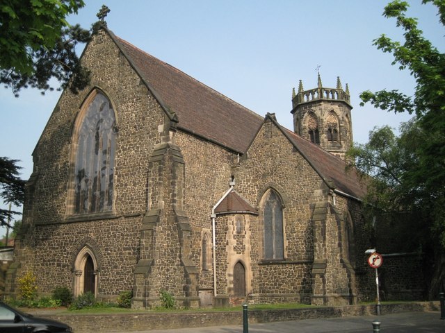
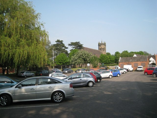
St Mary's Church, Atherstone

St. Mary's Church, Atherstone is a Grade II* listed parish church in Atherstone, Warwickshire, England.The stonework in the tower is in poor condition...
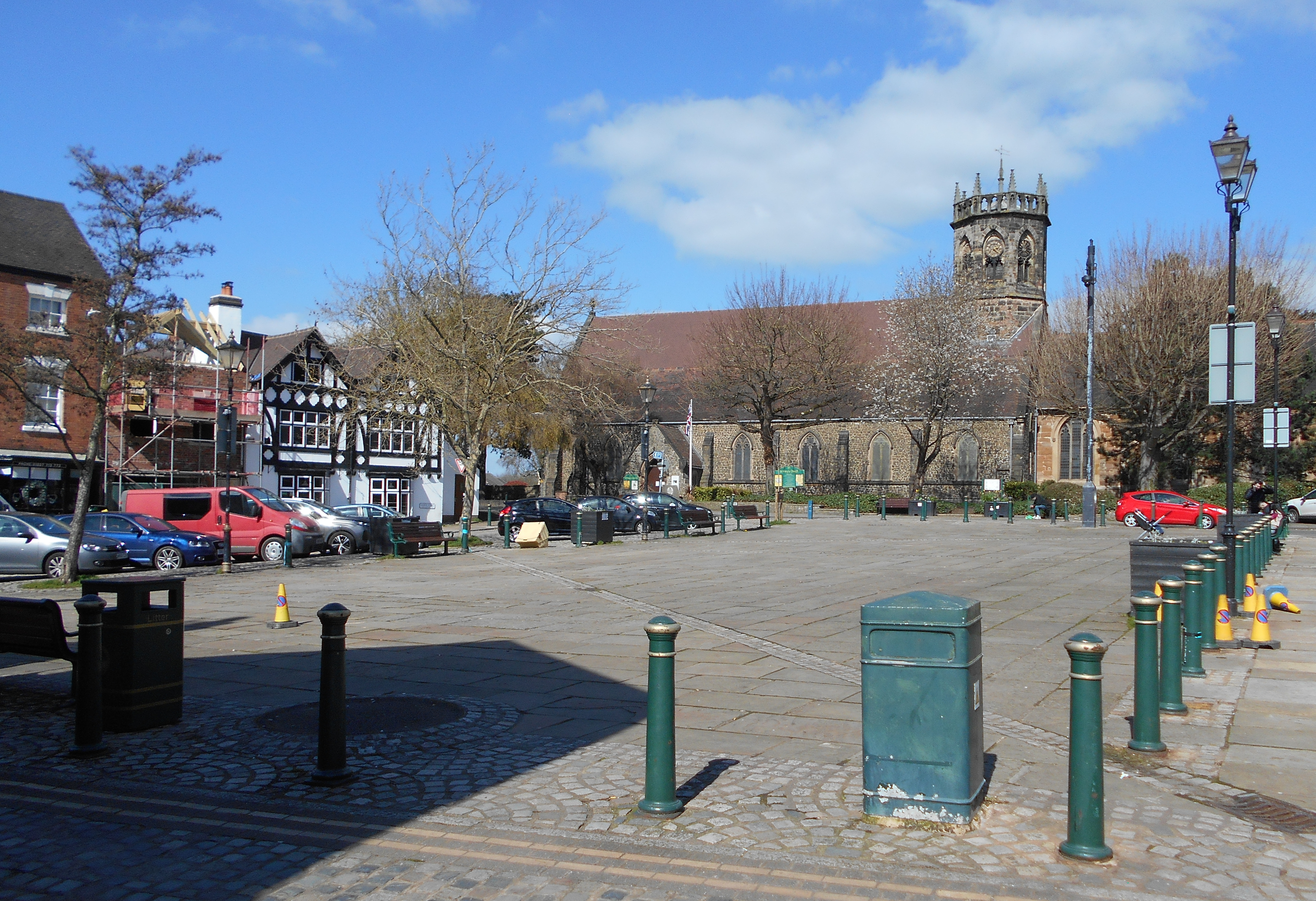
Atherstone

Atherstone is a market town and civil parish in the North Warwickshire district of Warwickshire, England. Located in the far north of the county, Atherstone...

Nearby Amenities

Located within 500m of 52.568118,-1.5409859
Bus Stop
Purley View
Bus: yes
Naptan AtcoCode: 4200F042000
Naptan Bearing: W
Naptan CommonName: Purley View
Naptan Crossing: Purley View
Naptan Indicator: Opp
Naptan NaptanCode: waratjmw
Naptan Street: Manor Road
Naptan Verified: no
Public Transport: platform
Source: naptan_import
Lat/Long: 52.5674387/-1.5341333
Source: Bing
Traffic Calming: cushion
Lat/Long: 52.5720217/-1.5445794
Post Box
Postal Code: CV9
Ref: CV9 31
Source: GPS Survey
Lat/Long: 52.5675868/-1.5344205
Barrier: kissing_gate
Source: survey
Lat/Long: 52.5684855/-1.5437911
Oakfield Veterinary Group
Lat/Long: 52.5725738/-1.541632
Barrier: kissing_gate
Source: survey
Lat/Long: 52.5664531/-1.5434042
Man Made: tower
Source: visual survey;bing
Tower Type: communication
Lat/Long: 52.5682798/-1.5451592
Source: Warwicks CC Aerial Imagery 2013
Traffic Calming: bump
Lat/Long: 52.5674488/-1.5345956
Source: Warwicks CC Aerial Imagery 2013
Traffic Calming: bump
Lat/Long: 52.5674985/-1.5357083
Generator Method: photovoltaic
Generator Output Electricity: yes
Generator Source: solar
Generator Type: solar_photovoltaic_panel
Location: roof
Power: generator
Lat/Long: 52.568359/-1.536651
Generator Method: photovoltaic
Generator Output Electricity: yes
Generator Source: solar
Generator Type: solar_photovoltaic_panel
Location: roof
Power: generator
Lat/Long: 52.5710016/-1.5415983
Generator Method: photovoltaic
Generator Output Electricity: yes
Generator Source: solar
Generator Type: solar_photovoltaic_panel
Location: roof
Power: generator
Lat/Long: 52.5717425/-1.5369554
Generator Method: photovoltaic
Generator Output Electricity: yes
Generator Source: solar
Generator Type: solar_photovoltaic_panel
Location: roof
Power: generator
Lat/Long: 52.5713643/-1.5375052
Generator Method: photovoltaic
Generator Output Electricity: yes
Generator Source: solar
Generator Type: solar_photovoltaic_panel
Location: roof
Power: generator
Lat/Long: 52.5717637/-1.5388517
Generator Method: photovoltaic
Generator Output Electricity: yes
Generator Source: solar
Generator Type: solar_photovoltaic_panel
Location: roof
Power: generator
Lat/Long: 52.5719064/-1.5401633
The data included in this document is from www.openstreetmap.org. The data is made available under ODbL.

Have you been to Rawn Hill?

Leave your review of Rawn Hill below (or comments, questions and feedback).