Bunkers Hill
Hill, Mountain in Yorkshire Harrogate
England
Bunkers Hill
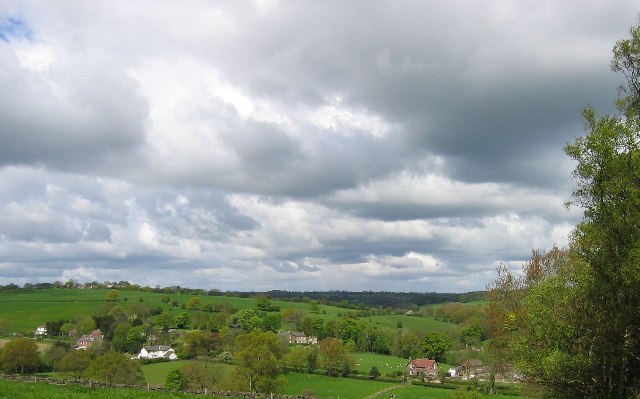
Bunkers Hill is a prominent hill located in the county of Yorkshire, England. Situated near the village of Selby, it stands at an elevation of approximately 73 meters (240 feet) above sea level. The hill is characterized by its gently sloping terrain and is known for offering panoramic views of the surrounding countryside.
This natural landmark has been a significant feature of the landscape for centuries and holds historical importance. Bunkers Hill is believed to have derived its name from the Old English word "buncer," meaning a heap or mound. It is possible that the hill was formed as a result of glacial activity during the last ice age.
Covered in lush grass and scattered with a few trees, Bunkers Hill provides a picturesque setting for outdoor enthusiasts. It is a popular destination for walkers, hikers, and nature lovers, offering various trails and paths to explore. The hill's gentle gradient also makes it ideal for leisurely strolls and family picnics.
Bunkers Hill is home to a diverse range of flora and fauna, including wildflowers, butterflies, and birds. The area surrounding the hill is predominantly agricultural, with fields and farmland stretching out in all directions.
Due to its close proximity to Selby, Bunkers Hill is easily accessible and attracts visitors from both the local area and beyond. Its tranquil ambiance and stunning vistas make it a favored spot for relaxation and escapism from the hustle and bustle of everyday life. Whether it's for a peaceful walk, a breath of fresh air, or to admire the panoramic views, Bunkers Hill offers a serene haven in the heart of Yorkshire.
If you have any feedback on the listing, please let us know in the comments section below.
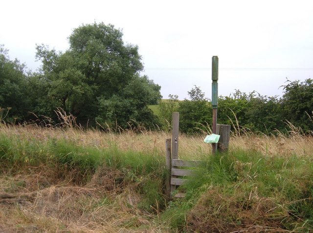
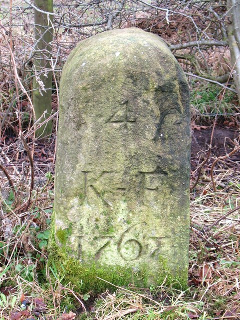
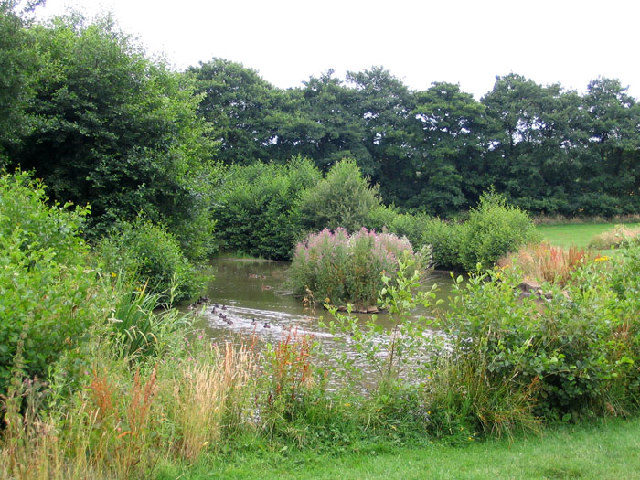
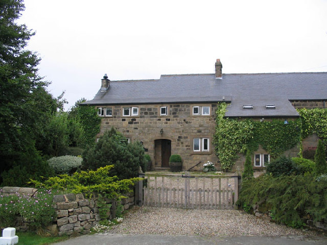
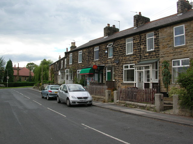
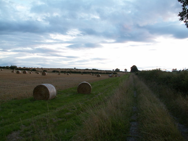
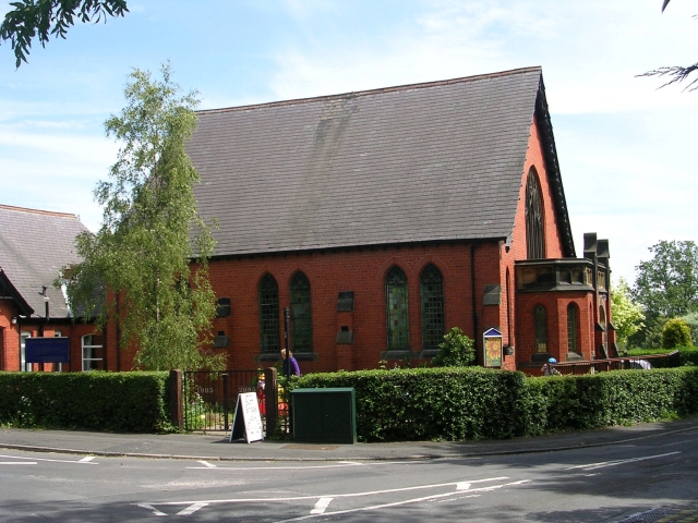
Bunkers Hill Images
Images are sourced within 2km of 53.954398/-1.5437207 or Grid Reference SE3051. Thanks to Geograph Open Source API. All images are credited.


Bunkers Hill is located at Grid Ref: SE3051 (Lat: 53.954398, Lng: -1.5437207)
Division: West Riding
Administrative County: North Yorkshire
District: Harrogate
Police Authority: North Yorkshire
What 3 Words
///comply.sobered.shock. Near Pannal, North Yorkshire
Nearby Locations
Related Wikis
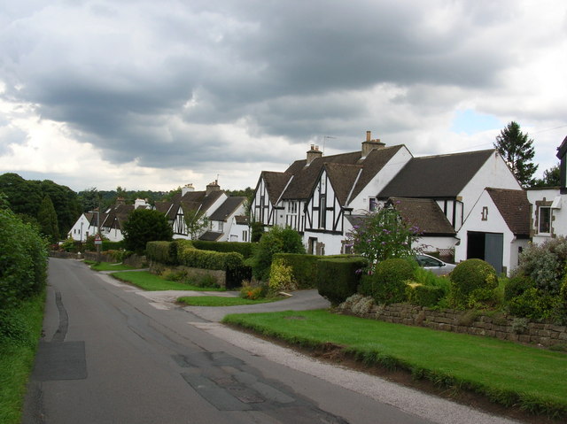
Burn Bridge
Burn Bridge is a village in the borough of Harrogate in North Yorkshire, England. It is 2.5 miles (4.0 km) south of the town of Harrogate, and forms part...

St Robert's Church, Pannal
St Robert's Church, Pannal, North Yorkshire, England, also known as St Robert of Knaresborough Parish Church, is a Grade II* listed building. A 13th-century...
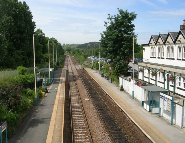
Pannal railway station
Pannal railway station serves the villages of Pannal and Spacey Houses in the southern suburbs of Harrogate, North Yorkshire, England, equidistant from...

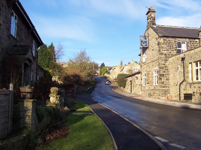
Pannal
Pannal is a village in the Harrogate district of North Yorkshire, England. Historically part of the West Riding of Yorkshire, it is situated to the immediate...
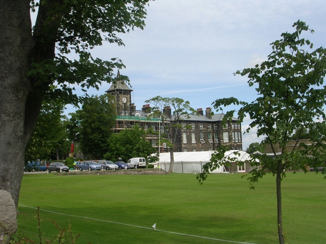
New College, Harrogate
New College, Harrogate was an independent preparatory school in Harrogate, Yorkshire which amalgamated with Ashville College in 1930. New College was founded...
Ashville College
Ashville College is a co-educational independent school for both day and boarding pupils aged 2–18 in Harrogate, North Yorkshire, England. It was founded...
Rossett School
Rossett School is a co-educational secondary school with academy status in Harrogate, North Yorkshire, England. Its pupils are from Harrogate, neighbouring...
North Rigton
North Rigton is a village and civil parish in the Harrogate district of North Yorkshire, England. It is 2 miles (3 km) south of Harrogate. The population...
Nearby Amenities
Located within 500m of 53.954398,-1.5437207Have you been to Bunkers Hill?
Leave your review of Bunkers Hill below (or comments, questions and feedback).