Burn Bridge
Settlement in Yorkshire Harrogate
England
Burn Bridge
Burn Bridge is a small village located in the district of Harrogate, within the county of Yorkshire, England. Situated approximately six miles north of Harrogate town center, it is nestled in the scenic countryside, surrounded by lush green fields and rolling hills. The village is part of the civil parish of Pannal, along with its neighboring communities.
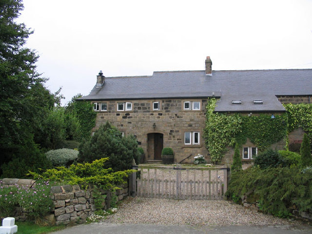
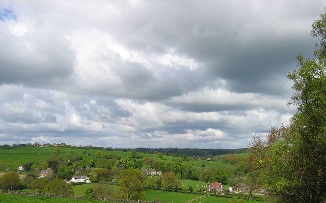
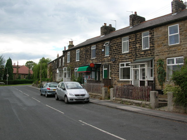
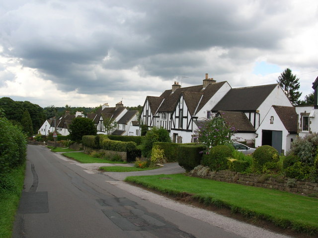
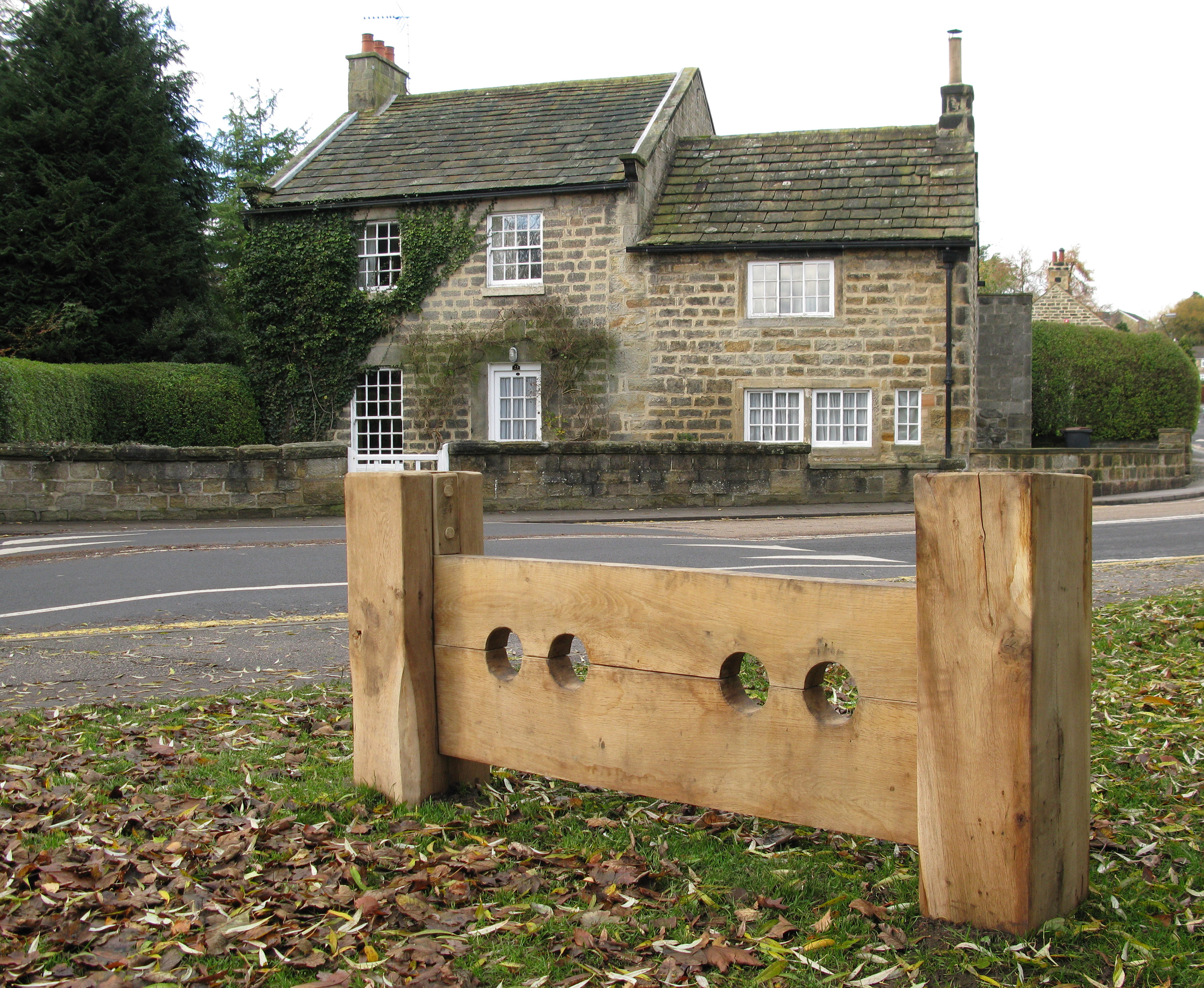
Burn Bridge is known for its charming and picturesque setting, with a tranquil atmosphere that attracts both residents and visitors seeking a peaceful retreat. The village is characterized by its quaint stone-built houses, many of which date back to the 18th and 19th centuries, giving it a distinct historical charm.
The village is well-connected, with good transportation links to the nearby towns and cities. The A61 road passes through Burn Bridge, providing easy access to Harrogate and Leeds. Additionally, the village has a train station, Pannal, which offers regular services to various destinations, including Leeds and York.
Despite its small size, Burn Bridge offers a few amenities for its residents. There is a local pub, The Squinting Cat, which provides a friendly and welcoming atmosphere for both locals and visitors. Additionally, the village has a primary school, Burn Bridge Primary School, ensuring educational facilities for the local children.
For those seeking outdoor activities, Burn Bridge is surrounded by beautiful countryside, offering opportunities for scenic walks and cycling routes. The village is also in close proximity to the Nidderdale Area of Outstanding Natural Beauty, where visitors can explore stunning landscapes and enjoy outdoor pursuits such as hiking and birdwatching.
Overall, Burn Bridge is a charming and peaceful village in the heart of Yorkshire, offering a quintessentially English countryside experience.
If you have any feedback on the listing, please let us know in the comments section below.
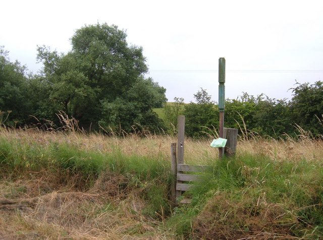
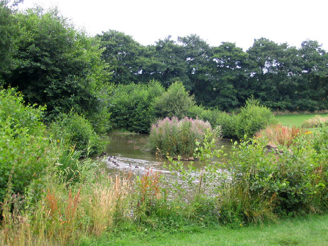
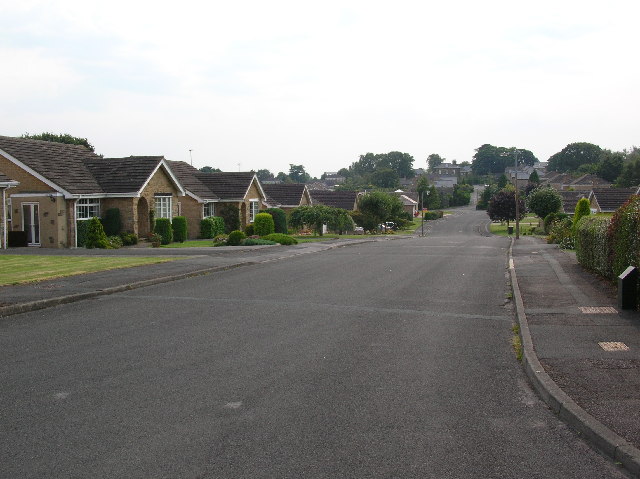
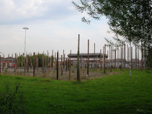
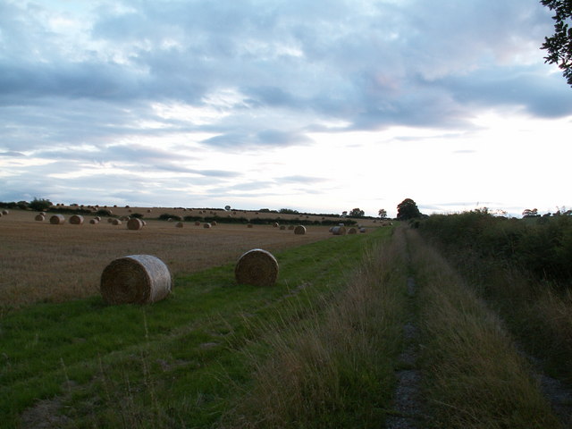
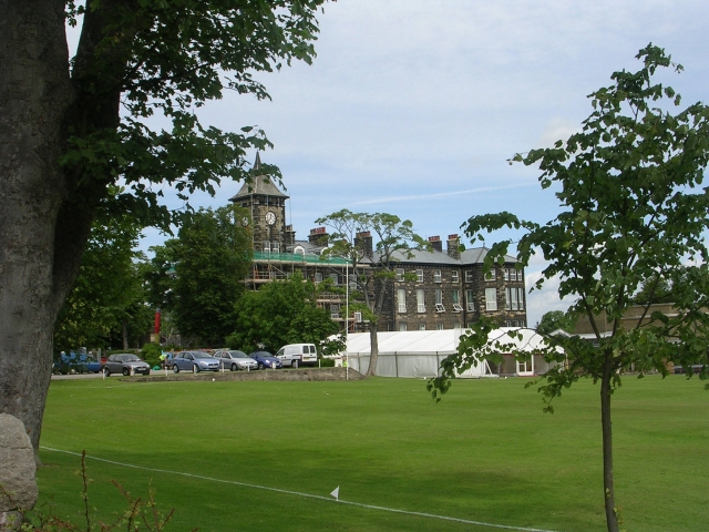
Burn Bridge Images
Images are sourced within 2km of 53.959616/-1.54259 or Grid Reference SE3051. Thanks to Geograph Open Source API. All images are credited.


Burn Bridge is located at Grid Ref: SE3051 (Lat: 53.959616, Lng: -1.54259)
Division: West Riding
Administrative County: North Yorkshire
District: Harrogate
Police Authority: North Yorkshire
What 3 Words
///lock.froze.leans. Near Pannal, North Yorkshire
Nearby Locations
Related Wikis
Burn Bridge
Burn Bridge is a village in the borough of Harrogate in North Yorkshire, England. It is 2.5 miles (4.0 km) south of the town of Harrogate, and forms part...

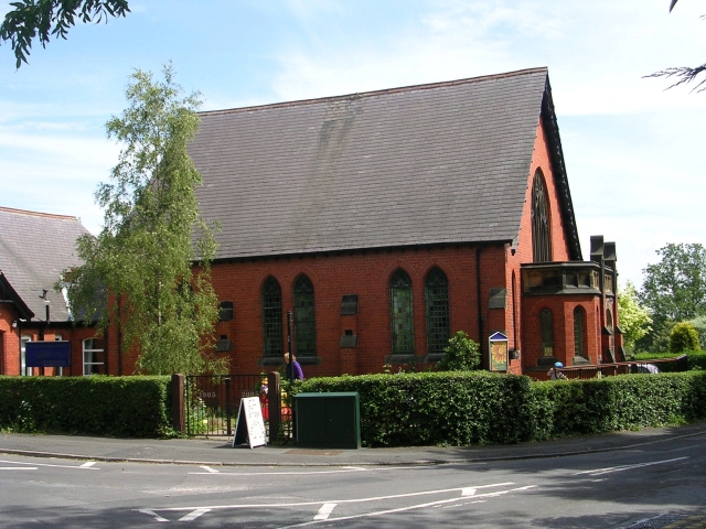
St Robert's Church, Pannal
St Robert's Church, Pannal, North Yorkshire, England, also known as St Robert of Knaresborough Parish Church, is a Grade II* listed building. A 13th-century...
Pannal
Pannal is a village in the Harrogate district of North Yorkshire, England. Historically part of the West Riding of Yorkshire, it is situated to the immediate...
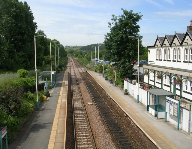
Pannal railway station
Pannal railway station serves the villages of Pannal and Spacey Houses in the southern suburbs of Harrogate, North Yorkshire, England, equidistant from...
New College, Harrogate
New College, Harrogate was an independent preparatory school in Harrogate, Yorkshire which amalgamated with Ashville College in 1930. New College was founded...
Ashville College
Ashville College is a co-educational independent school for both day and boarding pupils aged 2–18 in Harrogate, North Yorkshire, England. It was founded...
Rossett School
Rossett School is a co-educational secondary school with academy status in Harrogate, North Yorkshire, England. Its pupils are from Harrogate, neighbouring...

RAF Harrogate
Royal Air Force Harrogate or RAF Harrogate, sometimes known as Ministry of Defence (MoD) Harrogate, was the name for two distinct Royal Air Force establishments...
Nearby Amenities
Located within 500m of 53.959616,-1.54259Have you been to Burn Bridge?
Leave your review of Burn Bridge below (or comments, questions and feedback).