Woodcock Hill
Hill, Mountain in Yorkshire Harrogate
England
Woodcock Hill
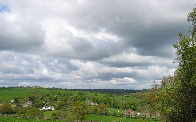
Woodcock Hill is a prominent geological formation located in the county of Yorkshire, England. Situated in the picturesque Yorkshire Dales National Park, it stands as a distinctive hill with an elevation of approximately 260 meters (850 feet) above sea level. The hill is part of the larger Pennines range, renowned for its stunning landscapes and natural beauty.
Woodcock Hill is characterized by its gently sloping sides and a rounded summit, covered with lush green vegetation. It is predominantly composed of Millstone Grit, a coarse-grained sandstone that is common in the area. This type of rock formation gives the hill its unique appearance and contributes to its resilience against erosion.
The hill offers breathtaking panoramic views of the surrounding countryside, with rolling hills, meandering rivers, and picturesque villages in the distance. Its location within the Yorkshire Dales National Park makes it a popular destination for outdoor enthusiasts, hikers, and nature lovers. Numerous walking trails and footpaths crisscross the hill, providing opportunities for exploration and discovery.
Woodcock Hill is also home to a diverse range of flora and fauna. The surrounding area supports a variety of wildlife, including birds, mammals, and plant species. Visitors may have the chance to spot red grouse, curlews, and lapwings, among other bird species, as they soar through the skies or nest in the hill's vegetation.
Overall, Woodcock Hill in Yorkshire is a magnificent natural landmark that showcases the beauty of the region. Its geological features, stunning views, and rich biodiversity make it an ideal destination for those seeking to immerse themselves in the tranquility of the Yorkshire countryside.
If you have any feedback on the listing, please let us know in the comments section below.
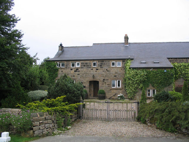
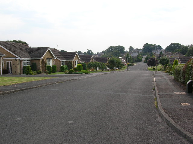
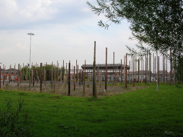
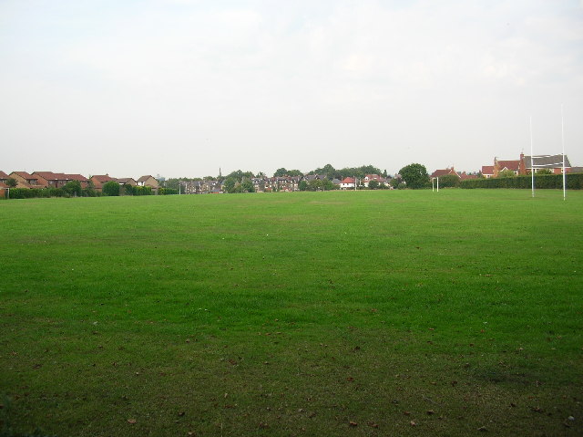
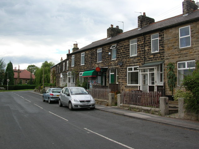
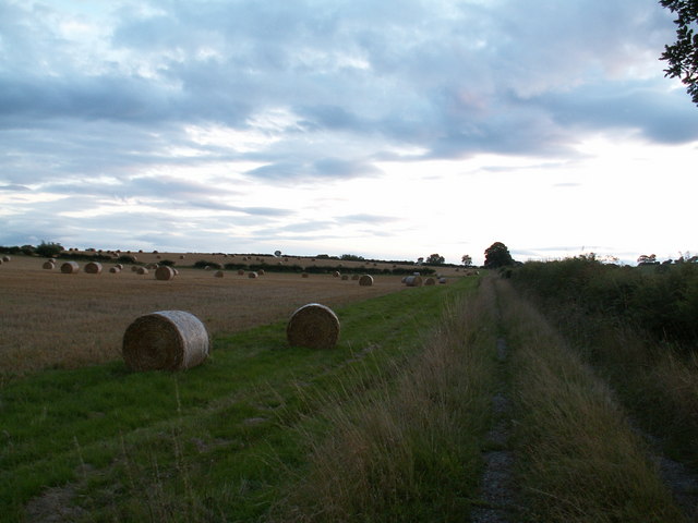
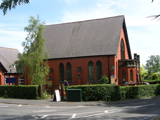
Woodcock Hill Images
Images are sourced within 2km of 53.962514/-1.5389072 or Grid Reference SE3051. Thanks to Geograph Open Source API. All images are credited.


Woodcock Hill is located at Grid Ref: SE3051 (Lat: 53.962514, Lng: -1.5389072)
Division: West Riding
Administrative County: North Yorkshire
District: Harrogate
Police Authority: North Yorkshire
What 3 Words
///spring.hope.dishes. Near Pannal, North Yorkshire
Nearby Locations
Related Wikis

St Robert's Church, Pannal
St Robert's Church, Pannal, North Yorkshire, England, also known as St Robert of Knaresborough Parish Church, is a Grade II* listed building. A 13th-century...

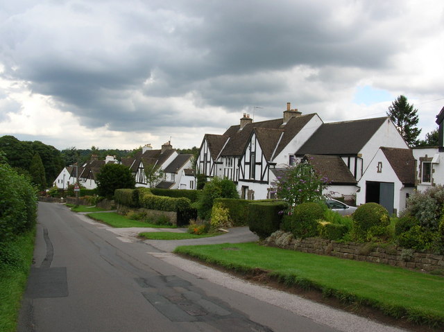
Pannal
Pannal is a village in the Harrogate district of North Yorkshire, England. Historically part of the West Riding of Yorkshire, it is situated to the immediate...
Burn Bridge
Burn Bridge is a village in the borough of Harrogate in North Yorkshire, England. It is 2.5 miles (4.0 km) south of the town of Harrogate, and forms part...
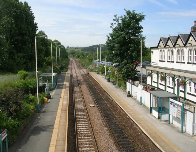
Pannal railway station
Pannal railway station serves the villages of Pannal and Spacey Houses in the southern suburbs of Harrogate, North Yorkshire, England, equidistant from...
New College, Harrogate
New College, Harrogate was an independent preparatory school in Harrogate, Yorkshire which amalgamated with Ashville College in 1930. New College was founded...
Ashville College
Ashville College is a co-educational independent school for both day and boarding pupils aged 2–18 in Harrogate, North Yorkshire, England. It was founded...
Rossett School
Rossett School is a co-educational secondary school with academy status in Harrogate, North Yorkshire, England. Its pupils are from Harrogate, neighbouring...

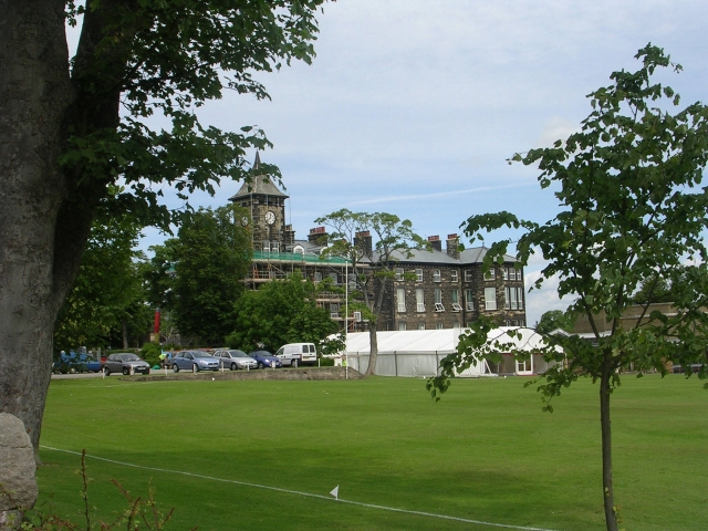
St George's Road Cricket Ground, Harrogate
St George's Road Cricket Ground in Harrogate, North Yorkshire, England, that hosted 98 first class matches between 1882 and 2000.It hosted a woman's Test...
Nearby Amenities
Located within 500m of 53.962514,-1.5389072Have you been to Woodcock Hill?
Leave your review of Woodcock Hill below (or comments, questions and feedback).