Temple Hill
Hill, Mountain in Warwickshire Warwick
England
Temple Hill
Temple Hill, located in Warwickshire, England, is a prominent hill that forms part of the rolling landscape of the county. With an elevation of 186 meters (610 feet), it is not classified as a mountain but rather as a hill. The hill is situated near the village of Temple Herdewyke, approximately 6 miles south of Warwick.
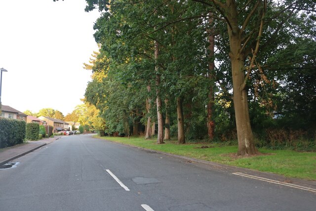
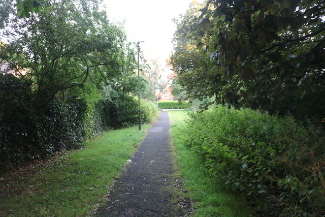
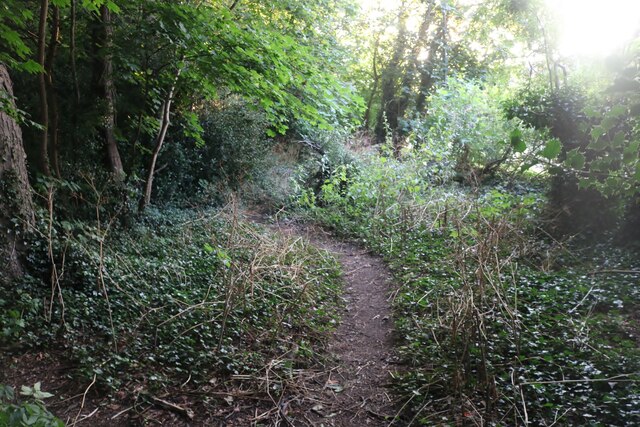
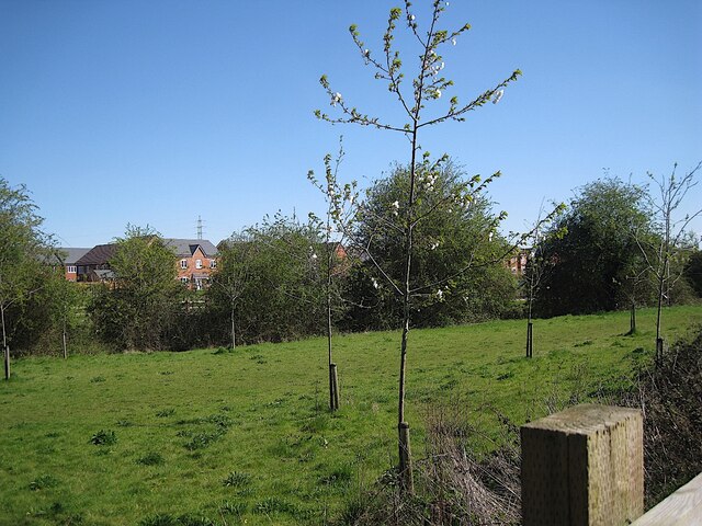
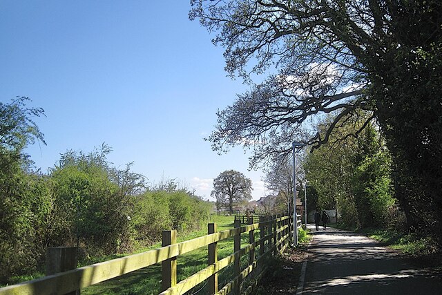
Temple Hill is known for its picturesque views and surrounding countryside, offering visitors and hikers an opportunity to soak in the natural beauty of Warwickshire. The hill is mostly covered in grass and scattered with trees, providing a peaceful and serene environment for those who venture to its summit.
At the top of Temple Hill, there is a trig point, which serves as a navigational marker and provides panoramic views of the surrounding area. On clear days, visitors can see the Warwickshire countryside stretching out in all directions, with views extending towards the Cotswolds and the Malvern Hills.
The hill also holds historical significance, as it is believed to have been used as a site for religious rituals during the Iron Age and Roman periods. There are remnants of an ancient settlement, including a circular earthwork enclosure, which adds to the archaeological interest of the area.
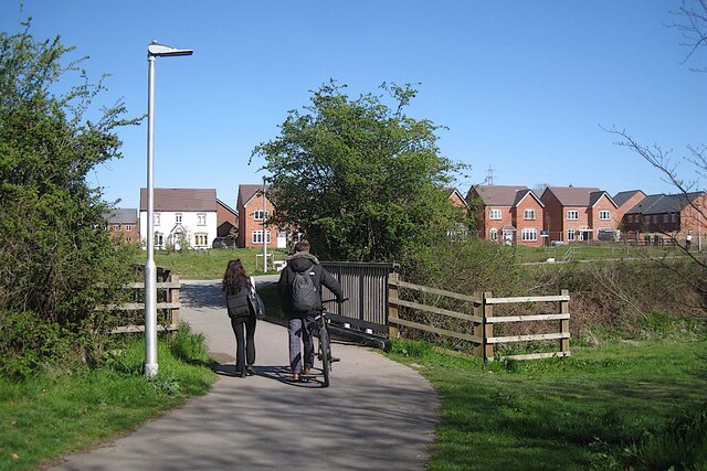
Temple Hill is a popular destination for outdoor enthusiasts, offering various walking trails and pathways for exploration. Whether it's a leisurely stroll or a more challenging hike, visitors can enjoy the tranquility and natural beauty that Temple Hill and its surroundings have to offer.
If you have any feedback on the listing, please let us know in the comments section below.
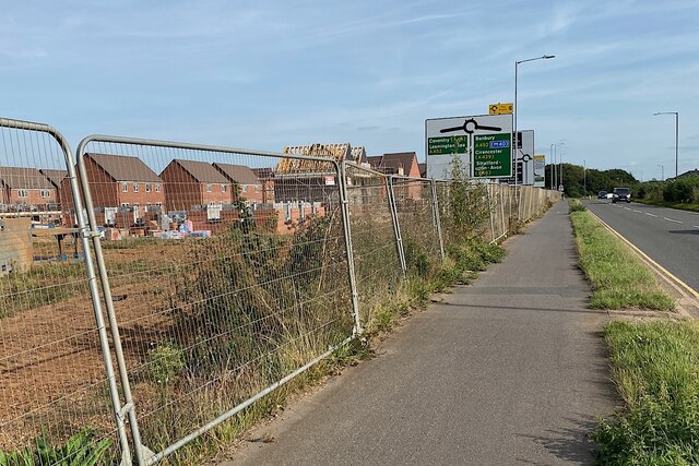
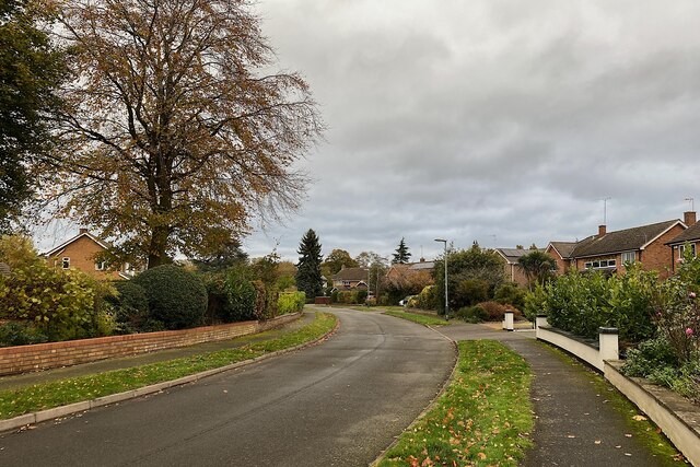
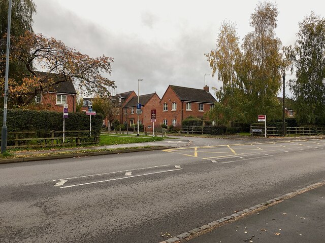
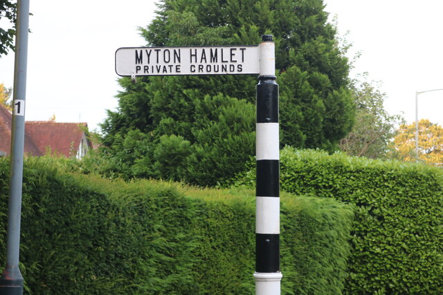
Temple Hill Images
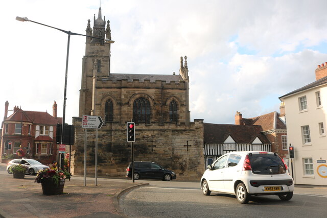
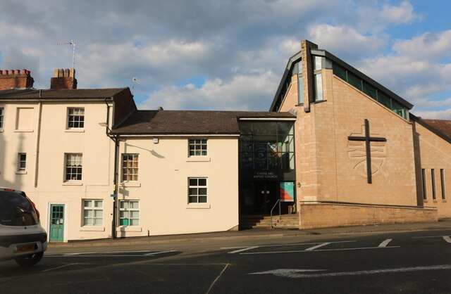
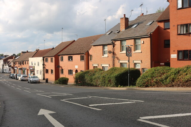
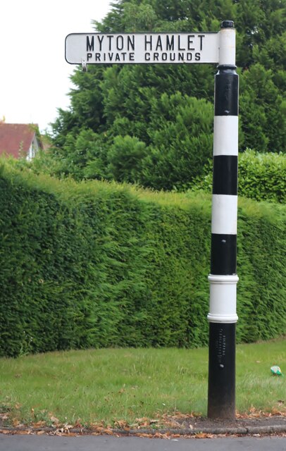
Images are sourced within 2km of 52.270522/-1.5807448 or Grid Reference SP2863. Thanks to Geograph Open Source API. All images are credited.

Temple Hill is located at Grid Ref: SP2863 (Lat: 52.270522, Lng: -1.5807448)
Administrative County: Warwickshire
District: Warwick
Police Authority: Warwickshire
What 3 Words
///area.vent.soak. Near Warwick, Warwickshire
Nearby Locations
Related Wikis
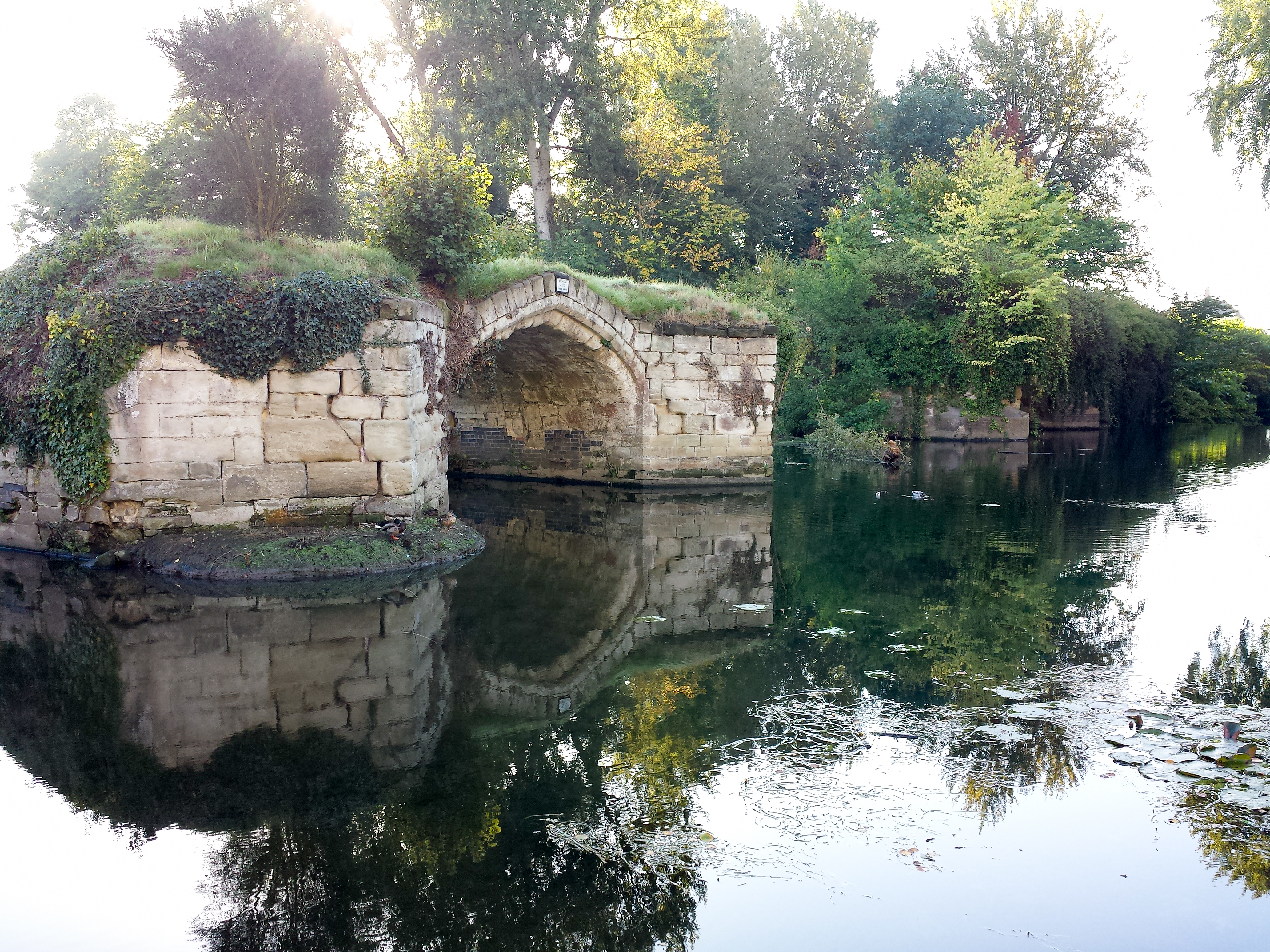
Old Castle Bridge
The Old Castle Bridge in Warwick, England is a ruined medieval bridge. The multi-arch stone bridge was built across the River Avon a short distance south...

Castle Bridge
Castle Bridge is a grade II* listed road bridge in Warwick, Warwickshire, England, which carries the A425 road over the River Avon.In 1788, the Earl of...
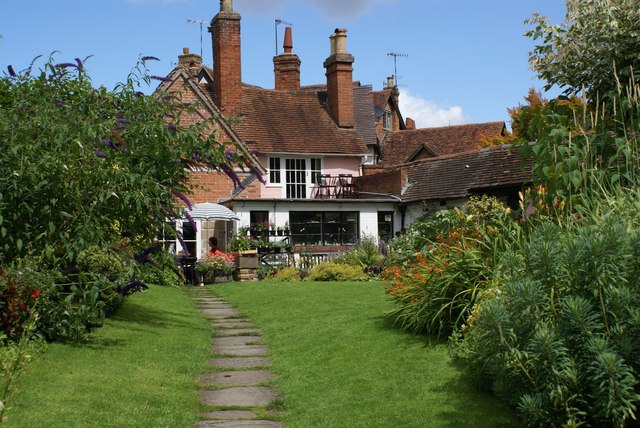
The Mill Garden
The Mill Garden is a private garden adjacent to Warwick Castle measuring half an acre open to the public and situated on the bank of the River Avon in...
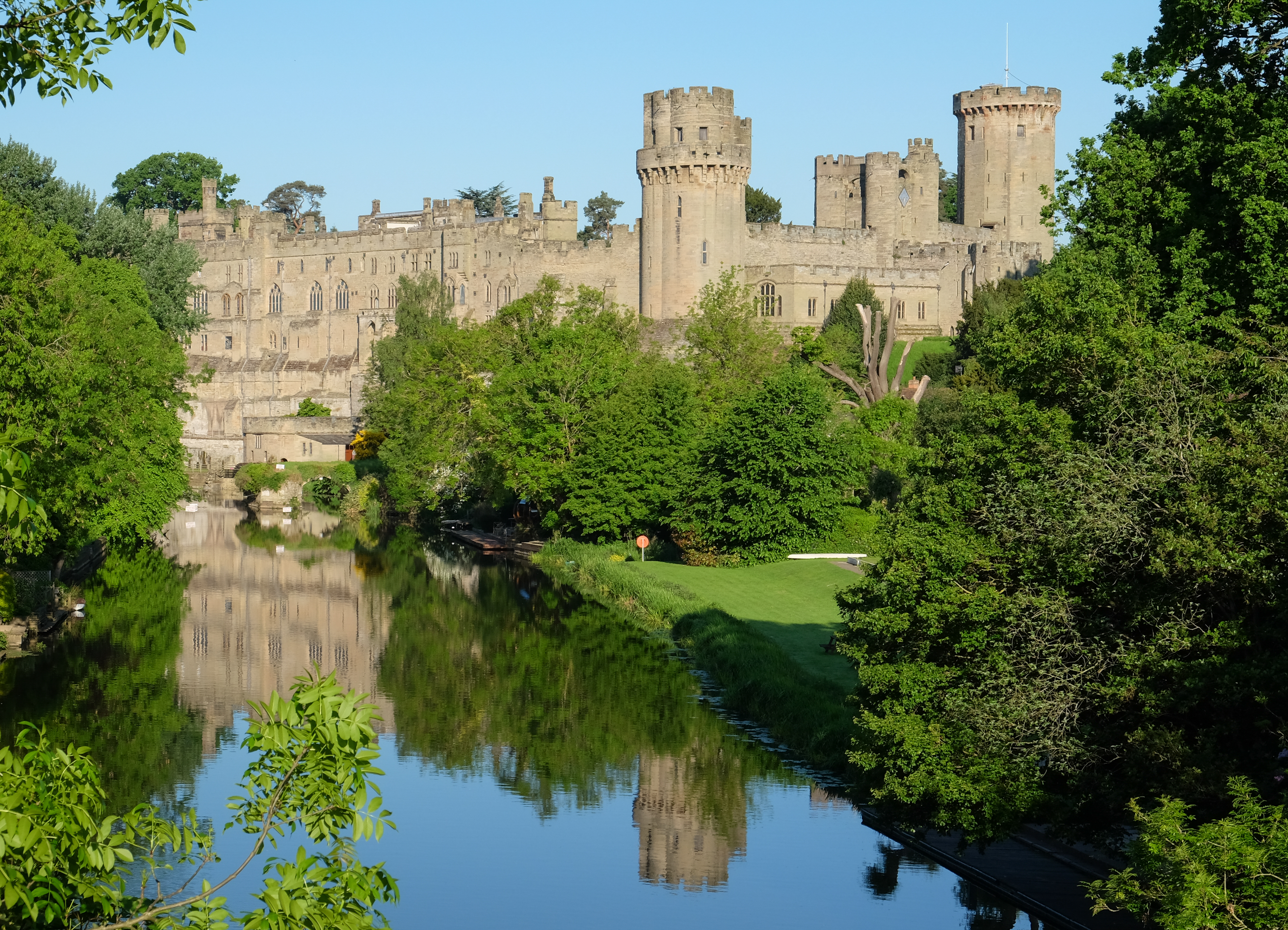
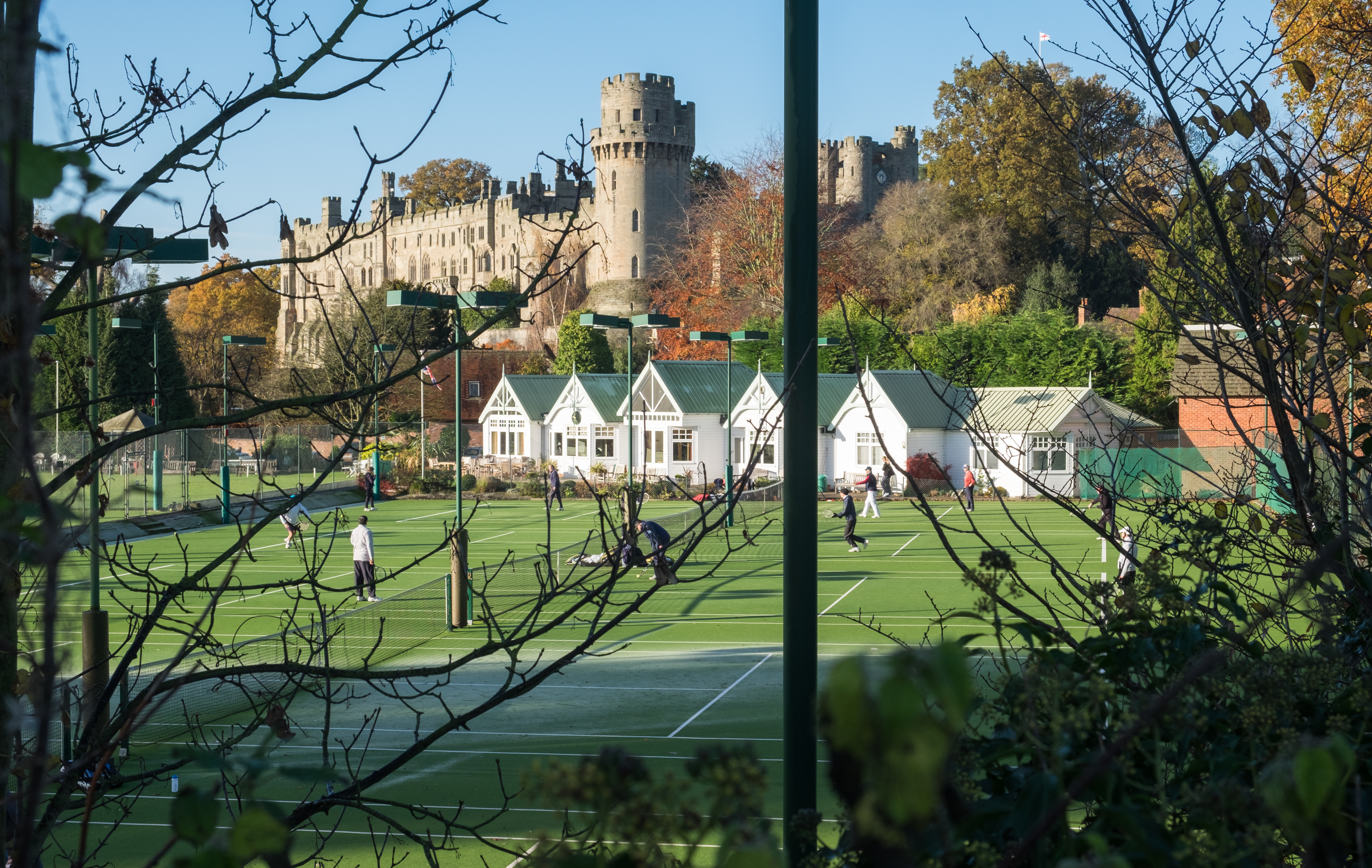
Warwick Castle
Warwick Castle is a medieval castle developed from a wooden fort, originally built by William the Conqueror during 1068. Warwick is the county town of...

List of owners of Warwick Castle
Warwick Castle, in Warwickshire, UK, was first constructed in 1068. Over its 950 years of history it has been owned by 36 different individuals, plus...

Warwick School
Warwick School is a public school (British independent boarding and day school) in Warwick, England. Known until about 1900 as King's School, Warwick,...
Warwick Boat Club
Warwick Boat Club is a rowing club on the River Avon. == History == The club was founded in 1861. Unusually it includes separate "sections" and good grounds...

St Mary Immaculate Roman Catholic Church, Warwick
St Mary Immaculate is an active Roman Catholic parish church in the town of Warwick, England. It lies to the south west of the town on West Street outside...
Have you been to Temple Hill?
Leave your review of Temple Hill below (or comments, questions and feedback).