Breckamore Hill

Hill, Mountain in Yorkshire Harrogate

England

Breckamore Hill

Dry valley near Sunley Raynes Dry valley in the gentle hill country to the west of Ripon. Is the valley dry because the underlying rock is permian limestone, or is it an abandoned glacial overflow channel, of which there are several in this area?
Dry valley near Sunley Raynes Credit: Gordon Hatton

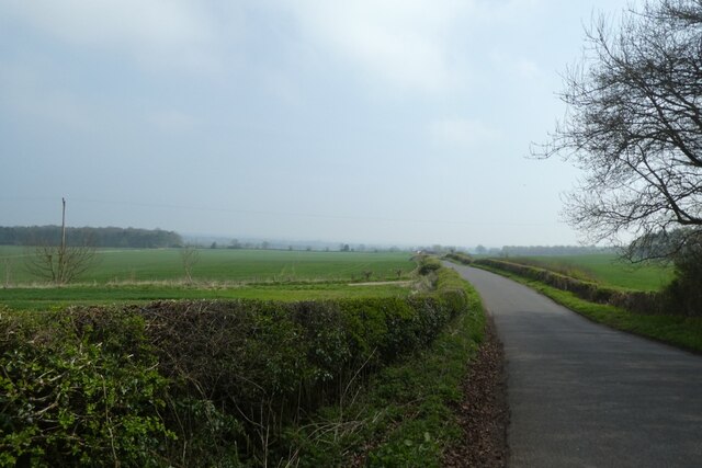
Breckamore Hill is a prominent natural landmark located in the Yorkshire Dales, a picturesque region in northern England. Situated in the county of Yorkshire, this hill offers breathtaking vistas and serves as a popular destination for nature enthusiasts and hikers. With an elevation of approximately 450 meters (1475 feet), it is often referred to as a hill rather than a mountain.

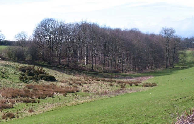
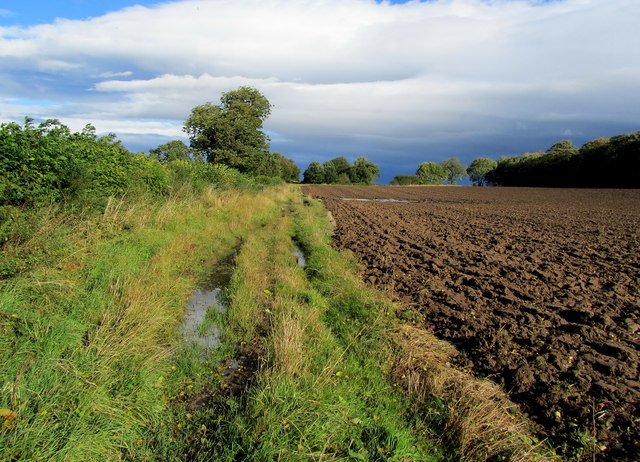
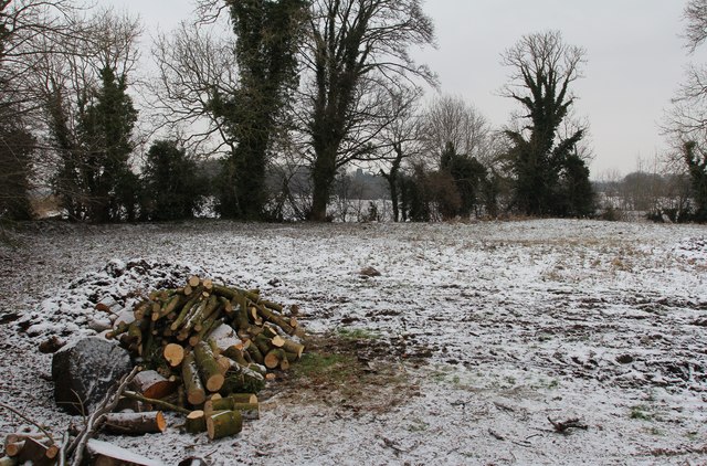
Nestled within the Yorkshire Dales National Park, Breckamore Hill is characterized by its rolling green slopes and rugged terrain. The hill is composed mainly of limestone, which gives it a distinctive appearance and supports a diverse range of flora and fauna. Rare and protected species such as mountain pansies and bilberries can be found scattered across its slopes.

Hikers and walkers are drawn to Breckamore Hill for its panoramic views of the surrounding countryside. On a clear day, visitors can marvel at the expansive vistas of the Yorkshire Dales, with its patchwork fields, charming villages, and meandering rivers. The hill also offers an opportunity to observe local wildlife, including birds such as curlews and lapwings that inhabit the moorland.

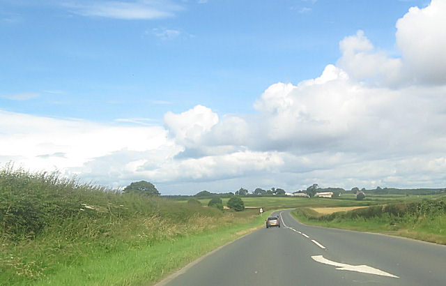
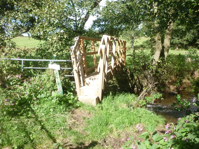
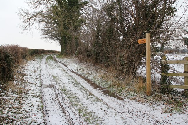
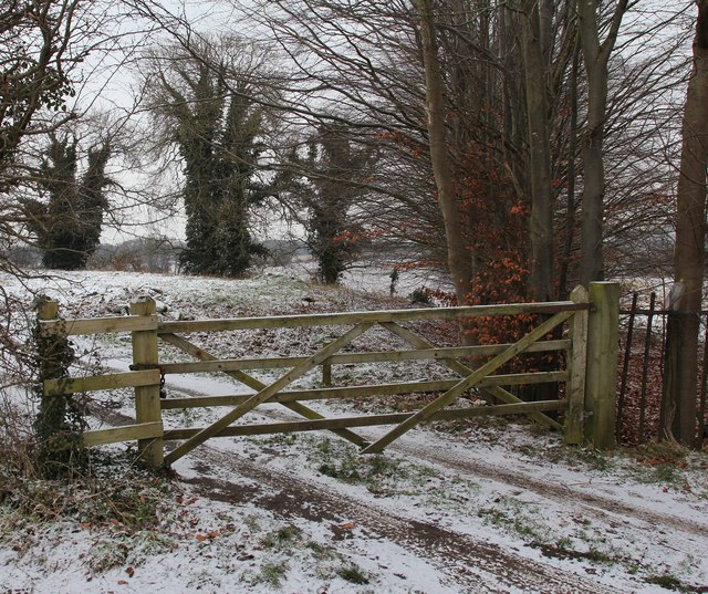
Access to Breckamore Hill is primarily through designated footpaths and trails that wind their way up the slopes. These routes cater to a range of abilities, from leisurely walks to more challenging hikes. The hill is often included as part of longer treks, allowing adventurers to explore the wider region.

Overall, Breckamore Hill is a captivating natural landmark in Yorkshire, offering visitors a chance to connect with nature and experience the beauty of the Yorkshire Dales.

If you have any feedback on the listing, please let us know in the comments section below.

Breckamore Hill Images

Images are sourced within 2km of 54.151834/-1.5617947 or Grid Reference SE2872. Thanks to Geograph Open Source API. All images are credited.

Dry valley near Sunley Raynes Dry valley in the gentle hill country to the west of Ripon. Is the valley dry because the underlying rock is permian limestone, or is it an abandoned glacial overflow channel, of which there are several in this area?
Dry valley near Sunley Raynes
Dry valley in the gentle hill country to the west of Ripon. Is the valley dry because the underlying rock is permian limestone, or is it an abandoned glacial overflow channel, of which there are several in this area?
Long straight towards North Lees Grange
New Footbridge On the route of the Aislabie Walk near Witch-of-the-Woods House a replacement footbridge has been installed.
New Footbridge
On the route of the Aislabie Walk near Witch-of-the-Woods House a replacement footbridge has been installed.
Galphay Lane On the road between Galphay and Ripon
Galphay Lane
On the road between Galphay and Ripon
Bishopton Lane Residential road on the western fringes of Ripon, North Yorkshire
Bishopton Lane
Residential road on the western fringes of Ripon, North Yorkshire
On the footpath between Ripon and North Lees The path edges its soggy way through an arable landscape between Ripon and North Lees
On the footpath between Ripon and North Lees
The path edges its soggy way through an arable landscape between Ripon and North Lees
Rural aspect near North Lees Flat arable land to the west of North Lees - giving big skies.
Rural aspect near North Lees
Flat arable land to the west of North Lees - giving big skies.
Waterlogged Track to North Lees Progress was taken with care to avoid waterlogged boots on the soggy footpath between Ripon and North Lees.
Waterlogged Track to North Lees
Progress was taken with care to avoid waterlogged boots on the soggy footpath between Ripon and North Lees.
Bridleway to Ripon Parks Track running east from the A6108 towards Ripon Parks
Bridleway to Ripon Parks
Track running east from the A6108 towards Ripon Parks
Little Harries Lane, Lark Hill Footpath leading to North Lees.
Little Harries Lane, Lark Hill
Footpath leading to North Lees.
Smallpox Hospital (site of) In 1902 a smallpox hospital was built on the outskirts of Ripon, which helped to reduce the burden on the Workhouse Guardians to provide for the sick.
Smallpox Hospital (site of)
In 1902 a smallpox hospital was built on the outskirts of Ripon, which helped to reduce the burden on the Workhouse Guardians to provide for the sick.
Larkhill Reservoir (site of), Little Harries Lane Part of the early Ripon Corporation Waterworks Scheme but already disused by 1892.
Larkhill Reservoir (site of), Little Harries Lane
Part of the early Ripon Corporation Waterworks Scheme but already disused by 1892.
Sunley Raynes farm Aerial photo of Sunley Raynes farm which was rebuilt in 1729
Sunley Raynes farm
Aerial photo of Sunley Raynes farm which was rebuilt in 1729
Road near Birkby Wood Cottages Looking along the road between Galphay and Ripon.
Road near Birkby Wood Cottages
Looking along the road between Galphay and Ripon.
Down the road towards Galphay Mill Bridge Looking along the road between Galphay and Ripon.
Down the road towards Galphay Mill Bridge
Looking along the road between Galphay and Ripon.
Road near Birkby Wood Cottages Looking along the road between Galphay and Ripon.
Road near Birkby Wood Cottages
Looking along the road between Galphay and Ripon.
Galphay Lane Looking along the road between Galphay and Ripon.
Galphay Lane
Looking along the road between Galphay and Ripon.
Field beside Galphay Lane Looking across farmland between Galphay and Ripon.
Field beside Galphay Lane
Looking across farmland between Galphay and Ripon.
Show me another place!

Breckamore Hill is located at Grid Ref: SE2872 (Lat: 54.151834, Lng: -1.5617947)

Division: West Riding

Administrative County: North Yorkshire

District: Harrogate

Police Authority: North Yorkshire

What 3 Words

///married.radiates.bungalows. Near Ripon, North Yorkshire

Nearby Locations

Breckamore Hill

Related Wikis

Claro Barracks

Claro Barracks is a British Army installation in Ripon, North Yorkshire. It is set to close in 2026. == History == The barracks, which were originally...

Sutton Grange, North Yorkshire

Sutton Grange is a small settlement in North Yorkshire, England, 2 miles (3 km) north west of Ripon. It was historically a township in the parish of Ripon...

North Lees

North Lees is a hamlet in the Harrogate district of North Yorkshire, England. It is about 1.9 miles (3 km) north of Ripon on the A6108 road. The village...

Cow Myers (wetland)

Cow Myers is a Site of Special Scientific Interest (SSSI) located in the Nidderdale Area of Outstanding Natural Beauty (AONB), near Ripon, North Yorkshire...

Ripon Grammar School

Ripon Grammar School is a co-educational, boarding and day, selective grammar school in Ripon, North Yorkshire, England. It has been named top-performing...

Outwood Academy Ripon

Outwood Academy Ripon is a small mixed secondary school with academy status situated in the city of Ripon, in North Yorkshire, England. It provides for...

The Ultimate (roller coaster)

The Ultimate was a steel roller coaster located at Lightwater Valley theme park in North Yorkshire, England. Manufactured by British Rail Engineering Limited...

Raptor Attack

Raptor Attack was an enclosed steel roller coaster at the Lightwater Valley theme park in North Yorkshire, United Kingdom. and was the world's first underground...

Nearby Amenities

Located within 500m of 54.151834,-1.5617947
Building: yes
Lat/Long: 54.1509022/-1.5652927
The data included in this document is from www.openstreetmap.org. The data is made available under ODbL.

Have you been to Breckamore Hill?

Leave your review of Breckamore Hill below (or comments, questions and feedback).