Engamoor Hill
Hill, Mountain in Shetland
Scotland
Engamoor Hill
Engamoor Hill is a prominent hill located in the Shetland Islands, an archipelago in Scotland. It rises to an elevation of 260 meters (853 feet) above sea level, making it one of the highest points on the island. The hill is situated in the central part of the Mainland, the largest island in the Shetland group.
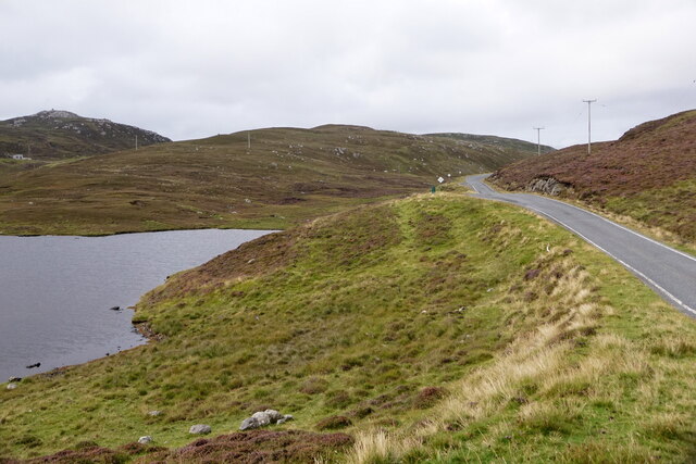
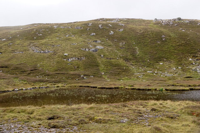
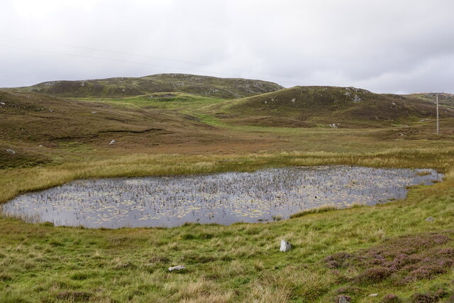
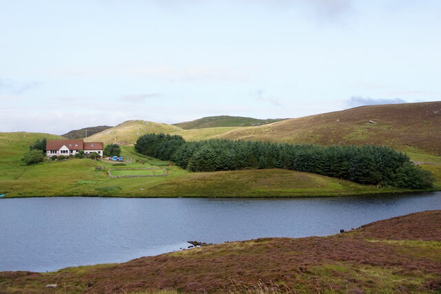
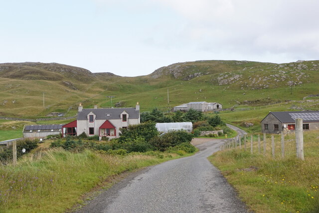
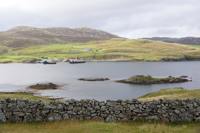
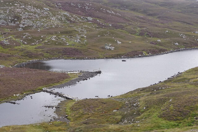
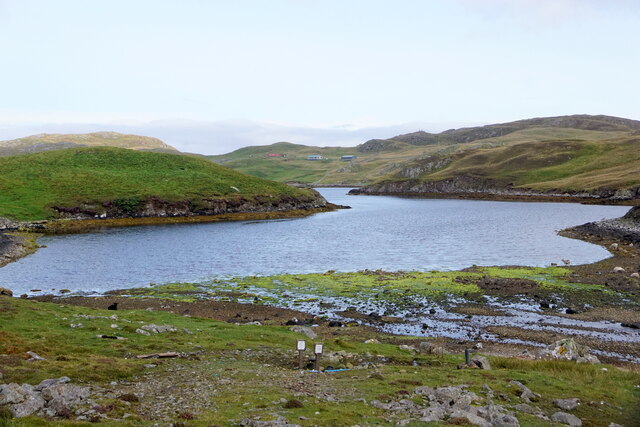
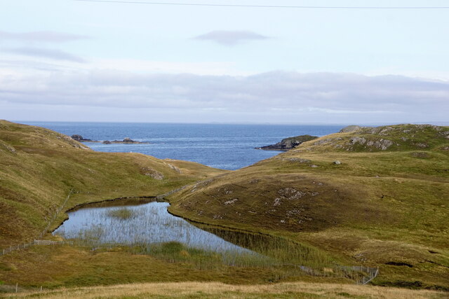
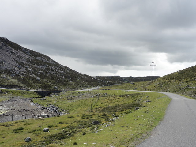
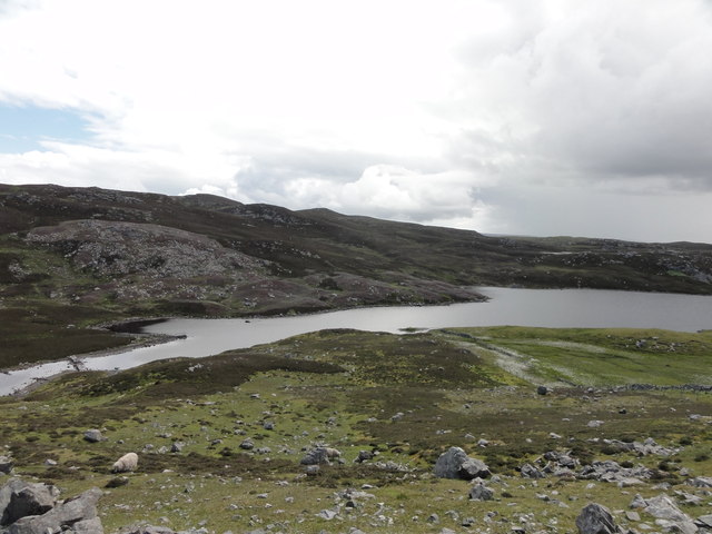
Engamoor Hill is characterized by its distinctive rounded shape and is covered in heather and grasses, which create a vibrant display of colors during the summer months. The hill offers panoramic views of the surrounding landscape, including the rolling hills, valleys, and scattered lochs that make up the Shetland countryside.
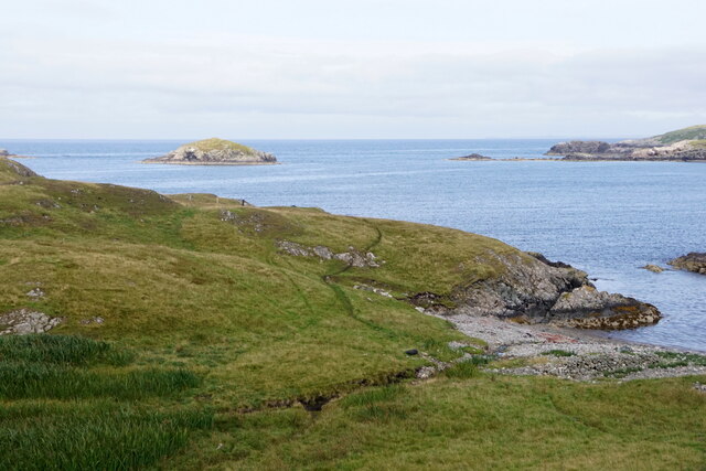
The hill is a popular destination for hikers and outdoor enthusiasts, attracting both locals and visitors alike. A well-defined path leads to the summit, making it accessible to individuals with varying levels of hiking experience. From the top, on a clear day, one can admire the vast expanse of the North Sea, the neighboring islands, and even the distant Scottish mainland.
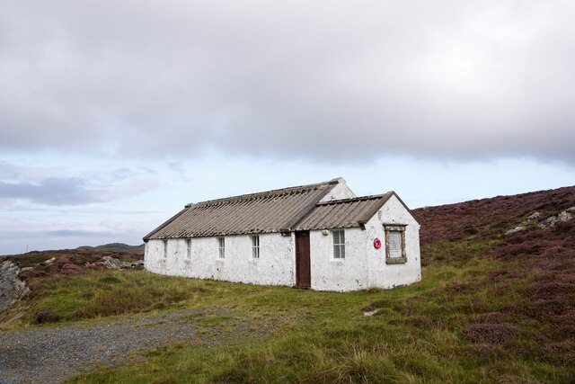
Engamoor Hill is also of historical significance, with traces of ancient settlements and burial sites found in the vicinity. These archaeological remains provide insights into the island's past and the lives of its early inhabitants.
Overall, Engamoor Hill is a notable feature of the Shetland landscape, offering breathtaking views, recreational opportunities, and a glimpse into the area's rich history.
If you have any feedback on the listing, please let us know in the comments section below.
Engamoor Hill Images
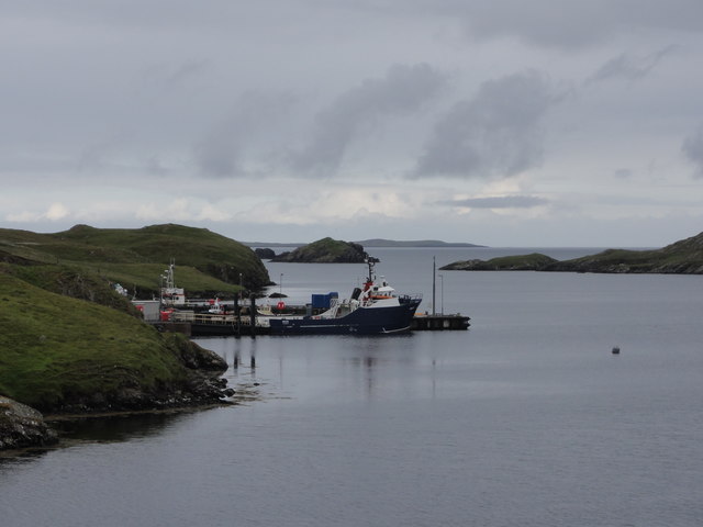
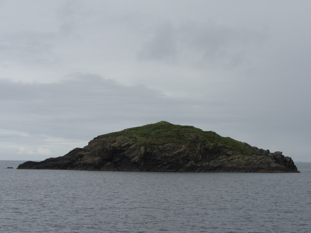
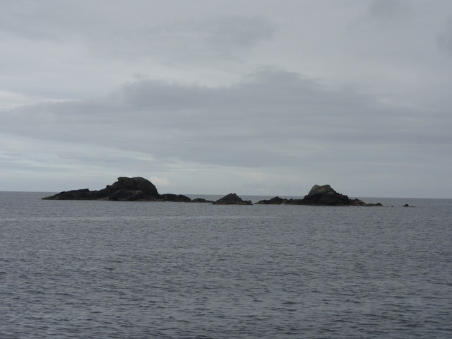
Images are sourced within 2km of 60.302512/-1.5304838 or Grid Reference HU2657. Thanks to Geograph Open Source API. All images are credited.

Engamoor Hill is located at Grid Ref: HU2657 (Lat: 60.302512, Lng: -1.5304838)
Unitary Authority: Shetland Islands
Police Authority: Highlands and Islands
What 3 Words
///paddle.slowly.mandolin. Near Walls, Shetland Islands
Nearby Locations
Related Wikis

Broch of West Burrafirth
The Broch of West Burrafirth is an Iron Age broch located on the west side of Mainland, Shetland (grid reference HU25625720). == Location == The broch...

Brindister, West Mainland
Brindister is a settlement on the West Mainland of Shetland, Scotland. It is within the parish of Sandsting, and on the western shore of Brindister Voe...

Bousta
Bousta is a settlement on Mainland, in Shetland, Scotland. Bousta is situated in the parish of Walls and Sandness.Scott's Hawkweed is native to the pastures...

Vementry
Vementry (Old Norse: "Vemunðarey") is an uninhabited Scottish island in Shetland on the north side of the West Mainland, lying south of Muckle Roe. �...

Linga (near Vementry)
Linga is one of the Shetland Islands, near Vementry. It is one of many islands in Shetland called Linga. The island is uninhabited. == Geography and... ==

Clousta
Clousta is a hamlet on Mainaland, in the island's west, Shetland, Scotland. Approximately seventy people live here, many of whom are commuters, but local...

Scord of Brouster
The Scord of Brouster is one of the earliest Neolithic farm sites in Shetland, Scotland. It has been dated to 2220 BC with a time window of 80 years on...

West Mainland
The West Mainland of the Shetland Islands is the part of the Shetland Mainland lying west of Aith (1° 23′ W). == Geography == Points of interest include...
Nearby Amenities
Located within 500m of 60.302512,-1.5304838Have you been to Engamoor Hill?
Leave your review of Engamoor Hill below (or comments, questions and feedback).