Houlma Water
Lake, Pool, Pond, Freshwater Marsh in Shetland
Scotland
Houlma Water
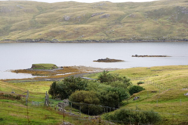
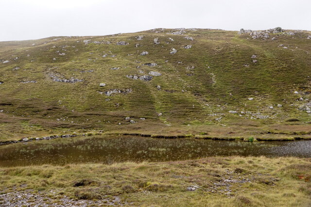
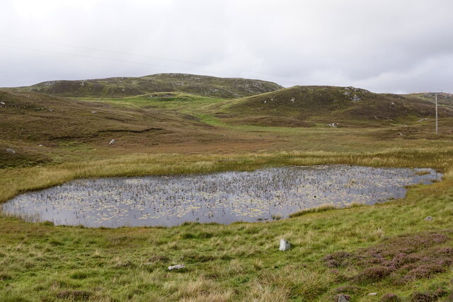
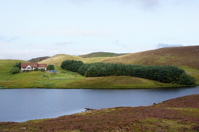
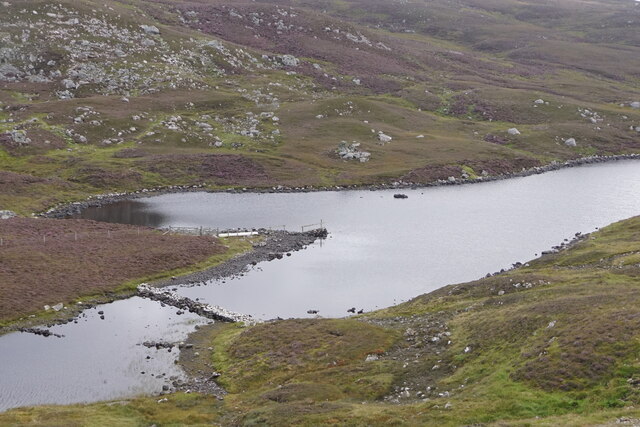
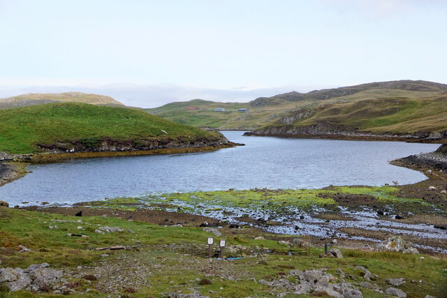
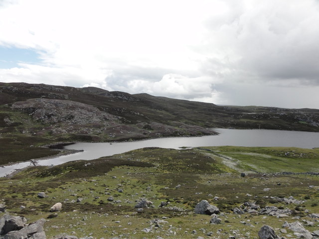
Houlma Water is a small freshwater loch located in the Shetland Islands, off the northern coast of Scotland. Nestled amidst picturesque landscapes, this tranquil body of water is a popular destination for both locals and tourists seeking a serene natural setting.
Measuring approximately 0.5 hectares in surface area, Houlma Water is often referred to as a loch due to its size. It is surrounded by lush vegetation and gentle slopes, creating a peaceful atmosphere. The water in the loch is typically crystal clear and sustains a diverse ecosystem.
This freshwater habitat supports a variety of aquatic plants, including water lilies and reeds, which provide shelter and food for numerous species of fish, insects, and amphibians. Anglers are drawn to Houlma Water for its healthy population of brown trout, which thrive in its cool, oxygen-rich waters.
The loch is also home to a variety of waterfowl species, such as ducks and swans, which can often be seen gracefully gliding across the water's surface. The surrounding wetlands and marshes provide nesting sites and feeding grounds for a range of bird species, including herons and lapwings.
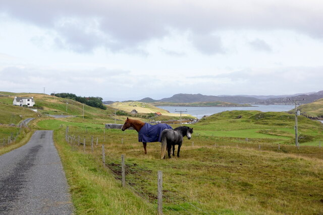
Visitors to Houlma Water can enjoy leisurely walks along the water's edge or simply relax on its shores, taking in the breathtaking scenery. The peaceful ambiance and abundance of wildlife make it an ideal spot for nature enthusiasts, photographers, and those seeking a peaceful retreat in the heart of Shetland's natural beauty.
If you have any feedback on the listing, please let us know in the comments section below.
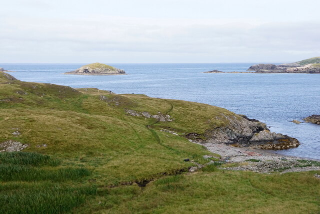
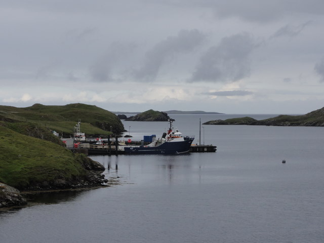
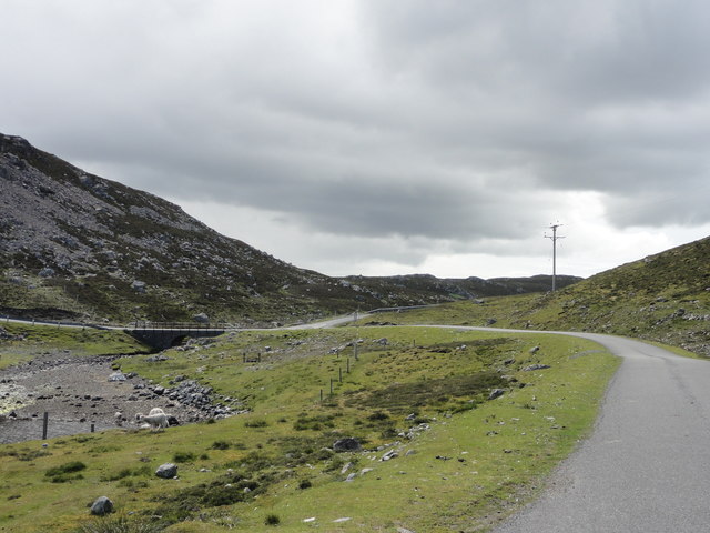
Houlma Water Images
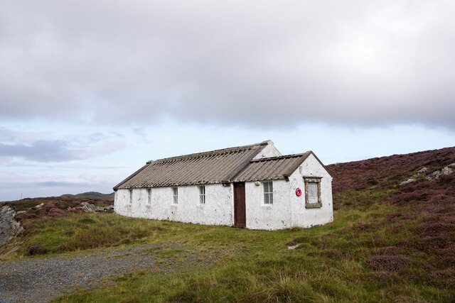
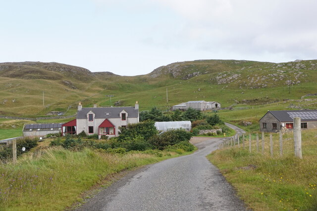
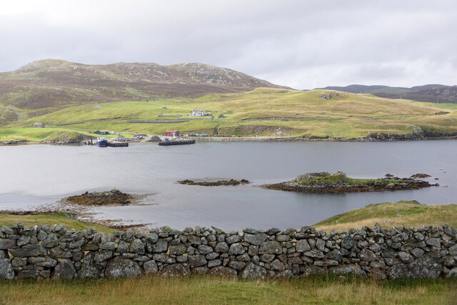
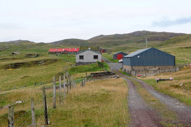
Images are sourced within 2km of 60.301999/-1.5200332 or Grid Reference HU2657. Thanks to Geograph Open Source API. All images are credited.

Houlma Water is located at Grid Ref: HU2657 (Lat: 60.301999, Lng: -1.5200332)
Unitary Authority: Shetland Islands
Police Authority: Highlands and Islands
What 3 Words
///childcare.mime.riverbed. Near Aith, Shetland Islands
Nearby Locations
Related Wikis

Broch of West Burrafirth
The Broch of West Burrafirth is an Iron Age broch located on the west side of Mainland, Shetland (grid reference HU25625720). == Location == The broch...

Brindister, West Mainland
Brindister is a settlement on the West Mainland of Shetland, Scotland. It is within the parish of Sandsting, and on the western shore of Brindister Voe...

Bousta
Bousta is a settlement on Mainland, in Shetland, Scotland. Bousta is situated in the parish of Walls and Sandness.Scott's Hawkweed is native to the pastures...

Vementry
Vementry (Old Norse: "Vemunðarey") is an uninhabited Scottish island in Shetland on the north side of the West Mainland, lying south of Muckle Roe. �...
Nearby Amenities
Located within 500m of 60.301999,-1.5200332Have you been to Houlma Water?
Leave your review of Houlma Water below (or comments, questions and feedback).