Upper Engamoor

Downs, Moorland in Shetland

Scotland

Upper Engamoor

Horses at Brindister
Horses at Brindister Credit: Mike Pennington

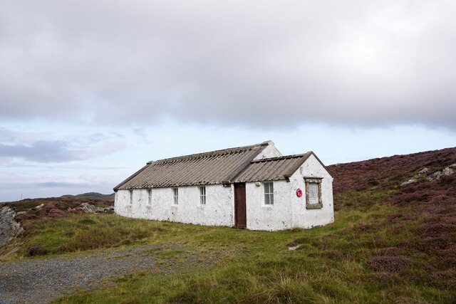
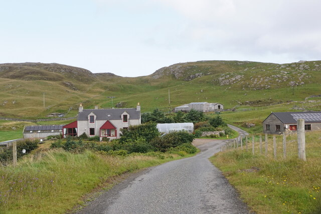
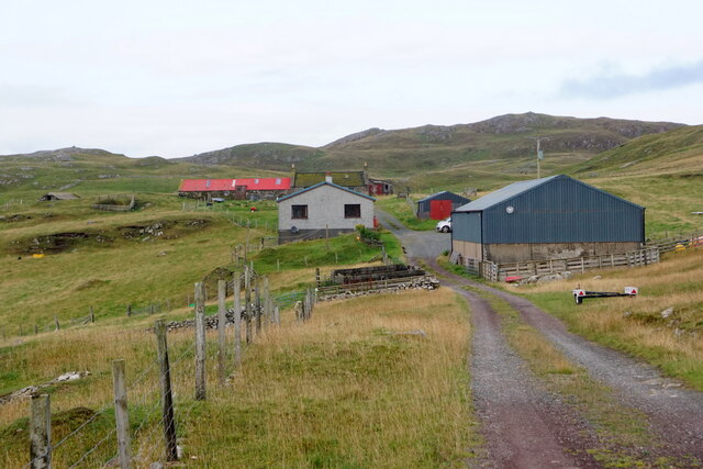
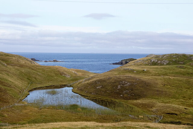
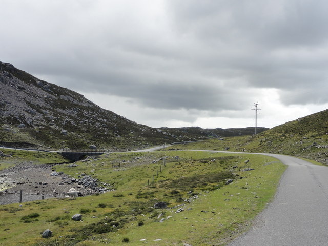
Upper Engamoor is a picturesque area located in the Shetland Islands, specifically in the region of Downs and Moorland. With its breathtaking landscapes and unique natural features, Upper Engamoor is a haven for nature enthusiasts and visitors seeking tranquility.

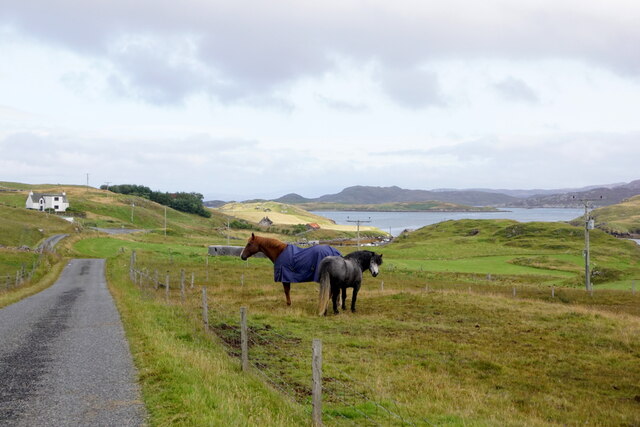
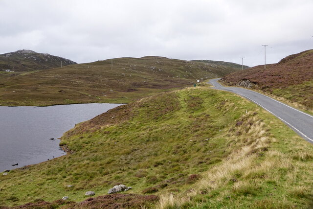
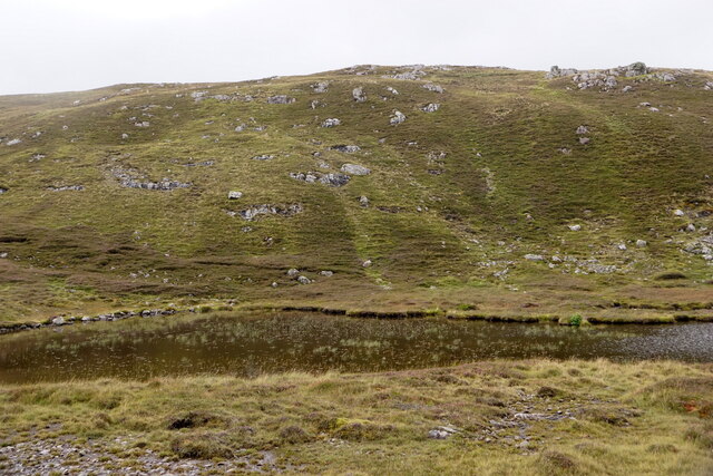
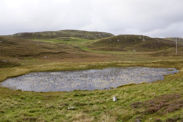
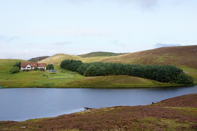
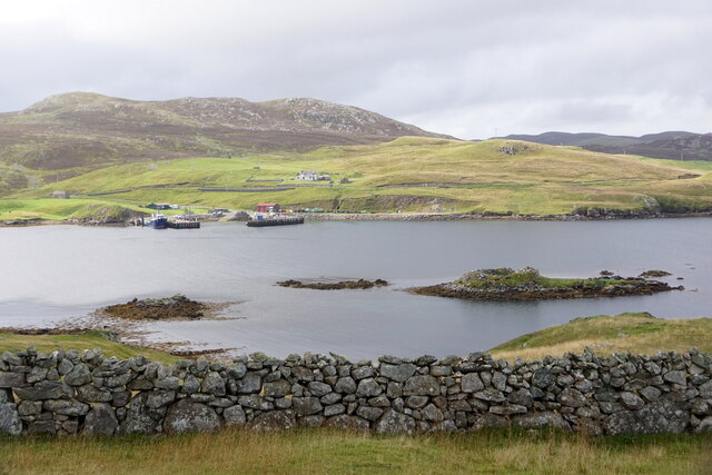
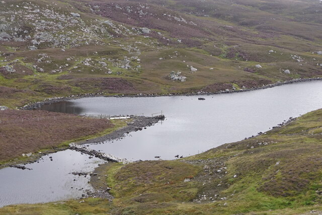
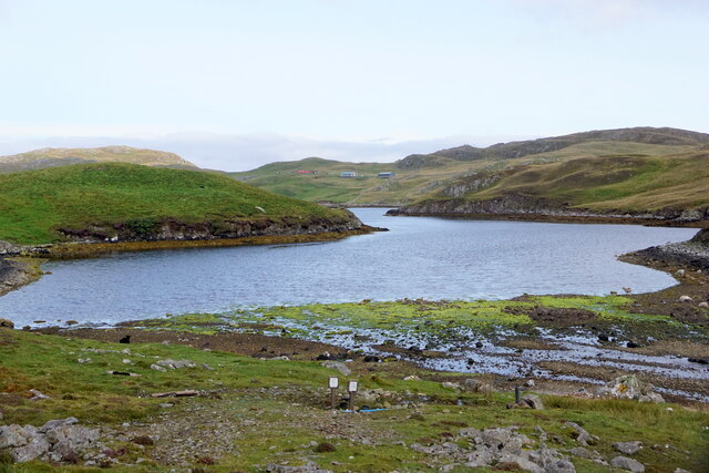
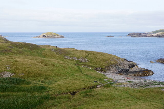
The area is characterized by rolling hills, vast moorlands, and lush greenery, creating a striking contrast against the deep blue waters of the North Sea. The terrain is predominantly composed of peat, which contributes to the distinctiveness of the local flora and fauna. Visitors can expect to encounter a variety of plant species, including heather, mosses, and wildflowers, which add vibrant colors to the landscape.

Upper Engamoor is also home to a diverse range of wildlife. Birdwatchers will delight in the abundance of avian species, such as puffins, gannets, and fulmars, which nest in the cliffs and roam the skies above. The moorlands provide a habitat for several small mammals like mountain hares and voles, while the surrounding waters support a variety of marine life, including seals and otters.

The area offers numerous opportunities for outdoor activities. Hiking and walking trails crisscross the moorlands, providing visitors with the chance to explore the stunning scenery and enjoy breathtaking panoramic views of the surrounding areas. The peacefulness and tranquility of Upper Engamoor make it an ideal location for photography, painting, or simply immersing oneself in the beauty of nature.

In summary, Upper Engamoor is a captivating destination within the Shetland Islands that showcases the untamed beauty of the moorlands and downs. It is a place where visitors can escape the hustle and bustle of everyday life, immerse themselves in nature, and appreciate the unique ecosystem that thrives in this remote corner of the world.

If you have any feedback on the listing, please let us know in the comments section below.

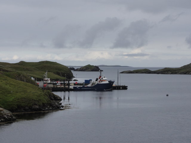
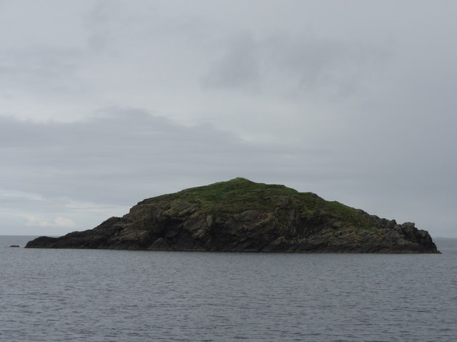
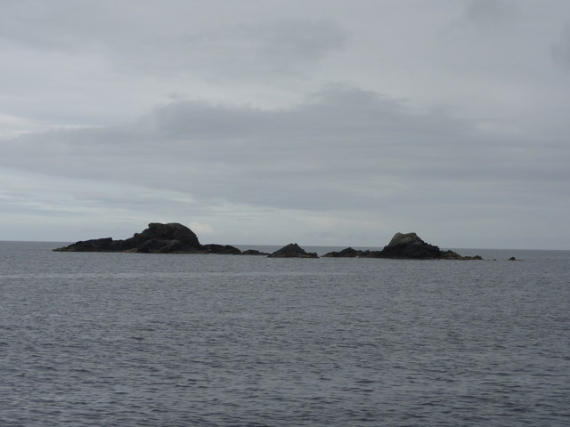
Upper Engamoor Images

Images are sourced within 2km of 60.297633/-1.5267365 or Grid Reference HU2657. Thanks to Geograph Open Source API. All images are credited.

Horses at Brindister
Road beside Round Loch, Brindister
West Burrafirth kirk
A lochan at West Burrafirth
Water-lilies in a lochan at West Burrafirth
Longa Water and Modesty, West Burrafirth
Engamoor, West Burrafirth
Broch at West Burra Firth
South-house, West Burrafirth
Papa Stour ferry, MV Snolda, at West Burrafirth pier
Outflow from Sulma Water at Fogrigarth
The head of West Burra Firth
West Burra Firth and Galta Stack
Un-named lochan at Hogan, between West Burrafirth and Snarra Ness
Pappa Stour Ferry Ferry 'Snolda' docked at the pier at West Burrafirth
Pappa Stour Ferry
Ferry 'Snolda' docked at the pier at West Burrafirth
Galta Stack View from the Papa Stour Ferry
Galta Stack
View from the Papa Stour Ferry
Riv Skerries View from the Papa Stour Ferry
Riv Skerries
View from the Papa Stour Ferry
Burn of Fogrigarth Burn of Fogrigarth and road
Burn of Fogrigarth
Burn of Fogrigarth and road
Show me another place!

Upper Engamoor is located at Grid Ref: HU2657 (Lat: 60.297633, Lng: -1.5267365)

Unitary Authority: Shetland Islands

Police Authority: Highlands and Islands

What 3 Words

///throat.shiver.trial. Near Walls, Shetland Islands

Related Wikis

Broch of West Burrafirth

The Broch of West Burrafirth is an Iron Age broch located on the west side of Mainland, Shetland (grid reference HU25625720). == Location == The broch...

Brindister, West Mainland

Brindister is a settlement on the West Mainland of Shetland, Scotland. It is within the parish of Sandsting, and on the western shore of Brindister Voe...

Bousta

Bousta is a settlement on Mainland, in Shetland, Scotland. Bousta is situated in the parish of Walls and Sandness. Scott's Hawkweed is native to the pastures...

Vementry

Vementry (Old Norse: "Vemunðarey") is an uninhabited Scottish island in Shetland on the north side of the West Mainland, lying south of Muckle Roe. �...

Nearby Amenities

Located within 500m of 60.297633,-1.5267365
Seamark Light 1 Category: directional
Seamark Light 1 Character: F
Seamark Light 1 Colour: green
Seamark Light 1 Exhibition: 24h
Seamark Light 1 Height: 9
Seamark Light 1 Orientation: 96.5
Seamark Light 1 Range: 9
Seamark Light 2 Category: directional
Seamark Light 2 Character: F
Seamark Light 2 Colour: white
Seamark Light 2 Exhibition: 24h
Seamark Light 2 Height: 9
Seamark Light 2 Orientation: 100
Seamark Light 2 Range: 15
Seamark Light 3 Category: directional
Seamark Light 3 Character: F
Seamark Light 3 Colour: red
Seamark Light 3 Exhibition: 24h
Seamark Light 3 Height: 9
Seamark Light 3 Orientation: 103.5
Seamark Light 3 Range: 9
Seamark Light Reference: A 3845.5
Seamark Type: light_minor
Source: US NGA Pub. 114. 2011-05-26.
Lat/Long: 60.2968/-1.5356333
Burradale Bottom
Place: locality
Lat/Long: 60.2964762/-1.5329833
Power: pole
Lat/Long: 60.2937554/-1.5308703
Power: pole
Lat/Long: 60.2938149/-1.5298675
Power: pole
Lat/Long: 60.2938893/-1.5288254
Power: pole
Lat/Long: 60.2939306/-1.5282246
Power: pole
Lat/Long: 60.294084/-1.5270923
Power: pole
Lat/Long: 60.2942409/-1.5258561
Power: pole
Lat/Long: 60.2944252/-1.5244281
Power: pole
Lat/Long: 60.2945558/-1.5234715
Power: pole
Lat/Long: 60.2946668/-1.5225795
Power: pole
Lat/Long: 60.2948535/-1.5211793
Power: pole
Lat/Long: 60.2949554/-1.5203913
Power: pole
Lat/Long: 60.2951134/-1.5192129
Power: pole
Lat/Long: 60.2941516/-1.5299206
Power: pole
Lat/Long: 60.2949634/-1.5300246
Power: pole
Lat/Long: 60.2956172/-1.5300893
Power: pole
Lat/Long: 60.2960695/-1.530154
Power: pole
Lat/Long: 60.296729/-1.5302511
Power: pole
Lat/Long: 60.2973553/-1.5303204
Power: pole
Lat/Long: 60.2977766/-1.5298536
Power: pole
Lat/Long: 60.2982048/-1.5293822
Power: pole
Lat/Long: 60.2987189/-1.5288046
Power: pole
Lat/Long: 60.299249/-1.5285527
Power: pole
Lat/Long: 60.297922/-1.5223115
Power: pole
Lat/Long: 60.298088/-1.5231688
Power: pole
Lat/Long: 60.2982861/-1.5242155
Power: pole
Lat/Long: 60.2984681/-1.5252207
Power: pole
Lat/Long: 60.2987166/-1.5262836
Power: pole
Lat/Long: 60.2990154/-1.5275591
Power: pole
Lat/Long: 60.2994745/-1.5296503
Power: pole
Lat/Long: 60.2997275/-1.5308703
Power: pole
Lat/Long: 60.2999737/-1.5320835
Power: pole
Lat/Long: 60.3002324/-1.5333197
The data included in this document is from www.openstreetmap.org. The data is made available under ODbL.

Have you been to Upper Engamoor?

Leave your review of Upper Engamoor below (or comments, questions and feedback).