White Edge

Hill, Mountain in Derbyshire Derbyshire Dales

England

White Edge

The Chequers Inn Former Wards brewery pub beside the A625 in Froggatt
The Chequers Inn Credit: David Lally

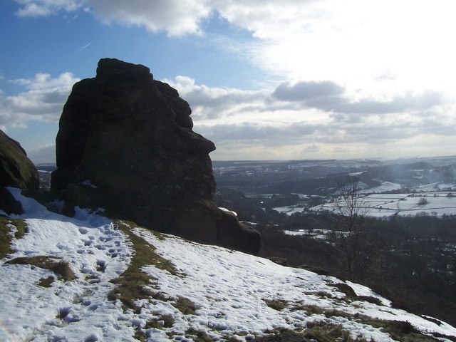
White Edge is a prominent hill located in Derbyshire, England. It forms part of the Peak District National Park, renowned for its stunning landscapes and picturesque beauty. Situated near the village of Baslow, White Edge stands at an elevation of approximately 365 meters (1,198 feet) above sea level, making it a popular destination for hikers, nature enthusiasts, and outdoor adventurers.

The hill is characterized by its long, wide, and gently sloping ridge, stretching for around 7 kilometers (4.3 miles) from north to south. It offers breathtaking panoramic views of the surrounding countryside, including the Chatsworth Estate, the Hope Valley, and the Dark Peak to the north.

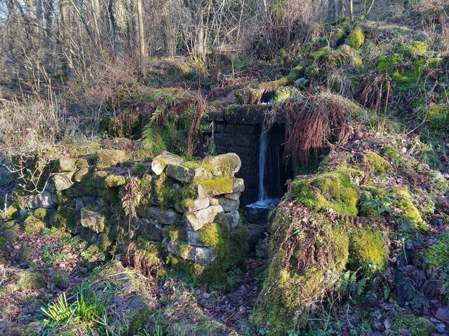
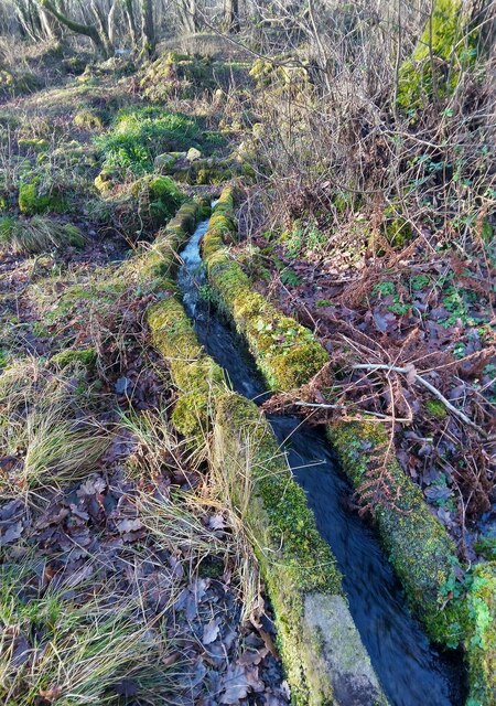
White Edge is composed primarily of gritstone, a coarse-grained sedimentary rock, which has been shaped over centuries by natural erosion, resulting in its distinctive undulating terrain. The hill is also home to several Bronze Age burial mounds, known as barrows, which provide a glimpse into the area's ancient history.

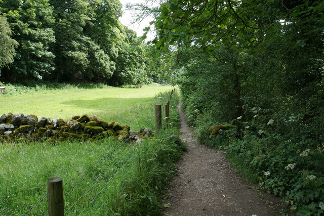
The hill is easily accessible, with a network of footpaths and trails allowing visitors to explore its diverse flora and fauna. The surrounding area is rich in wildlife, with the possibility of encountering birds of prey, such as kestrels and peregrine falcons, as well as various species of wildflowers and heather.

White Edge offers a range of outdoor activities, including walking, trail running, and rock climbing. Its gentle gradient and well-marked paths make it suitable for people of all fitness levels, while its stunning views make it a favorite spot for photographers and nature lovers alike.

If you have any feedback on the listing, please let us know in the comments section below.
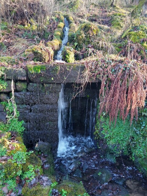
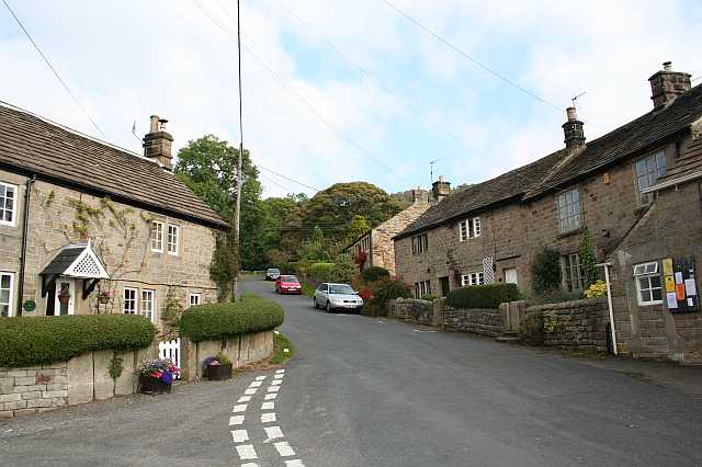
White Edge Images

Images are sourced within 2km of 53.28409/-1.6108248 or Grid Reference SK2676. Thanks to Geograph Open Source API. All images are credited.

The Chequers Inn Former Wards brewery pub beside the A625 in Froggatt
The Chequers Inn
Former Wards brewery pub beside the A625 in Froggatt
The sign of The Chequers Inn See <a href="https://www.geograph.org.uk/photo/6922975">SK2476 : The Chequers Inn</a>.
The sign of The Chequers Inn
Chequers Inn wall plaque Dating back to the halcyon days of the Wards brewery in Sheffield.  Oh to be able to drink a pint of that excellent brew again!
Chequers Inn wall plaque
Dating back to the halcyon days of the Wards brewery in Sheffield. Oh to be able to drink a pint of that excellent brew again!
Track in the Barbrook valley Bar Brook is beginning to cut a valley into Big Moor.
Track in the Barbrook valley
Bar Brook is beginning to cut a valley into Big Moor.
Bar Brook Looking upstream in the valley above Little Barbrook Reservoir.
Bar Brook
Looking upstream in the valley above Little Barbrook Reservoir.
Little Barbrook Reservoir A serene setting on Big Moor. The dam and outflow are ahead.
Little Barbrook Reservoir
A serene setting on Big Moor. The dam and outflow are ahead.
Track by Bar Brook Looking up the valley. Little Barbrook Reservoir is behind the trees ahead.
Track by Bar Brook
Looking up the valley. Little Barbrook Reservoir is behind the trees ahead.
Companion stone at Deadshaw Sick Part of a series of 12 artistic stones placed in 2010, as companions to nearby guide stoops. Bar Brook passes below this site.
Companion stone at Deadshaw Sick
Part of a series of 12 artistic stones placed in 2010, as companions to nearby guide stoops. Bar Brook passes below this site.
Barbrook 1 Stone Circle One of numerous neolithic remains on Big Moor. Bar Brook descends towards Baslow below.
Barbrook 1 Stone Circle
One of numerous neolithic remains on Big Moor. Bar Brook descends towards Baslow below.
River Derwent Very smooth flowing above Calver Weir.
River Derwent
Very smooth flowing above Calver Weir.
Froggatt Bridge Crossing the River Derwent. Grade II listed and mostly rebuilt in the 19th Century.
Froggatt Bridge
Crossing the River Derwent. Grade II listed and mostly rebuilt in the 19th Century.
River Derwent by New Bridge On the opposite side is the Shuttle House, for which the local authority conservation records are here: <span class="nowrap"><a title="https://her.derbyshire.gov.uk/Monument/MDR3974" rel="nofollow ugc noopener" href="https://her.derbyshire.gov.uk/Monument/MDR3974">Link</a><img style="margin-left:2px;" alt="External link" title="External link - shift click to open in new window" src="https://s1.geograph.org.uk/img/external.png" width="10" height="10"/></span>.
River Derwent by New Bridge
On the opposite side is the Shuttle House, for which the local authority conservation records are here: LinkExternal link.
Path by the River Derwent You can't see a great deal of the river through the foliage on the right.
Path by the River Derwent
You can't see a great deal of the river through the foliage on the right.
Ruins of mineral works A small leat made of stone slabs diverts stream water into an alcove at the back of the stone-built chamber. My guess is that the water operated a tilt hammer for crushing ores. Nearby I saw a spring which has deposited a lot of iron oxide on the rocks and coloured them orange.
Ruins of mineral works
A small leat made of stone slabs diverts stream water into an alcove at the back of the stone-built chamber. My guess is that the water operated a tilt hammer for crushing ores. Nearby I saw a spring which has deposited a lot of iron oxide on the rocks and coloured them orange.
Ruins of mineral works showing a leat This leat diverts stream water to a small chamber and then flows on through or possibly past a couple of other man-made stone structures. Nearby the colour of rust on some rocks immersed in flowing spring water suggests the presence of iron in the ground.
Ruins of mineral works showing a leat
This leat diverts stream water to a small chamber and then flows on through or possibly past a couple of other man-made stone structures. Nearby the colour of rust on some rocks immersed in flowing spring water suggests the presence of iron in the ground.
Ruins of mineral works The leat brings water to an alcove at the back of a stone-built structure, now in ruins. Was this water meant to turn a small overshot mill wheel or to operate a tilt hammer?
Ruins of mineral works
The leat brings water to an alcove at the back of a stone-built structure, now in ruins. Was this water meant to turn a small overshot mill wheel or to operate a tilt hammer?
Companion Stone on White Edge One of 12 stones placed close to ancient guide stoops in the Peak District in an arts project.
Companion Stone on White Edge
One of 12 stones placed close to ancient guide stoops in the Peak District in an arts project.
View from White Edge Looking over the Derwent Valley
View from White Edge
Looking over the Derwent Valley
Show me another place!

White Edge is located at Grid Ref: SK2676 (Lat: 53.28409, Lng: -1.6108248)

Administrative County: Derbyshire

District: Derbyshire Dales

Police Authority: Derbyshire

What 3 Words

///cubic.like.trickling. Near Baslow, Derbyshire

Nearby Locations

White Edge

Related Wikis

Curbar Edge

Curbar Edge is a gritstone moorland escarpment above the village of Curbar, in Derbyshire, England and close to the villages of Baslow, Calver, and Froggatt...

Froggatt Edge

Froggatt Edge is a gritstone escarpment in the Dark Peak area of the Peak District National Park, in Derbyshire, England, close to the villages of Froggatt...

Froggatt, Derbyshire

Froggatt is a village and a civil parish on the A625 road and the River Derwent in the English county of Derbyshire. The population of the civil parish...

Upper Derwent Valley

The Upper Derwent Valley is an area of the Peak District National Park in England. It largely lies in Derbyshire, but its north eastern area lies in Sheffield...

Nearby Amenities

Located within 500m of 53.28409,-1.6108248
The data included in this document is from www.openstreetmap.org. The data is made available under ODbL.

Have you been to White Edge?

Leave your review of White Edge below (or comments, questions and feedback).