Freeworms Hill
Hill, Mountain in Hampshire New Forest
England
Freeworms Hill
Freeworms Hill is a prominent geographical feature situated in the county of Hampshire, England. Although referred to as a hill, it is more accurately described as a small mountain due to its elevation and distinctive characteristics. Rising to a height of 310 meters (1,017 feet), it offers breathtaking panoramic views of the surrounding landscape.
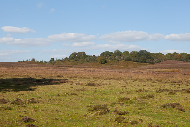
Located in the South Downs National Park, Freeworms Hill is nestled within a picturesque rural setting, characterized by rolling hills, lush green fields, and meandering streams. The hill is composed primarily of chalk, which gives it a distinct white appearance and contributes to its ecological significance.
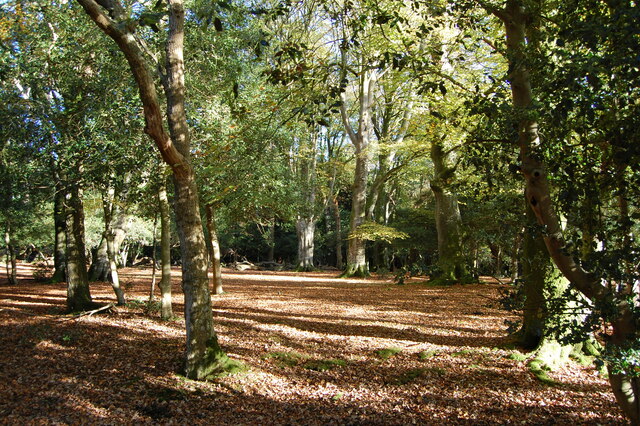
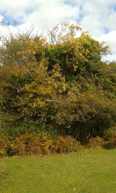
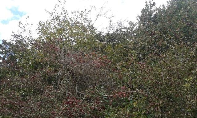
The area surrounding Freeworms Hill is home to a diverse range of flora and fauna, including several rare and protected species. The hillside is adorned with vibrant wildflowers during the spring and summer months, creating a stunning tapestry of colors. It also provides a habitat for a variety of bird species, making it a popular destination for birdwatchers.
For outdoor enthusiasts, Freeworms Hill offers numerous walking and hiking trails, allowing visitors to explore its scenic beauty up close. The South Downs Way, a long-distance footpath, passes through the area, providing opportunities for both leisurely strolls and more challenging hikes.
Historically, Freeworms Hill has played a role in the local community, serving as a landmark and providing a vantage point for surveying the surrounding countryside. Today, it continues to be a cherished natural feature, attracting visitors from far and wide who seek solace in its tranquil ambiance and stunning vistas.
If you have any feedback on the listing, please let us know in the comments section below.
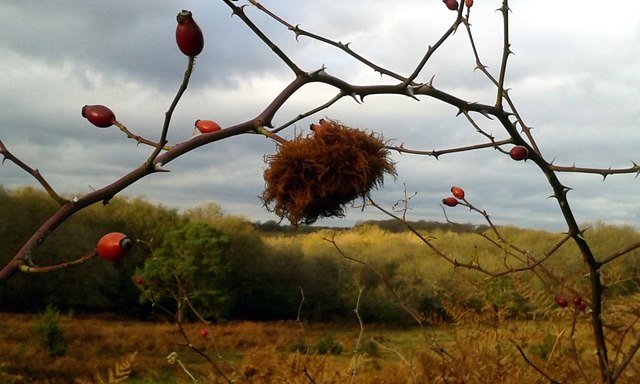
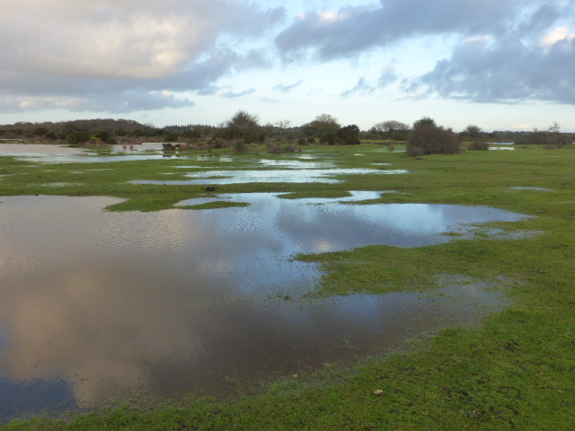
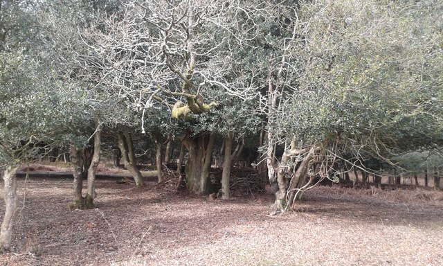
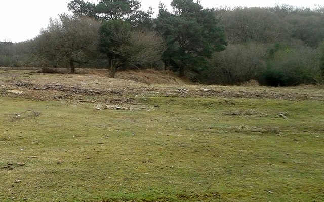
Freeworms Hill Images
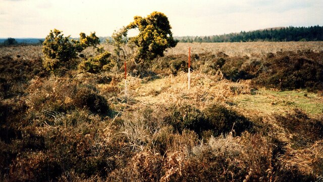
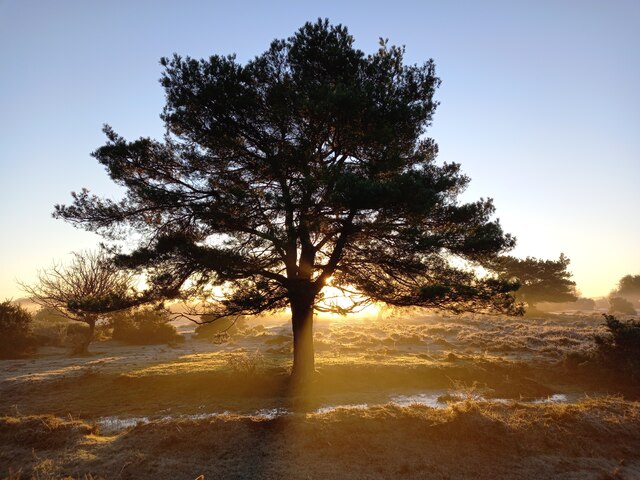
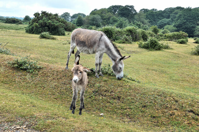
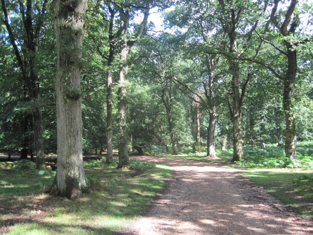
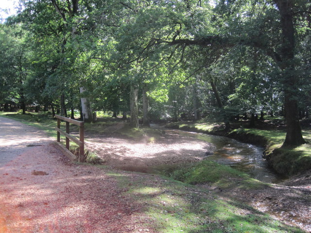
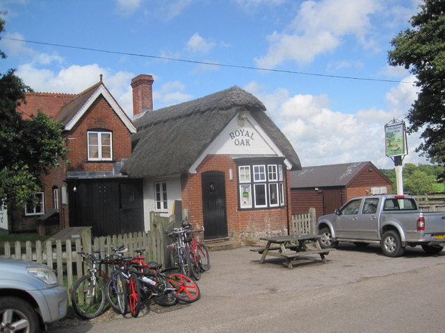
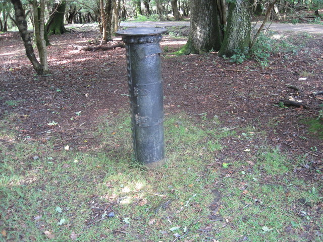
Images are sourced within 2km of 50.915982/-1.6807799 or Grid Reference SU2212. Thanks to Geograph Open Source API. All images are credited.
Freeworms Hill is located at Grid Ref: SU2212 (Lat: 50.915982, Lng: -1.6807799)
Administrative County: Hampshire
District: New Forest
Police Authority: Hampshire
What 3 Words
///reds.pony.candidate. Near Cadnam, Hampshire
Nearby Locations
Related Wikis

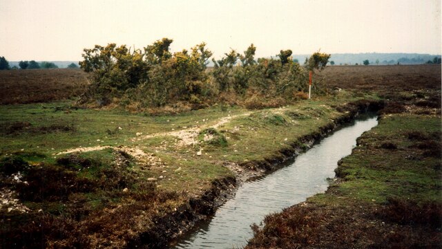
Ocknell Plain
Ocknell Plain can be found in the New Forest near Southampton, England. The area was used in World War II for the Stoney Cross airfield and it is now very...

RAF Stoney Cross
Royal Air Force Stoney Cross or more simply RAF Stoney Cross is a former Royal Air Force station in the New Forest, Hampshire, England. The airfield is...
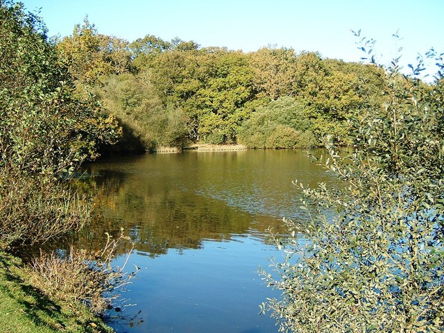
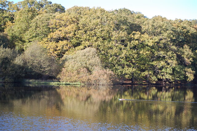
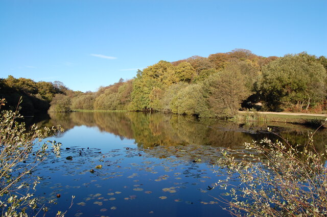
Eyeworth Pond
Eyeworth Pond is a pond located near Fritham in the New Forest, in Hampshire, England. The pond was created in 1871 by damming Latchmore Brook, with the...

Fritham
Fritham is a small village in Hampshire, England. It lies in the north of the New Forest, near the Wiltshire border. It is in the civil parish of Bramshaw...
Nearby Amenities
Located within 500m of 50.915982,-1.6807799Have you been to Freeworms Hill?
Leave your review of Freeworms Hill below (or comments, questions and feedback).