Hiscocks Hill
Hill, Mountain in Hampshire New Forest
England
Hiscocks Hill
Hiscocks Hill is a prominent landmark located in Hampshire, England. Situated in the picturesque countryside, this hill is part of the South Downs National Park, boasting stunning natural beauty and breathtaking panoramic views of the surrounding areas.
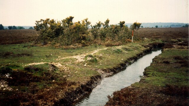
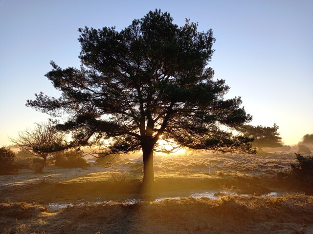
Rising to an elevation of approximately 240 meters (790 feet), Hiscocks Hill stands tall as an attractive destination for hikers and nature enthusiasts. Its gently sloping sides are covered in lush green grass, while patches of wildflowers add a burst of color to the landscape during the warmer months.
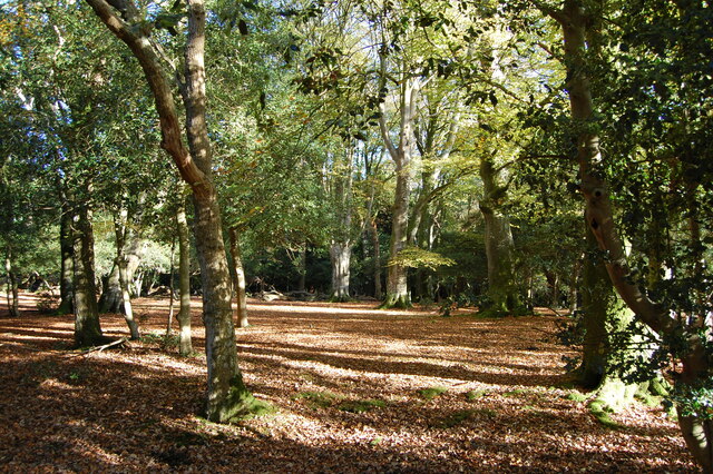
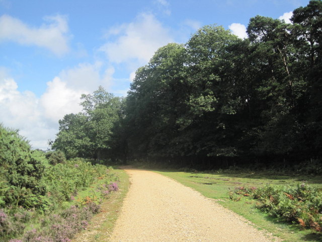
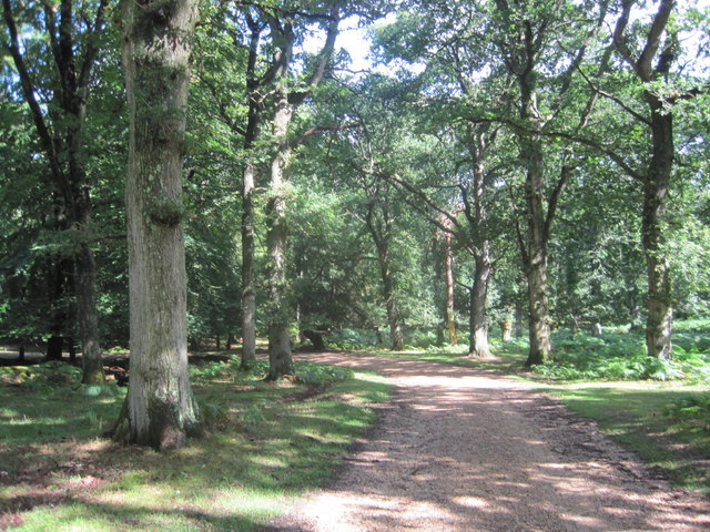
The hill offers numerous walking trails and footpaths, making it accessible to visitors of all abilities. These paths wind their way through woodlands, meadows, and open fields, providing opportunities for visitors to immerse themselves in the tranquil atmosphere and observe the local flora and fauna.
At the summit of Hiscocks Hill, visitors are rewarded with breathtaking views of the surrounding countryside. On a clear day, one can see for miles, capturing glimpses of rolling hills, charming villages, and even the distant coastline. This vantage point also attracts photography enthusiasts, who relish the chance to capture the picturesque scenery.
Hiscocks Hill is not only a natural gem but also holds historical significance. The hill is dotted with remnants of ancient settlements, including Iron Age hillforts and burial mounds, offering a glimpse into the area's rich past.
Overall, Hiscocks Hill is a captivating destination that showcases the beauty of Hampshire's countryside. Its natural charm, diverse wildlife, and historical importance make it a must-visit location for those seeking an unforgettable outdoor experience.
If you have any feedback on the listing, please let us know in the comments section below.
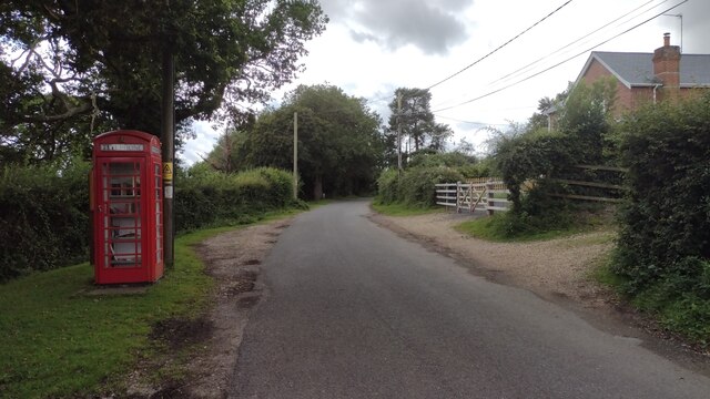
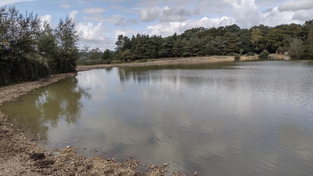
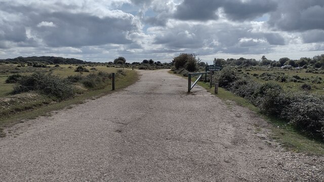
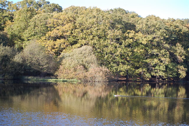
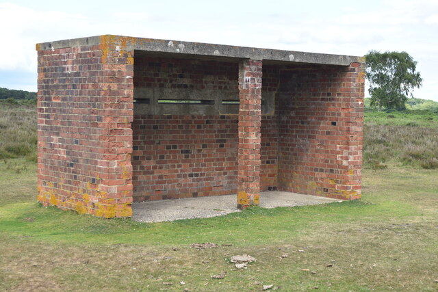
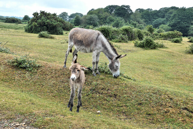
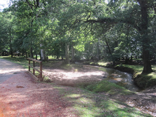
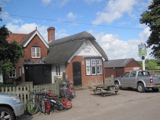
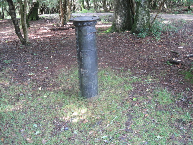
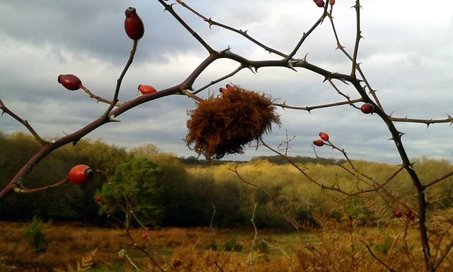
Hiscocks Hill Images
Images are sourced within 2km of 50.921989/-1.6807673 or Grid Reference SU2213. Thanks to Geograph Open Source API. All images are credited.


Hiscocks Hill is located at Grid Ref: SU2213 (Lat: 50.921989, Lng: -1.6807673)
Administrative County: Hampshire
District: New Forest
Police Authority: Hampshire
What 3 Words
///grounding.slugs.sweeping. Near Cadnam, Hampshire
Nearby Locations
Related Wikis
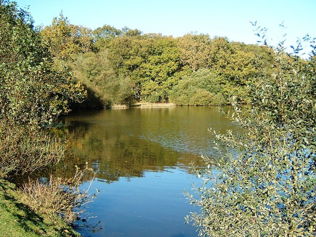
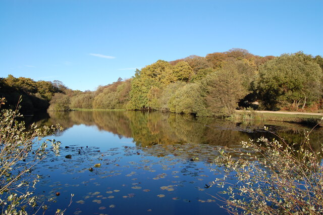
Eyeworth Pond
Eyeworth Pond is a pond located near Fritham in the New Forest, in Hampshire, England. The pond was created in 1871 by damming Latchmore Brook, with the...

Fritham
Fritham is a small village in Hampshire, England. It lies in the north of the New Forest, near the Wiltshire border. It is in the civil parish of Bramshaw...

RAF Stoney Cross
Royal Air Force Stoney Cross or more simply RAF Stoney Cross is a former Royal Air Force station in the New Forest, Hampshire, England. The airfield is...

Ocknell Plain
Ocknell Plain can be found in the New Forest near Southampton, England. The area was used in World War II for the Stoney Cross airfield and it is now very...

Ashley Range
Ashley Range is a former World War II bombing range in the New Forest, Hampshire, England. The range is approximately 5 mi (8.0 km) north-west of Lyndhurst...
Upper Canterton
Upper Canterton is a village in Hampshire, England, located at 50°54′36″N 1°37′24″W. It is near Minstead. == References == The geographic coordinates are...

Nomansland, Wiltshire
Nomansland is a small village in Wiltshire, England, close to the county border with Hampshire. It is part of the parish of Landford and lies about 3.5...

Ogdens
Ogdens is a small hamlet south of Hyde Common near Frogham in the New Forest area of Hampshire, England. Ogdens is a hamlet in the civil parish of Hyde...
Nearby Amenities
Located within 500m of 50.921989,-1.6807673Have you been to Hiscocks Hill?
Leave your review of Hiscocks Hill below (or comments, questions and feedback).