Broadway Bottom
Valley in Hampshire New Forest
England
Broadway Bottom
Broadway Bottom is a picturesque village situated in the county of Hampshire, in the scenic valley region. Nestled amidst the rolling hills and lush green meadows, it is known for its idyllic charm and tranquil atmosphere. The village is located approximately 10 miles southwest of Winchester, the county town of Hampshire.
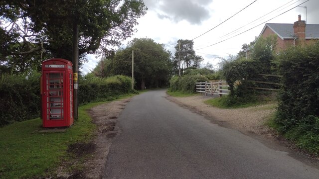
Broadway Bottom is a small, close-knit community with a population of around 500 residents. The village consists of charming thatched cottages and traditional stone houses, giving it a timeless appeal. The architecture reflects the village's rich history, which dates back several centuries.
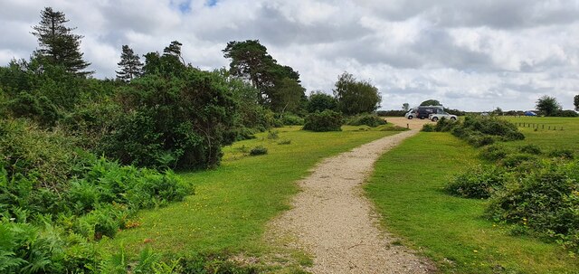
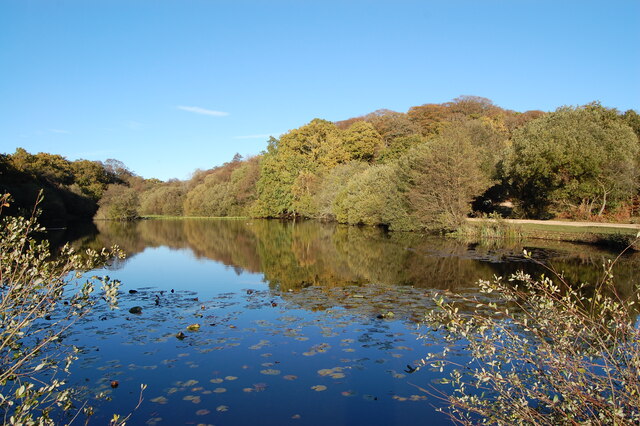
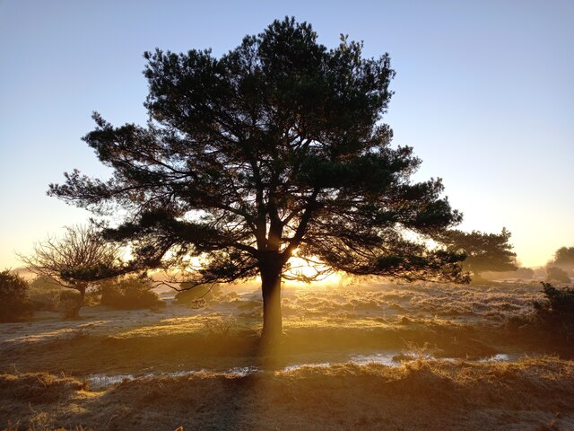
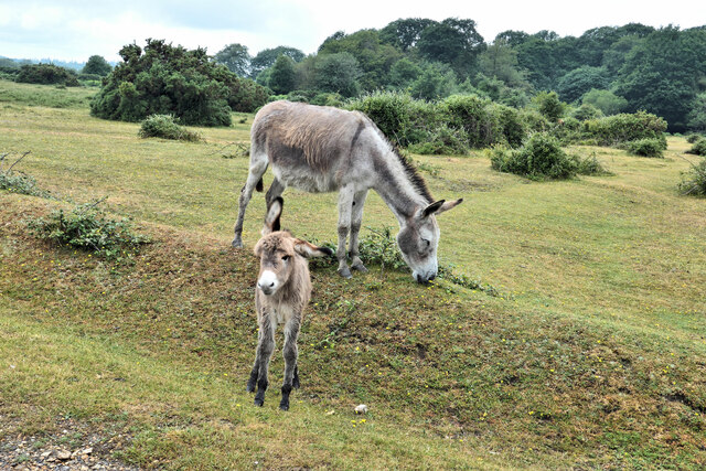
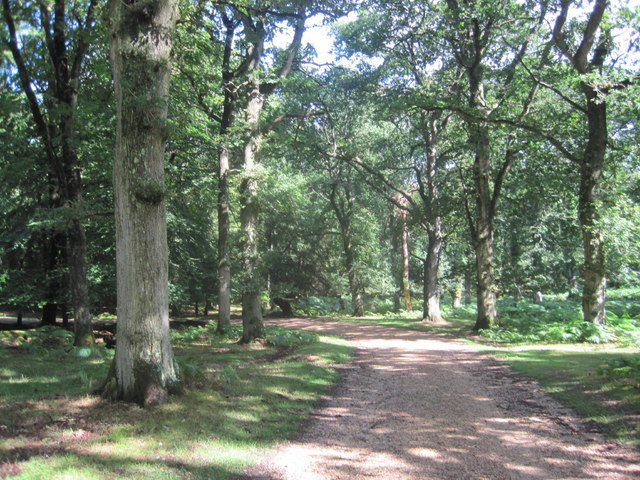
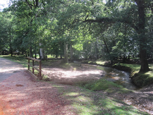
Surrounded by stunning natural beauty, Broadway Bottom offers ample opportunities for outdoor activities. The village is bordered by the River Itchen, providing scenic walks and fishing spots for enthusiasts. The surrounding countryside also offers picturesque trails for hiking and cycling, allowing visitors to explore the breathtaking landscapes.
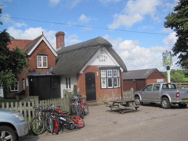
Despite its relatively small size, Broadway Bottom boasts a few amenities to cater to its residents' needs. These include a village hall, a local pub, and a small convenience store. For more extensive shopping and entertainment options, the nearby town of Winchester offers a wider range of facilities.
Broadway Bottom is a haven for those seeking a peaceful and serene lifestyle away from the hustle and bustle of city living. Its charming setting and natural beauty make it an appealing destination for tourists and a delightful place to call home for its residents.
If you have any feedback on the listing, please let us know in the comments section below.
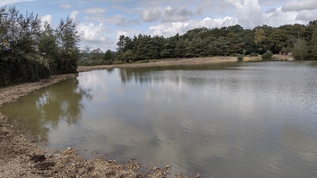
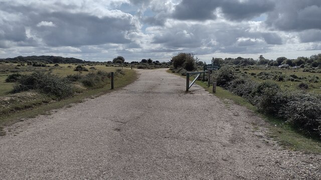
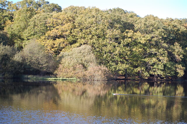
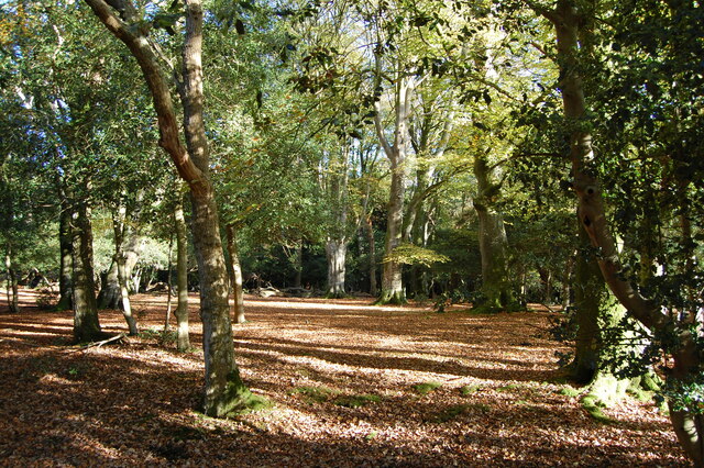
Broadway Bottom Images
Images are sourced within 2km of 50.914062/-1.6758714 or Grid Reference SU2212. Thanks to Geograph Open Source API. All images are credited.
Broadway Bottom is located at Grid Ref: SU2212 (Lat: 50.914062, Lng: -1.6758714)
Administrative County: Hampshire
District: New Forest
Police Authority: Hampshire
What 3 Words
///drifters.rollover.compounds. Near Cadnam, Hampshire
Nearby Locations
Related Wikis

Ocknell Plain
Ocknell Plain can be found in the New Forest near Southampton, England. The area was used in World War II for the Stoney Cross airfield and it is now very...

RAF Stoney Cross
Royal Air Force Stoney Cross or more simply RAF Stoney Cross is a former Royal Air Force station in the New Forest, Hampshire, England. The airfield is...

Fritham
Fritham is a small village in Hampshire, England. It lies in the north of the New Forest, near the Wiltshire border. It is in the civil parish of Bramshaw...
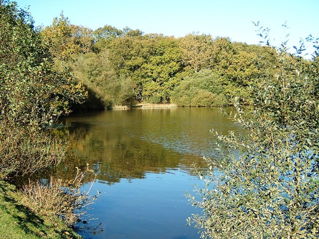
Eyeworth Pond
Eyeworth Pond is a pond located near Fritham in the New Forest, in Hampshire, England. The pond was created in 1871 by damming Latchmore Brook, with the...

Ashley Range
Ashley Range is a former World War II bombing range in the New Forest, Hampshire, England. The range is approximately 5 mi (8.0 km) north-west of Lyndhurst...
Upper Canterton
Upper Canterton is a village in Hampshire, England, located at 50°54′36″N 1°37′24″W. It is near Minstead. == References == The geographic coordinates are...

Brook, New Forest
Brook is a hamlet in the civil parish of Bramshaw, in Hampshire, England. It lies just inside the New Forest. The hamlet contains a mix of 18th and 19th...

Minstead
Minstead is a small village and civil parish in the New Forest, Hampshire, about 2 miles (3.2 km) north of Lyndhurst. There is a shop and a pub, the Trusty...
Nearby Amenities
Located within 500m of 50.914062,-1.6758714Have you been to Broadway Bottom?
Leave your review of Broadway Bottom below (or comments, questions and feedback).