Ponker Hill
Hill, Mountain in Yorkshire
England
Ponker Hill
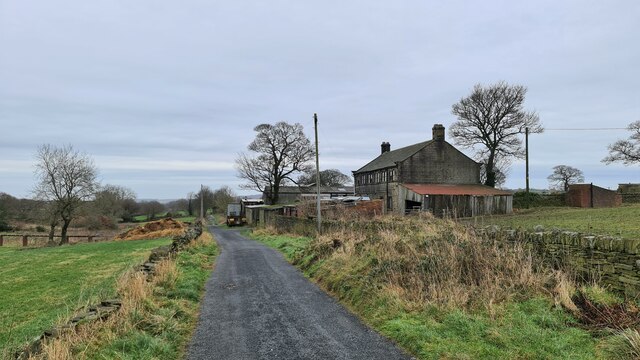
Ponker Hill is a prominent geographical feature located in the county of Yorkshire, England. Situated in the northeastern region of the county, Ponker Hill is classified as a hill rather than a mountain due to its elevation of around 300 meters above sea level. It is nestled within the picturesque North York Moors National Park, renowned for its stunning scenery and diverse wildlife.
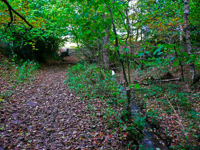
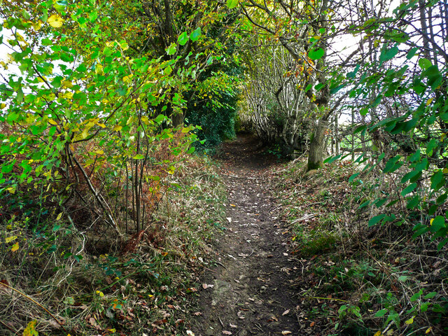
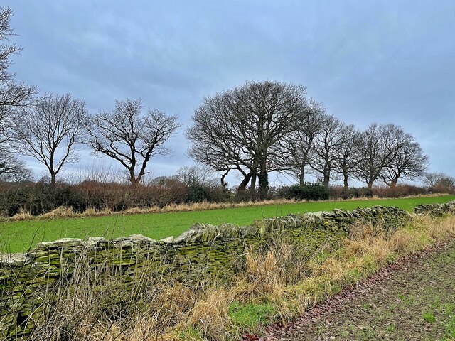
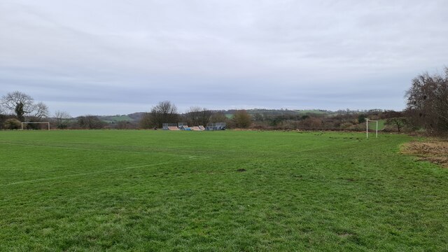
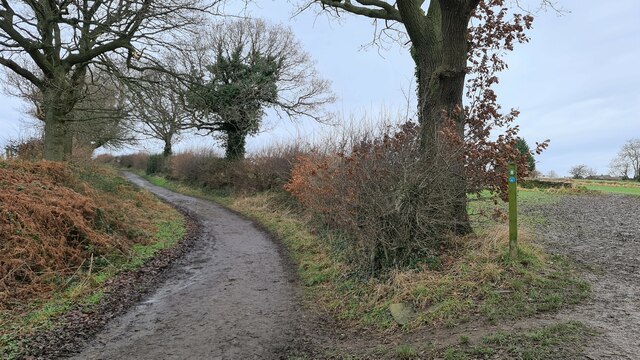
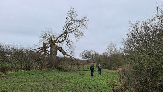
The hill offers visitors breathtaking panoramic views of the surrounding countryside, with its slopes covered in a patchwork of vibrant green fields, dense woodlands, and scattered grazing sheep. The ascent to the summit is relatively moderate, making it accessible to hikers and nature enthusiasts of varying skill levels.
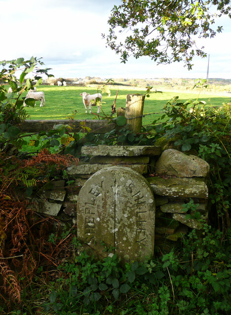
Ponker Hill is steeped in history, with evidence of human activity dating back thousands of years. The area is dotted with ancient archaeological sites, such as burial mounds and stone circles, bearing testament to its significance in prehistoric times. Additionally, the hill has also played a role in more recent history, serving as a strategic vantage point during conflicts such as the English Civil War.
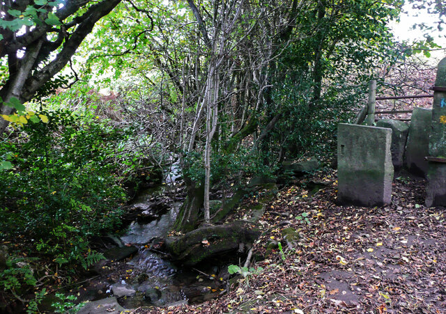
The hill boasts a rich biodiversity, providing a habitat for a variety of plant and animal species. Visitors may encounter various bird species, including skylarks and kestrels, as well as mammals like hares and deer. The surrounding woodlands are home to a diverse range of flora, including bluebells, primroses, and towering oak trees.
Overall, Ponker Hill offers a captivating blend of natural beauty, historical significance, and abundant wildlife, making it a must-visit destination for anyone exploring the Yorkshire region.
If you have any feedback on the listing, please let us know in the comments section below.
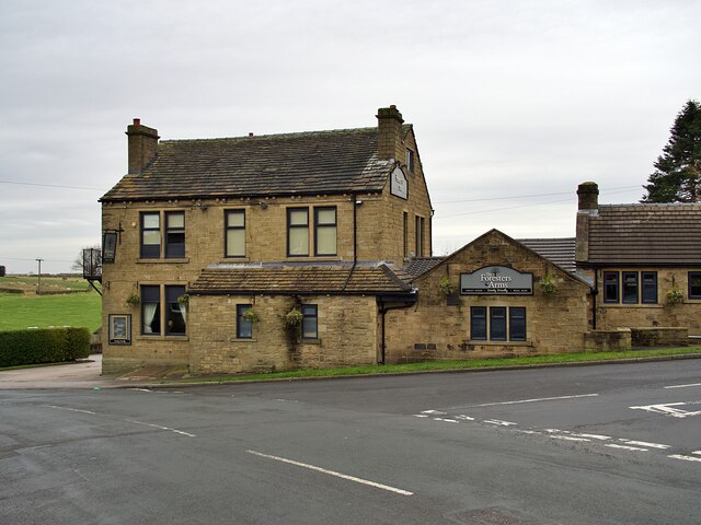
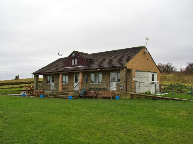
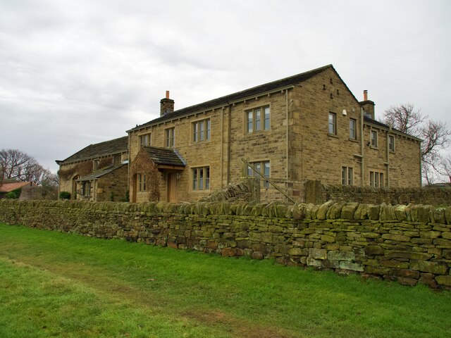
Ponker Hill Images
Images are sourced within 2km of 53.585681/-1.663288 or Grid Reference SE2209. Thanks to Geograph Open Source API. All images are credited.
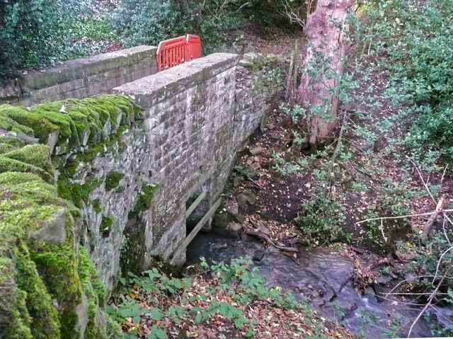
![Temporary fence on footbridge on High Moor Lane, Shepley In 2015 the wall had lost some capstones but was otherwise sound, see <a href="https://www.geograph.org.uk/photo/7011863">SE2009 : Footbridge on High Moor Lane, Shelley</a>], so I suspect vandalism.](https://s2.geograph.org.uk/geophotos/07/01/18/7011874_243d0327.jpg)
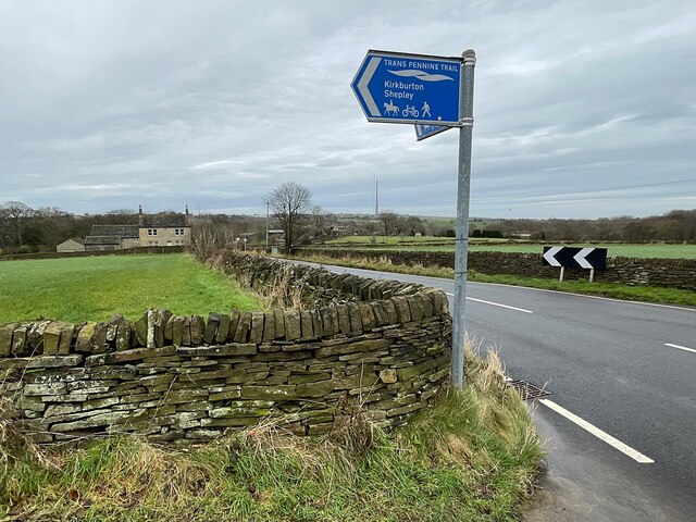
Ponker Hill is located at Grid Ref: SE2209 (Lat: 53.585681, Lng: -1.663288)
Division: West Riding
Unitary Authority: Kirklees
Police Authority: West Yorkshire
What 3 Words
///glove.sedated.squeaking. Near Denby Dale, West Yorkshire
Nearby Locations
Related Wikis

Shelley College
Shelley College (formerly known as Shelley High School) is a coeducational upper school and sixth form on the border between the villages of Shelley and...
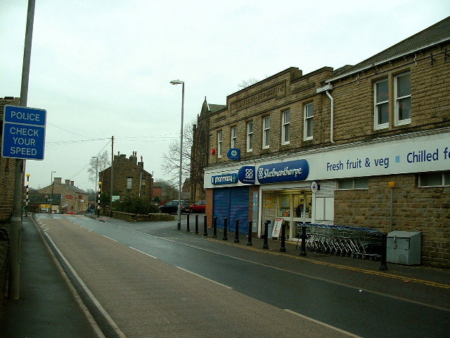
Skelmanthorpe
Skelmanthorpe is a village in the Denby Dale civil parish, in the metropolitan borough of Kirklees, in West Yorkshire, England. It is 8 miles (13 km)...
Lower Cumberworth
Lower Cumberworth is a village in the borough of Kirklees, West Yorkshire, England. The village is situated 8 miles (13 km) to the south-east of Huddersfield...
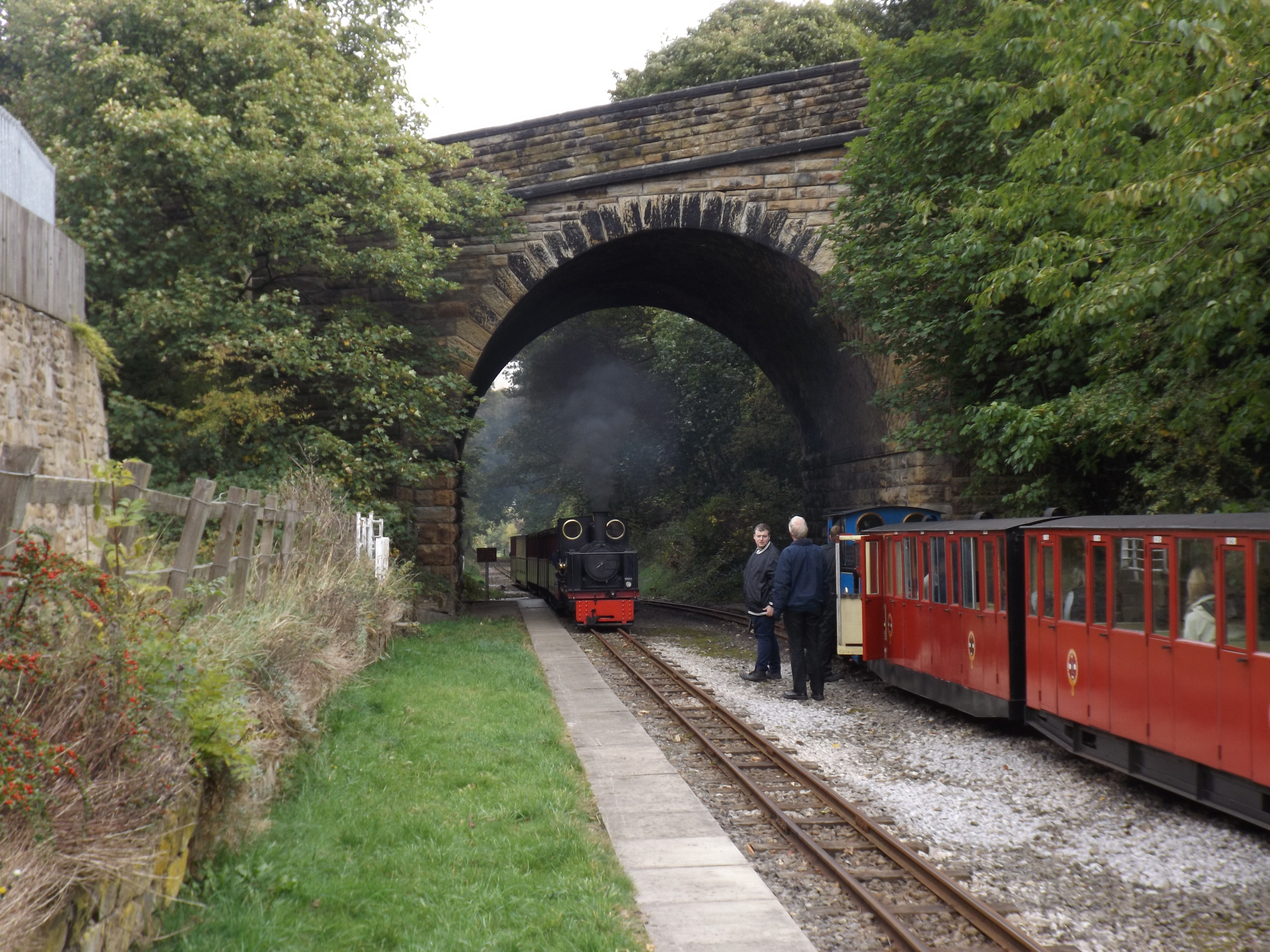
Skelmanthorpe railway station
Skelmanthorpe railway station is a station in West Yorkshire, England, that was previously part of the national rail network, and is now a station on the...
Nearby Amenities
Located within 500m of 53.585681,-1.663288Have you been to Ponker Hill?
Leave your review of Ponker Hill below (or comments, questions and feedback).