Lodge Hill

Hill, Mountain in Hampshire New Forest

England

Lodge Hill

On B3058
On B3058 Credit: Dave Thompson

Lodge Hill is a prominent hill located in the county of Hampshire, England. Rising to an elevation of approximately 210 meters (689 feet) above sea level, it forms part of the South Downs National Park. Due to its height and strategic location, the hill offers breathtaking panoramic views of the surrounding countryside.

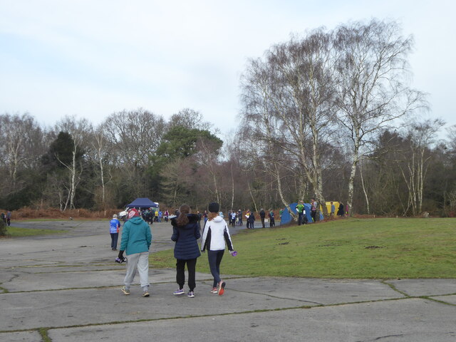
Situated near the village of Kingsclere, Lodge Hill is a popular destination for outdoor enthusiasts, hikers, and nature lovers. It is adorned with a diverse range of flora and fauna, making it a haven for wildlife. Visitors can expect to see an array of species including birds, butterflies, and small mammals as they explore the hill's extensive network of walking trails.

One of the notable features of Lodge Hill is the presence of ancient earthworks and archaeological remains. The hill is believed to have been settled since the Neolithic period, with evidence of human activity dating back thousands of years. These archaeological sites provide valuable insights into the region's rich historical past.

In addition to its natural beauty and historical significance, Lodge Hill offers a variety of recreational activities. Picnicking, birdwatching, and photography are popular pastimes on the hill. The site is also a fantastic spot for stargazing, owing to its relatively low light pollution.

Overall, Lodge Hill in Hampshire provides an idyllic escape from city life, offering visitors a chance to immerse themselves in nature, history, and unparalleled scenic views.

If you have any feedback on the listing, please let us know in the comments section below.
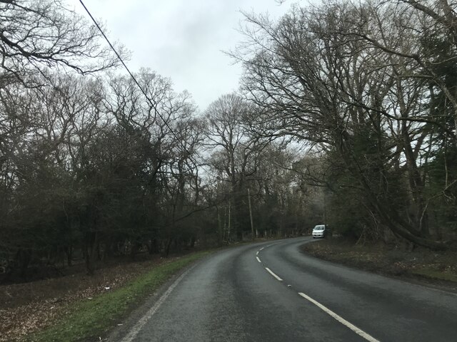
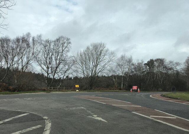
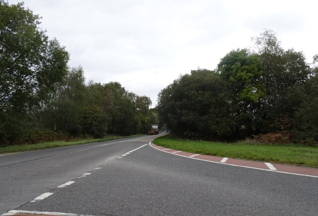
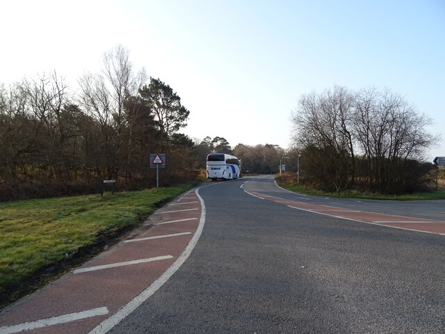
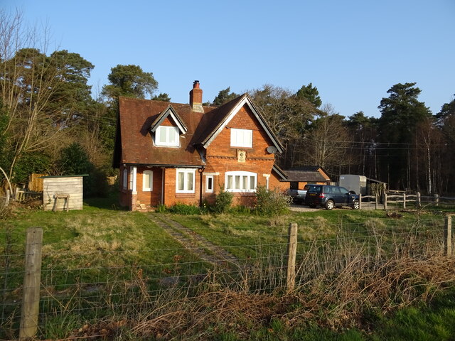
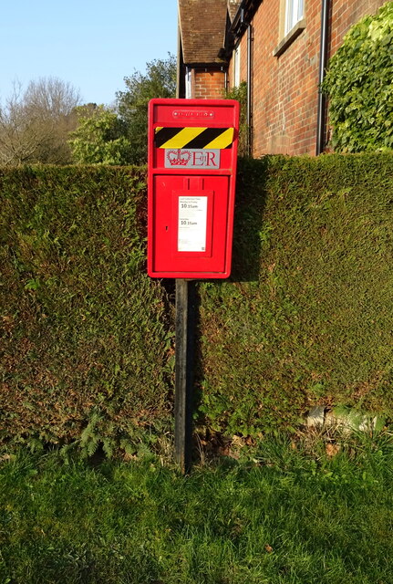
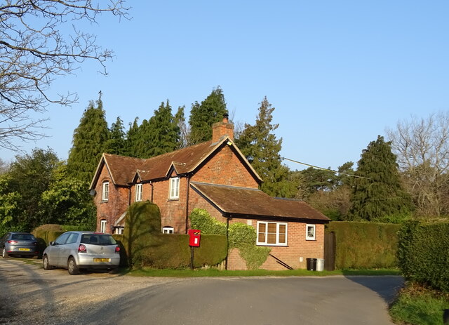
Lodge Hill Images

Images are sourced within 2km of 50.806469/-1.6831724 or Grid Reference SU2200. Thanks to Geograph Open Source API. All images are credited.

On B3058
On B3058
Road closure near Wootton
B3058 Junction The A35 road heads across the New Forest.
B3058 Junction
The A35 road heads across the New Forest.
A35 towards Lyndhurst  The A35 is a major (and regularly congested) route along England's south coast. It runs for 97 miles, connecting Honiton in Devon with Southampton in Hampshire, via Poole and Bournemouth, with much of its route passing through Dorset and the New Forest. It is a trunk road for some of its length.
<span class="nowrap"><a title="http://www.sabre-roads.org.uk/wiki/index.php?title=A35" rel="nofollow ugc noopener" href="http://www.sabre-roads.org.uk/wiki/index.php?title=A35">Link</a><img style="margin-left:2px;" alt="External link" title="External link - shift click to open in new window" src="https://s1.geograph.org.uk/img/external.png" width="10" height="10"/></span>  SABRE
A35 towards Lyndhurst
The A35 is a major (and regularly congested) route along England's south coast. It runs for 97 miles, connecting Honiton in Devon with Southampton in Hampshire, via Poole and Bournemouth, with much of its route passing through Dorset and the New Forest. It is a trunk road for some of its length. LinkExternal link SABRE
Trees beside the A35
Grazing, Plain Heath
A35 towards Lyndhurst
Grazing off the A35
Grazing off the A35
B3058 towards New Milton
Holmsley Toll House
Holmsley Toll House
Elizabeth II postbox on Holmsley Passage Postbox No. BH24 60.
Elizabeth II postbox on Holmsley Passage
Postbox No. BH24 60.
Cottage on Holmsley Passage Showing position of Postbox No. BH24 60.
Cottage on Holmsley Passage
Showing position of Postbox No. BH24 60.
Assembly area for an orienteering event at Holmsley Caravan and Camp Site
Services block at Holmsley Caravan and Camp Site
A35 near Little Wootton Inclosure An unimproved single carriageway section of the A35 runs in a north-easterly direction from the east end of the Christchurch bypass across the New Forest towards Lyndhurst.
A35 near Little Wootton Inclosure
An unimproved single carriageway section of the A35 runs in a north-easterly direction from the east end of the Christchurch bypass across the New Forest towards Lyndhurst.
Northbound A35 near to Wootton The A35 is a major (and regularly congested) route along England's south coast. It runs for 97 miles, connecting Honiton in Devon with Southampton in Hampshire, via Poole and Bournemouth, with much of its route passing through Dorset and the New Forest. It is a trunk road for some of its length.
<span class="nowrap"><a title="http://www.sabre-roads.org.uk/wiki/index.php?title=A35" rel="nofollow ugc noopener" href="http://www.sabre-roads.org.uk/wiki/index.php?title=A35">Link</a><img style="margin-left:2px;" alt="External link" title="External link - shift click to open in new window" src="https://s1.geograph.org.uk/img/external.png" width="10" height="10"/></span>  SABRE
Northbound A35 near to Wootton
The A35 is a major (and regularly congested) route along England's south coast. It runs for 97 miles, connecting Honiton in Devon with Southampton in Hampshire, via Poole and Bournemouth, with much of its route passing through Dorset and the New Forest. It is a trunk road for some of its length. LinkExternal link SABRE
South of Holmsley Inclosure
Path along the edge of Holmsley Inclosure
Show me another place!

Lodge Hill is located at Grid Ref: SU2200 (Lat: 50.806469, Lng: -1.6831724)

Administrative County: Hampshire

District: New Forest

Police Authority: Hampshire

What 3 Words

///timer.ushering.inhales. Near Burley, Hampshire

Related Wikis

Holmsley railway station

Holmsley is a closed railway station in the county of Hampshire which served rural settlements in the New Forest. == History == The station was opened...

RAF Holmsley South

Royal Air Force Holmsley South or more simply RAF Holmsley South is a former Royal Air Force station in Hampshire, England. The airfield is located approximately...

Burley, Hampshire

Burley is a village and civil parish in the New Forest, Hampshire, England. It has ancient origins and is now somewhat tourist-orientated. == The village... ==

All Saints' Church, Thorney Hill

All Saints' Church is a Church of England church in Thorney Hill, Hampshire, England. It was built in 1905–06 and has been a Grade I listed building since...

Nearby Amenities

Located within 500m of 50.806469,-1.6831724
Barrier: cattle_grid
Lat/Long: 50.8080904/-1.6868332
Ford: yes
Lat/Long: 50.8024564/-1.6828925
Ford: yes
Lat/Long: 50.8020238/-1.6825465
Parking
Holmsley
Lat/Long: 50.8093953/-1.6858067
Lodge Hill
Place: locality
Lat/Long: 50.8051845/-1.6812434
The data included in this document is from www.openstreetmap.org. The data is made available under ODbL.

Have you been to Lodge Hill?

Leave your review of Lodge Hill below (or comments, questions and feedback).