Clarendon Hill
Hill, Mountain in Wiltshire
England
Clarendon Hill
Clarendon Hill is a prominent natural feature located in the county of Wiltshire, England. Rising to an elevation of approximately 200 meters (656 feet), it is classified as a hill rather than a mountain due to its relatively modest height. Situated near the village of Clarendon, the hill is part of the North Wessex Downs Area of Outstanding Natural Beauty, renowned for its picturesque landscapes and diverse wildlife.
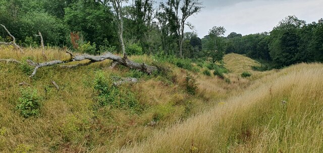
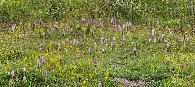
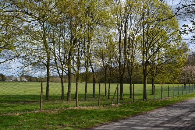
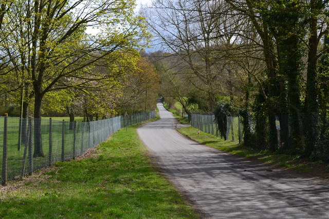
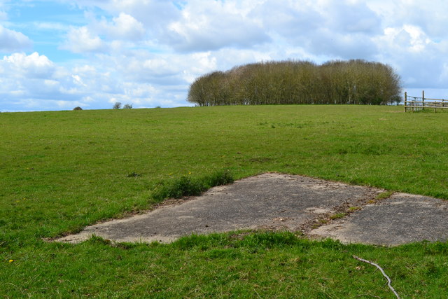
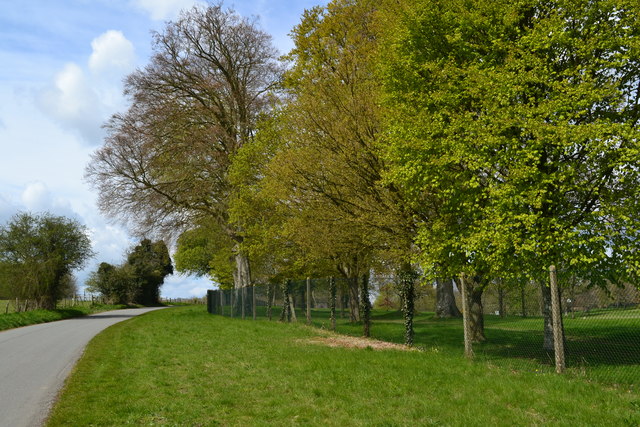
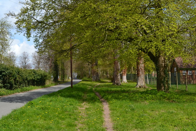
The hill is characterized by its gently sloping sides, which are covered with a mix of grassland and woodland. The summit offers breathtaking panoramic views of the surrounding countryside, including the nearby towns of Salisbury and Downton. It is a popular destination for hikers and nature enthusiasts, who come to enjoy the tranquility and beauty of the area.
One notable feature of Clarendon Hill is the presence of an ancient trail known as the Clarendon Way, which runs along its slopes. This trail stretches for approximately 40 miles, connecting the historic cities of Salisbury and Winchester. It attracts both avid walkers and history buffs, as it passes through several historically significant sites, such as Clarendon Palace, a former royal residence.
The hill also holds cultural and historical importance. It was the site of a famous meeting known as the Treaty of Clarendon in 1164, where King Henry II and Archbishop Thomas Becket attempted to settle their dispute. This event marked a significant turning point in the power struggle between the monarchy and the church.
Overall, Clarendon Hill offers visitors a unique blend of natural beauty, historical significance, and recreational opportunities. Whether one seeks a peaceful hike, stunning vistas, or a glimpse into the past, this Wiltshire landmark has much to offer.
If you have any feedback on the listing, please let us know in the comments section below.
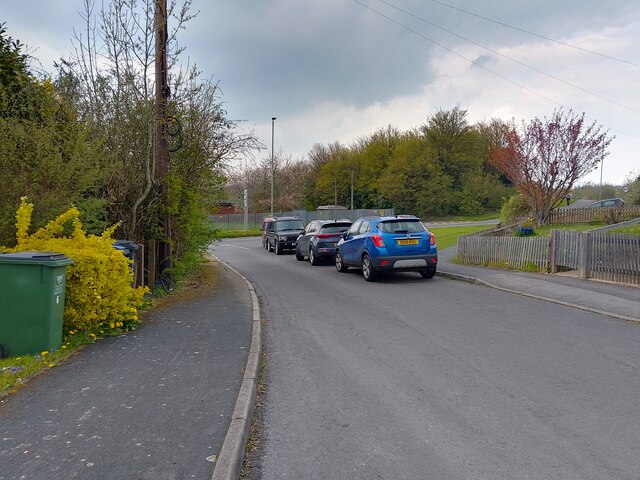
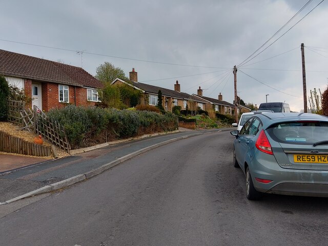
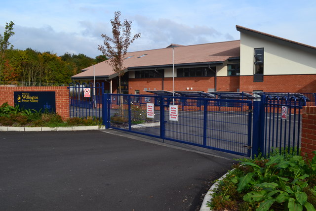
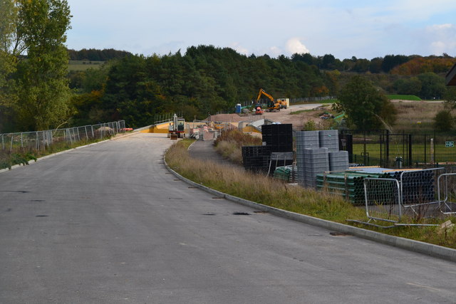
Clarendon Hill Images
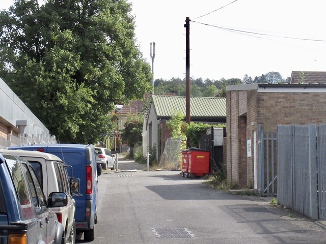
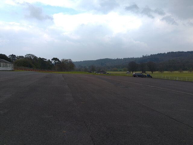
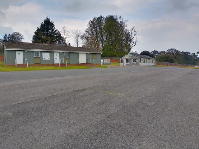
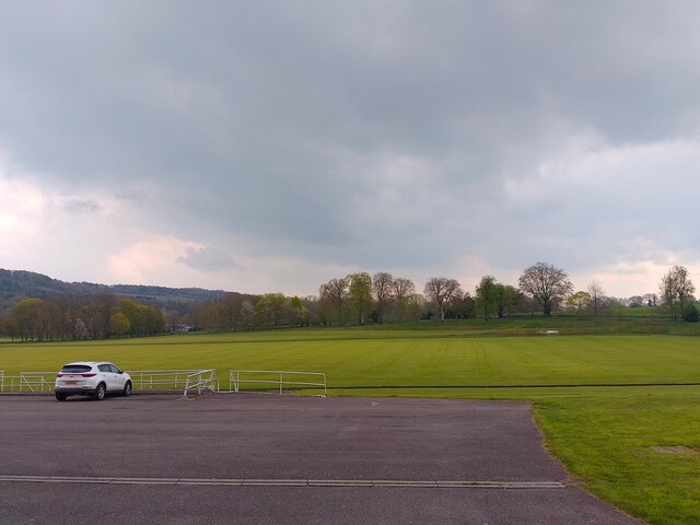
Images are sourced within 2km of 51.237665/-1.6800647 or Grid Reference SU2248. Thanks to Geograph Open Source API. All images are credited.
Clarendon Hill is located at Grid Ref: SU2248 (Lat: 51.237665, Lng: -1.6800647)
Unitary Authority: Wiltshire
Police Authority: Wiltshire
What 3 Words
///mixers.formation.inner. Near Tidworth, Wiltshire
Nearby Locations
Related Wikis
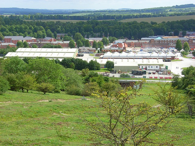
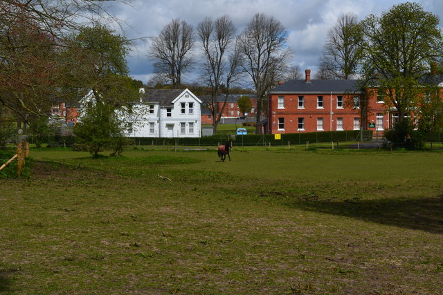
Tidworth Camp
Tidworth Camp is a military installation at Tidworth in Wiltshire, England. It forms part of the Tidworth, Netheravon and Bulford (TidNBul) Garrison....
Tidworth
Tidworth is a garrison town and civil parish in south-east Wiltshire, England, on the eastern edge of Salisbury Plain. Lying on both sides of the A338...

The Wellington Academy
The Wellington Academy, founded in 2009, is an 11–19 non-selective state-funded school near Ludgershall, Wiltshire, England. The school has academy status...

Tedworth House
Tedworth House, also known as South Tidworth House, is a 19th-century country house in Tidworth, Wiltshire, England. It is a Grade II* listed building...
Nearby Amenities
Located within 500m of 51.237665,-1.6800647Have you been to Clarendon Hill?
Leave your review of Clarendon Hill below (or comments, questions and feedback).