West Hill

Hill, Mountain in Wiltshire

England

West Hill

Snail Down, Wiltshire Looking west over Snail Down.
Snail Down, Wiltshire Credit: Rebecca A Wills

West Hill is a prominent geographical feature located in Wiltshire, England. Standing at an elevation of 277 meters (909 feet), it is classified as a hill rather than a mountain due to its height. The hill is situated in the southwestern part of the county, near the village of West Lavington.

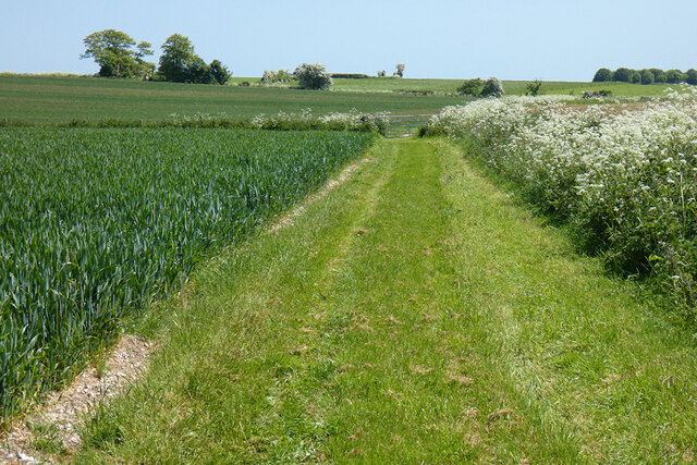
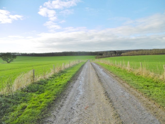
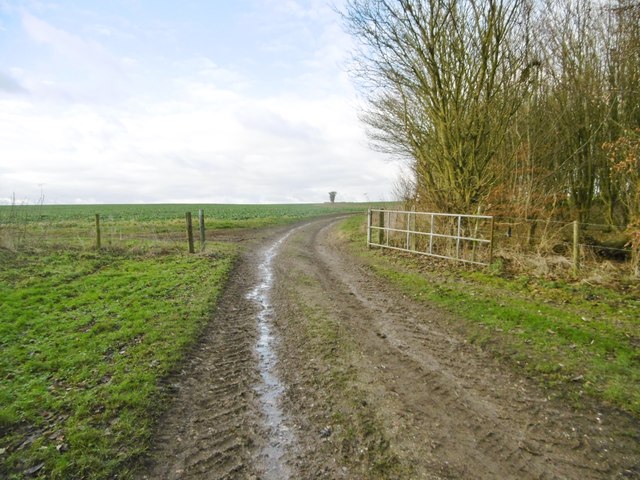
West Hill is characterized by its distinct shape and prominent position within the surrounding landscape. It boasts a gently sloping terrain and is mostly covered in grass and vegetation. The hill offers panoramic views of the picturesque countryside, including the rolling hills and valleys that define the region.

The hill is rich in historical significance, with evidence of human activity dating back to the Neolithic period. Archaeological discoveries have revealed the presence of burial mounds and ancient settlements in the vicinity, attesting to its long-standing importance to local communities.

Today, West Hill is a popular destination for outdoor enthusiasts and nature lovers. It provides ample opportunities for hiking, walking, and wildlife observation. The area surrounding the hill is also home to a diverse range of flora and fauna, including several species of birds and small mammals.

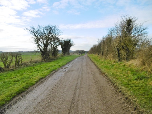
Access to West Hill is relatively easy, with footpaths and trails leading to its summit. The hill is well-connected to nearby towns and villages, allowing visitors to easily explore the surrounding areas. Whether for recreational purposes or historical exploration, West Hill offers a unique and rewarding experience for all who venture to its summit.

If you have any feedback on the listing, please let us know in the comments section below.
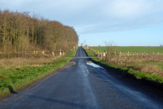
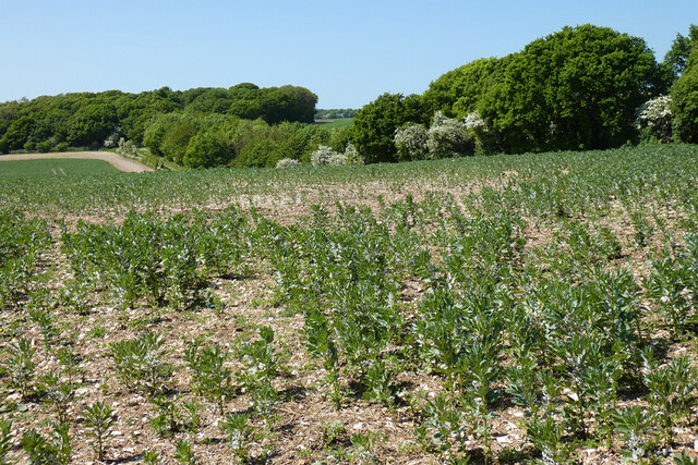
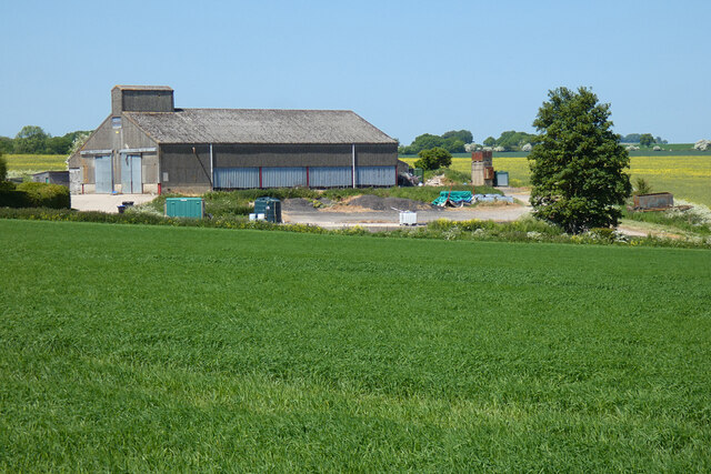
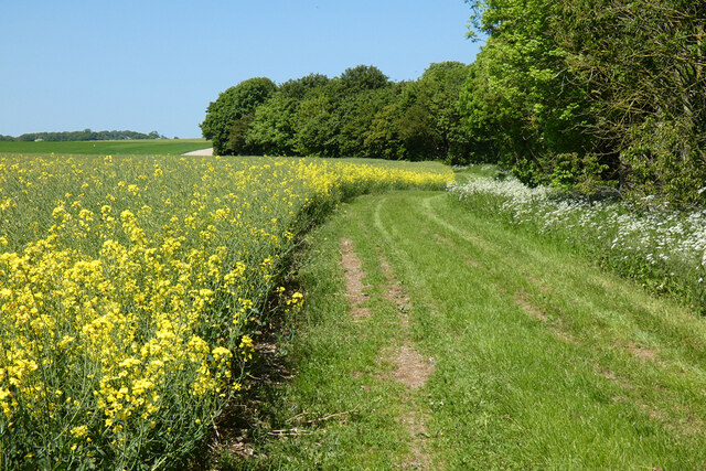
West Hill Images

Images are sourced within 2km of 51.283694/-1.6797309 or Grid Reference SU2253. Thanks to Geograph Open Source API. All images are credited.

Snail Down, Wiltshire Looking west over Snail Down.
Snail Down, Wiltshire
Looking west over Snail Down.
Tank crossing on Marlborough Road The land to either side is a military training area.
Tank crossing on Marlborough Road
The land to either side is a military training area.
Farmland, Collingbourne Kingston A crop of beans and the copse on Thornhill Down.
Farmland, Collingbourne Kingston
A crop of beans and the copse on Thornhill Down.
Barn and farmland, Collingbourne Kingston At Summer Down Farm and viewed from the byway to the south.
Barn and farmland, Collingbourne Kingston
At Summer Down Farm and viewed from the byway to the south.
Farmland, Collingbourne Kingston A byway follows the field's edge beside oil-seed rape.
Farmland, Collingbourne Kingston
A byway follows the field's edge beside oil-seed rape.
Farmland, Collingbourne Kingston A byway beside wheat above Westhill Farm.  Motorists have been asked to desist voluntarily from using this stretch of track and  its surface is much smoother than 11 years earlier <a title="https://www.geograph.org.uk/photo/2915349" href="https://www.geograph.org.uk/photo/2915349">Link</a>.
Farmland, Collingbourne Kingston
A byway beside wheat above Westhill Farm. Motorists have been asked to desist voluntarily from using this stretch of track and its surface is much smoother than 11 years earlier Link.
Farmland, Collingbourne Ducis Barley and Hazelberry Plantation viewed from the road on West Hill.
Farmland, Collingbourne Ducis
Barley and Hazelberry Plantation viewed from the road on West Hill.
Pasture, Everleigh Cattle grazing on farmed MOD land to the east of the village.
Pasture, Everleigh
Cattle grazing on farmed MOD land to the east of the village.
Collingbourne Kingston, Parsonage Farm Cattle farm on Mill Drove.
Collingbourne Kingston, Parsonage Farm
Cattle farm on Mill Drove.
Collingbourne Kingston, cattle shed At Parsonage Farm.
Collingbourne Kingston, cattle shed
At Parsonage Farm.
Collingbourne Kingston, farm road After Parsonage Farm, Mill Drove continues, to serve a barn, before becoming a byway heading towards Everleigh.
Collingbourne Kingston, farm road
After Parsonage Farm, Mill Drove continues, to serve a barn, before becoming a byway heading towards Everleigh.
Collingbourne Kingston, barn At the end of Mill Drove. Like others nearby, the barn is choc-a-bloc with straw.
Collingbourne Kingston, barn
At the end of Mill Drove. Like others nearby, the barn is choc-a-bloc with straw.
Collingbourne Kingston, byway Byway and farm road, the continuation of Mill Drove, heading towards Everleigh.
Collingbourne Kingston, byway
Byway and farm road, the continuation of Mill Drove, heading towards Everleigh.
Collingbourne Kingston, barn On the byway towards Everleigh; like others nearby, choc-a-bloc with bales.
Collingbourne Kingston, barn
On the byway towards Everleigh; like others nearby, choc-a-bloc with bales.
Collingbourne Kingston, bird feeder Next to a copse on the byway to the village. Patches of woodland in the area are rich in feeders, and pheasants and partridges often seen.
Collingbourne Kingston, bird feeder
Next to a copse on the byway to the village. Patches of woodland in the area are rich in feeders, and pheasants and partridges often seen.
Collingbourne Kingston, byway The continuation of Mill Drove, across cropland towards Everleigh.
Collingbourne Kingston, byway
The continuation of Mill Drove, across cropland towards Everleigh.
Collingbourne Kingston, clamp Silage maturing under a nylon sheet secured with old tyres.
Collingbourne Kingston, clamp
Silage maturing under a nylon sheet secured with old tyres.
Collingbourne Kingston, gate On the byway towards Everleigh; leaving cereal planting for brassicas.
Collingbourne Kingston, gate
On the byway towards Everleigh; leaving cereal planting for brassicas.
Show me another place!

West Hill is located at Grid Ref: SU2253 (Lat: 51.283694, Lng: -1.6797309)

Unitary Authority: Wiltshire

Police Authority: Wiltshire

What 3 Words

///rats.deserved.tailwind. Near Collingbourne Kingston, Wiltshire

Nearby Locations

West Hill

Related Wikis

Collingbourne Ducis

Collingbourne Ducis is a village and civil parish on Salisbury Plain in Wiltshire, England, about 10 miles (16 km) south of Marlborough. It is one of several...

Everleigh, Wiltshire

Everleigh, pronounced and also sometimes spelt Everley, is a village and civil parish in east Wiltshire, England, about 4+1⁄2 miles (7 km) southeast of...

Collingbourne railway station

Collingbourne railway station served the village of Collingbourne Ducis in Wiltshire, England. It was on the Midland and South Western Junction Railway...

Collingbourne Kingston

Collingbourne Kingston is a village and civil parish about 8 miles (13 km) south of the market town of Marlborough in Wiltshire, England. The village,...

Have you been to West Hill?

Leave your review of West Hill below (or comments, questions and feedback).