Cumberworth, Lower

Settlement in Yorkshire

England

Cumberworth, Lower

High Moor Lane, Shepley
High Moor Lane, Shepley Credit: Humphrey Bolton

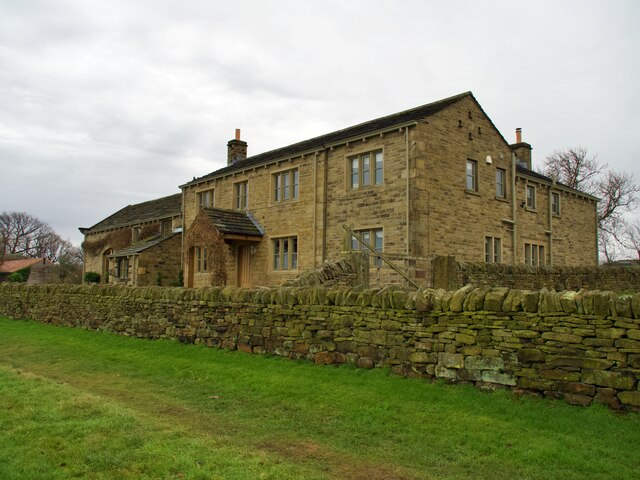
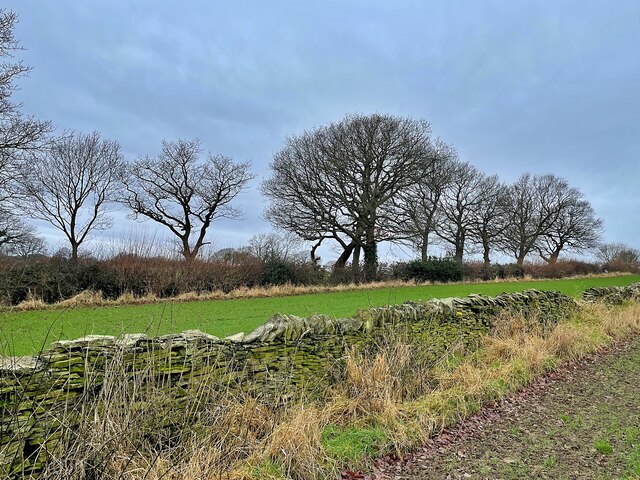
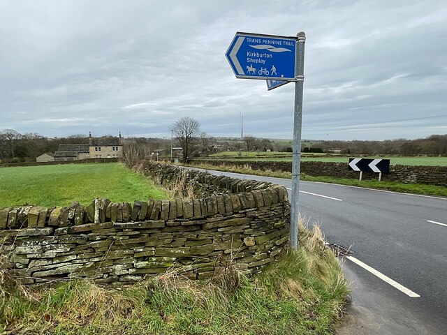
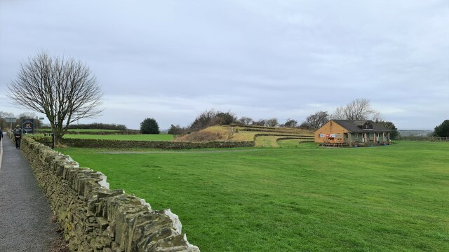
Cumberworth, Lower is a small village located in the county of Yorkshire, England. Situated in the picturesque countryside, it is part of the larger civil parish of Cumberworth. The village is nestled amidst rolling hills and open fields, offering residents and visitors a tranquil and scenic environment.

With a population of around 1,000 people, Cumberworth, Lower maintains a close-knit community atmosphere. The village is known for its friendly and welcoming residents, who take pride in preserving the area's traditional charm. The local economy is primarily based on agriculture, with many residents being involved in farming and livestock rearing.

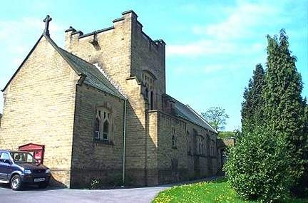
Cumberworth, Lower is home to several historic buildings and landmarks. St. Nicholas' Church, a beautiful Grade II listed building, stands as a prominent feature in the village. This architectural gem dates back to the 12th century and serves as a reminder of the area's rich history. Additionally, the village has a primary school, providing education for the local children.

Although small in size, Cumberworth, Lower offers various amenities to its residents. The village has a community center that hosts events and gatherings, fostering a sense of community spirit. There is also a local pub, serving as a meeting place for villagers and a hub of social activity.

For those seeking recreational activities, the surrounding countryside offers ample opportunities for walking, cycling, and exploring nature. The village is also conveniently located near larger towns and cities, allowing residents easy access to a wider range of amenities and services.

In summary, Cumberworth, Lower is a charming village in Yorkshire, characterized by its idyllic countryside setting, friendly community, and rich history. It provides a peaceful retreat for those seeking a slower-paced lifestyle while still retaining access to essential facilities.

If you have any feedback on the listing, please let us know in the comments section below.

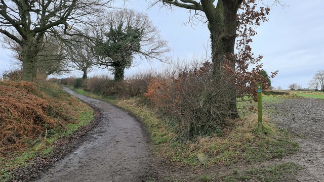
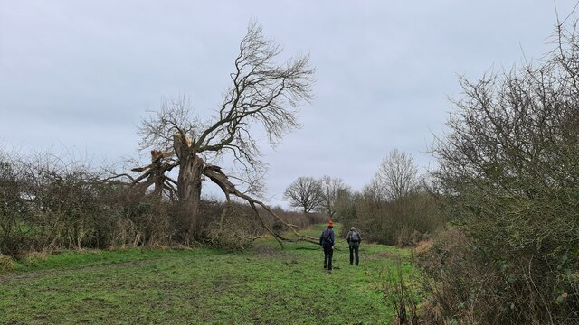
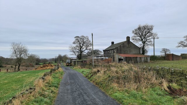
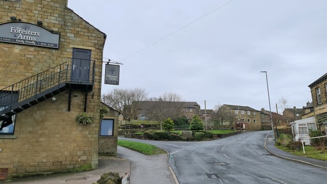
Cumberworth, Lower Images

Images are sourced within 2km of 53.582509/-1.66313 or Grid Reference SE2209. Thanks to Geograph Open Source API. All images are credited.
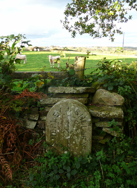
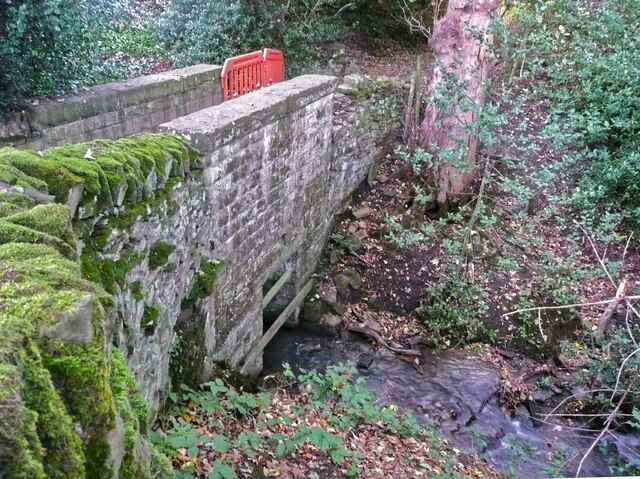
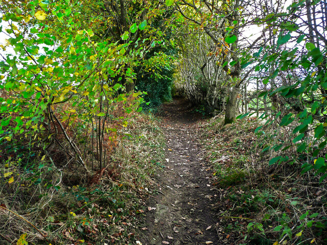
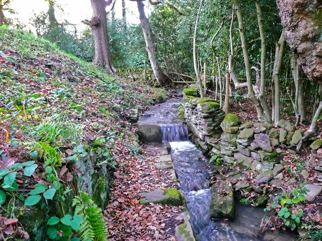
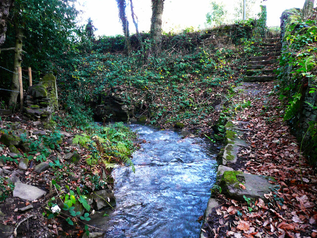
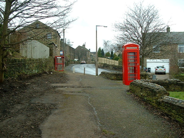
High Moor Lane, Shepley
Boundary stone, High Moor Lane, Shepley / Shelley This stone is not shown on old 1:2500 maps, although others are shown on the boundary. The boundary is along the centre of the lane between two watercourse crossings. Shelley and Shepley Local Boards made an agreement for the joint repair of High Moor Lane in August 1891 (Huddersfield Chronicle via Huddersfield Exposed). As this stone is approximately half-way along the lane between the watercourses perhaps the two local boards decided share the responsibility by dividing the length of lane into two.
Boundary stone, High Moor Lane, Shepley / Shelley
This stone is not shown on old 1:2500 maps, although others are shown on the boundary. The boundary is along the centre of the lane between two watercourse crossings. Shelley and Shepley Local Boards made an agreement for the joint repair of High Moor Lane in August 1891 (Huddersfield Chronicle via Huddersfield Exposed). As this stone is approximately half-way along the lane between the watercourses perhaps the two local boards decided share the responsibility by dividing the length of lane into two.
Footbridge on High Moor Lane, Shelley This is a substantial stone structure, one quarter of which is in Shepley and three quarters in Shelley. The boundary comes down the centre of the stream and then turns left along the centre of the lane.
Footbridge on High Moor Lane, Shelley
This is a substantial stone structure, one quarter of which is in Shepley and three quarters in Shelley. The boundary comes down the centre of the stream and then turns left along the centre of the lane.
Temporary fence on footbridge on High Moor Lane, Shepley In 2015 the wall had lost some capstones but was otherwise sound, see <a href="https://www.geograph.org.uk/photo/7011863">SE2009 : Footbridge on High Moor Lane, Shelley</a>], so I suspect vandalism.
Temporary fence on footbridge on High Moor Lane, Shepley
In 2015 the wall had lost some capstones but was otherwise sound, see SE2009 : Footbridge on High Moor Lane, Shelley], so I suspect vandalism.
Small waterfall on a stream at Copley House, Shelley This man-made waterfall has a paved path going to it. Maybe at was a water supply, or a place to wash items.
Small waterfall on a stream at Copley House, Shelley
This man-made waterfall has a paved path going to it. Maybe at was a water supply, or a place to wash items.
Steps down to stream from Copley Lane, Shelley These lead to the little waterfall shown in [<a href="https://www.geograph.org.uk/photo/7011882">SE2009 : Small waterfall on a stream at Copley House, Shelley</a>.
Steps down to stream from Copley Lane, Shelley
These lead to the little waterfall shown in [SE2009 : Small waterfall on a stream at Copley House, Shelley.
Woodland off Copley Lane, Shelley The stream shown in <a href="https://www.geograph.org.uk/photo/7011892">SE2009 : Steps down to stream from Copley Lane, Shelley</a> flows down below these trees, and presumably in culvert under the railway embankment. Then it goes to Barncliffe Mills.
Woodland off Copley Lane, Shelley
The stream shown in SE2009 : Steps down to stream from Copley Lane, Shelley flows down below these trees, and presumably in culvert under the railway embankment. Then it goes to Barncliffe Mills.
The Foresters Arms Public house and restaurant in Lower Cumberworth
The Foresters Arms
Public house and restaurant in Lower Cumberworth
Cumberworth United Cricket Club Pavilion
Long Royd Farm
Long Royd Farm
Drystone wall in need of repair
Trans Pennine Trail direction signage At the junction of a minor road and bridleway.
Trans Pennine Trail direction signage
At the junction of a minor road and bridleway.
Recreation Ground, Skelmanthorpe
Gilthwaites Lane
Gilthwaites Lane
How the mighty have fallen Ash died back
How the mighty have fallen
Ash died back
Lane Hackings Green
Lane Hackings Green
Cumberworth Lane, Lower Cumberworth
Cumberworth United Cricket Club ground
Show me another place!

Cumberworth, Lower is located at Grid Ref: SE2209 (Lat: 53.582509, Lng: -1.66313)

Division: West Riding

Unitary Authority: Kirklees

Police Authority: West Yorkshire

What 3 Words

///advancing.question.shaves. Near Denby Dale, West Yorkshire

Related Wikis

Lower Cumberworth

Lower Cumberworth is a village in the borough of Kirklees, West Yorkshire, England. The village is situated 8 miles (13 km) to the south-east of Huddersfield...

Shelley College

Shelley College (formerly known as Shelley High School) is a coeducational upper school and sixth form on the border between the villages of Shelley and...

Denby Dale railway station

Denby Dale railway station serves the village of Denby Dale, in West Yorkshire, England and the surrounding area. It lies on the Penistone Line 9.5 miles...

Denby Dale

Denby Dale is a village and civil parish in the metropolitan borough of Kirklees in West Yorkshire, England. It is 10 miles (17 km) to the south-east of...

Nearby Amenities

Located within 500m of 53.582509,-1.66313
Bus Stop
Ponker Lane Shelley Woodhouse Lane
Bus: yes
Local Ref: 45020792
Naptan AtcoCode: 450020792
Naptan Bearing: NE
Naptan CommonName: Ponker Lane Shelley Woodhouse Lane
Naptan Crossing: Shelley Woodhouse Lane
Naptan Indicator: Stop 45020792
Naptan Landmark: Cumberworth Common
Naptan PlusbusZoneRef: LEEDS
Naptan ShortCommonName: Shelley Woodhouse
Naptan Street: Ponker Lane
Naptan Verified: no
Public Transport: platform
Source: naptan_import
Lat/Long: 53.5838519/-1.6662766
Bus Stop
Lower Cumberworth Foresters
Bus: yes
Local Ref: 45020793
Naptan AtcoCode: 450020793
Naptan Bearing: N
Naptan CommonName: Lower Cumberworth Foresters
Naptan Crossing: Greenside
Naptan Indicator: Stop 45020793
Naptan Landmark: Foresters Arms PH
Naptan PlusbusZoneRef: LEEDS
Naptan ShortCommonName: Greenside
Naptan Street: Shelley Woodhouse Lane
Naptan Verified: no
Public Transport: platform
Source: naptan_import
Lat/Long: 53.5817386/-1.6659156
Bus Stop
Lower Cumberworth Cumberworth Lane
Bus: yes
Local Ref: 45020794
Naptan AtcoCode: 450020794
Naptan Bearing: S
Naptan CommonName: Lower Cumberworth Cumberworth Lane
Naptan Crossing: Cumberworth Lane
Naptan Indicator: Stop 45020794
Naptan Landmark: Foresters Arms PH
Naptan PlusbusZoneRef: LEEDS
Naptan ShortCommonName: Lower Cumberworth
Naptan Street: Shelley Woodhouse Lane
Naptan Verified: no
Public Transport: platform
Shelter: yes
Source: naptan_import
Lat/Long: 53.5807027/-1.6659529
Bus Stop
Cumberworth Lane Top Road
Bus: yes
Local Ref: 45020795
Naptan AtcoCode: 450020795
Naptan Bearing: SW
Naptan CommonName: Cumberworth Lane Top Road
Naptan Crossing: Top Road
Naptan Indicator: Stop 45020795
Naptan PlusbusZoneRef: LEEDS
Naptan ShortCommonName: Top Road
Naptan Street: Cumberworth Lane
Naptan Verified: no
Public Transport: platform
Source: naptan_import
Lat/Long: 53.5800494/-1.6693878
Bus Stop
Cumberworth Lane Witther Wood
Bus: yes
Local Ref: 45020797
Naptan AtcoCode: 450020797
Naptan Bearing: N
Naptan CommonName: Cumberworth Lane Witther Wood
Naptan Crossing: Top Road
Naptan Indicator: Stop 45020797
Naptan PlusbusZoneRef: LEEDS
Naptan ShortCommonName: Cumberworth Tunnel
Naptan Street: Cumberworth Lane
Naptan Verified: no
Public Transport: platform
Source: naptan_import
Lat/Long: 53.5793784/-1.6640765
Ponker Lane Shelley Woodhouse Lane
Local Ref: 45051016
Naptan AtcoCode: 450051016
Naptan Bearing: SW
Naptan BusStopType: CUS
Naptan CommonName: Ponker Lane Shelley Woodhouse Lane
Naptan Crossing: Shelley Woodhouse Lane
Naptan Indicator: Stop 45051016
Naptan PlusbusZoneRef: LEEDS
Naptan ShortCommonName: Woodhouse Lane
Naptan Street: Ponker Lane
Naptan Verified: no
Source: naptan_import
Lat/Long: 53.5837977/-1.6661562
Lower Cumberworth Foresters
Local Ref: 45051017
Naptan AtcoCode: 450051017
Naptan Bearing: S
Naptan BusStopType: CUS
Naptan CommonName: Lower Cumberworth Foresters
Naptan Crossing: Greenside
Naptan Indicator: Stop 45051017
Naptan PlusbusZoneRef: LEEDS
Naptan ShortCommonName: Lower Cumberworth
Naptan Street: Shelley Woodhouse Lane
Naptan Verified: no
Source: naptan_import
Lat/Long: 53.5817561/-1.6657493
Lower Cumberworth
Local Ref: 45051018
Naptan AtcoCode: 450051018
Naptan Bearing: N
Naptan BusStopType: CUS
Naptan CommonName: Lower Cumberworth
Naptan Crossing: Lane Hackings Green
Naptan Indicator: Stop 45051018
Naptan PlusbusZoneRef: LEEDS
Naptan ShortCommonName: Lower Cumberworth
Naptan Street: Shelley Woodhouse Lane
Naptan Verified: no
Source: naptan_import
Lat/Long: 53.580813/-1.6659985
Cumberworth Lane Top Road
Local Ref: 45051019
Naptan AtcoCode: 450051019
Naptan Bearing: NE
Naptan BusStopType: CUS
Naptan CommonName: Cumberworth Lane Top Road
Naptan Crossing: Top Road
Naptan Indicator: Stop 45051019
Naptan PlusbusZoneRef: LEEDS
Naptan ShortCommonName: Top Road
Naptan Street: Cumberworth Lane
Naptan Verified: no
Source: naptan_import
Lat/Long: 53.5800675/-1.6694179
Cumberworth Lane Wither Wood
Local Ref: 45051021
Naptan AtcoCode: 450051021
Naptan Bearing: S
Naptan BusStopType: CUS
Naptan CommonName: Cumberworth Lane Wither Wood
Naptan Crossing: Nr-Opp Top Road
Naptan Indicator: Stop 45051021
Naptan PlusbusZoneRef: LEEDS
Naptan ShortCommonName: Wither Wood
Naptan Street: Cumberworth Lane
Naptan Verified: no
Source: naptan_import
Lat/Long: 53.5793961/-1.6639706
Turning Circle
Lane Hackings
Lat/Long: 53.5808446/-1.6622967
Lower Cumberworth
Is In: West Yorkshire
Place: village
Source: OS OpenData StreetView
Lat/Long: 53.5810208/-1.66563
Barrier: stile
Lat/Long: 53.5836917/-1.6563117
Clay Pit
Place: locality
Source: local knowledge
Lat/Long: 53.5862019/-1.6610812
Barrier: kissing_gate
Lat/Long: 53.5826698/-1.6575558
Barrier: bollard
Lat/Long: 53.5807445/-1.6658893
Barrier: bollard
Lat/Long: 53.580914/-1.665421
Waste Basket
Source: survey
Lat/Long: 53.5807249/-1.6659054
Post Box
Collection Times: Mo-Fr 16:15; Sa 11:00
Operator: Royal Mail
Post Box Type: wall
Ref: HD8 209
Royal Cypher: GR
Royal Cypher Wikidata: Q33102273
Source: survey
Lat/Long: 53.5804586/-1.6648572
Generator Method: photovoltaic
Generator Output Electricity: yes
Generator Source: solar
Generator Type: solar_photovoltaic_panel
Location: roof
Power: generator
Lat/Long: 53.5806518/-1.6621121
Generator Method: photovoltaic
Generator Output Electricity: yes
Generator Source: solar
Generator Type: solar_photovoltaic_panel
Location: roof
Power: generator
Lat/Long: 53.5800913/-1.6639407
Generator Method: photovoltaic
Generator Output Electricity: yes
Generator Source: solar
Generator Type: solar_photovoltaic_panel
Location: roof
Power: generator
Lat/Long: 53.5798898/-1.6670708
Generator Method: photovoltaic
Generator Output Electricity: yes
Generator Source: solar
Generator Type: solar_photovoltaic_panel
Location: roof
Power: generator
Lat/Long: 53.5799201/-1.6666095
Generator Method: photovoltaic
Generator Output Electricity: yes
Generator Source: solar
Generator Type: solar_photovoltaic_panel
Location: roof
Power: generator
Lat/Long: 53.5817028/-1.6693587
Defibrillator
Access: yes
Booth: K6
Check Date: 2023-03-09
Colour: red
Covered: booth
Defibrillator Location: inside red telephone box, Lower Cumberworth
Disused Amenity: telephone
Emergency: defibrillator
Indoor: no
Man Made: telephone_box
Ref Cabinet: CHT-9884
Lat/Long: 53.5808533/-1.6656773
Bench
Lat/Long: 53.5809466/-1.6656778
Bench
Lat/Long: 53.5809548/-1.6655511
Barrier: bollard
Bicycle: yes
Foot: yes
Lat/Long: 53.5801228/-1.6668511
Barrier: stile
Stile: squeezer
Lat/Long: 53.5827031/-1.6576219
Bench
Backrest: no
Lat/Long: 53.5801475/-1.6694105
Bench
Backrest: no
Lat/Long: 53.5804895/-1.6692874
Bench
Backrest: no
Lat/Long: 53.580191/-1.6692731
The data included in this document is from www.openstreetmap.org. The data is made available under ODbL.

Have you been to Cumberworth, Lower?

Leave your review of Cumberworth, Lower below (or comments, questions and feedback).