Addick How Hill
Hill, Mountain in Yorkshire Richmondshire
England
Addick How Hill
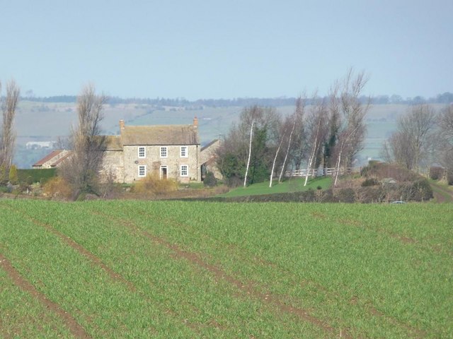
Addick How Hill is a picturesque hill located in the county of Yorkshire, England. Situated in the northern part of the county, it forms part of the stunning Yorkshire Dales National Park. The hill is known for its natural beauty, offering breathtaking views of the surrounding countryside.
Addick How Hill stands at an elevation of approximately 300 meters (984 feet) above sea level, making it a prominent landmark in the area. It is characterized by its gentle slopes, covered in lush green grass and dotted with colorful wildflowers during the summer months.
The hill is a popular destination for hiking and walking enthusiasts, offering a variety of trails and paths suitable for all levels of fitness. Many visitors are drawn to the area for its tranquil and serene atmosphere, as well as the opportunity to immerse themselves in nature.
At the summit of Addick How Hill, visitors are rewarded with panoramic vistas of the Yorkshire Dales, with its rolling hills, meandering rivers, and quaint villages. On clear days, it is even possible to catch a glimpse of the distant peaks of the Yorkshire Moors.
The surrounding area of Addick How Hill is home to diverse wildlife, including various species of birds, mammals, and plants. It provides an important habitat for many rare and endangered species, making it an ideal spot for nature lovers and wildlife enthusiasts.
Overall, Addick How Hill is a captivating destination, offering a peaceful retreat for those seeking solace in nature and an opportunity to explore the stunning landscapes of Yorkshire.
If you have any feedback on the listing, please let us know in the comments section below.
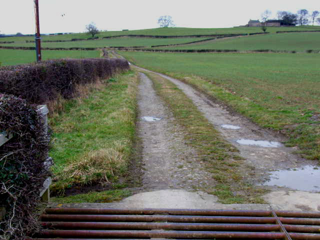
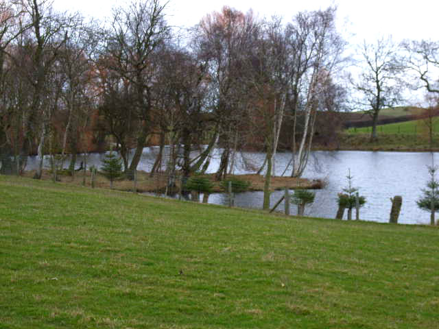
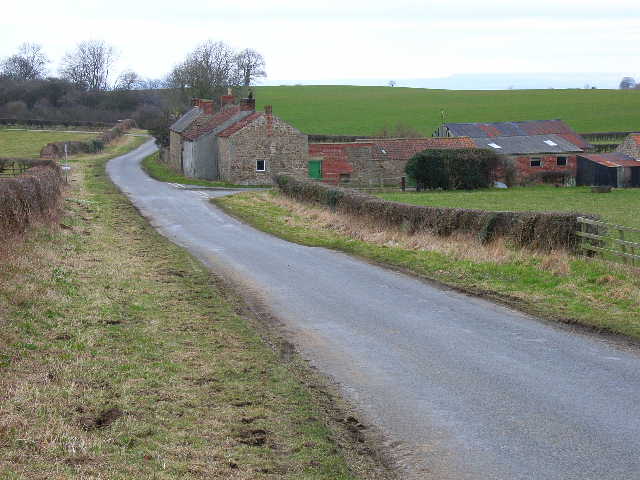
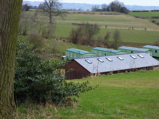
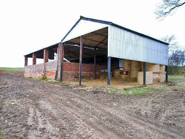
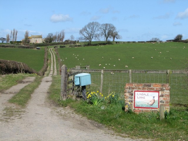
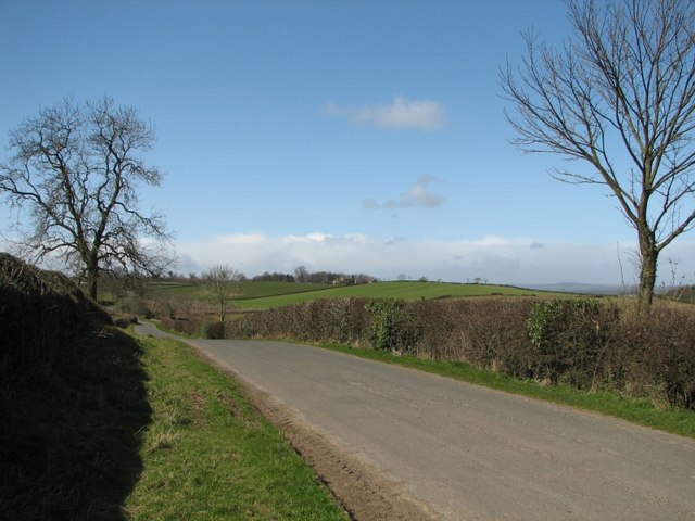
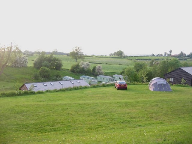
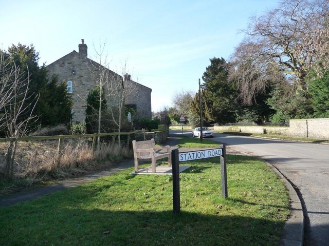
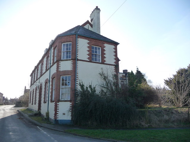
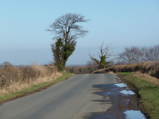
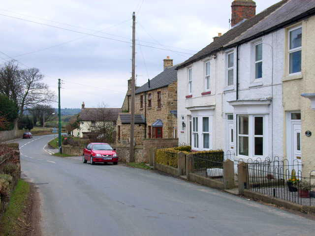
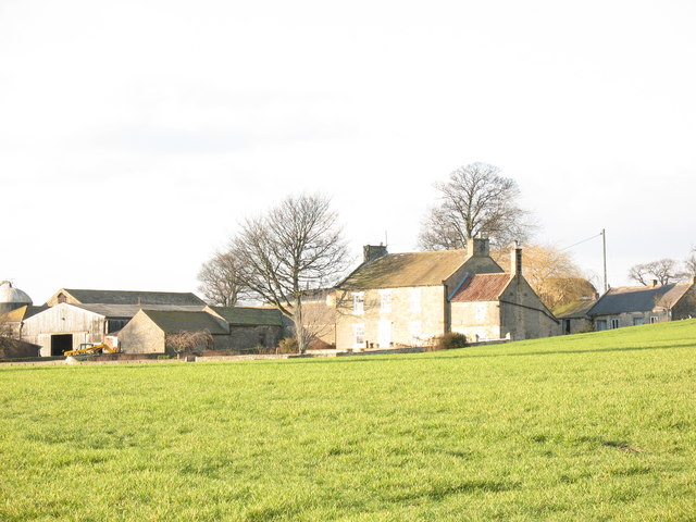
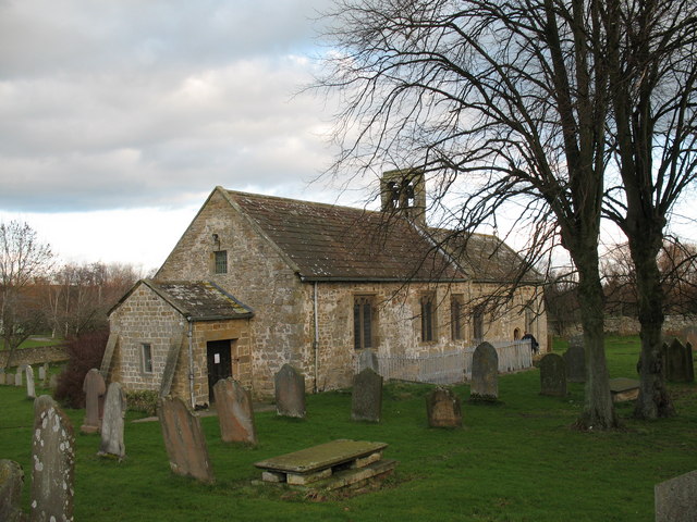
Addick How Hill Images
Images are sourced within 2km of 54.290827/-1.690258 or Grid Reference SE2088. Thanks to Geograph Open Source API. All images are credited.


Addick How Hill is located at Grid Ref: SE2088 (Lat: 54.290827, Lng: -1.690258)
Division: North Riding
Administrative County: North Yorkshire
District: Richmondshire
Police Authority: North Yorkshire
What 3 Words
///pheasants.downs.deferring. Near Bedale, North Yorkshire
Nearby Locations
Related Wikis

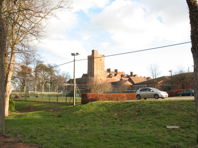
Aysgarth School
Aysgarth School is an independent day and boarding preparatory school near to the village of Newton-le-Willows, North Yorkshire, England. As the name suggests...

Jervaulx railway station
Jervaulx railway station was a railway station in Newton-le-Willows, North Yorkshire, England. Originally named after this place, it was renamed after...
Newton-le-Willows, North Yorkshire
Newton-le-Willows is a village and civil parish in the Richmondshire district of North Yorkshire, England, 3 miles (4.8 km) west of Bedale. Historically...
Rookwith
Rookwith is a hamlet and civil parish in the Hambleton district of North Yorkshire, England, about 4 miles (6.4 km) west of Bedale and near the flow of...

Thornton Steward Reservoir
Thornton Steward Reservoir is a reservoir north of the village of Thornton Steward in North Yorkshire, England. It is owned by Yorkshire Water, and supplies...
Finghall
Finghall is a village and civil parish in North Yorkshire, England. == History == The village is mentioned in the Domesday Book as Fingall when it belonged...

Finghall railway station
Finghall railway station is on the Wensleydale Railway and serves the village of Finghall in North Yorkshire, England. Adjacent to the station is a manually...

Akebar
Akebar is a township and civil parish in North Yorkshire, England, about eight miles south of Richmond. It consists of a caravan site, as well as several...
Nearby Amenities
Located within 500m of 54.290827,-1.690258Have you been to Addick How Hill?
Leave your review of Addick How Hill below (or comments, questions and feedback).