Toft Hill
Hill, Mountain in Northumberland
England
Toft Hill
Toft Hill is a small village located in the county of Northumberland, England. Situated in the northern part of the country, it lies approximately 15 miles southwest of Newcastle upon Tyne. Despite its name, Toft Hill is not actually a hill or a mountain, but rather a village nestled within the undulating landscape of the North Pennines Area of Outstanding Natural Beauty.
The village itself is characterized by its picturesque setting, surrounded by rolling hills and green fields. It is predominantly a residential area, with a small population of around 1,000 inhabitants. The architecture in Toft Hill is a mix of traditional stone-built houses and more modern developments, giving it a distinct charm.
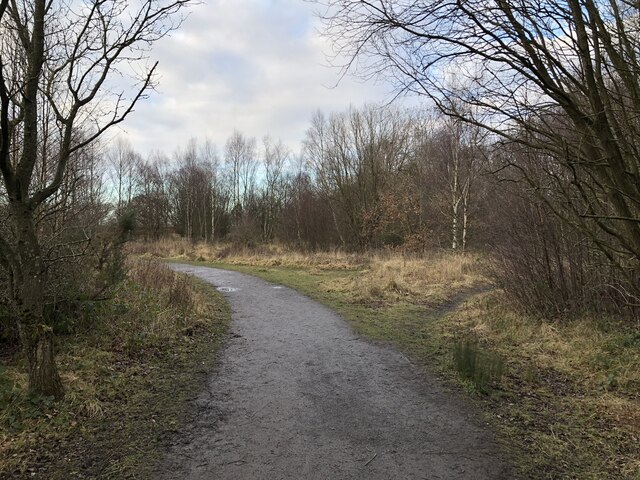
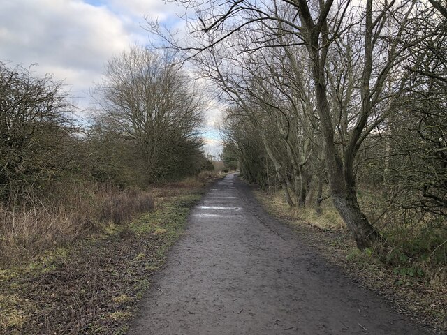
Although not a major tourist destination, Toft Hill offers visitors a peaceful retreat in the heart of the Northumberland countryside. The surrounding area provides ample opportunities for outdoor activities, such as hiking, cycling, and horseback riding. Additionally, the nearby North Pennines offer stunning views and a chance to explore the region's diverse flora and fauna.
Despite its rural location, Toft Hill benefits from good transport links, with easy access to nearby towns and cities. The village has a few amenities, including a primary school, a post office, and a local pub. For more extensive shopping and entertainment options, residents typically travel to nearby towns like Bishop Auckland or Durham.
In summary, Toft Hill is a tranquil village situated amidst the scenic beauty of the Northumberland countryside. With its charming architecture and proximity to natural attractions, it offers a peaceful retreat for both residents and visitors alike.
If you have any feedback on the listing, please let us know in the comments section below.
Toft Hill Images
Images are sourced within 2km of 55.047078/-1.6844074 or Grid Reference NZ2072. Thanks to Geograph Open Source API. All images are credited.


Toft Hill is located at Grid Ref: NZ2072 (Lat: 55.047078, Lng: -1.6844074)
Unitary Authority: Newcastle upon Tyne
Police Authority: Northumbria
What 3 Words
///ship.clapper.replenish. Near Dinnington, Tyne & Wear
Nearby Locations
Related Wikis
Dinnington, Tyne and Wear
Dinnington is a village and civil parish in the city of Newcastle upon Tyne in Tyne and Wear, England. It is about 9 miles (14 km) north of the city centre...

Castle, Newcastle upon Tyne
Castle is a ward of the city of Newcastle upon Tyne in North East England. The ward encompasses the villages of Brunswick, Dinnington and Hazlerigg. Castle...
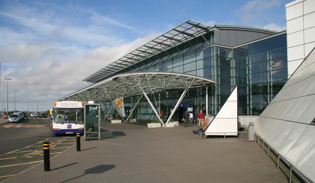
Newcastle International Airport
Newcastle International Airport (IATA: NCL, ICAO: EGNT) is an international airport in Newcastle upon Tyne, England. Located approximately 7.7 mi (12.4...

RAF Woolsington
Royal Air Force Woolsington, or more simply RAF Woolsington, was a civilian airfield that was taken over by the RAF in 1939. It was returned to civilian...
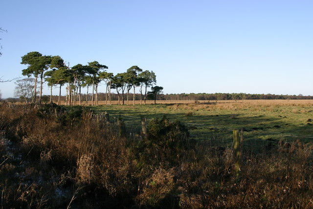
Prestwick Carr
Prestwick Carr is a large area of low-lying wetland on the northern boundary of the city of Newcastle upon Tyne in northeastern England between Dinnington...

Woolsington Hall
Woolsington Hall is a Grade II* listed country house in a 92-acre (37 ha) estate, in the village of Woolsington, in the city of Newcastle, England, north...

Havannah Nature Reserve
Havannah Nature Reserve lies to the west of the village of Hazlerigg, approximately five miles north of the centre of Newcastle upon Tyne in the north...
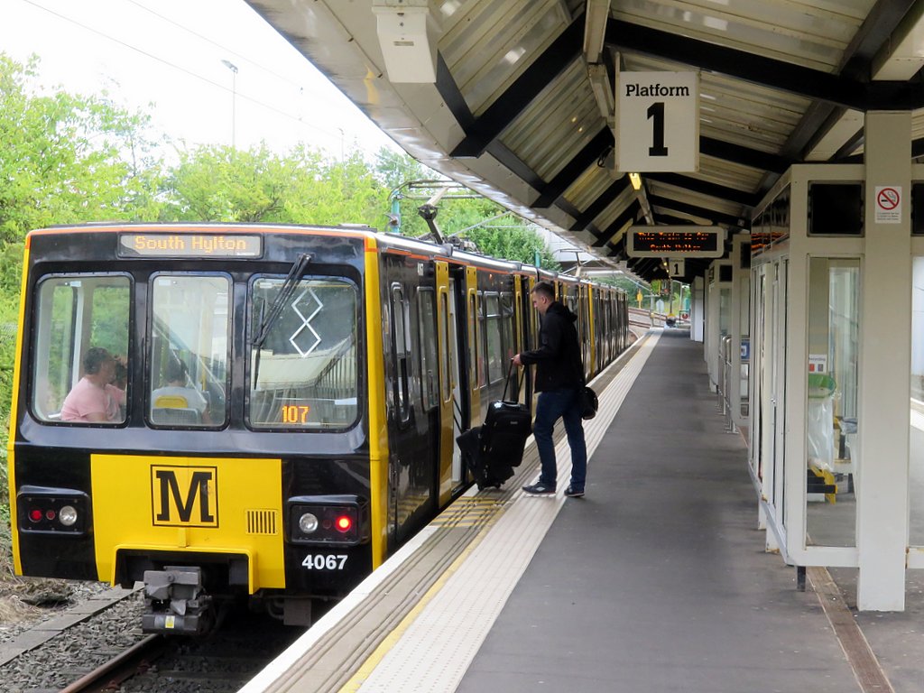
Newcastle Airport Metro station
Airport (also known as Newcastle Airport) is a Tyne and Wear Metro station, serving Newcastle International Airport, Newcastle upon Tyne in Tyne and Wear...
Nearby Amenities
Located within 500m of 55.047078,-1.6844074Have you been to Toft Hill?
Leave your review of Toft Hill below (or comments, questions and feedback).