Thorney Hill
Hill, Mountain in Hampshire New Forest
England
Thorney Hill
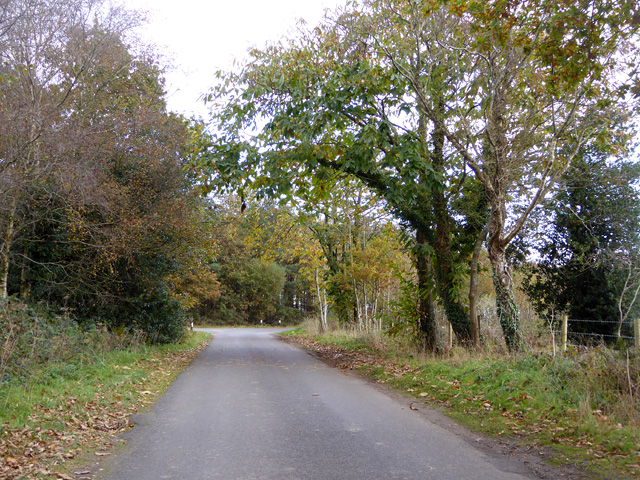
Thorney Hill is a charming village located in the county of Hampshire, England. Situated on the western edge of the New Forest National Park, it is known for its picturesque setting and stunning natural beauty. Despite its name, Thorney Hill is not an actual hill or mountain, but rather a small settlement nestled amidst rolling countryside.
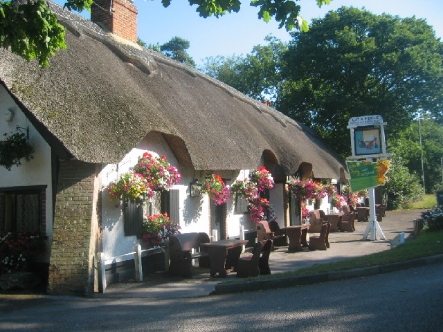
The village is characterized by its quaint, thatched-roof cottages and traditional English architecture. It exudes a peaceful and tranquil atmosphere, making it a popular destination for those seeking a quiet retreat. Thorney Hill is surrounded by lush green meadows and ancient woodlands, providing ample opportunities for outdoor activities such as hiking, cycling, and horse riding.
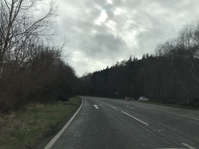
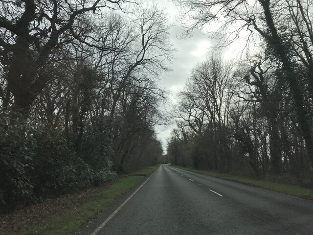
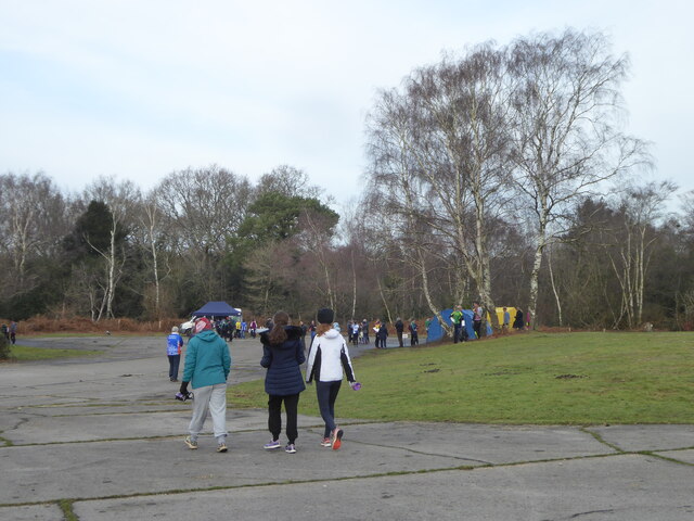
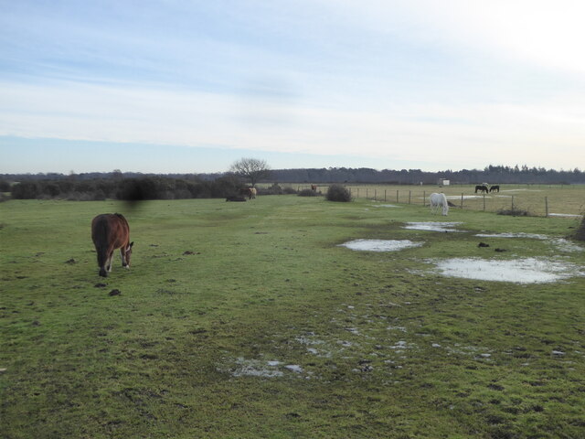
One of the highlights of Thorney Hill is its proximity to the New Forest National Park, which covers a vast area of heathland, forests, and open spaces. This protected area is home to a diverse range of flora and fauna, including deer, ponies, and rare bird species. Visitors to Thorney Hill can explore the park's numerous walking trails, picnic spots, and nature reserves.
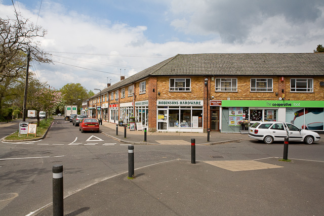
Despite its peaceful rural setting, Thorney Hill is conveniently located close to the town of Ringwood, which offers a range of amenities including shops, restaurants, and schools. The village also benefits from good transport links, with easy access to major roads and nearby train stations.
In summary, Thorney Hill is a picturesque village in Hampshire, surrounded by stunning natural landscapes. With its idyllic setting and close proximity to the New Forest National Park, it is a popular destination for nature lovers and those seeking a peaceful escape from city life.
If you have any feedback on the listing, please let us know in the comments section below.
Thorney Hill Images
Images are sourced within 2km of 50.790974/-1.7141342 or Grid Reference SZ2099. Thanks to Geograph Open Source API. All images are credited.


Thorney Hill is located at Grid Ref: SZ2099 (Lat: 50.790974, Lng: -1.7141342)
Administrative County: Hampshire
District: New Forest
Police Authority: Hampshire
What 3 Words
///flesh.combines.gambles. Near Bransgore, Hampshire
Nearby Locations
Related Wikis

All Saints' Church, Thorney Hill
All Saints' Church is a Church of England church in Thorney Hill, Hampshire, England. It was built in 1905–06 and has been a Grade I listed building since...

RAF Holmsley South
Royal Air Force Holmsley South or more simply RAF Holmsley South is a former Royal Air Force station in Hampshire, England. The airfield is located approximately...
Bransgore
Bransgore is a village and civil parish within the New Forest District, Hampshire, England. The village developed in the 19th century when a church and...

Avon Tyrrell House
Avon Tyrrell is an historic manor within the parish of Sopley, Hampshire. It is situated within the New Forest, near Christchurch. The present manor house...

East Close House
East Close House in Hinton, Hampshire, near Christchurch, Dorset, is a building of historical significance and a grade II listed building on the English...
Hinton, Hampshire
Hinton is a dispersed settlement in the civil parish of Bransgore, in the English county of Hampshire. Hinton is centred on the main A35 road northeast...

Holmsley railway station
Holmsley is a closed railway station in the county of Hampshire which served rural settlements in the New Forest. == History == The station was opened...

Beckley, Hampshire
Beckley is a hamlet in Hampshire, England. It lies in the civil parish of Bransgore. Beckley is mentioned in the Domesday Book of 1086, when it was held...
Nearby Amenities
Located within 500m of 50.790974,-1.7141342Have you been to Thorney Hill?
Leave your review of Thorney Hill below (or comments, questions and feedback).