Ashley Hill
Hill, Mountain in Yorkshire Richmondshire
England
Ashley Hill
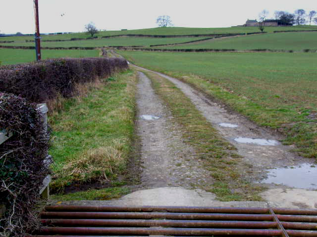
Ashley Hill is a small and picturesque hill located in Yorkshire, England. Situated in the beautiful Yorkshire Dales, it offers breathtaking views and a tranquil atmosphere for nature lovers and outdoor enthusiasts.
Rising to an elevation of approximately 350 meters (1150 feet), Ashley Hill is known for its gentle slopes and lush greenery. The hill is covered in a variety of vegetation including grasses, heather, and scattered trees, providing a vibrant and colorful landscape throughout the year.
The hill is easily accessible by foot or by car, with a well-maintained path leading to the summit. Hikers and walkers can enjoy a leisurely stroll or a more challenging hike, depending on their preferences and fitness levels. Along the way, they may encounter various wildlife species such as rabbits, foxes, and a wide range of bird species.
Once at the top, visitors are rewarded with breathtaking panoramic views of the surrounding Yorkshire Dales countryside. On clear days, it is possible to see for miles, with rolling hills, meandering rivers, and charming villages dotting the landscape.
Ashley Hill offers a peaceful retreat for those seeking a break from the hustle and bustle of city life. Whether it is a leisurely walk, a family picnic, or simply admiring the natural beauty, this hill in Yorkshire is a hidden gem that promises a memorable experience for all who visit.
If you have any feedback on the listing, please let us know in the comments section below.
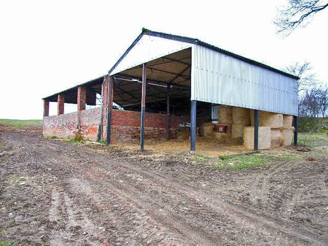
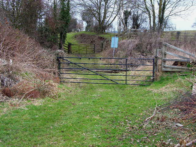
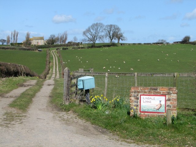
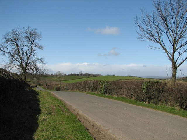
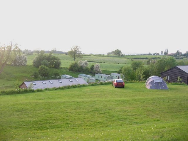
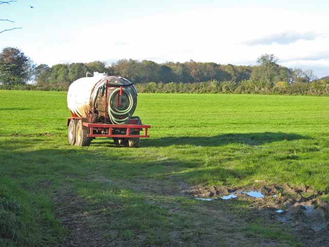
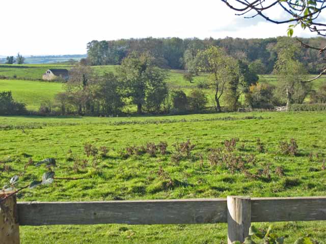
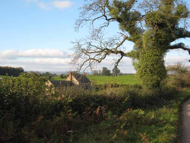
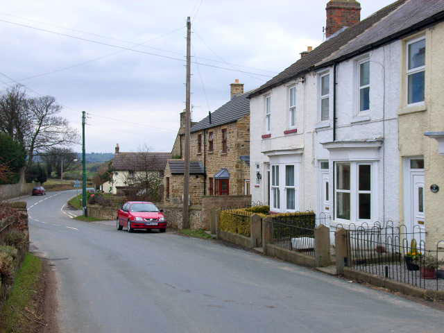
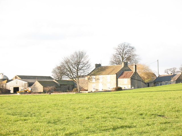
Ashley Hill Images
Images are sourced within 2km of 54.289436/-1.6806979 or Grid Reference SE2088. Thanks to Geograph Open Source API. All images are credited.


Ashley Hill is located at Grid Ref: SE2088 (Lat: 54.289436, Lng: -1.6806979)
Division: North Riding
Administrative County: North Yorkshire
District: Richmondshire
Police Authority: North Yorkshire
What 3 Words
///gulped.escape.haunt. Near Bedale, North Yorkshire
Nearby Locations
Related Wikis

Aysgarth School
Aysgarth School is an independent day and boarding preparatory school near to the village of Newton-le-Willows, North Yorkshire, England. As the name suggests...

Jervaulx railway station
Jervaulx railway station was a railway station in Newton-le-Willows, North Yorkshire, England. Originally named after this place, it was renamed after...
Newton-le-Willows, North Yorkshire
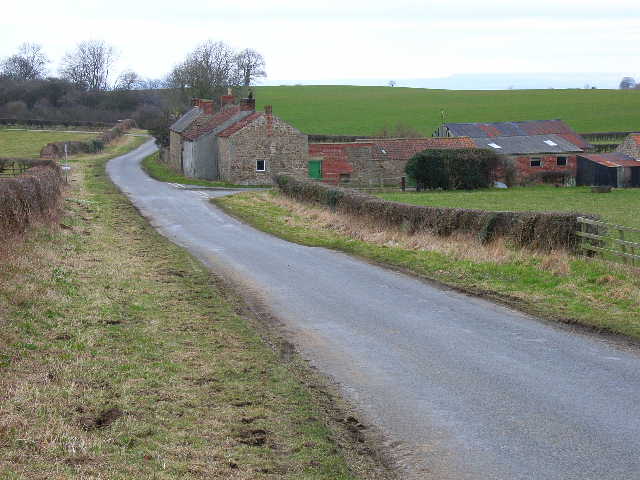
Newton-le-Willows is a village and civil parish in the Richmondshire district of North Yorkshire, England, 3 miles (4.8 km) west of Bedale. Historically...
Rookwith
Rookwith is a hamlet and civil parish in the Hambleton district of North Yorkshire, England, about 4 miles (6.4 km) west of Bedale and near the flow of...

Thirn
Thirn is a village and civil parish in North Yorkshire, England. It is situated close to the River Ure, about 3 miles (5 km) south-west of Bedale.The hamlet...
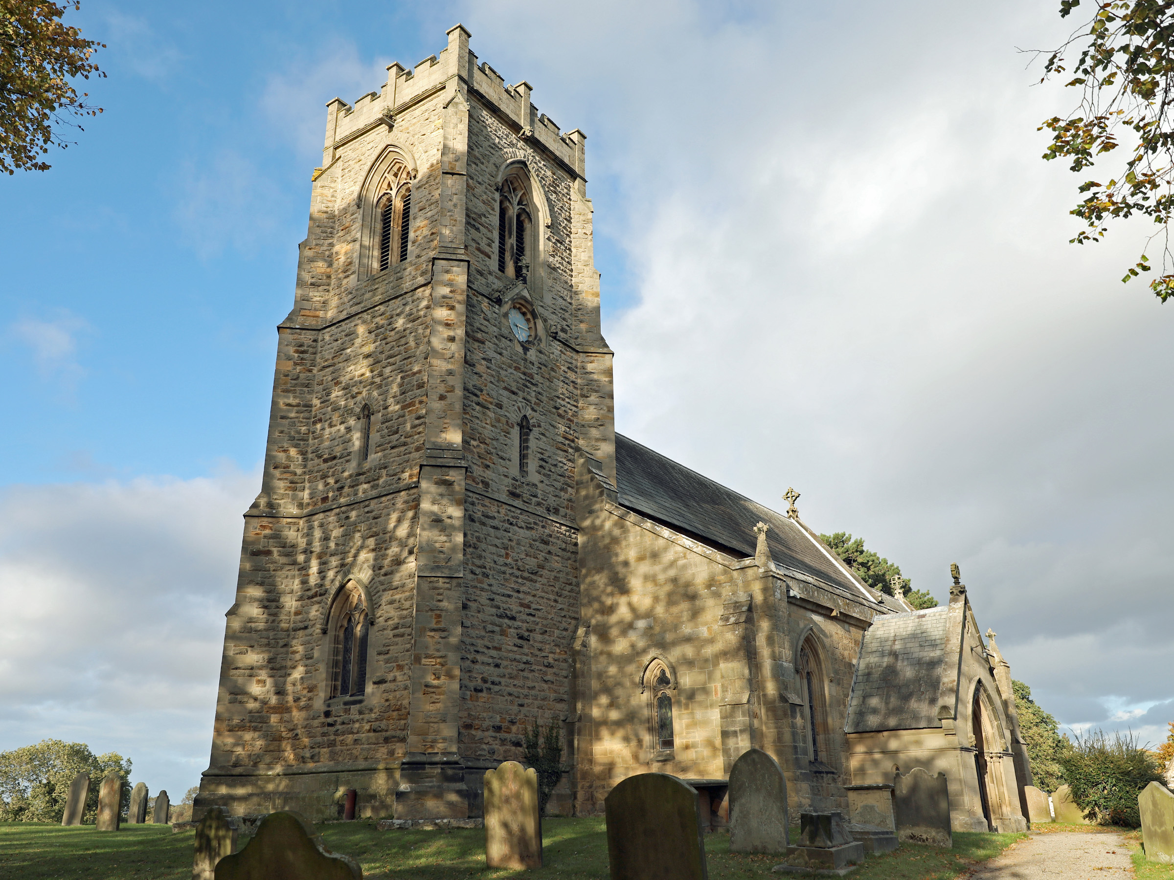
Church of St Patrick, Patrick Brompton
The Church of St Patrick, is the parish church for the village and parish of Patrick Brompton in North Yorkshire, England. The church is one of six in...

Patrick Brompton
Patrick Brompton is a village and civil parish in North Yorkshire, England. Patrick Brompton is situated about 4 miles (6.4 km) west of Bedale. It lies...

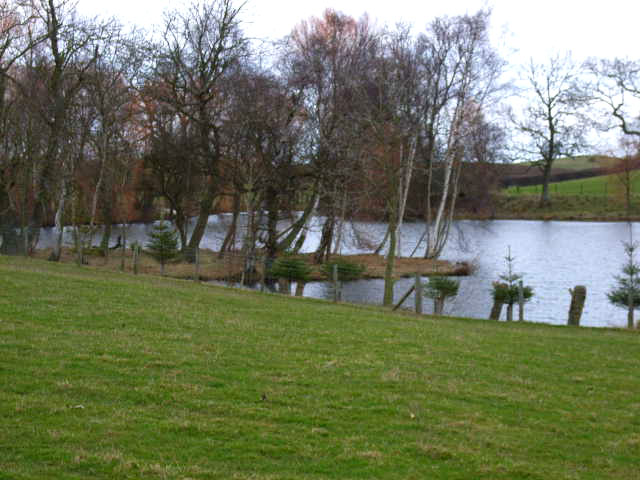
Thornton Steward Reservoir
Thornton Steward Reservoir is a reservoir north of the village of Thornton Steward in North Yorkshire, England. It is owned by Yorkshire Water, and supplies...
Related Videos
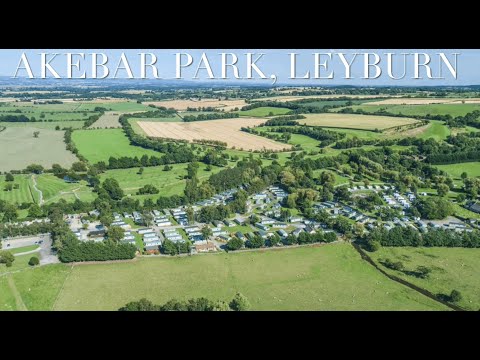
Akebar Park Lower Wendsleydale Yorkshire Dales caravan parks
Akebar Park, set in Lower Wensleydale, in the beautiful Yorkshire Dales. caravan parks like this are rare. We are the one stop ...
Akebar Park - Fitzy Family
NUMBER 1 TRIP - AKEBAR PARK We had the best first camping trip to Akebar Park. The place is lovely, really clean, set up well ...
Nearby Amenities
Located within 500m of 54.289436,-1.6806979Have you been to Ashley Hill?
Leave your review of Ashley Hill below (or comments, questions and feedback).