Windmill Hill

Hill, Mountain in Warwickshire Stratford-on-Avon

England

Windmill Hill

Threatening clouds, on track through Foxcote Farm near Ilmington
Threatening clouds, on track through Foxcote Farm near Ilmington Credit: Colin Park

Windmill Hill, located in Warwickshire, is a prominent hill that stands at an elevation of approximately 220 meters (720 feet) above sea level. It is a popular landmark known for its picturesque views and historical significance. Situated near the village of Pillerton Priors, the hill is easily accessible and attracts visitors from both nearby towns and further afield.

The name Windmill Hill is derived from the presence of a windmill that once stood atop the hill. Although the windmill no longer exists, its remnants are still visible, adding to the charm and character of the area. The hill is now primarily used for agricultural purposes, with lush fields surrounding its base.

The hill offers panoramic views of the surrounding Warwickshire countryside, providing visitors with a breathtaking sight of the rolling hills, meandering rivers, and picturesque villages in the distance. On a clear day, it is even possible to see as far as the Cotswolds, further enhancing the scenic beauty of Windmill Hill.

Additionally, Windmill Hill has historical significance. It is believed to have been inhabited since prehistoric times, with evidence of Iron Age and Roman settlements discovered in the area. The hill also played a role during the English Civil War, serving as a strategic vantage point due to its commanding position.

Visitors to Windmill Hill can enjoy various outdoor activities such as hiking, picnicking, and photography. It is a perfect destination for nature enthusiasts, history buffs, and those seeking a peaceful escape in the heart of Warwickshire.

If you have any feedback on the listing, please let us know in the comments section below.

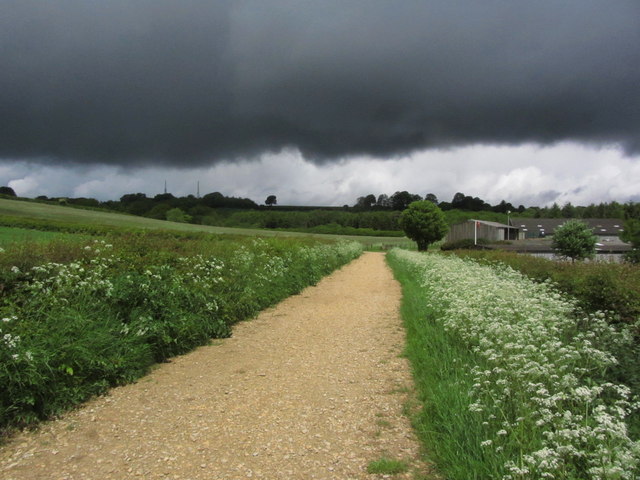
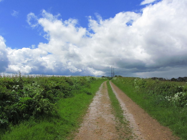
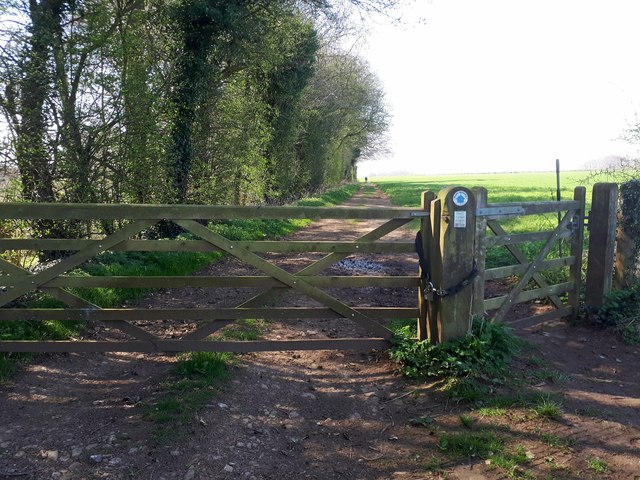
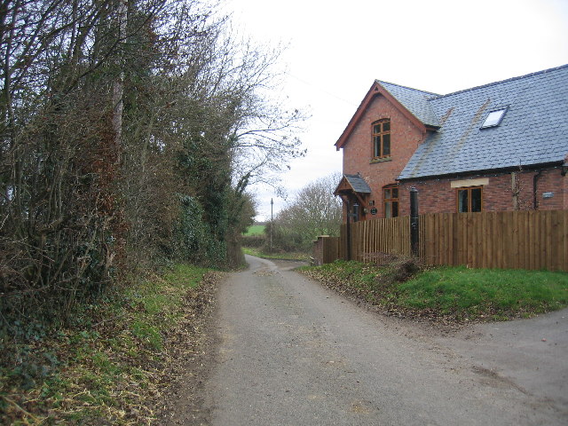
Windmill Hill Images

Images are sourced within 2km of 52.07511/-1.6968502 or Grid Reference SP2041. Thanks to Geograph Open Source API. All images are credited.

Threatening clouds, on track through Foxcote Farm near Ilmington
Track leading towards masts on Nebsworth Hill near Ilmington
Ilmington Downs transmitter masts View SSW from near the top of Long Hill (128m) towards the transmitter masts on the top of Ilmington Downs (240m), some 10.65km away.
Ilmington Downs transmitter masts
View SSW from near the top of Long Hill (128m) towards the transmitter masts on the top of Ilmington Downs (240m), some 10.65km away.
Farm track east of Nash's Lane Nash's Lane is a bridleway running from Ebrington towards Ilmington.
Farm track east of Nash's Lane
Nash's Lane is a bridleway running from Ebrington towards Ilmington.
View west towards Ebrington Hill Looking west from Nash's Lane, a bridleway running from Ebrington towards Ilmington.
View west towards Ebrington Hill
Looking west from Nash's Lane, a bridleway running from Ebrington towards Ilmington.
Farm building and wheat field View east from Nash's Lane, a bridleway running from Ebrington towards Ilmington.
Farm building and wheat field
View east from Nash's Lane, a bridleway running from Ebrington towards Ilmington.
Bridleway towards Ilmington View north down the bridleway.
On the horizon can be seen the two transmitter towers in <a href="https://www.geograph.org.uk/gridref/SP1942">SP1942</a>.
Bridleway towards Ilmington
View north down the bridleway. On the horizon can be seen the two transmitter towers in SP1942.
Wheat field east of the bridleway A field of ripening wheat to the east of the bridleway running from Ebrington towards Ilmington.
On the horizon to the left can be seen the two transmitter towers in <a href="https://www.geograph.org.uk/gridref/SP1942">SP1942</a>.
Wheat field east of the bridleway
A field of ripening wheat to the east of the bridleway running from Ebrington towards Ilmington. On the horizon to the left can be seen the two transmitter towers in SP1942.
View NNW from the bridleway Looking NNW from the bridleway from Ebrington towards Ilmington.
View NNW from the bridleway
Looking NNW from the bridleway from Ebrington towards Ilmington.
Madgcombe Coppice Bridleway and Path heading towards Ebrington.
Madgcombe Coppice
Bridleway and Path heading towards Ebrington.
Foxcote House
Foxcote House
The road to Ilmington
Footpath towards Campden Road
Campden Pitch heading down to Ilmington
Campden Pitch entering Ilmington
Campden Hill in Ilmington
Front Street in Ilmington
Show me another place!

Windmill Hill is located at Grid Ref: SP2041 (Lat: 52.07511, Lng: -1.6968502)

Administrative County: Warwickshire

District: Stratford-on-Avon

Police Authority: Warwickshire

What 3 Words

///verbs.validated.froze. Near Shipston on Stour, Warwickshire

Nearby Locations

Windmill Hill

Related Wikis

Ilmington Downs

The Ilmington Downs are a large open area situated in Warwickshire, just above the small village of Ilmington. It is the highest point in Warwickshire...

Flowers Wood

Flowers Wood is a community woodland near Ilmington in Warwickshire, England. It covers a total area of 1.67 hectares (4.13 acres). It is owned and managed...

Ilmington

Ilmington is a village and civil parish about 3.5 miles (5.6 km) north-west of Shipston-on-Stour and 8 miles (13 km) south of Stratford-upon-Avon in the...

Longdon Road railway station

Longdon Road railway station served the hamlet of Darlingscott, Warwickshire. It was on the branch line from Moreton-in-Marsh to Shipston. == History... ==

Nearby Amenities

Located within 500m of 52.07511,-1.6968502
Windmill Hill
Ele: 220
Natural: peak
Lat/Long: 52.0759123/-1.7017776
Cathole
Power: pole
Transformer: distribution
Voltage Primary: 11000
Lat/Long: 52.0732557/-1.6951105
Power: pole
Lat/Long: 52.0726094/-1.694802
Power: pole
Lat/Long: 52.0721634/-1.6945902
Power: pole
Lat/Long: 52.0714042/-1.6941972
Redlands Barn
Power: pole
Transformer: distribution
Voltage Primary: 11000
Lat/Long: 52.0728097/-1.7018992
The data included in this document is from www.openstreetmap.org. The data is made available under ODbL.

Have you been to Windmill Hill?

Leave your review of Windmill Hill below (or comments, questions and feedback).