Hunger Hill

Hill, Mountain in Derbyshire Derbyshire Dales

England

Hunger Hill

Tissington, gatepost The entrance to the footpath is on the north side of Chapel Lane and there is a benchmark cut into the gatepost.
Tissington, gatepost Credit: Mel Towler

Hunger Hill is a prominent hill located in the county of Derbyshire, England. It lies within the Peak District National Park and forms part of the Pennine range. Rising to a height of approximately 440 meters (1,440 feet), it offers breathtaking panoramic views of the surrounding countryside.

The hill is known for its distinctive cone-shaped summit, which is covered in heather, grass, and a variety of wildflowers during the summer months. The area is also home to a diverse range of wildlife, including birds of prey such as kestrels and buzzards, as well as small mammals like rabbits and hares.

Hunger Hill is a popular destination for hikers and outdoor enthusiasts, thanks to its accessible trails and well-maintained footpaths. One of the most popular routes to the summit starts from the nearby village of Birchover, leading visitors through picturesque woodlands and across open fields, before reaching the top. The ascent is relatively moderate, making it suitable for individuals of varying fitness levels.

Once at the summit, visitors are rewarded with stunning views of the surrounding countryside, including the nearby villages of Winster and Stanton-in-Peak, as well as the rolling hills and valleys of the Peak District. On a clear day, it is even possible to see as far as the cities of Sheffield and Manchester in the distance.

Overall, Hunger Hill in Derbyshire offers a memorable outdoor experience, combining natural beauty, diverse wildlife, and stunning vistas that attract both locals and tourists alike.

If you have any feedback on the listing, please let us know in the comments section below.
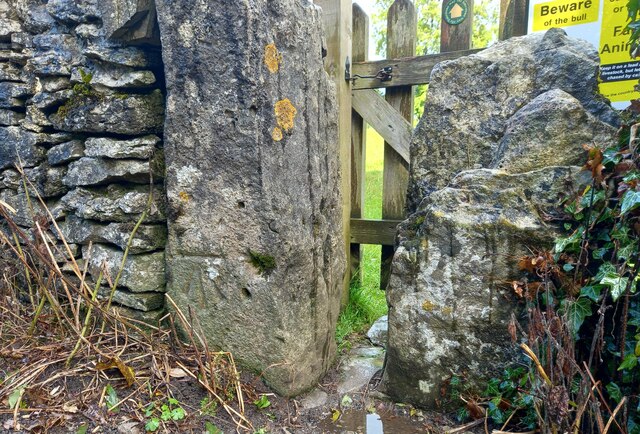
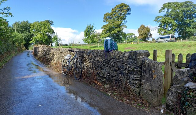
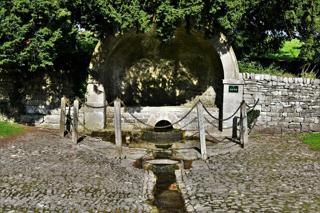
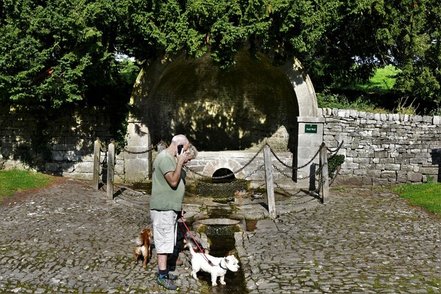
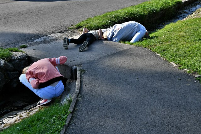
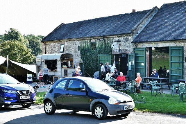
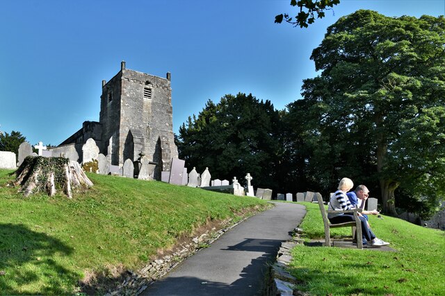
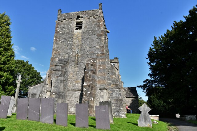
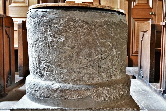
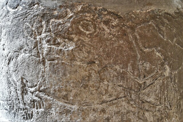
Hunger Hill Images

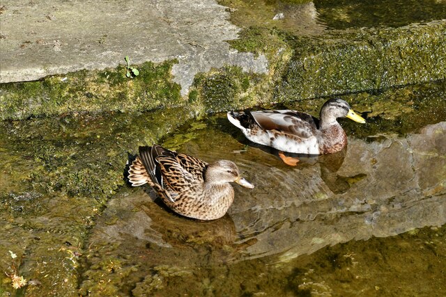
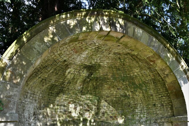
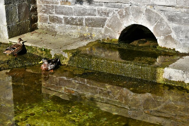
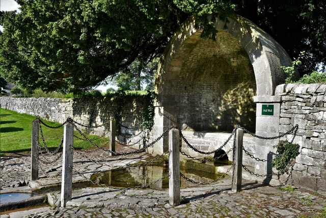
Images are sourced within 2km of 53.076682/-1.7404856 or Grid Reference SK1753. Thanks to Geograph Open Source API. All images are credited.

Tissington, gatepost The entrance to the footpath is on the north side of Chapel Lane and there is a benchmark cut into the gatepost.
Tissington, gatepost
The entrance to the footpath is on the north side of Chapel Lane and there is a benchmark cut into the gatepost.
Tissington, gatepost A wider angle showing the entrance to the footpath which is on the north side of Chapel Lane. There is a benchmark cut into the gatepost.
Tissington, gatepost
A wider angle showing the entrance to the footpath which is on the north side of Chapel Lane. There is a benchmark cut into the gatepost.
Tissington, Hall Well: One of six Derbyshire wells 'dressed' for Ascension week
Tissington, Hall Well: One of six Derbyshire wells 'dressed' for Ascension week (detail) Two ducks seem to regard the well as home.
Tissington, Hall Well: One of six Derbyshire wells 'dressed' for Ascension week (detail)
Two ducks seem to regard the well as home.
Tissington, Hall Well: One of six Derbyshire wells 'dressed' for Ascension week (detail) The domed covering.
Tissington, Hall Well: One of six Derbyshire wells 'dressed' for Ascension week (detail)
The domed covering.
Tissington, Hall Well: One of six Derbyshire wells 'dressed' for Ascension week (detail)
Tissington, Hall Well: One of six Derbyshire wells 'dressed' for Ascension week
Tissington: Inspecting the stream created by Hall Well
Tissington: Herbert's Tearoom
Tissington, St. Mary's Church
Tissington, St. Mary's Church: Western aspect
Tissington: Herbert's Tearoom from St. Mary's churchyard
Tissington, St. Mary's Church: Norman tympanum above the south door
Tissington, St. Mary's Church: Norman tympanum above the south door (detail) 1
Tissington, St. Mary's Church: Norman tympanum above the south door (detail) 2
Tissington, St. Mary's Church: Norman tub font with incised animals
Tissington, St. Mary's Church: Norman tub font with incised animals (detail)
Show me another place!

Hunger Hill is located at Grid Ref: SK1753 (Lat: 53.076682, Lng: -1.7404856)

Administrative County: Derbyshire

District: Derbyshire Dales

Police Authority: Derbyshire

What 3 Words

///backswing.screeches.goal. Near Ashbourne, Derbyshire

Nearby Locations

Crake Low Hunger Hill

Related Wikis

Tissington

Tissington is a village and former civil parish, now in the parish of Tissington and Lea Hall, in the Derbyshire Dales district of Derbyshire, England...

Tissington and Lea Hall

Tissington and Lea Hall is a civil parish within the Derbyshire Dales district, which is in the county of Derbyshire, England. Named for its settlements...

Ashbourne line

The Ashbourne line was a 33+1⁄2 mi (53.9 km) railway from Buxton via Ashbourne to Uttoxeter. It was built by the London and North Western Railway using...
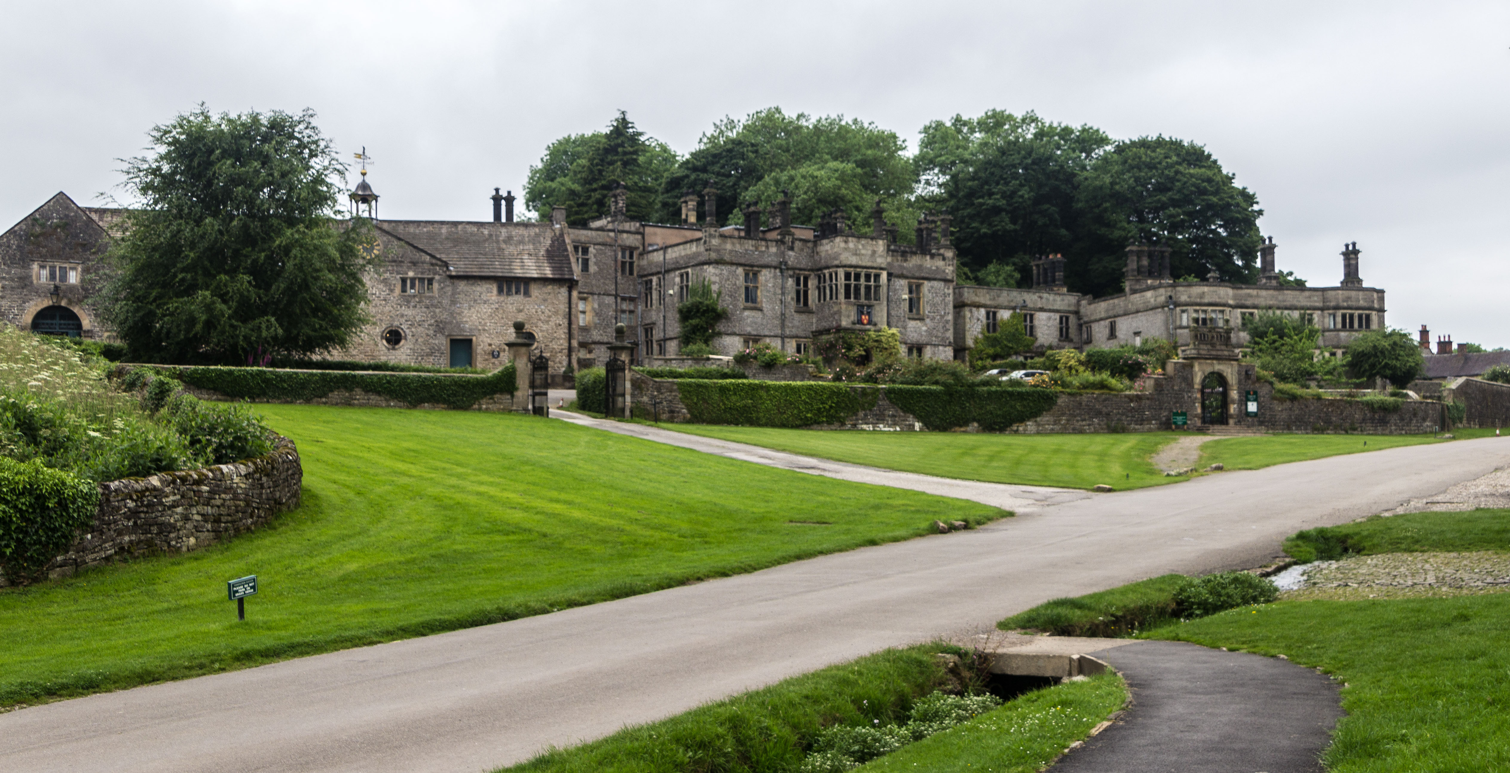
Tissington Hall

Tissington Hall is an early 17th-century Jacobean mansion house in Tissington, near Ashbourne, Derbyshire. It is a Grade II* listed building. The FitzHerberts...

Nearby Amenities

Located within 500m of 53.076682,-1.7404856
Ele: 231.0000000
Lat/Long: 53.0789591/-1.7396462
Ele: 235.0000000
Lat/Long: 53.0787214/-1.7400402
Ele: 242.0000000
Lat/Long: 53.0781865/-1.7403039
Ele: 233.0000000
Lat/Long: 53.078817/-1.7399218
Barrier: cattle_grid
Ele: 232.0000000
Lat/Long: 53.0789186/-1.7398002
Ele: 233.0000000
Lat/Long: 53.0789061/-1.7398126
Ele: 232.0000000
Lat/Long: 53.0788781/-1.7398394
Barrier: stile
Ele: 258.0000000
Steps: 3
Stile: wall
Lat/Long: 53.0768307/-1.7417089
Barrier: stile
Ele: 258.0000000
Stile: squeezer
Lat/Long: 53.075665/-1.7416807
Ele: 244.0000000
Lat/Long: 53.0737234/-1.7416866
Barrier: stile
Ele: 232.0000000
Steps: 3
Stile: wall
Lat/Long: 53.0722788/-1.7416575
Barrier: stile
Material: stone
Source: survey;gps
Stile: stepover
Lat/Long: 53.074824/-1.7471551
Barrier: stile
Material: stone
Source: survey;bing
Stile: squeezer
Lat/Long: 53.0788561/-1.7398037
Barrier: stile
Material: stone
Source: survey;bing
Stile: stepover
Lat/Long: 53.0788907/-1.7397706
Millennium stone
Check Date: 2023-08-03
Memorial: plaque
Name En: Millennium stone
Source: survey
Lat/Long: 53.0750667/-1.7417651
The data included in this document is from www.openstreetmap.org. The data is made available under ODbL.

Have you been to Hunger Hill?

Leave your review of Hunger Hill below (or comments, questions and feedback).