Douglas Hill
Hill, Mountain in Yorkshire Richmondshire
England
Douglas Hill
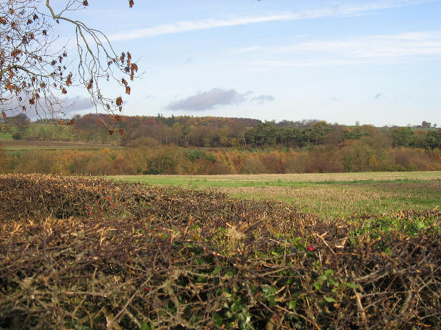
Douglas Hill is a prominent natural landmark located in the picturesque county of Yorkshire, England. Rising to an impressive height of 562 meters (1,844 feet), it is considered one of the highest points in the region, offering breathtaking panoramic views of the surrounding countryside. Situated in the southern part of the Yorkshire Dales National Park, Douglas Hill attracts nature enthusiasts, hikers, and climbers with its rugged terrain and challenging trails.
The hill is renowned for its distinctive conical shape, which is a result of its geological composition. Composed primarily of limestone, the hill features steep slopes covered in grass and scattered with rocky outcrops. As visitors ascend the hill, they are treated to stunning vistas of rolling hills, verdant valleys, and meandering rivers that define the Yorkshire landscape.
At the summit of Douglas Hill, a trig point marks the highest point, allowing visitors to measure their achievement and enjoy a well-deserved rest. On clear days, the view extends far beyond the national park, showcasing the beauty of the North York Moors and even glimpses of the distant Yorkshire coast.
The hill is home to a diverse range of flora and fauna, including various bird species, deer, and wildflowers that bloom during the spring and summer months. As a protected area within the national park, it is important for visitors to adhere to the guidelines and respect the natural environment.
Overall, Douglas Hill in Yorkshire offers a rewarding outdoor experience for those seeking adventure, natural beauty, and a chance to immerse themselves in the captivating landscapes of this stunning region.
If you have any feedback on the listing, please let us know in the comments section below.
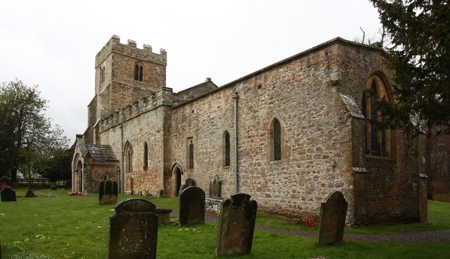
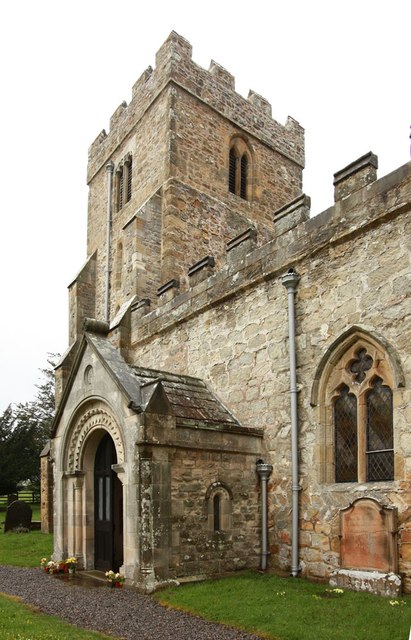
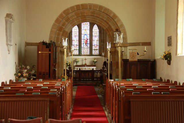
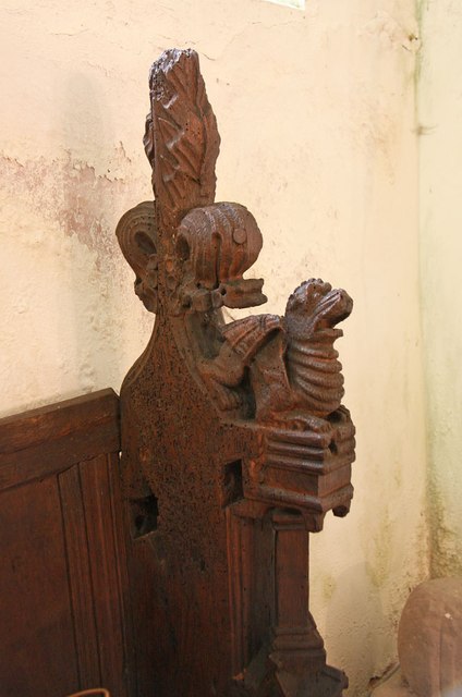
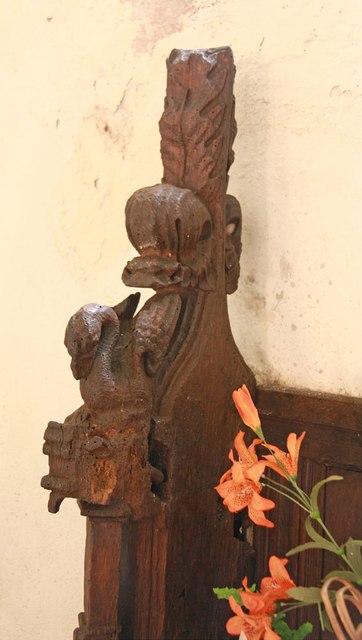
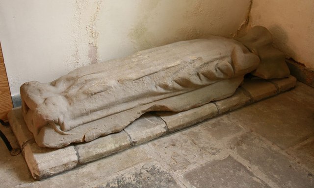
Douglas Hill Images
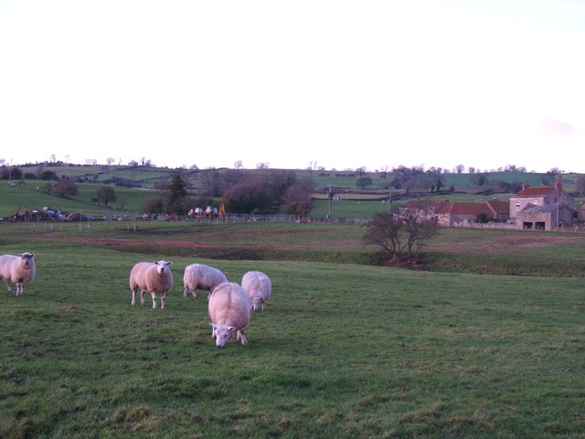
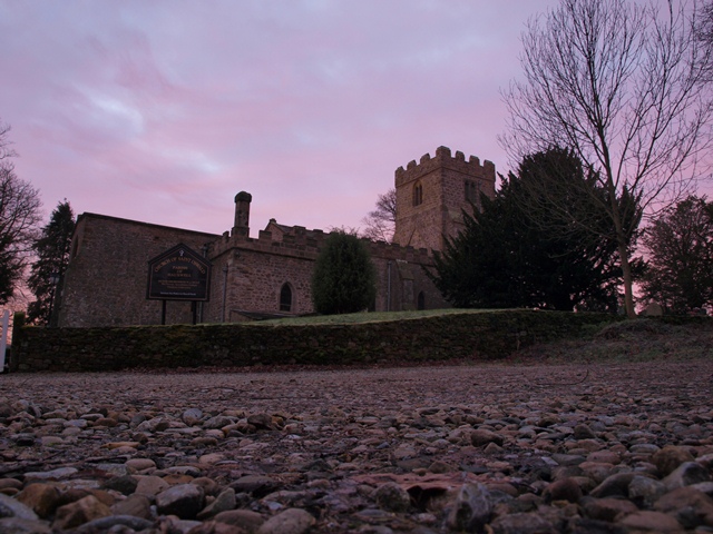
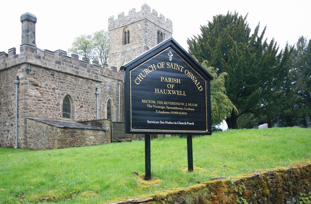
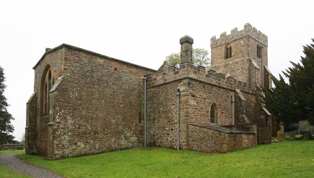
Images are sourced within 2km of 54.340817/-1.7327192 or Grid Reference SE1793. Thanks to Geograph Open Source API. All images are credited.
Douglas Hill is located at Grid Ref: SE1793 (Lat: 54.340817, Lng: -1.7327192)
Division: North Riding
Administrative County: North Yorkshire
District: Richmondshire
Police Authority: North Yorkshire
What 3 Words
///hillsides.hours.logic. Near Catterick Garrison, North Yorkshire
Nearby Locations
Related Wikis
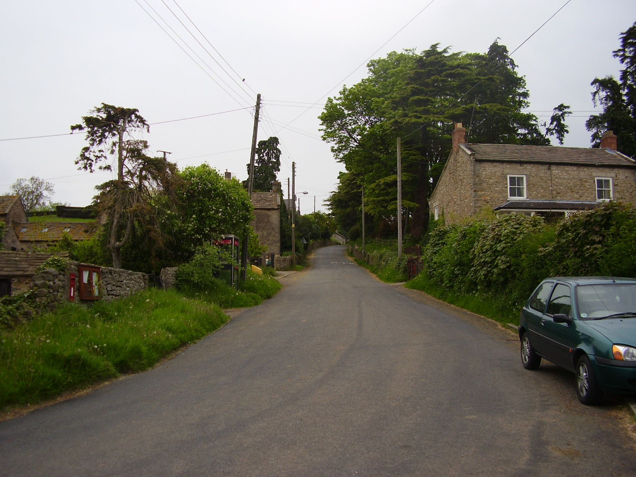
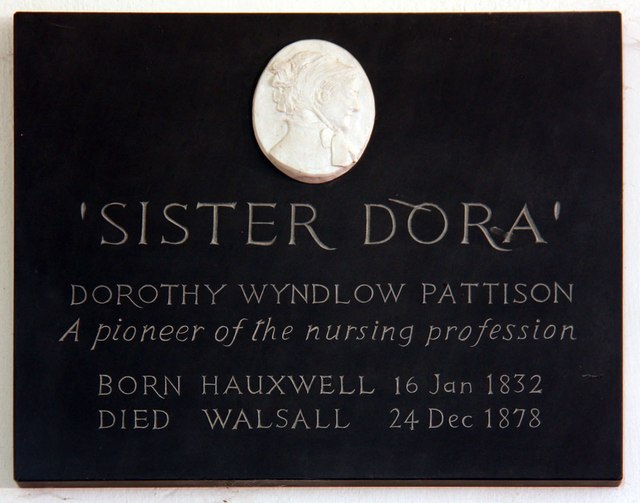
East Hauxwell
East Hauxwell or Hauxwell is a village and civil parish in North Yorkshire, England. It is located south of Catterick Garrison.To the west of the village...
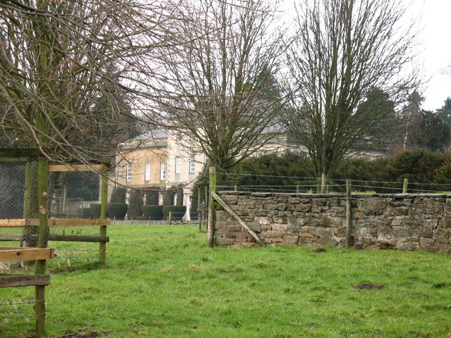
Hauxwell Hall
Hauxwell Hall or Hawkswell Hall is a grade II* listed 17th-century country house in West Hauxwell, North Yorkshire, England, some 5 miles (8 km) south...

Hunton, North Yorkshire
Hunton is a village and civil parish about 3 miles (4.8 km) south of Catterick Garrison and 6 miles (10 km) north west of Bedale, in North Yorkshire, England...
Garriston
Garriston is a hamlet and civil parish north-east of Leyburn in North Yorkshire, England. In 2015, North Yorkshire County Council estimated the population...
Nearby Amenities
Located within 500m of 54.340817,-1.7327192Have you been to Douglas Hill?
Leave your review of Douglas Hill below (or comments, questions and feedback).