Job's Hill

Hill, Mountain in Durham

England

Job's Hill

Constantine Farm
Constantine Farm Credit: Alex McGregor

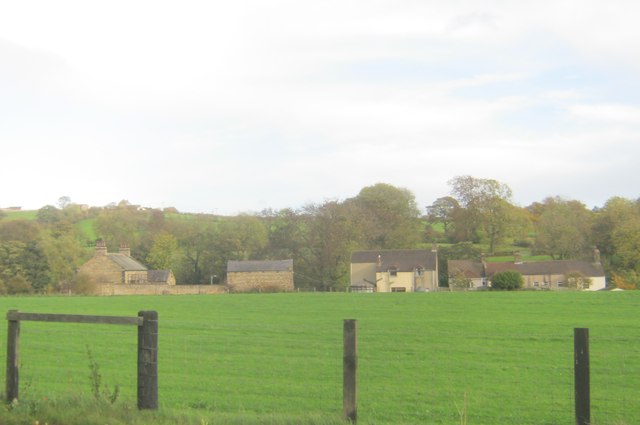
Job's Hill is a prominent hillock located in Durham, England. Situated on the western outskirts of the city, it forms part of the wider Durham Heights area. The hill is named after the biblical figure Job, known for his perseverance and faith.

Rising to an elevation of approximately 100 meters (330 feet), Job's Hill offers stunning panoramic views of the surrounding countryside and the city below. Its strategic location makes it a popular spot for locals and tourists alike, seeking a peaceful retreat from the bustling city life.

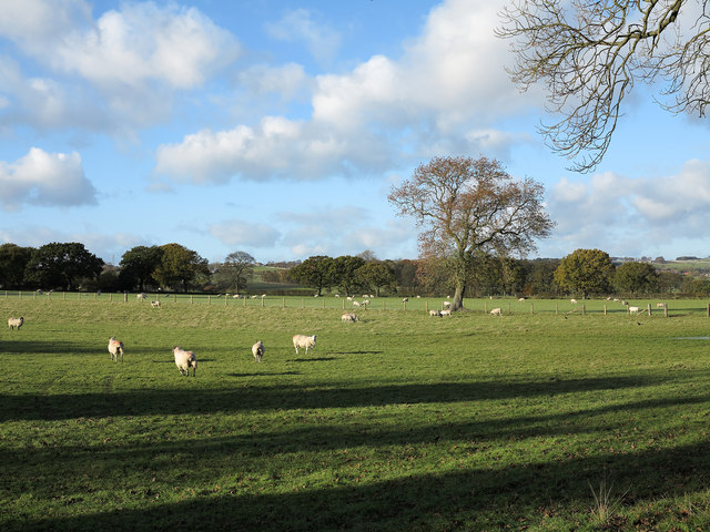
The hill is predominantly covered in grass and scattered with a variety of wildflowers, creating a picturesque landscape during the blooming seasons. It is also home to a diverse range of wildlife, including rabbits, squirrels, and various species of birds.

Job's Hill is easily accessible, with a network of well-maintained footpaths leading to its summit. These paths are frequently used by hikers, joggers, and dog walkers, who enjoy the challenging terrain and the tranquil ambiance of the area.

The hill is of historical significance as well, with traces of ancient settlements and burial mounds discovered nearby. Archaeological studies have revealed artifacts dating back thousands of years, shedding light on the region's rich cultural heritage.

Overall, Job's Hill provides a serene natural environment, breathtaking views, and a glimpse into the area's past. It is a cherished destination for outdoor enthusiasts and those seeking a moment of tranquility amidst the Durham landscape.

If you have any feedback on the listing, please let us know in the comments section below.

Job's Hill Images

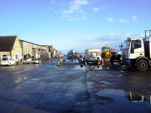
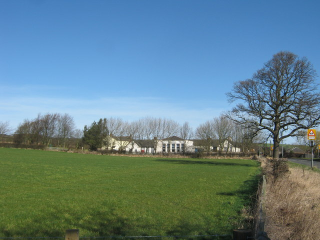
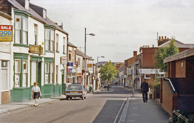
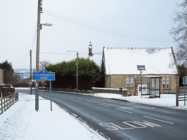
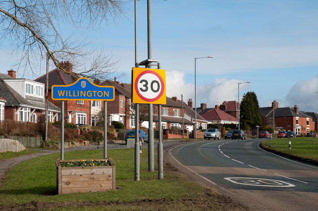
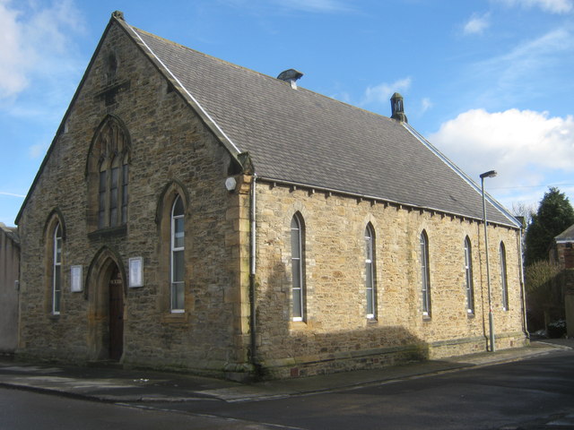
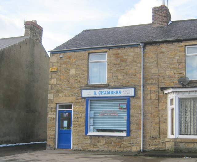
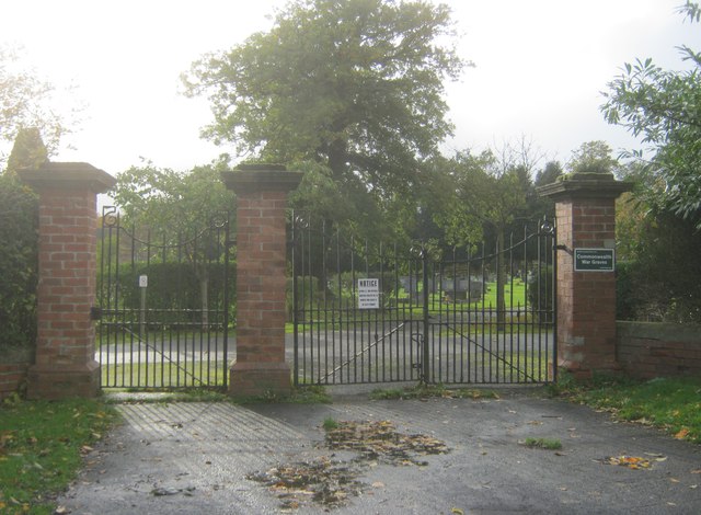
Images are sourced within 2km of 54.70949/-1.7304579 or Grid Reference NZ1734. Thanks to Geograph Open Source API. All images are credited.

Constantine Farm
Constantine Farm
Undulating field south of Black Hamilton A public footpath crosses fields south of the farm at Black Hamilton; at this point the ground below the path descends to the trees of Stonechester Plantation.
Undulating field south of Black Hamilton
A public footpath crosses fields south of the farm at Black Hamilton; at this point the ground below the path descends to the trees of Stonechester Plantation.
Footpath off Roman Road north of Hunwick
Sunnybrow Primary School
Hope Street, Crook in vicinity of former station,1988 View SE: ex-NER Bishop Auckland - Tow Law line. Crook lost its service to Tow Law from 11/6/56, to Bishop Auckland from 8/3/65, the line being abandoned from 16/9/65.
Hope Street, Crook in vicinity of former station,1988
View SE: ex-NER Bishop Auckland - Tow Law line. Crook lost its service to Tow Law from 11/6/56, to Bishop Auckland from 8/3/65, the line being abandoned from 16/9/65.
A689 entering Helmington Row Helmington Row is a small County Durham village lying on the A689 between the small towns of Crook and Willington. The building beyond the bus stop, now a private house, was once a 'board school'; it's a listed building. The blue and yellow road sign is characteristic of a style of signage introduced by County Durham some years ago.
A689 entering Helmington Row
Helmington Row is a small County Durham village lying on the A689 between the small towns of Crook and Willington. The building beyond the bus stop, now a private house, was once a 'board school'; it's a listed building. The blue and yellow road sign is characteristic of a style of signage introduced by County Durham some years ago.
A689 entering Willington Willington can be considered either as a large village or a small town; it was a County Durham 'pit village', the colliery closing in 1967. The blue and yellow road sign is characteristic of a style of signage introduced by County Durham some years ago.
A689 entering Willington
Willington can be considered either as a large village or a small town; it was a County Durham 'pit village', the colliery closing in 1967. The blue and yellow road sign is characteristic of a style of signage introduced by County Durham some years ago.
Methodist Church in High Street, Howden-le-Wear
Butcher's shop in High Street, Howden-le-Wear
Entrance to Howden-le-Wear Cemetery
Low Beechburn
Low Beechburn
B6286 entering Sunnybrow from south Sunnybrow is a small settlement between Hunwick - another small place - and the rather larger Willington. The blue and yellow road sign is in a style introduced in County Durham some years ago.
B6286 entering Sunnybrow from south
Sunnybrow is a small settlement between Hunwick - another small place - and the rather larger Willington. The blue and yellow road sign is in a style introduced in County Durham some years ago.
Field east of Holy Well Lane Holy Well Lane is a minor road running south from the A690 between Crook and Willington. The field and the plantation lie south of Annapoorna, which sounds more like a name from India than one from County Durham!
Field east of Holy Well Lane
Holy Well Lane is a minor road running south from the A690 between Crook and Willington. The field and the plantation lie south of Annapoorna, which sounds more like a name from India than one from County Durham!
Field with sheep adjacent to B6286 The field lies north of the village of Hunwick the view being northwards towards the valley of the River Wear. The B6286 is just out of view, right of the image.
Field with sheep adjacent to B6286
The field lies north of the village of Hunwick the view being northwards towards the valley of the River Wear. The B6286 is just out of view, right of the image.
Bowden House Bowden House lies on a golf course (hence the manicured grass) above the small village of Helmington Row.
Bowden House
Bowden House lies on a golf course (hence the manicured grass) above the small village of Helmington Row.
Electrical equipment beside North Lane The main installation is an electricity substation; transmission pylons and lines can also be seen.
Electrical equipment beside North Lane
The main installation is an electricity substation; transmission pylons and lines can also be seen.
Field with trees adjacent to Quarry Burn Lane Quarry Burn Lane lies between the hedges at the right side of the field. The trees appear (from mapping) to be on a now removed field boundary, probably a hedge, of which they are surviving parts.
Field with trees adjacent to Quarry Burn Lane
Quarry Burn Lane lies between the hedges at the right side of the field. The trees appear (from mapping) to be on a now removed field boundary, probably a hedge, of which they are surviving parts.
Farm road near to Crook Industrial Estate Crook Industrial Estate lies in the south-western quadrant of the town and adjacent to farmland. High Farm would be accessed by this lane.
Farm road near to Crook Industrial Estate
Crook Industrial Estate lies in the south-western quadrant of the town and adjacent to farmland. High Farm would be accessed by this lane.
Show me another place!

Job's Hill is located at Grid Ref: NZ1734 (Lat: 54.70949, Lng: -1.7304579)

Unitary Authority: County Durham

Police Authority: Durham

What 3 Words

///cherubs.weeks.aimless. Near Crook, Co. Durham

Nearby Locations

Job's Hill

Related Wikis

Helmington Row

Helmington Row is a small village in County Durham, England. It is situated between Crook and Willington, about 7 miles south-west of Durham and 3 miles...

Crook railway station

Crook railway station served the town of Crook, County Durham, England. It was located on the Bishop Auckland and Weardale Railway line from Bishop Auckland...

Crook, County Durham

Crook is a market town in the Durham County Council unitary authority and ceremonial county of County Durham, England. It is located on the edge of Weardale...

Crook and Willington Urban District

Crook and Willington was an urban district in County Durham, England from 1937 to 1974. It was created by a merger of the previous Crook and Willington...

Nearby Amenities

Located within 500m of 54.70949,-1.7304579
Bus Stop
Wheatbottom
Naptan AtcoCode: 13004379D
Naptan Bearing: SE
Naptan CommonName: Wheatbottom
Naptan Indicator: south east bound
Naptan Landmark: Landmark not known
Naptan NaptanCode: durdajgd
Naptan Notes: 18 Wheatbottom- Crook
Naptan Street: A690 Wheatbottom
Naptan Verified: yes
Source: naptan_import; survey
Lat/Long: 54.7125001/-1.7361156
Bus Stop
Wheatbottom
Naptan AtcoCode: 13004379H
Naptan Bearing: NW
Naptan CommonName: Wheatbottom
Naptan Indicator: north west bound
Naptan Landmark: Landmark not known
Naptan NaptanCode: durdajgj
Naptan Notes: Opposite 27 Wheatbottom- Crook
Naptan Street: A690 Wheatbottom
Naptan Verified: no
Shelter: yes
Source: naptan_import
Lat/Long: 54.7119849/-1.7353608
Bus Stop
Ennerdale Drive
Naptan AtcoCode: 13004380E
Naptan Bearing: S
Naptan CommonName: Ennerdale Drive
Naptan Indicator: south bound
Naptan Landmark: Landmark not known
Naptan NaptanCode: durdajgm
Naptan Notes: Opposite 55 Ennerdale Drive- Crook
Naptan Street: Ennerdale Drive
Naptan Verified: no
Source: naptan_import
Lat/Long: 54.7105501/-1.737677
Bus Stop
Elcoat Terrace
Naptan AtcoCode: 13004385C
Naptan Bearing: E
Naptan CommonName: Elcoat Terrace
Naptan Indicator: east bound
Naptan Landmark: Landmark not known
Naptan NaptanCode: durdajmt
Naptan Notes: Boundary of 5 and 6 High Jobs Hill- Crook
Naptan Street: A690 High Jobs Hill
Naptan Verified: yes
Shelter: no
Source: naptan_import; survey
Lat/Long: 54.7103633/-1.7308667
Bus Stop
Elcoat Terrace
Naptan AtcoCode: 13004385H
Naptan Bearing: NW
Naptan CommonName: Elcoat Terrace
Naptan Indicator: north west bound
Naptan Landmark: Landmark not known
Naptan NaptanCode: durdajmw
Naptan Notes: Opposite boundary of 31 and 32 West View- Jobs Hill Bank- Crook
Naptan Street: A690 Jobs Hill Bank
Naptan Verified: yes
Source: naptan_import; survey
Lat/Long: 54.7104723/-1.7319103
Bus Stop
Cross Street
Naptan AtcoCode: 13004386C
Naptan Bearing: E
Naptan CommonName: Cross Street
Naptan Indicator: east bound
Naptan Landmark: Landmark not known
Naptan NaptanCode: durdajpa
Naptan Notes: 2 Hillcrest- High Jobs Hill- Crook
Naptan Street: A690 High Jobs Hill
Naptan Verified: yes
Source: naptan_import; survey
Lat/Long: 54.7102497/-1.7259067
Bus Stop
Cross Street
Naptan AtcoCode: 13004386G
Naptan Bearing: W
Naptan CommonName: Cross Street
Naptan Indicator: west bound
Naptan Landmark: Landmark not known
Naptan NaptanCode: durdajpd
Naptan Notes: Opposite 37 High Jobs Hill- Crook
Naptan Street: A690 High Jobs Hill
Naptan Verified: yes
Source: naptan_import; survey
Lat/Long: 54.7101295/-1.7269543
Bus Stop
War Memorial
Naptan AtcoCode: 13004387G
Naptan Bearing: W
Naptan CommonName: War Memorial
Naptan Indicator: west bound
Naptan Landmark: Landmark not known
Naptan NaptanCode: durdajpj
Naptan Notes: 10m west of Helmington Manor turn in near junction with Holywell Lane- Helmington Row- on A690
Naptan Street: A690
Naptan Verified: yes
Shelter: yes
Source: naptan_import; survey
Lat/Long: 54.7101008/-1.7237775
Turning Circle
Lat/Long: 54.7097306/-1.7365241
Noexit: yes
Lat/Long: 54.7099903/-1.7350716
Man Made: mast
Lat/Long: 54.7085059/-1.731779
Power: pole
Transformer: distribution
Lat/Long: 54.7086113/-1.7314303
Power: pole
Lat/Long: 54.7081541/-1.7304245
Power: pole
Lat/Long: 54.7076815/-1.7293945
Power: pole
Lat/Long: 54.7072244/-1.7283699
Power: pole
Lat/Long: 54.7067548/-1.7273587
Power: pole
Lat/Long: 54.7062884/-1.7263341
Power: pole
Lat/Long: 54.7079566/-1.7242903
Power: pole
Lat/Long: 54.7079721/-1.723157
Power: pole
Lat/Long: 54.713985/-1.7302582
Power: pole
Lat/Long: 54.712998/-1.7298853
Power: pole
Lat/Long: 54.7126385/-1.7285281
Power: pole
Lat/Long: 54.7122248/-1.7270422
Power: pole
Lat/Long: 54.7118421/-1.7256555
Power: pole
Lat/Long: 54.7114749/-1.7243519
Generator Method: photovoltaic
Generator Output Electricity: yes
Generator Source: solar
Generator Type: solar_photovoltaic_panel
Location: roof
Power: generator
Lat/Long: 54.7094434/-1.7368215
Generator Method: photovoltaic
Generator Output Electricity: yes
Generator Source: solar
Generator Type: solar_photovoltaic_panel
Location: roof
Power: generator
Lat/Long: 54.7093892/-1.7368376
Generator Method: photovoltaic
Generator Output Electricity: yes
Generator Source: solar
Generator Type: solar_photovoltaic_panel
Location: roof
Power: generator
Lat/Long: 54.7093225/-1.7368671
Generator Method: photovoltaic
Generator Output Electricity: yes
Generator Source: solar
Generator Type: solar_photovoltaic_panel
Location: roof
Power: generator
Lat/Long: 54.7092714/-1.7368671
Generator Method: photovoltaic
Generator Output Electricity: yes
Generator Source: solar
Generator Type: solar_photovoltaic_panel
Location: roof
Power: generator
Lat/Long: 54.7090452/-1.7370576
Generator Method: photovoltaic
Generator Output Electricity: yes
Generator Source: solar
Generator Type: solar_photovoltaic_panel
Location: roof
Power: generator
Lat/Long: 54.7090343/-1.736953
Generator Method: photovoltaic
Generator Output Electricity: yes
Generator Source: solar
Generator Type: solar_photovoltaic_panel
Location: roof
Power: generator
Lat/Long: 54.7088902/-1.7376155
Generator Method: photovoltaic
Generator Output Electricity: yes
Generator Source: solar
Generator Type: solar_photovoltaic_panel
Location: roof
Power: generator
Lat/Long: 54.7088732/-1.7375028
Generator Method: photovoltaic
Generator Output Electricity: yes
Generator Source: solar
Generator Type: solar_photovoltaic_panel
Location: roof
Power: generator
Lat/Long: 54.7089801/-1.737197
Generator Method: photovoltaic
Generator Output Electricity: yes
Generator Source: solar
Generator Type: solar_photovoltaic_panel
Location: roof
Power: generator
Lat/Long: 54.7089909/-1.7373097
Generator Method: photovoltaic
Generator Output Electricity: yes
Generator Source: solar
Generator Type: solar_photovoltaic_panel
Location: roof
Power: generator
Lat/Long: 54.7091133/-1.737527
Generator Method: photovoltaic
Generator Output Electricity: yes
Generator Source: solar
Generator Type: solar_photovoltaic_panel
Location: roof
Power: generator
Lat/Long: 54.7091753/-1.7375001
Generator Method: photovoltaic
Generator Output Electricity: yes
Generator Source: solar
Generator Type: solar_photovoltaic_panel
Location: roof
Power: generator
Lat/Long: 54.7092265/-1.7374894
Generator Method: photovoltaic
Generator Output Electricity: yes
Generator Source: solar
Generator Type: solar_photovoltaic_panel
Location: roof
Power: generator
Lat/Long: 54.7092745/-1.7374679
Generator Method: photovoltaic
Generator Output Electricity: yes
Generator Source: solar
Generator Type: solar_photovoltaic_panel
Location: roof
Power: generator
Lat/Long: 54.7093101/-1.7374679
Generator Method: photovoltaic
Generator Output Electricity: yes
Generator Source: solar
Generator Type: solar_photovoltaic_panel
Location: roof
Power: generator
Lat/Long: 54.7093675/-1.7374438
Generator Method: photovoltaic
Generator Output Electricity: yes
Generator Source: solar
Generator Type: solar_photovoltaic_panel
Location: roof
Power: generator
Lat/Long: 54.7094264/-1.7374384
Generator Method: photovoltaic
Generator Output Electricity: yes
Generator Source: solar
Generator Type: solar_photovoltaic_panel
Location: roof
Power: generator
Lat/Long: 54.7102042/-1.7354536
Post Box
Mapillary: 1160927857753127
Lat/Long: 54.7101779/-1.7318997
Post Box
Mapillary: 156619523075370
Lat/Long: 54.7123933/-1.7358626
High Job's Hill House
Place: farm
Lat/Long: 54.7080736/-1.7316717
Castle House Saddlery
Addr City: Crook
Addr Postcode: DL15 9AB
Fixme: Confirm exact location
Shop: equestrian
Website: https://castlehousesaddlery.co.uk/
Lat/Long: 54.7122573/-1.7333414
The data included in this document is from www.openstreetmap.org. The data is made available under ODbL.

Have you been to Job's Hill?

Leave your review of Job's Hill below (or comments, questions and feedback).