Crake Low
Heritage Site in Derbyshire Derbyshire Dales
England
Crake Low
Crake Low is a significant heritage site located in the picturesque county of Derbyshire, England. Situated on a hilltop, this historical landmark offers breathtaking panoramic views of the surrounding countryside. The site has a rich history dating back to the Iron Age, making it an archaeologically significant location.
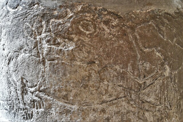
The most prominent feature of Crake Low is the Iron Age hillfort that once occupied the area. The hillfort is believed to have been constructed around 400 BC and was likely used as a defensive settlement. The earthworks and ramparts of the hillfort still remain, although they have weathered over time.
Crake Low also holds historical importance due to its association with the Roman period. Excavations have unearthed evidence of Roman occupation, including pottery fragments and coins. This suggests that the site was repurposed and occupied during Roman times.
In addition to its archaeological significance, Crake Low is also known for its natural beauty. The site is surrounded by lush greenery, making it a popular destination for nature lovers and hikers. The hilltop location offers stunning views of the rolling hills and valleys, providing a perfect backdrop for outdoor enthusiasts.
Crake Low is easily accessible, with a well-maintained footpath leading visitors to the summit. Interpretive signs along the way provide informative insights into the site's history and archaeology, enhancing the visitor experience.
Overall, Crake Low in Derbyshire is a heritage site of great importance, offering a glimpse into the region's past. Its combination of historical significance and natural beauty makes it a must-visit destination for history buffs and nature enthusiasts alike.
If you have any feedback on the listing, please let us know in the comments section below.
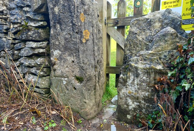
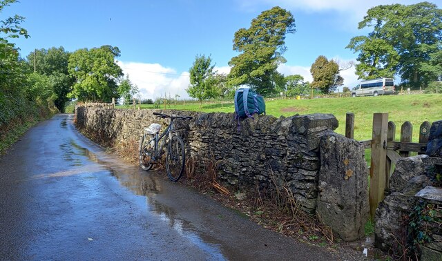
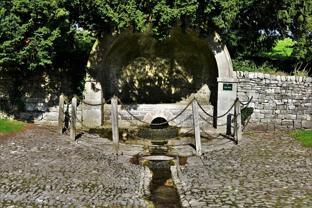
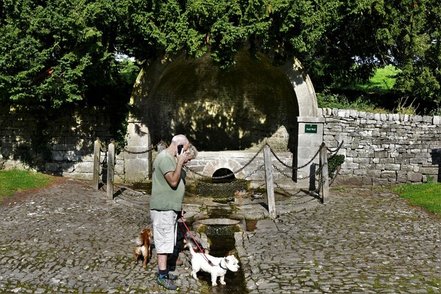
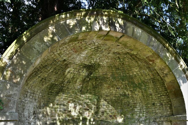
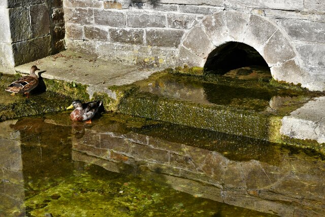
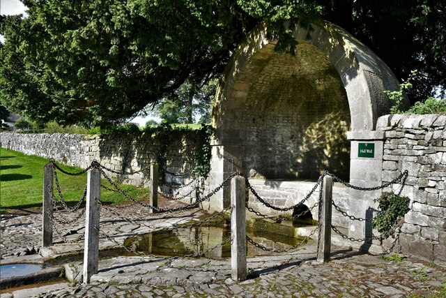
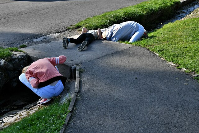
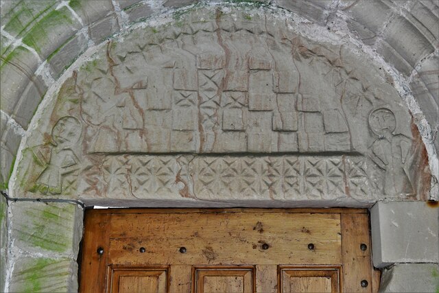
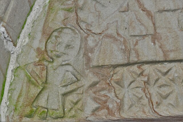
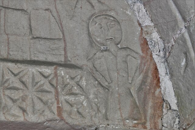
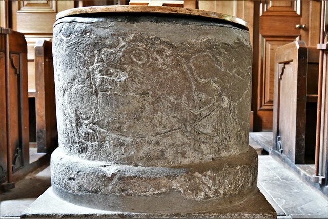
Crake Low Images
Images are sourced within 2km of 53.078/-1.738 or Grid Reference SK1753. Thanks to Geograph Open Source API. All images are credited.

Crake Low is located at Grid Ref: SK1753 (Lat: 53.078, Lng: -1.738)
Administrative County: Derbyshire
District: Derbyshire Dales
Police Authority: Derbyshire
What 3 Words
///dusters.canine.swimmer. Near Ashbourne, Derbyshire
Nearby Locations
Related Wikis

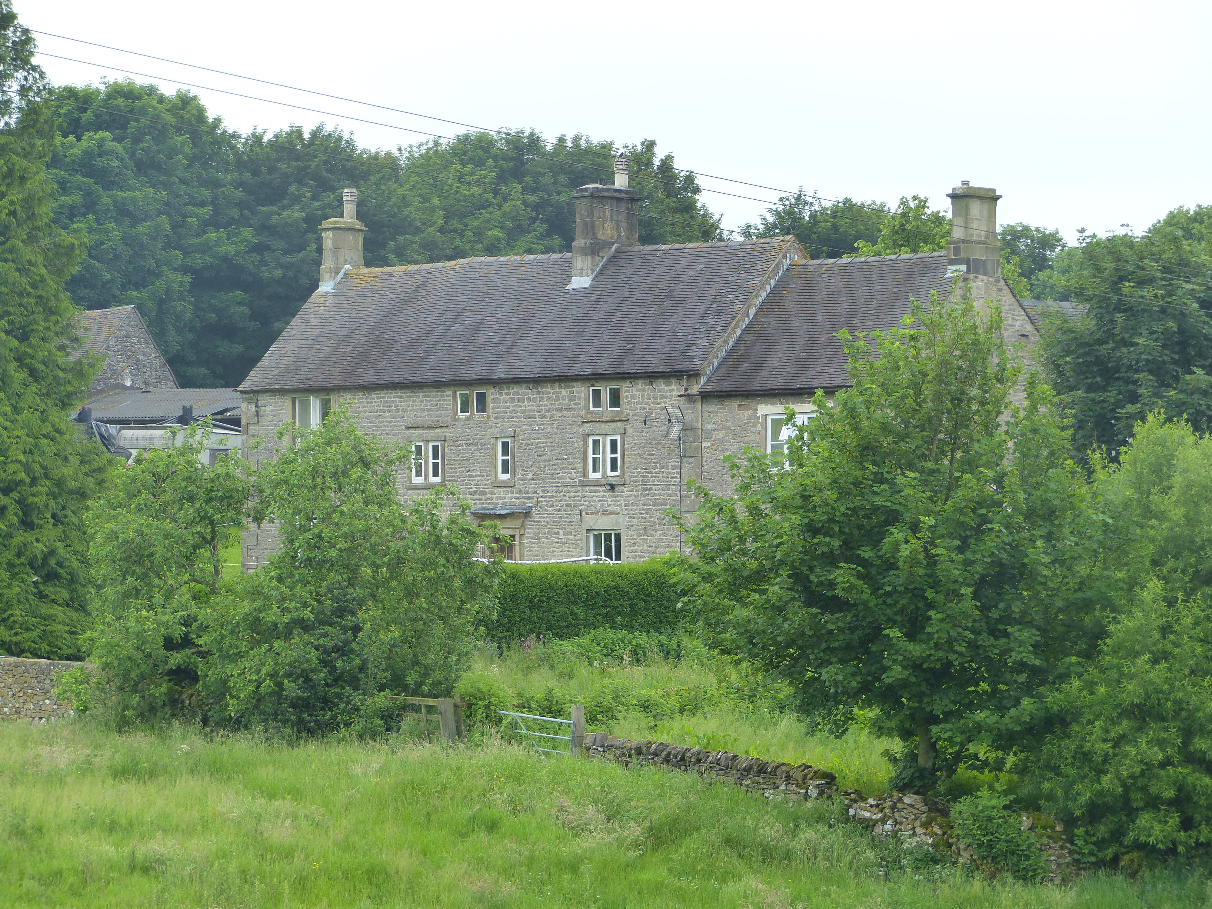
Tissington
Tissington is a village and former civil parish, now in the parish of Tissington and Lea Hall, in the Derbyshire Dales district of Derbyshire, England...
Tissington and Lea Hall
Tissington and Lea Hall is a civil parish within the Derbyshire Dales district, which is in the county of Derbyshire, England. Named for its settlements...

Ashbourne line
The Ashbourne line was a 33+1⁄2 mi (53.9 km) railway from Buxton via Ashbourne to Uttoxeter. It was built by the London and North Western Railway using...

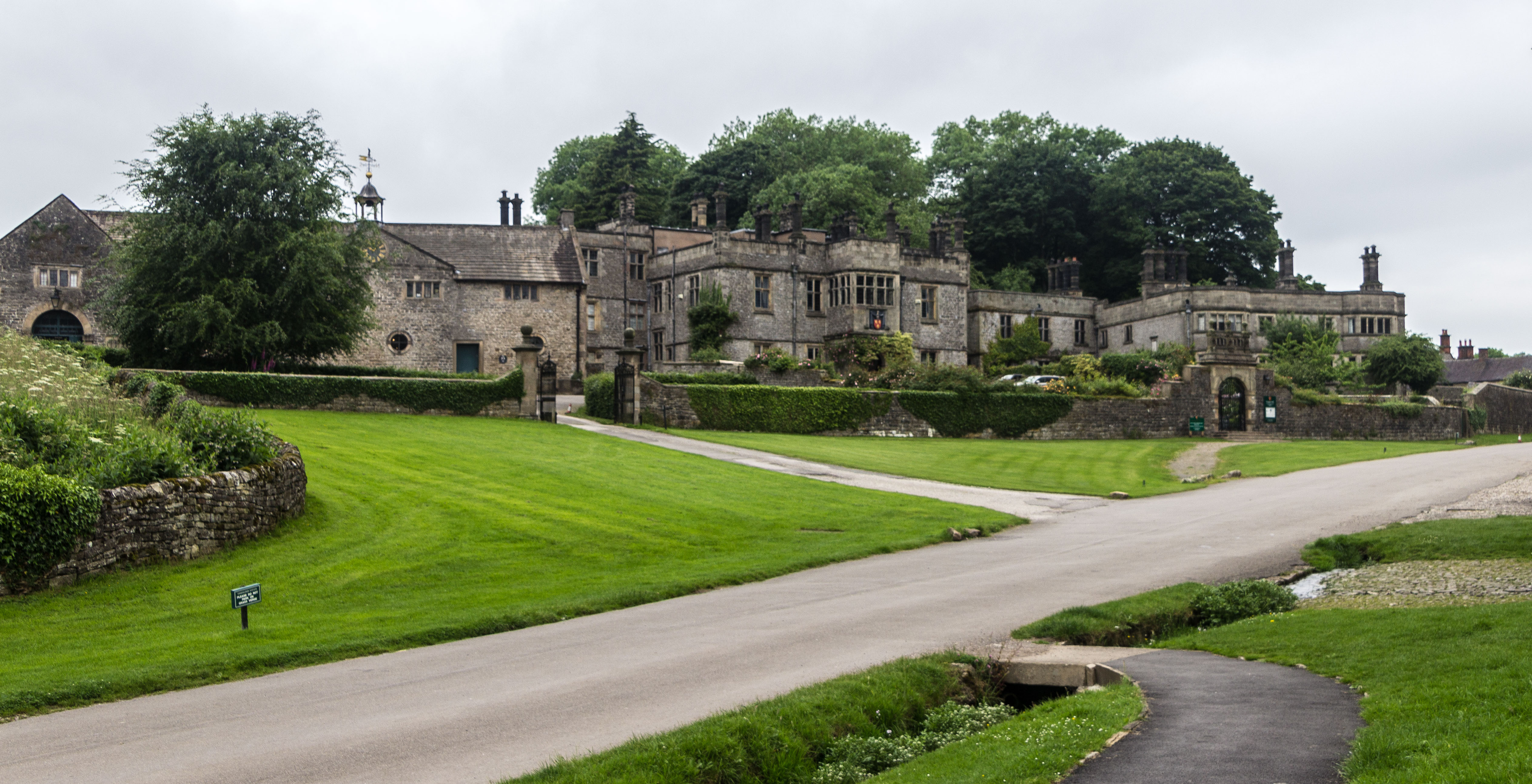
Tissington Hall
Tissington Hall is an early 17th-century Jacobean mansion house in Tissington, near Ashbourne, Derbyshire. It is a Grade II* listed building. The FitzHerberts...

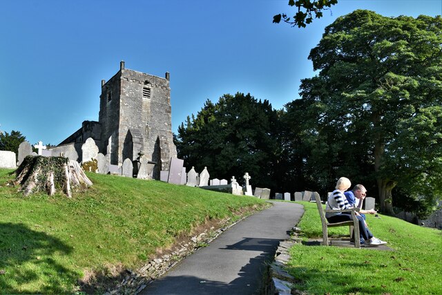
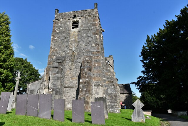
St Mary's Church, Tissington
St Mary’s Church, Tissington is a Grade II* listed parish church in the Church of England in Tissington, Derbyshire. == History == The church dates from...

Tissington railway station
Tissington railway station is a disused British railway station near Tissington (grid reference SK177521), a village in Derbyshire near Ashbourne. It...
Newton Grange, Derbyshire
Newton Grange is a civil parish in the Derbyshire Dales district of central Derbyshire. For administrative purposes it shares a parish council with the...

St Peter's Church, Parwich
St Peter’s Church, Parwich is a Grade II* listed parish church in the Church of England in Parwich, Derbyshire. == History == The medieval church was demolished...
Nearby Amenities
Located within 500m of 53.078,-1.738Have you been to Crake Low?
Leave your review of Crake Low below (or comments, questions and feedback).