Bawd How Hill

Hill, Mountain in Yorkshire Harrogate

England

Bawd How Hill

The Shooting Lodge on Carle Moor Lonely and isolated building of Carle Moor, visible for miles around especially from the south.
The Shooting Lodge on Carle Moor Credit: Chris Heaton

Bawd How Hill is a prominent hill located in the Yorkshire Dales, a picturesque region in Northern England. Situated in the heart of Yorkshire, it is a part of the wider North York Moors National Park, which is renowned for its breathtaking landscapes and diverse wildlife.

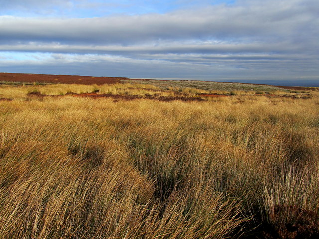
Rising to an elevation of approximately 1,348 feet (411 meters), Bawd How Hill offers stunning panoramic views of the surrounding countryside. Its prominent position allows visitors to see the expansive moors, lush valleys, and rolling hills that define the Yorkshire landscape.

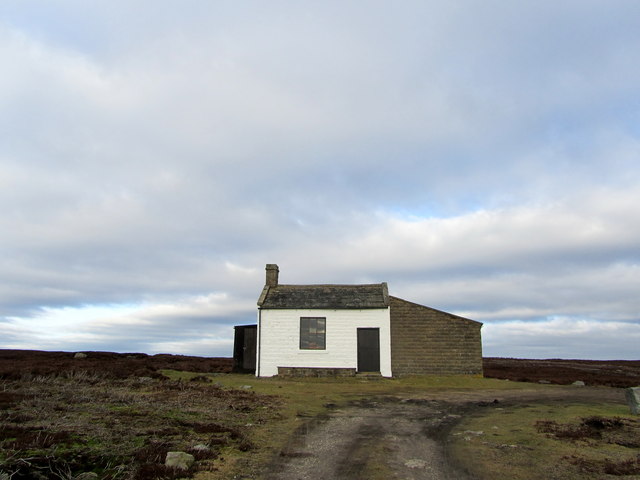
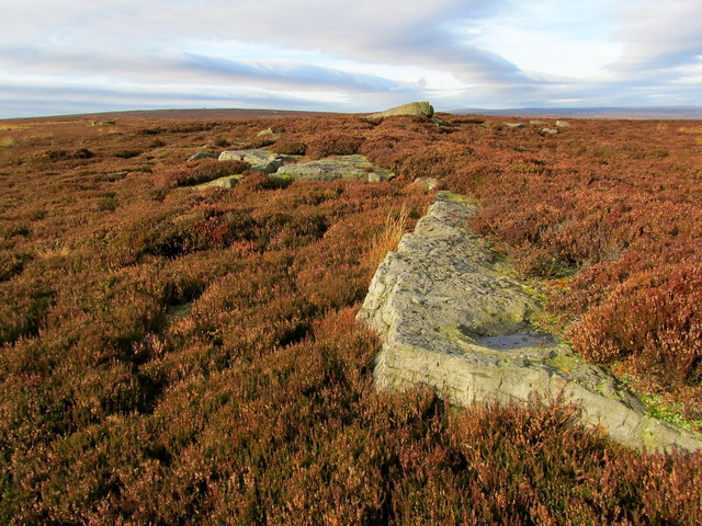
The hill is covered in heather and grass, creating a vibrant and colorful scene, particularly during the summer months when the heather blooms into a beautiful purple hue. The hill is also home to a variety of wildlife, including birds of prey such as kestrels and buzzards, as well as smaller mammals like hares and rabbits.

Bawd How Hill is a popular destination for hikers and nature enthusiasts due to its accessibility and the presence of several walking trails that traverse the area. The hill offers a range of routes suitable for all abilities, from gentle strolls to more challenging hikes. Along the way, visitors can enjoy the peacefulness of the countryside and immerse themselves in the natural beauty of Yorkshire.

Overall, Bawd How Hill is a picturesque and inviting destination for those seeking to explore the stunning landscapes of Yorkshire and experience the tranquility of the region.

If you have any feedback on the listing, please let us know in the comments section below.

Bawd How Hill Images

Images are sourced within 2km of 54.172217/-1.7335764 or Grid Reference SE1775. Thanks to Geograph Open Source API. All images are credited.

The Shooting Lodge on Carle Moor Lonely and isolated building of Carle Moor, visible for miles around especially from the south.
The Shooting Lodge on Carle Moor
Lonely and isolated building of Carle Moor, visible for miles around especially from the south.
Maiden Crags This seems rather a grand name for a line of small gritstone outcrops scattered along the moor - perhaps Maiden Stones would be more appropriate
Maiden Crags
This seems rather a grand name for a line of small gritstone outcrops scattered along the moor - perhaps Maiden Stones would be more appropriate
Black Dike or Gutter The location of the watercourse is indicated by the rushes that choke the little dike
Black Dike or Gutter
The location of the watercourse is indicated by the rushes that choke the little dike
Looking towards Carle Tower As seen from the ruined sheep shelter above Black Dike - I was intending to visit the sighting tower, but thick heather and two deep chasms persuaded me otherwise
Looking towards Carle Tower
As seen from the ruined sheep shelter above Black Dike - I was intending to visit the sighting tower, but thick heather and two deep chasms persuaded me otherwise
Ruined Stone Shelter on Kirkby Malzeard Moor Located high above Black Dike, this structure now resembles a badly constructed grouse butt
Ruined Stone Shelter on Kirkby Malzeard Moor
Located high above Black Dike, this structure now resembles a badly constructed grouse butt
Sheep pasture off Wreaks Lane The penultimate improved pasture as one goes westwards up Wreaks lane towards the moor. 19thC enclosure fields here and a view across to High House.
Sheep pasture off Wreaks Lane
The penultimate improved pasture as one goes westwards up Wreaks lane towards the moor. 19thC enclosure fields here and a view across to High House.
The moor gate, Wreaks Lane The gate on to open moorland at the western end of Wreaks Lane. Nineteenth century enclosures end at this point. Beyond is grouse moor, which in terms of income is probably more valuable than the enclosed and improved farmland.
The moor gate, Wreaks Lane
The gate on to open moorland at the western end of Wreaks Lane. Nineteenth century enclosures end at this point. Beyond is grouse moor, which in terms of income is probably more valuable than the enclosed and improved farmland.
Looking down Wreaks Lane Wreaks Lane drops steadily eastwards from the moor gate, eventually leading to Grewelthorpe. The edge of the Hambleton Hills just visible through the haze in the vale.
Looking down Wreaks Lane
Wreaks Lane drops steadily eastwards from the moor gate, eventually leading to Grewelthorpe. The edge of the Hambleton Hills just visible through the haze in the vale.
The last oak The final oak tree heading west along Wreaks Lane towards the open moor. Oaks thrive on the heavy clay soils around Grewelthorpe and Kirkby Malzeard, but this one is at a higher altitude than most and looks a little windblown.
The last oak
The final oak tree heading west along Wreaks Lane towards the open moor. Oaks thrive on the heavy clay soils around Grewelthorpe and Kirkby Malzeard, but this one is at a higher altitude than most and looks a little windblown.
Hawset Ford This ford is found on the Carlesmoor Beck at Hawset.
Hawset Ford
This ford is found on the Carlesmoor Beck at Hawset.
Ford at Hawset This is one of a number of minor fords on the track at Hawset.
Ford at Hawset
This is one of a number of minor fords on the track at Hawset.
Residents of Stock Beck House Looking back through entries on 'Geograph' I note that I photographed this ruin in 2009 when it still had a roof. Now in a much worse state of decay, although the resident poultry don't seem to mind. There's always a flock of chickens here, and one wonders who takes care of them as farm houses are some distance away.
Residents of Stock Beck House
Looking back through entries on 'Geograph' I note that I photographed this ruin in 2009 when it still had a roof. Now in a much worse state of decay, although the resident poultry don't seem to mind. There's always a flock of chickens here, and one wonders who takes care of them as farm houses are some distance away.
Newlands House Newlands House is situated at around the 270m contour and must be right on the edge of productive farmland as the moor begins a little further west. A high and draughty location.
Newlands House
Newlands House is situated at around the 270m contour and must be right on the edge of productive farmland as the moor begins a little further west. A high and draughty location.
Moor gate at the head of Wreaks Lane A similar shot to one taken by me five years earlier, but from the opposite side of the gate. This is looking downhill from the moor edge into farmland with the tower of Kirkby Malzeard church prominent in the distance.
Moor gate at the head of Wreaks Lane
A similar shot to one taken by me five years earlier, but from the opposite side of the gate. This is looking downhill from the moor edge into farmland with the tower of Kirkby Malzeard church prominent in the distance.
View across Cat Gill Moorland ahead and to the left with an unnamed conifer plantation to the right. This is the edge of grouse moor, the scattered trees on the horizon being at about SE171778, with a corner of Druid's Plantation visible extreme right.
View across Cat Gill
Moorland ahead and to the left with an unnamed conifer plantation to the right. This is the edge of grouse moor, the scattered trees on the horizon being at about SE171778, with a corner of Druid's Plantation visible extreme right.
Rowan tree on the moor This lonely rowan, unlike those at lower altitudes, seems to have lost most of its berries and some of its leaves already, but then it is exposed to strong winds here. The track is that heading towards Ilton and is still classed as a county road, hardly suitable for any vehicle other than a sturdy 4X4.
Rowan tree on the moor
This lonely rowan, unlike those at lower altitudes, seems to have lost most of its berries and some of its leaves already, but then it is exposed to strong winds here. The track is that heading towards Ilton and is still classed as a county road, hardly suitable for any vehicle other than a sturdy 4X4.
Grouse moor above Ilton The eastern flanks of the Pennines are generally heather covered and are split into several sporting estates. In the distance is Arnagill sighting tower, dating from the time when an aqueduct/pipeline was being constructed from Roundhill Reservoir towards Harrogate. Beyond that on the horizon is the rounded shape of Great Haw at 542m.
Grouse moor above Ilton
The eastern flanks of the Pennines are generally heather covered and are split into several sporting estates. In the distance is Arnagill sighting tower, dating from the time when an aqueduct/pipeline was being constructed from Roundhill Reservoir towards Harrogate. Beyond that on the horizon is the rounded shape of Great Haw at 542m.
Junction of tracks on the moor Both these tracks are almost certainly still classed as county roads, and I have in the past seen 'white van man' attempt one of them using a satnav. [He soon retreated]  They are remnants of ancient trackways across the moors dating back to the medieval period when both Byland and Fountains Abbeys held lands in Nidderdale and used these routes to transport goods and animals eastwards towards the abbeys and to Kirkby Malzeard which had a market charter from 1307.
Junction of tracks on the moor
Both these tracks are almost certainly still classed as county roads, and I have in the past seen 'white van man' attempt one of them using a satnav. [He soon retreated] They are remnants of ancient trackways across the moors dating back to the medieval period when both Byland and Fountains Abbeys held lands in Nidderdale and used these routes to transport goods and animals eastwards towards the abbeys and to Kirkby Malzeard which had a market charter from 1307.
Show me another place!

Bawd How Hill is located at Grid Ref: SE1775 (Lat: 54.172217, Lng: -1.7335764)

Division: West Riding

Administrative County: North Yorkshire

District: Harrogate

Police Authority: North Yorkshire

What 3 Words

///length.lightens.needed. Near Masham, North Yorkshire

Nearby Locations

Bawd How Hill

Related Wikis

Roundhill Reservoir

Roundhill Reservoir is situated near Leighton Reservoir in North Yorkshire, England. It was constructed by Harrogate Corporation early in the 20th century...

Dallowgill

Dallowgill (historically also Dallaghill) is a village in Harrogate district in North Yorkshire, England. It consists of a number of scattered settlements...

Ilton, North Yorkshire

Ilton is a village in North Yorkshire, England, 3 miles south-west of Masham. It is the principal settlement in the civil parish of Ilton cum Pott, in...

Leighton Reservoir

Leighton Reservoir is a reservoir which drains via the River Burn to the River Ure in North Yorkshire, England. It neighbours Roundhill Reservoir and is...

Nearby Amenities

Located within 500m of 54.172217,-1.7335764
Reservoir Sighting Tower
Building: yes
Source: NPE
Lat/Long: 54.175853/-1.7346768
The data included in this document is from www.openstreetmap.org. The data is made available under ODbL.

Have you been to Bawd How Hill?

Leave your review of Bawd How Hill below (or comments, questions and feedback).