Warren Hill
Hill, Mountain in Yorkshire Harrogate
England
Warren Hill
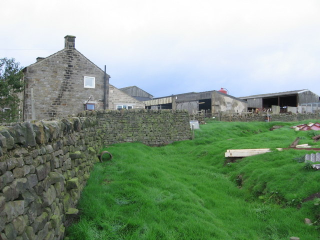
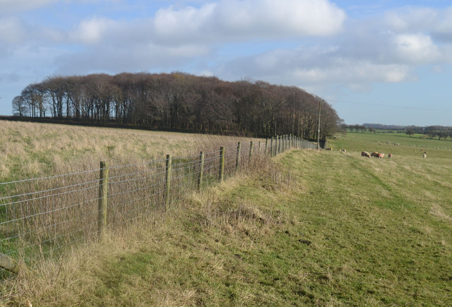
Warren Hill is a prominent geographical feature located in the county of Yorkshire, England. Situated in the heart of the Yorkshire Dales National Park, this hill/mountain is known for its stunning natural beauty and picturesque surroundings. Rising to a height of approximately 397 meters (1,302 feet), Warren Hill offers breathtaking panoramic views of the surrounding countryside.
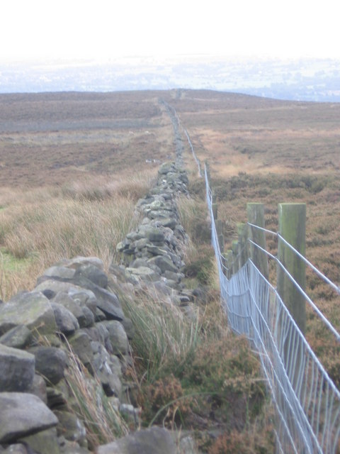
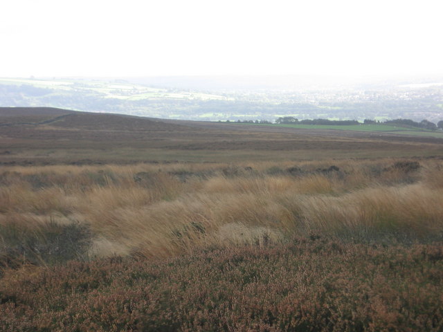
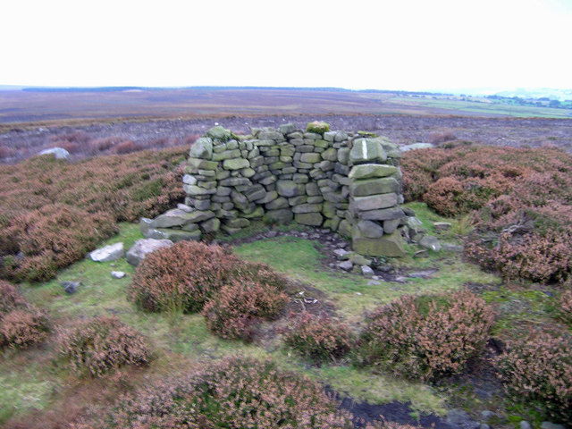
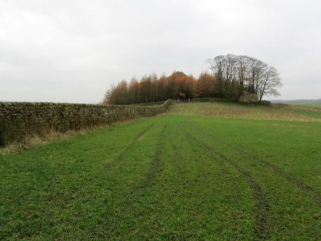
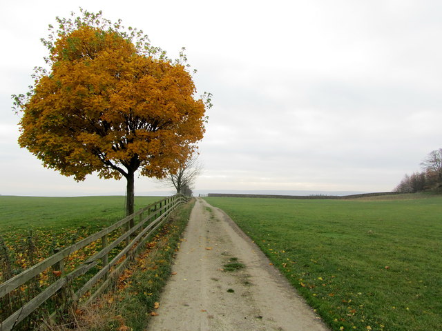
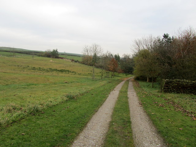
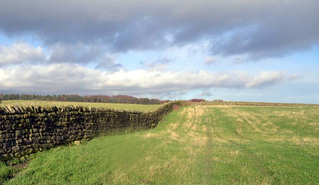
The hill is characterized by its rugged terrain, with steep slopes covered in rich green vegetation, rocky outcrops, and scattered patches of woodland. Its distinctive shape, with a gently curving ridge, adds to its allure. Warren Hill is a popular destination for both nature enthusiasts and hikers, attracting visitors from near and far who come to explore its diverse landscape.
The area surrounding Warren Hill is home to a wide variety of flora and fauna, with numerous species of plants and animals thriving in this natural habitat. Visitors can often spot a range of bird species, including buzzards, kestrels, and peregrine falcons, soaring above the hill. Additionally, Warren Hill is also home to several species of mammals, such as rabbits, foxes, and deer.
With its tranquil atmosphere and unspoiled surroundings, Warren Hill offers a peaceful respite from the bustling city life. Its accessibility through various walking trails and footpaths makes it a popular destination for outdoor activities such as hiking, photography, and nature observation. Whether one is seeking a challenging hike or simply a place to appreciate the beauty of nature, Warren Hill provides an unforgettable experience for all who visit.
If you have any feedback on the listing, please let us know in the comments section below.
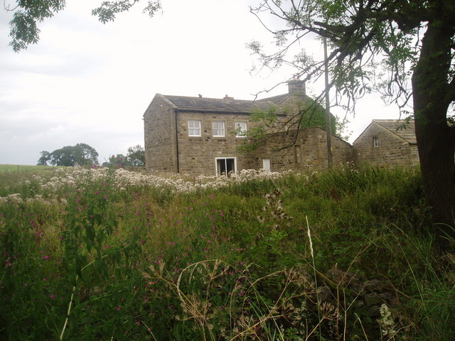
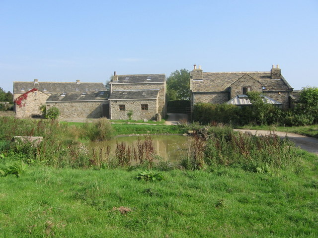
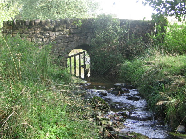
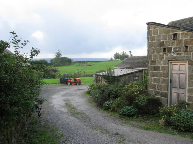
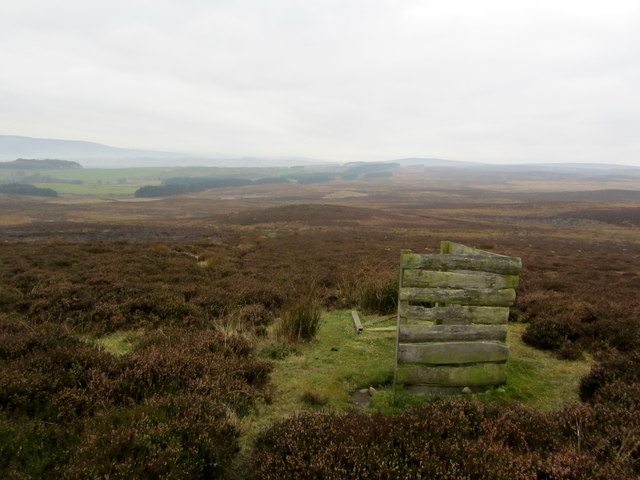
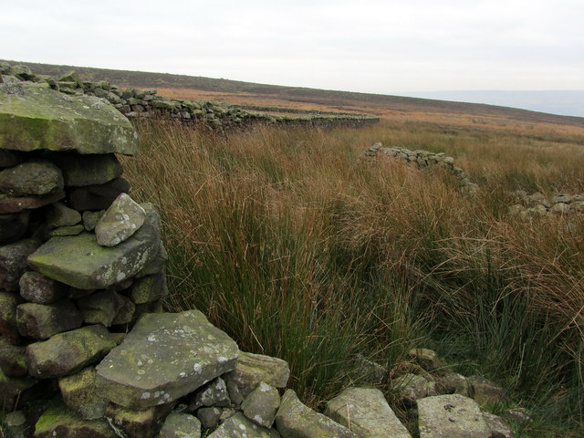
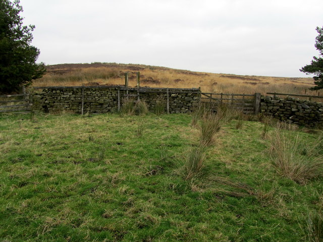
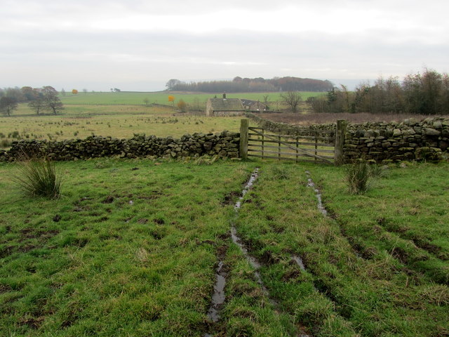
Warren Hill Images
Images are sourced within 2km of 53.944622/-1.7718961 or Grid Reference SE1549. Thanks to Geograph Open Source API. All images are credited.

Warren Hill is located at Grid Ref: SE1549 (Lat: 53.944622, Lng: -1.7718961)
Division: West Riding
Administrative County: North Yorkshire
District: Harrogate
Police Authority: North Yorkshire
What 3 Words
///beak.offshore.messed. Near Burley in Wharfedale, West Yorkshire
Nearby Locations
Related Wikis
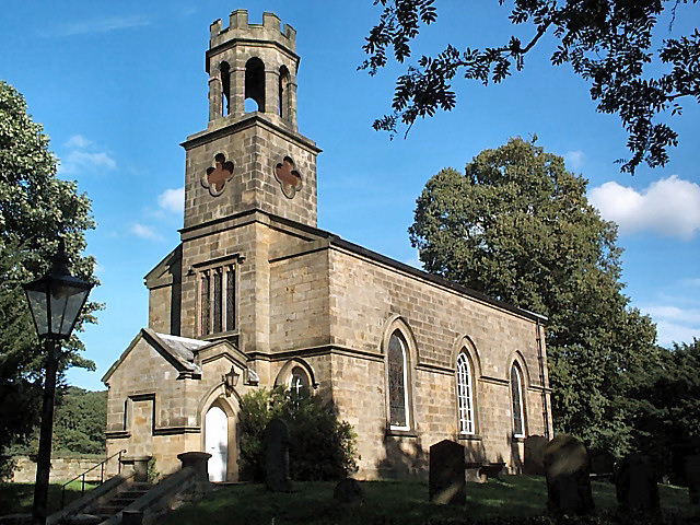
Church of St Helen, Denton
The Church of St Helen, Denton is a parish church in the hamlet of Denton, near Otley, in North Yorkshire, England. The church was built in 1776 by the...

Denton, North Yorkshire
Denton is a hamlet and civil parish in the Harrogate district of North Yorkshire, England. At the 2011 Census the population of this civil parish was less...

Denton Hall, Wharfedale
Denton Hall is an English country house located to the north of the River Wharfe, at Denton, Borough of Harrogate, North Yorkshire, England between Otley...

Ilkley Town A.F.C.
Ilkley Town Association Football Club is a football club based in Ilkley, England. They are currently members of the North West Counties League Division...
Yorkshire Heritage Way
The Yorkshire Heritage Way is a 42-mile (68 km) footpath in northern England. It links the contrasting cities of Bradford in West Yorkshire and Ripon in...

Askwith
Askwith is a village and civil parish in North Yorkshire, England, with a population of 220 (2001 census), increasing to 240 at the 2011 Census. The village...

Ben Rhydding railway station
Ben Rhydding railway station serves the Ben Rhydding area of Ilkley, West Yorkshire; it is situated about a mile east of the town centre. On the Wharfedale...

Ben Rhydding
Ben Rhydding is a village in the City of Bradford, West Yorkshire, England. It is part of the Ilkley urban area and civil parish. The village is situated...
Nearby Amenities
Located within 500m of 53.944622,-1.7718961Have you been to Warren Hill?
Leave your review of Warren Hill below (or comments, questions and feedback).