Cockshaw Hill

Hill, Mountain in Durham

England

Cockshaw Hill

Western end of Hummerbeck Lane, West Auckland Recently, Hummerbeck Lane has been designated as part of the Walney to Wear Cycle Route (National Cycle Network, Regional Route 20), and affords a traffic-free but rather muddy route for cyclists between Bishop Auckland and Barnard Castle. Looking north-east. At this point, the lane emerges onto Hilton Moor Lane.
Western end of Hummerbeck Lane, West Auckland Credit: Oliver Dixon

Cockshaw Hill is a prominent hill located in Durham, England. Situated on the outskirts of the city, it is a notable landmark in the area. The hill is part of the wider Durham Uplands, which comprises a range of elevations that surround the city.

Rising to an elevation of approximately 200 meters (656 feet), Cockshaw Hill offers breathtaking panoramic views of Durham and its surrounding countryside. The hill is primarily characterized by its gently sloping sides, covered in lush greenery and scattered with trees. Its natural beauty and tranquil atmosphere make it a popular destination for locals and tourists alike.

Cockshaw Hill is also home to a variety of wildlife, including birds, rabbits, and occasionally deer. The area surrounding the hill is known for its rich biodiversity and serves as an important habitat for many species.

One of the notable features of Cockshaw Hill is its historical significance. The hill has been inhabited since ancient times, with evidence of human activity dating back thousands of years. Archaeological excavations have uncovered remnants of settlements and burial sites, offering insights into the area's past.

Today, Cockshaw Hill is a popular spot for outdoor activities such as hiking, walking, and picnicking. Its accessibility and close proximity to Durham make it an ideal destination for those seeking a peaceful retreat or an opportunity to connect with nature.

If you have any feedback on the listing, please let us know in the comments section below.

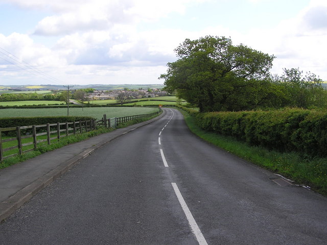
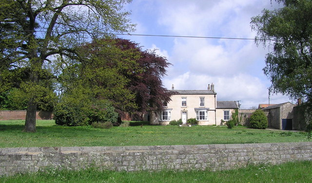
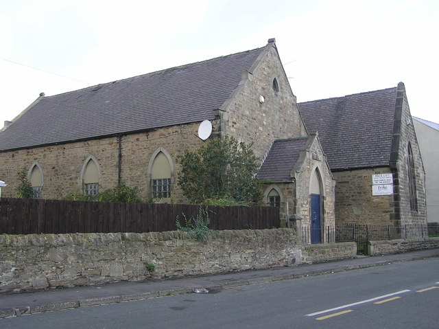
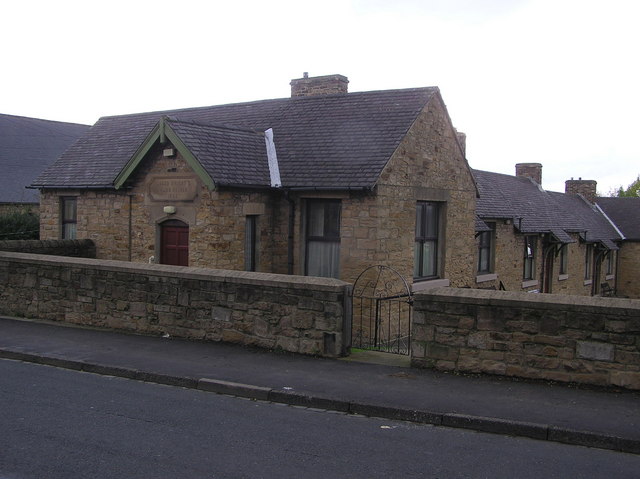
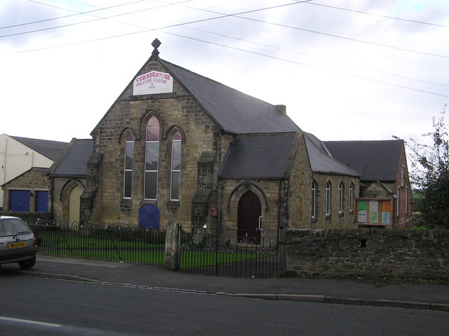
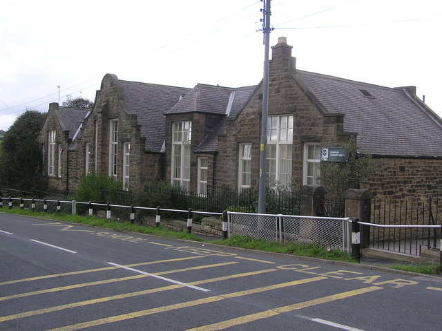
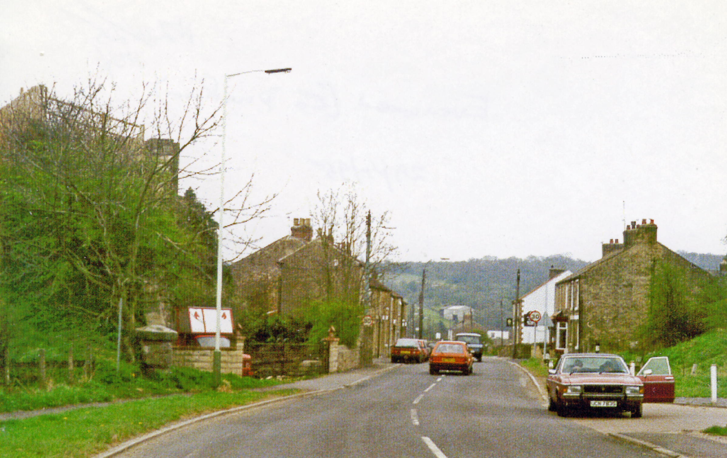
Cockshaw Hill Images

Images are sourced within 2km of 54.609529/-1.7685079 or Grid Reference NZ1523. Thanks to Geograph Open Source API. All images are credited.

Western end of Hummerbeck Lane, West Auckland Recently, Hummerbeck Lane has been designated as part of the Walney to Wear Cycle Route (National Cycle Network, Regional Route 20), and affords a traffic-free but rather muddy route for cyclists between Bishop Auckland and Barnard Castle. Looking north-east. At this point, the lane emerges onto Hilton Moor Lane.
Western end of Hummerbeck Lane, West Auckland
Recently, Hummerbeck Lane has been designated as part of the Walney to Wear Cycle Route (National Cycle Network, Regional Route 20), and affords a traffic-free but rather muddy route for cyclists between Bishop Auckland and Barnard Castle. Looking north-east. At this point, the lane emerges onto Hilton Moor Lane.
Hilton Moor Farm, near West Auckland Hilton Moor Farm set in rolling pasture. Looking north.
Hilton Moor Farm, near West Auckland
Hilton Moor Farm set in rolling pasture. Looking north.
The Sun  Inn On the A688 near Wackerfield
The Sun Inn
On the A688 near Wackerfield
Brown Jug Inn : Evenwood Gate On the A688.
Brown Jug Inn : Evenwood Gate
On the A688.
Travellers Rest : Evenwood
Lane from Cockfield to  Evenwood
Lane from Cockfield to Evenwood
Esperley Lane Looking north to Esperley Lane Ends, with Gordon House Cottage on the left.
Esperley Lane
Looking north to Esperley Lane Ends, with Gordon House Cottage on the left.
Keverstone Grange
Keverstone Grange
Low Keverstone with South Cleatlam
Valetha House : Wackerfield Raby Estates House.
Valetha House : Wackerfield
Raby Estates House.
Hummerbeck Lane From the Hilton Moor end. In my youth it was known as 'Green Lonnan' and further north it was the gathering point for 'pitch and toss' gamblers on the Sabbath.
Hummerbeck Lane
From the Hilton Moor end. In my youth it was known as 'Green Lonnan' and further north it was the gathering point for 'pitch and toss' gamblers on the Sabbath.
View of Brusselton Hill from Hilton Moor The A68 from Corbridge to Darlington passes up Bildershaw Bank this side of the summit.
View of Brusselton Hill from Hilton Moor
The A68 from Corbridge to Darlington passes up Bildershaw Bank this side of the summit.
Evenwood Gate The two houses at the end of the terrace (#36/37 with the higher roof) were home to my paternal Grandfather's large family in the early 1900's.
Evenwood Gate
The two houses at the end of the terrace (#36/37 with the higher roof) were home to my paternal Grandfather's large family in the early 1900's.
New Moors farm Being farmed by my paternal Great Grandfather at the time of the 1901 census. It is now advertised as 'An Olympic Equestrian Centre'
New Moors farm
Being farmed by my paternal Great Grandfather at the time of the 1901 census. It is now advertised as 'An Olympic Equestrian Centre'
Evenwood Congregational Church (dated 1906) This former Church, now a Factory Furniture Warehouse on Swan Street.
Evenwood Congregational Church (dated 1906)
This former Church, now a Factory Furniture Warehouse on Swan Street.
Jacob Wright Almshouse : (dated 1885)  Swan Street : Evenwood Miners Welfare Cottages
Jacob Wright Almshouse : (dated 1885) Swan Street : Evenwood
Miners Welfare Cottages
Wesleyan Chapel (dated 1876) Cornerstone Christian Centre, Swan Street, Evenwood.
Wesleyan Chapel (dated 1876)
Cornerstone Christian Centre, Swan Street, Evenwood.
Ramshaw Primary School : Oaks Bank
Show me another place!

Cockshaw Hill is located at Grid Ref: NZ1523 (Lat: 54.609529, Lng: -1.7685079)

Unitary Authority: County Durham

Police Authority: Durham

What 3 Words

///nobody.covertly.cloud. Near Evenwood, Co. Durham

Nearby Locations

Cockshaw Hill

Related Wikis

Wackerfield

Wackerfield is a hamlet in County Durham, in England. It is situated to the north west of Darlington. At the 2011 Census the population was less than 100...

Evenwood Gate

Evenwood Gate is a small village in County Durham, England. It is situated to the south west of Bishop Auckland, close to Evenwood. == References... ==

Evenwood

Evenwood is a village in County Durham, in England. It is situated to the south west of Bishop Auckland. It is in the civil parish of Evenwood and Barony...

Esperley Lane Ends

Esperley Lane Ends is a village in County Durham, in England. It is situated a few miles to the north west of Darlington, between Cockfield and Evenwood...

Lands railway station

Lands railway station served the hamlet of Low Lands, County Durham, England, from 1858 to 1872 on the Haggerleases branch of the Stockton and Darlington...

Evenwood railway station

Evenwood railway station served the village of Evenwood, County Durham, England from 1858 to 1962 on the South Durham and Lancashire Union Railway. �...

Ramshaw, Bishop Auckland

Ramshaw is a village in County Durham, in England. It is situated to the south-west of Bishop Auckland. Ramshaw was originally a mining village and is...

Cockfield, County Durham

Cockfield is a village on the edge of Teesdale, County Durham, England. It is situated 8 miles to the south-west of Bishop Auckland, 15 miles (24 km) north...

Nearby Amenities

Located within 500m of 54.609529,-1.7685079
Cocksure Hill
Is In Country Code: GB
Is In County: County Durham
Natural: peak
Lat/Long: 54.6097555/-1.7684593
The data included in this document is from www.openstreetmap.org. The data is made available under ODbL.

Have you been to Cockshaw Hill?

Leave your review of Cockshaw Hill below (or comments, questions and feedback).