Barley Hill
Hill, Mountain in Durham
England
Barley Hill

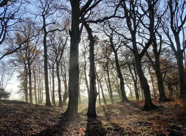
Barley Hill is a prominent geographical feature located in the county of Durham, England. Situated in the northern part of the county, it is part of the larger Pennines range, which stretches across several counties in northern England. Barley Hill is a relatively small hill, standing at an elevation of approximately 426 meters (1,398 feet) above sea level.
The hill is characterized by its gentle slopes, covered with lush green grass and scattered with patches of heather and bracken. It offers panoramic views of the surrounding countryside, with sprawling farmland, quaint villages, and distant hills dotting the landscape. On clear days, the hill provides a stunning vantage point to admire the beauty of Durham's countryside.
Barley Hill is a popular destination for hikers, nature enthusiasts, and locals seeking a peaceful retreat. Several footpaths and trails traverse the hill, allowing visitors to explore its scenic surroundings. The hill's peaceful atmosphere and unspoiled natural beauty make it an ideal spot for picnics, photography, and relaxation.
The area surrounding Barley Hill is known for its rich biodiversity, with a variety of plant and animal species inhabiting the hill and its surroundings. It is home to numerous bird species, including skylarks, meadow pipits, and kestrels, making it a haven for birdwatchers.
Barley Hill is easily accessible by road, with nearby parking facilities available for visitors. Its close proximity to Durham city center, approximately 10 kilometers (6 miles) away, makes it a popular day trip destination for both locals and tourists alike.
If you have any feedback on the listing, please let us know in the comments section below.
Barley Hill Images
Images are sourced within 2km of 54.849522/-1.7672153 or Grid Reference NZ1550. Thanks to Geograph Open Source API. All images are credited.


Barley Hill is located at Grid Ref: NZ1550 (Lat: 54.849522, Lng: -1.7672153)
Unitary Authority: County Durham
Police Authority: Durham
What 3 Words
///sleeps.lecturing.tactical. Near Annfield Plain, Co. Durham
Nearby Locations
Related Wikis

Stony Heap
Stony Heap is a hamlet in County Durham, in England. It is situated between Leadgate and Annfield Plain. There used to be 6 houses and 2 farms plus the...
Greencroft
Greencroft is a village and separately a parish in County Durham, England. Together, they are situated between Lanchester and Annfield Plain. Greencroft...

Derwentside
Derwentside was, from 1974 to 2009, a local government district in County Durham, England. The district took its name from the River Derwent, which made...
Annfield Plain railway station
Annfield Plain railway station was in County Durham in Northern England, on the original south section of the industrial Stanhope and Tyne Railway, which...

Catchgate
Catchgate is a former mining village in County Durham, England. It has a population of approximately 3,000 people. The nearest town is Stanley, also a...
Annfield Plain
Annfield Plain is a village in County Durham, in England. It is situated on a plateau between the towns of Stanley, 4 km (2.5 mi) to the north-east, and...
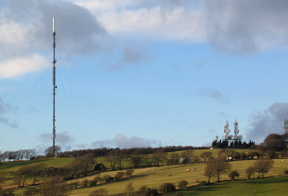
Pontop Pike transmitting station
The Pontop Pike transmitting station is a facility for telecommunications and broadcasting situated on a 312-metre (1,024-ft) high hill of the same name...
Green Croft and Langley Moor
'Green Croft and Langley Moor is a Site of Special Scientific Interest in the Derwentside district in north County Durham, England. It consists of three...
Nearby Amenities
Located within 500m of 54.849522,-1.7672153Have you been to Barley Hill?
Leave your review of Barley Hill below (or comments, questions and feedback).