Bunker's Hill
Hill, Mountain in Yorkshire Harrogate
England
Bunker's Hill
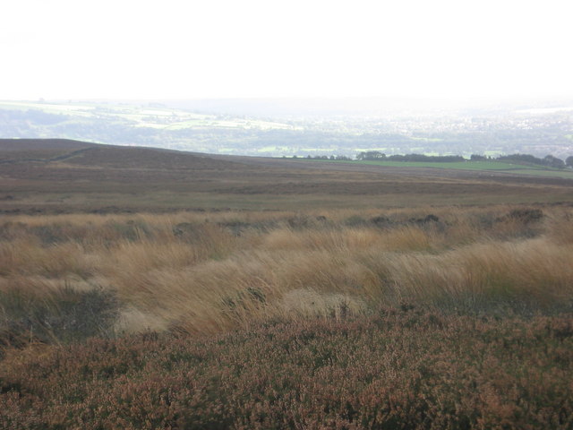
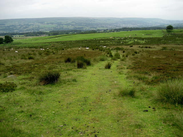
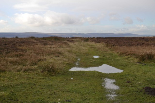
Bunker's Hill is a prominent hill located in the Yorkshire Dales National Park in Yorkshire, England. Standing at an elevation of approximately 600 meters (1,969 feet), it is one of the highest points in the region, offering breathtaking panoramic views of the surrounding landscape.
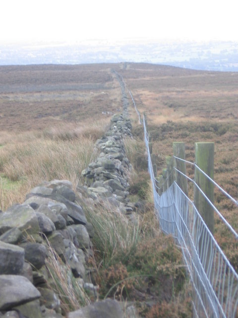
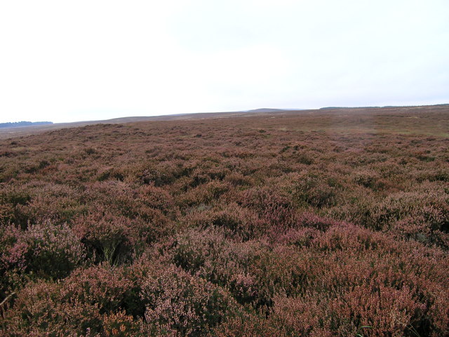
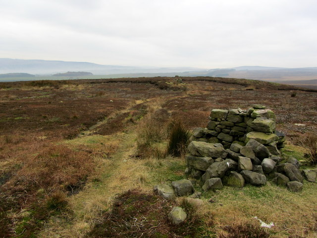
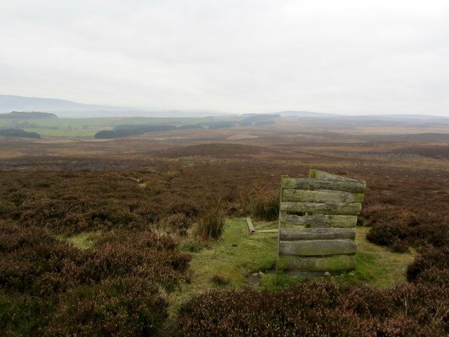
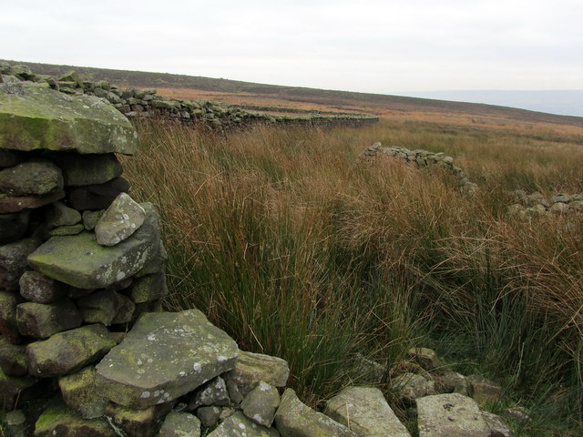
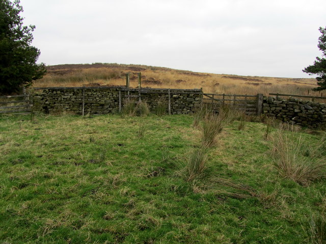
The hill is characterized by its rugged terrain, covered with heather, grasses, and scattered rocks. It is a popular destination for hikers, nature enthusiasts, and photographers, who are drawn to its natural beauty and tranquility. The hill is also home to a diverse range of wildlife, including various bird species, rabbits, and deer.
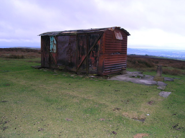
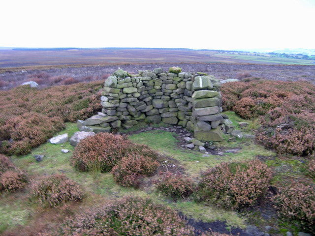
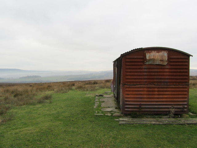
Bunker's Hill is steeped in history and has played a significant role in the local heritage. It is believed to have been named after an ancient burial mound that once stood atop its summit, although no visible remains exist today. The hill has witnessed various historical events, including battles and conflicts, and remnants of ancient fortifications can still be seen in some areas.
The hill is easily accessible by foot, with several well-marked trails leading to its summit. It is recommended to wear appropriate footwear and clothing, as the weather conditions can change quickly, and the terrain can be challenging.
Overall, Bunker's Hill is a picturesque and historically significant landmark in the Yorkshire Dales, offering visitors a chance to immerse themselves in nature, enjoy stunning views, and explore the rich cultural heritage of the region.
If you have any feedback on the listing, please let us know in the comments section below.
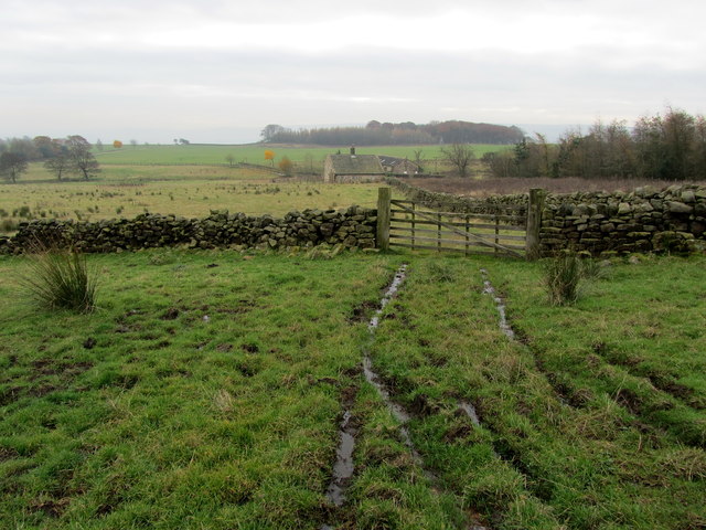
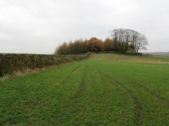
Bunker's Hill Images
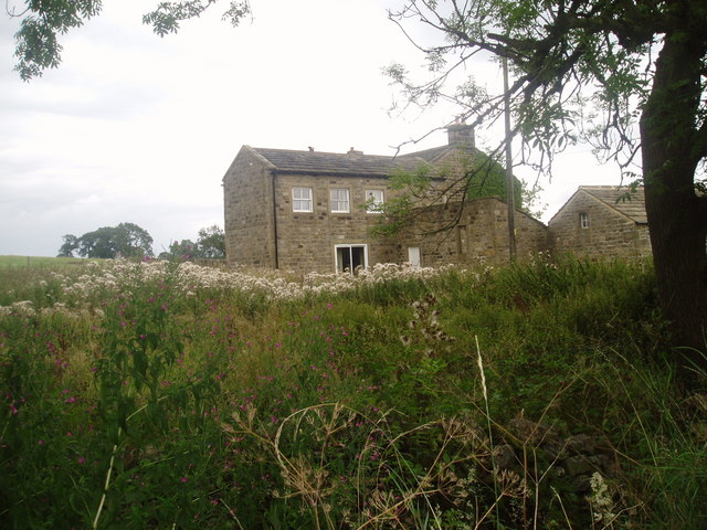
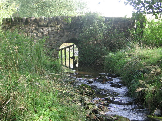
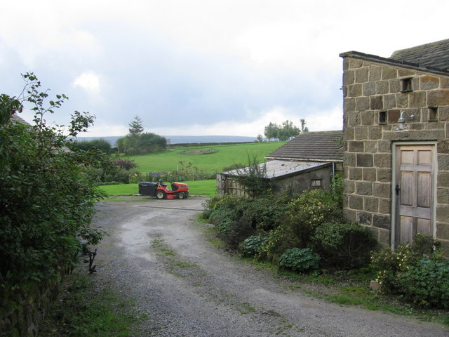
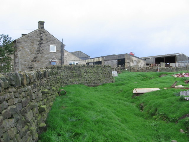
Images are sourced within 2km of 53.945583/-1.762384 or Grid Reference SE1549. Thanks to Geograph Open Source API. All images are credited.
Bunker's Hill is located at Grid Ref: SE1549 (Lat: 53.945583, Lng: -1.762384)
Division: West Riding
Administrative County: North Yorkshire
District: Harrogate
Police Authority: North Yorkshire
What 3 Words
///luggage.stiffly.accordion. Near Burley in Wharfedale, West Yorkshire
Nearby Locations
Related Wikis

Denton Hall, Wharfedale
Denton Hall is an English country house located to the north of the River Wharfe, at Denton, Borough of Harrogate, North Yorkshire, England between Otley...
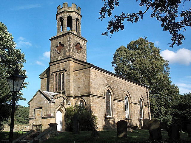
Church of St Helen, Denton
The Church of St Helen, Denton is a parish church in the hamlet of Denton, near Otley, in North Yorkshire, England. The church was built in 1776 by the...

Denton, North Yorkshire
Denton is a hamlet and civil parish in the Harrogate district of North Yorkshire, England. At the 2011 Census the population of this civil parish was less...

Askwith
Askwith is a village and civil parish in North Yorkshire, England, with a population of 220 (2001 census), increasing to 240 at the 2011 Census. The village...
Nearby Amenities
Located within 500m of 53.945583,-1.762384Have you been to Bunker's Hill?
Leave your review of Bunker's Hill below (or comments, questions and feedback).