Sandyflat Hill
Hill, Mountain in Yorkshire Richmondshire
England
Sandyflat Hill
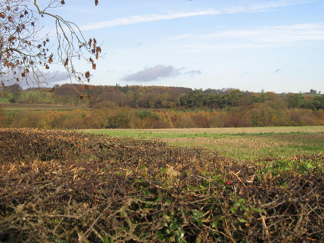
Sandyflat Hill, located in the county of Yorkshire, England, is a prominent hill that stands approximately 470 meters (1,542 feet) above sea level. Situated in the North York Moors National Park, it offers breathtaking panoramic views of the surrounding countryside. Sandyflat Hill is part of the Cleveland Hills, which are known for their distinctive heather-covered landscape and rich natural beauty.
The hill itself is characterized by its gently sloping sides, which are covered in a mixture of grasses, heather, and bracken. The summit of Sandyflat Hill is relatively flat and provides an excellent vantage point for visitors to take in the stunning vistas of the surrounding area, including the nearby towns of Guisborough and Great Ayton.
The area surrounding Sandyflat Hill is also home to a diverse range of wildlife, including birds of prey such as kestrels and buzzards, as well as various species of deer and small mammals. The hill is a popular destination for hikers and nature enthusiasts, who can explore the network of footpaths and trails that crisscross the landscape.
In addition to its natural beauty, Sandyflat Hill has historical significance, with evidence of human occupation dating back thousands of years. Archaeological remains, including burial mounds and stone circles, highlight the long-standing connection between people and this majestic landscape.
Overall, Sandyflat Hill in Yorkshire offers a unique blend of natural beauty, wildlife, and historical significance, making it a must-visit destination for those seeking to immerse themselves in the stunning landscapes of the North York Moors National Park.
If you have any feedback on the listing, please let us know in the comments section below.
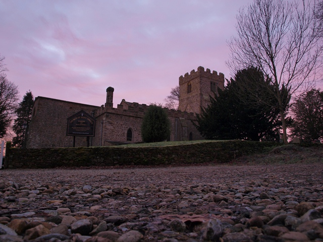
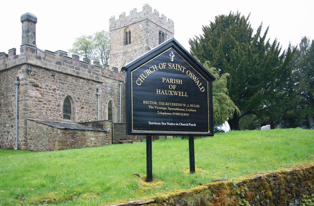
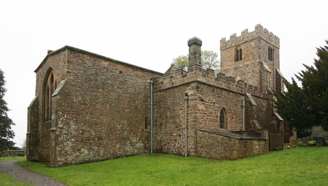
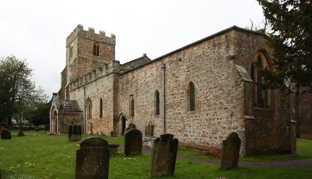
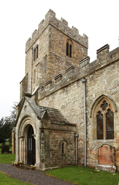
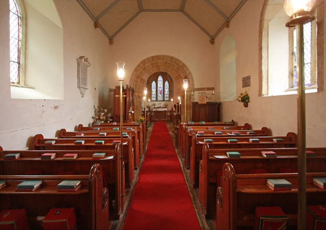
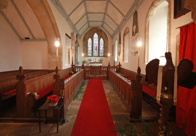
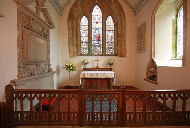
Sandyflat Hill Images
Images are sourced within 2km of 54.342536/-1.7691936 or Grid Reference SE1594. Thanks to Geograph Open Source API. All images are credited.

Sandyflat Hill is located at Grid Ref: SE1594 (Lat: 54.342536, Lng: -1.7691936)
Division: North Riding
Administrative County: North Yorkshire
District: Richmondshire
Police Authority: North Yorkshire
What 3 Words
///regretted.pesky.excavate. Near Catterick Garrison, North Yorkshire
Nearby Locations
Related Wikis

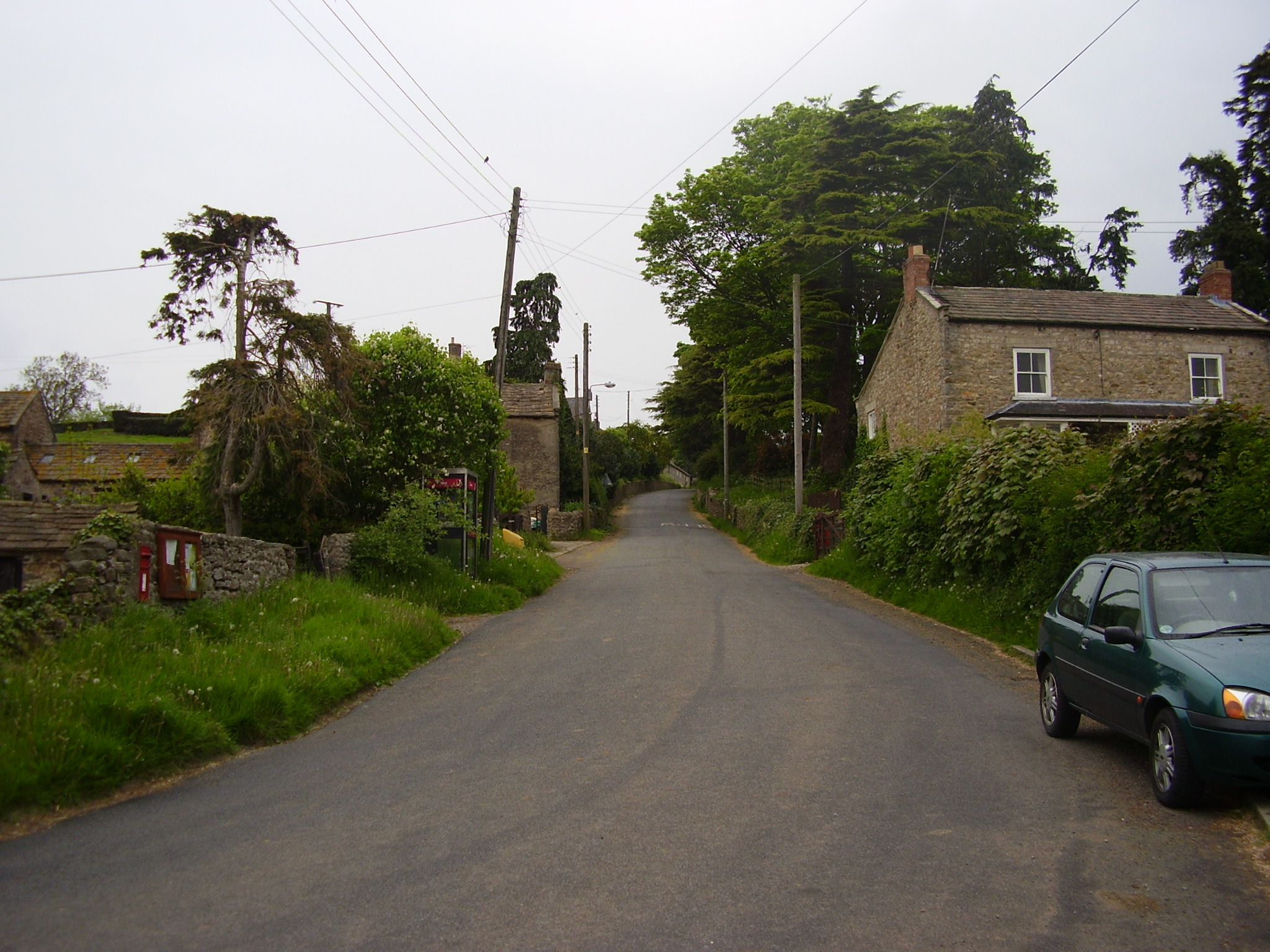
Barden, Richmondshire
Barden is a hamlet and civil parish in North Yorkshire, England. It is about 5 miles (8 km) south of Richmond. According to the 2001 census the parish...
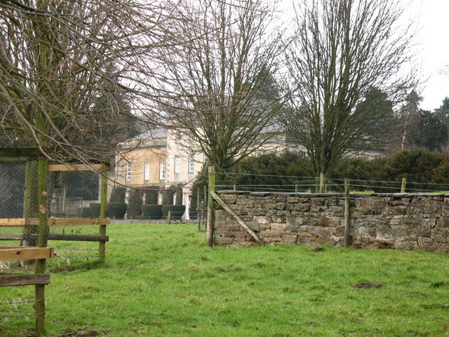
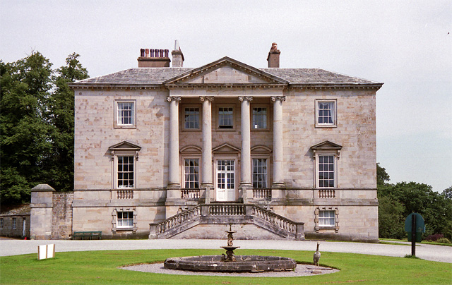
Hauxwell Hall
Hauxwell Hall or Hawkswell Hall is a grade II* listed 17th-century country house in West Hauxwell, North Yorkshire, England, some 5 miles (8 km) south...
Garriston
Garriston is a hamlet and civil parish north-east of Leyburn in North Yorkshire, England. In 2015, North Yorkshire County Council estimated the population...
East Hauxwell
East Hauxwell or Hauxwell is a village and civil parish in North Yorkshire, England. It is located south of Catterick Garrison.To the west of the village...
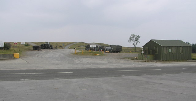
Hipswell Moor
Hipswell Moor is an area used for military training, near Catterick Garrison in North Yorkshire, England. It includes parts of the civil parishes of Barden...
Constable Burton Hall
Constable Burton Hall is a Grade I-listed Georgian country house of dressed stone in an extensive and well wooded park in the village of Constable Burton...

Constable Burton
Constable Burton is a village and civil parish in North Yorkshire, England. It is 3 miles (4.8 km) east of Leyburn. == History == The village takes its...

Walburn, North Yorkshire
Walburn is a hamlet and civil parish in North Yorkshire, England. It is located in lower Swaledale, 5 miles (8 km) south-west of Richmond. The population...
Nearby Amenities
Located within 500m of 54.342536,-1.7691936Have you been to Sandyflat Hill?
Leave your review of Sandyflat Hill below (or comments, questions and feedback).