Baley Hill

Hill, Mountain in Derbyshire Derbyshire Dales

England

Baley Hill

The start of a footpath to Alstonefield A narrow flight of steps leads off a narrow back lane at the start of a footpath, which climbs steeply out of Milldale towards Alstonefield.
The start of a footpath to Alstonefield Credit: Ian Calderwood

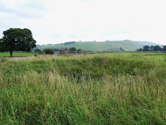
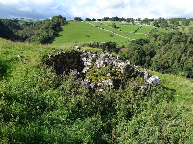
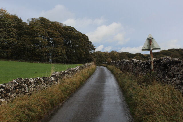
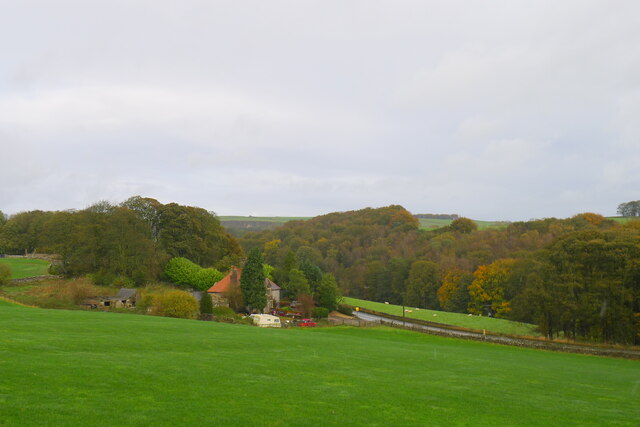
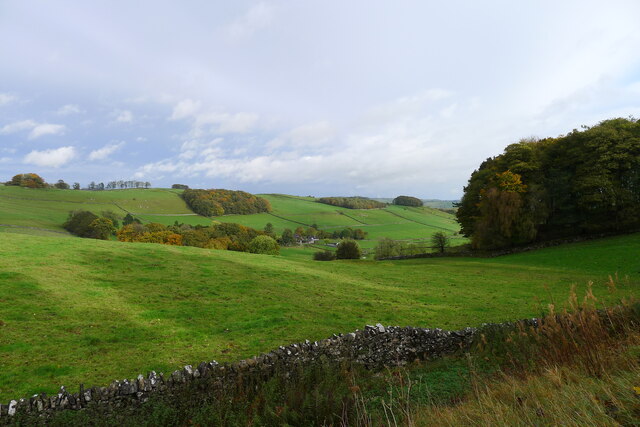
Baley Hill is a prominent hill located in the county of Derbyshire, England. It is situated near the town of Matlock Bath and offers stunning panoramic views of the surrounding countryside. Rising to an elevation of approximately 320 meters (1,050 feet), Baley Hill is considered one of the highest peaks in the area, making it a popular destination for outdoor enthusiasts and hikers.

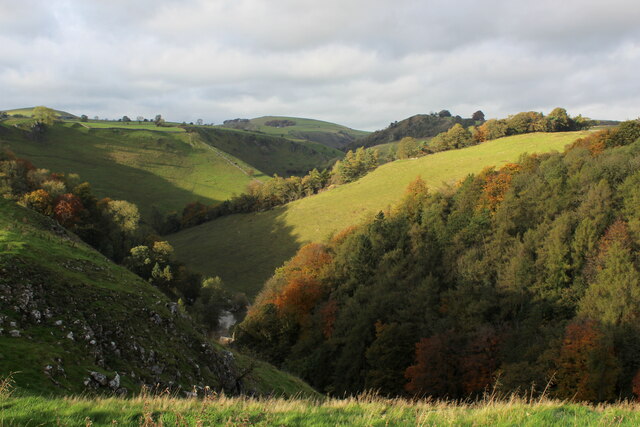
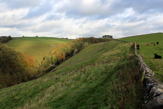
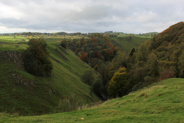
The hill is characterized by its distinctive shape, featuring a steep, grassy slope on one side and a more gentle incline on the other. This unique topography makes Baley Hill a challenging yet rewarding climb for those seeking a bit of adventure. Along the ascent, visitors can enjoy the lush greenery and diverse flora that flourish on the hill.

At the summit of Baley Hill, visitors are rewarded with breathtaking views that stretch as far as the eye can see. On clear days, the vistas encompass the picturesque Derbyshire Dales, with their rolling hills, quaint villages, and meandering rivers. The hill's strategic location also allows for glimpses of nearby landmarks such as the imposing Abraham Heights and the historic Riber Castle.

Baley Hill is a destination that appeals to both nature enthusiasts and history buffs. In addition to its natural beauty, the area is steeped in local folklore and historical significance. Visitors can explore the nearby towns and villages, which offer a glimpse into the region's past through their charming architecture and well-preserved heritage sites.

Overall, Baley Hill presents a stunning landscape and a rich cultural experience, making it a must-visit destination for anyone exploring the Derbyshire region.

If you have any feedback on the listing, please let us know in the comments section below.
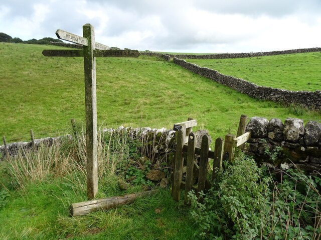
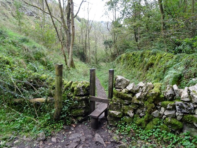
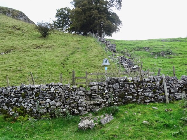
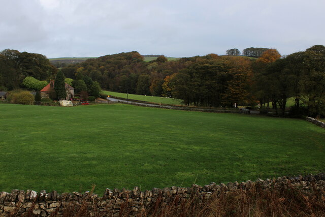
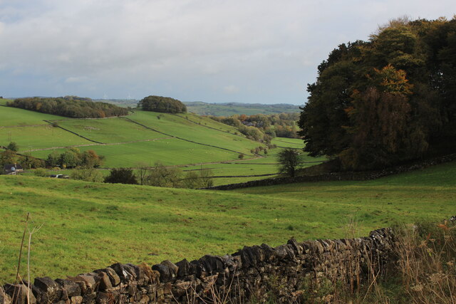
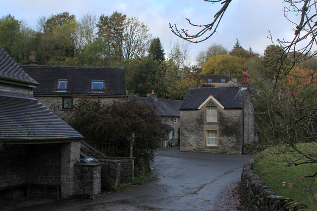
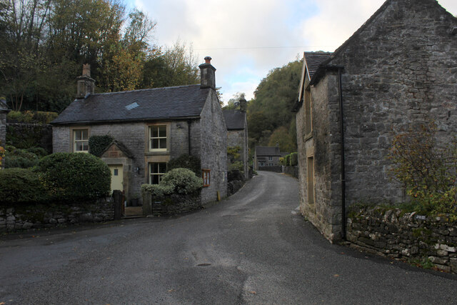
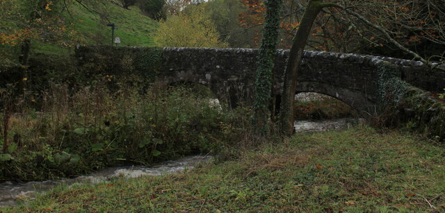
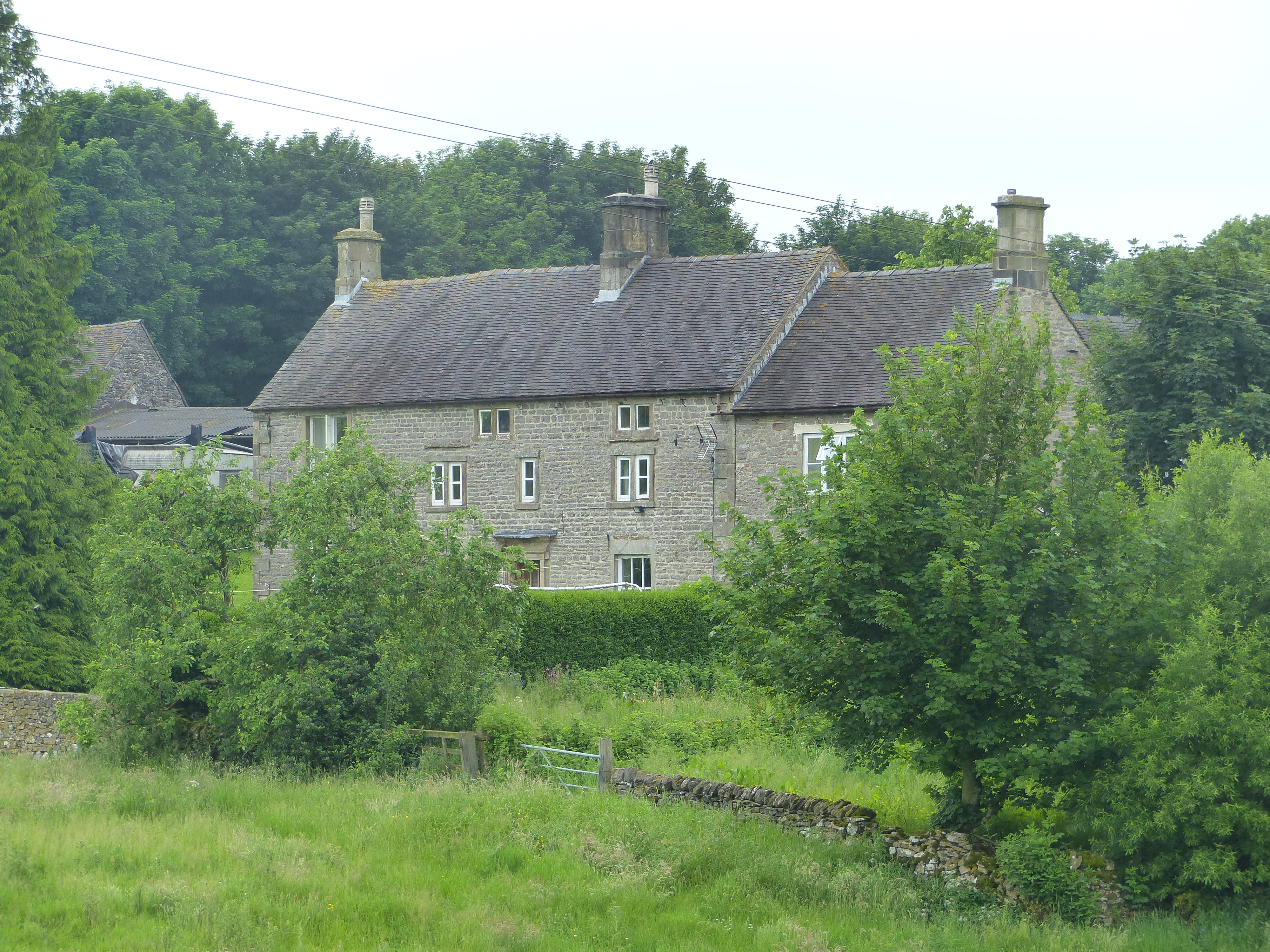
Baley Hill Images

Images are sourced within 2km of 53.083189/-1.7853534 or Grid Reference SK1454. Thanks to Geograph Open Source API. All images are credited.

The start of a footpath to Alstonefield A narrow flight of steps leads off a narrow back lane at the start of a footpath, which climbs steeply out of Milldale towards Alstonefield.
The start of a footpath to Alstonefield
A narrow flight of steps leads off a narrow back lane at the start of a footpath, which climbs steeply out of Milldale towards Alstonefield.
Old dew pond by Millway Lane A neglected dew pond sits dry, neglected and overgrown at the edge of Alstonefield.
Old dew pond by Millway Lane
A neglected dew pond sits dry, neglected and overgrown at the edge of Alstonefield.
A ruin above Mill Dale The remains of some kind of small building, pen or fold, marked on old OS maps as a plain, unlabelled rectangle.
A ruin above Mill Dale
The remains of some kind of small building, pen or fold, marked on old OS maps as a plain, unlabelled rectangle.
Footpath crossroads According to the finger post, this is where the footpath from Milldale to Alsop Station crosses the footpath from Lode Mill to Tissington.
Footpath crossroads
According to the finger post, this is where the footpath from Milldale to Alsop Station crosses the footpath from Lode Mill to Tissington.
Stile in Hall Dale
Stile in Hall Dale
Step stile and sign at Allen's Bank in Hall Dale
Footpath to Pasture Lane The footpath from Hall Dale enters Stanshope via Pasture Lane.
Footpath to Pasture Lane
The footpath from Hall Dale enters Stanshope via Pasture Lane.
Looking towards Greenlowfield and the A515 As seen from the Tissington Trail, slightly to the north of the former Alsop station.
Looking towards Greenlowfield and the A515
As seen from the Tissington Trail, slightly to the north of the former Alsop station.
Countryside near Alsop en le Dale As seen from the Tissington Trail beside Stonepit Plantation
Countryside near Alsop en le Dale
As seen from the Tissington Trail beside Stonepit Plantation
Oxclose Lane Climbing out of the trench of Dovedale towards the A515
Oxclose Lane
Climbing out of the trench of Dovedale towards the A515
View from Above Shining Tor Overlooks the deep trench that is Dovedale
View from Above Shining Tor
Overlooks the deep trench that is Dovedale
Footpath High above Milldale The public footpath follows the wall, with ground falling away sharply to the left towards Milldale
Footpath High above Milldale
The public footpath follows the wall, with ground falling away sharply to the left towards Milldale
Looking over Mill Dale
Milldale (1) Small village comprising several stone buildings, squeezed deep in the narrow valley of Dovedale - so narrow that sunshine finds difficulty in reaching the community.
Milldale (1)
Small village comprising several stone buildings, squeezed deep in the narrow valley of Dovedale - so narrow that sunshine finds difficulty in reaching the community.
Milldale (2) Delightful small village squeezed tightly between the valley sides of Dovedale - so tightly, that sunshine is at a premium.
A popular walk stretches south from here, running beside the River Dove to the stepping stones near Thorpe.
Milldale (2)
Delightful small village squeezed tightly between the valley sides of Dovedale - so tightly, that sunshine is at a premium. A popular walk stretches south from here, running beside the River Dove to the stepping stones near Thorpe.
Viator's Bridge Ancient packhorse bridge, which has been in use since medieval times. Izaak Walton wrote about this bridge in "The Compleat Angler" - referring to himself as Viator (Latin for traveller), which accounts for the structure's name.
Viator's Bridge
Ancient packhorse bridge, which has been in use since medieval times. Izaak Walton wrote about this bridge in "The Compleat Angler" - referring to himself as Viator (Latin for traveller), which accounts for the structure's name.
Greenlowfield from the Tissington Trail Semi-detached cottages on the A515
Greenlowfield from the Tissington Trail
Semi-detached cottages on the A515
Alsop en le Dale from the Tissington Trail
Show me another place!

Baley Hill is located at Grid Ref: SK1454 (Lat: 53.083189, Lng: -1.7853534)

Administrative County: Derbyshire

District: Derbyshire Dales

Police Authority: Derbyshire

What 3 Words

///bagpipes.ramps.doctors. Near Newhaven, Derbyshire

Nearby Locations

Baley Hill Mill Dale

Related Wikis

Nearby Amenities

Located within 500m of 53.083189,-1.7853534
Barrier: stile
Foot: yes
Lat/Long: 53.0866949/-1.7890721
Barrier: stile
Foot: yes
Lat/Long: 53.0817249/-1.7848806
Barrier: stile
Foot: yes
Lat/Long: 53.086058/-1.7906837
Barrier: stile
Foot: yes
Lat/Long: 53.0819853/-1.7897221
Baley Hill
Natural: peak
Source: OS_OpenData_StreetView
Lat/Long: 53.0827092/-1.7852702
Ravens Tor
Natural: peak
Source: OS_OpenData_StreetView
Lat/Long: 53.0815714/-1.7916725
Barrier: cattle_grid
Bicycle: yes
Foot: yes
Lat/Long: 53.0842998/-1.7783027
Barrier: stile
Material: stone
Source: survey;gps
Stile: squeezer
Lat/Long: 53.0852937/-1.7807686
Barrier: stile
Check Date: 2021-08-11
Material: stone
Source: survey;gps
Stile: squeezer
Lat/Long: 53.0855931/-1.7796317
Barrier: stile
Material: stone
Source: survey;gps
Stile: squeezer
Lat/Long: 53.0866122/-1.7835351
Barrier: stile
Material: wood
Source: survey;gps
Stile: stepover
Lat/Long: 53.0790631/-1.7856608
Barrier: stile
Material: stone
Source: survey;gps
Stile: stepover
Lat/Long: 53.0816851/-1.7804213
Barrier: stile
Material: stone
Source: survey;gps
Stile: stepover
Lat/Long: 53.0825092/-1.7804235
Barrier: stile
Material: stone
Source: survey;gps
Stile: stepover
Lat/Long: 53.0865031/-1.7835948
Information: guidepost
Tourism: information
Lat/Long: 53.0810674/-1.7803632
The data included in this document is from www.openstreetmap.org. The data is made available under ODbL.

Have you been to Baley Hill?

Leave your review of Baley Hill below (or comments, questions and feedback).