Peas Hill
Hill, Mountain in Northumberland
England
Peas Hill

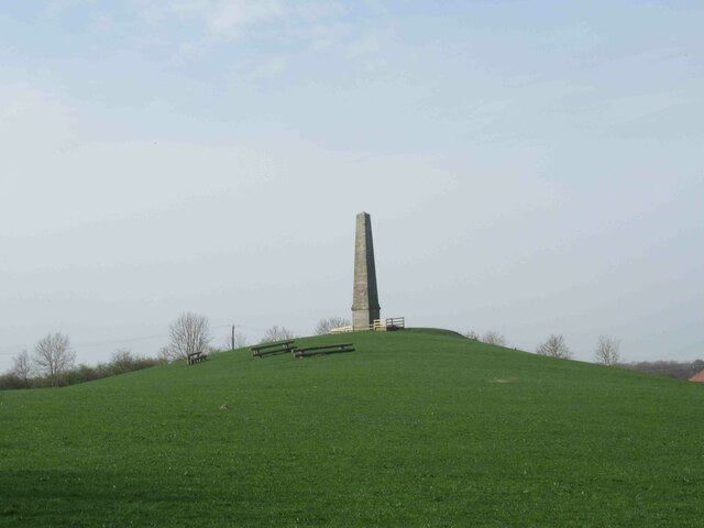
Peas Hill is a prominent hill located in the county of Northumberland, England. It is part of the North Pennines Area of Outstanding Natural Beauty, renowned for its stunning landscapes and picturesque views. With an elevation of approximately 376 meters (1,234 feet), Peas Hill is a relatively modest hill compared to the towering peaks found in other parts of the country.
Situated near the village of Blanchland, Peas Hill offers visitors a chance to immerse themselves in the tranquility of the Northumberland countryside. The hill is covered in lush greenery, with a mix of grasses, heather, and wildflowers dotting the landscape. This diverse vegetation provides a habitat for various wildlife species, including birds, rabbits, and small mammals.
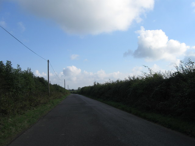
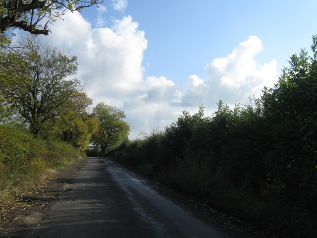
The summit of Peas Hill offers breathtaking panoramic views of the surrounding area. On a clear day, visitors can see for miles, taking in the rolling hills, meandering rivers, and charming villages that make this region so special. The hill is a popular spot for hikers and nature enthusiasts, who can explore the numerous walking trails that crisscross the area.
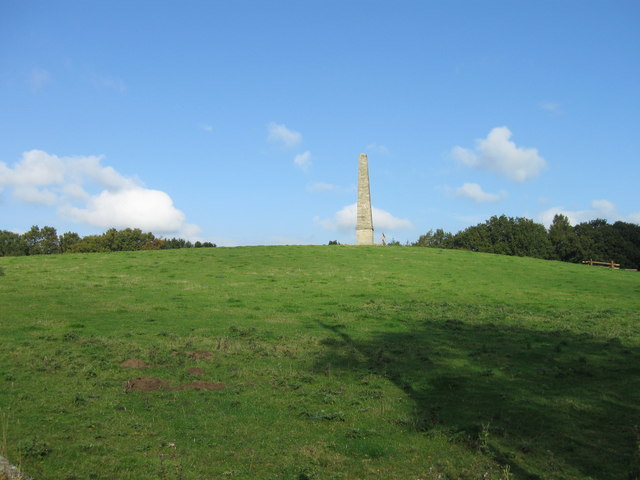
Peas Hill holds historical significance as well, with remnants of ancient settlements and burial mounds found in its vicinity. These archaeological sites serve as a reminder of the rich history and heritage of the Northumberland region.
Overall, Peas Hill provides a peaceful retreat for those seeking to escape the hustle and bustle of city life. Its natural beauty, combined with its historical importance, makes it a must-visit destination for anyone exploring Northumberland.
If you have any feedback on the listing, please let us know in the comments section below.
Peas Hill Images
Images are sourced within 2km of 55.083906/-1.7745517 or Grid Reference NZ1476. Thanks to Geograph Open Source API. All images are credited.


Peas Hill is located at Grid Ref: NZ1476 (Lat: 55.083906, Lng: -1.7745517)
Unitary Authority: Northumberland
Police Authority: Northumbria
What 3 Words
///stardom.guidebook.rejoin. Near Ponteland, Northumberland
Nearby Locations
Related Wikis

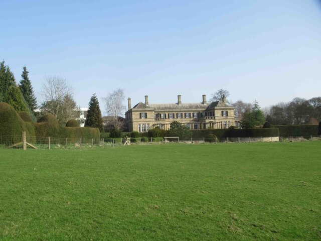
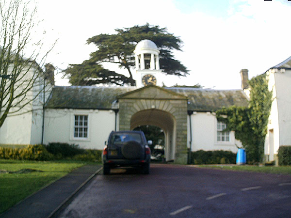
Kirkley Hall
Kirkley Hall is a 17th-century historic country mansion and Grade II listed building in Northumberland, England. The estate is over 190 acres (0.77 km2...
Ogle, Northumberland
Ogle is a village in and former civil parish, now in the parish of Whalton, Northumberland, England, north-west of Ponteland and south-west of Morpeth...

Ogle Castle
Ogle Castle (grid reference NZ14057908) is a former fortified manor house at Ogle, near Whalton, Northumberland. It is a Scheduled Ancient Monument and...

Berwick Hill
Berwick Hill is a village and former civil parish, now in the parish of Ponteland, in the county of Northumberland, England. It is situated to the north...
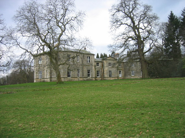
Milbourne Hall
Milbourne Hall is a privately owned mansion house at Milbourne, near Ponteland, Northumberland, England, which has Grade I listed building status.The Bates...

Castle Ward Rural District
Castle Ward was a rural district of the administrative county of Northumberland, England from 1894 to 1974, covering an area north-west of the city of...
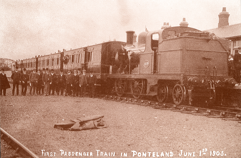
Ponteland railway station
Ponteland was a railway station on the Ponteland Railway, which ran between South Gosforth and Ponteland, with a sub-branch line to Darras Hall. It served...

Ponteland Castle
Ponteland Castle is a 13th-century stone tower house just off the A696 road in Ponteland, 8 miles north-west of Newcastle upon Tyne, in Northumberland...
Nearby Amenities
Located within 500m of 55.083906,-1.7745517Have you been to Peas Hill?
Leave your review of Peas Hill below (or comments, questions and feedback).