Bail Hill
Hill, Mountain in Durham
England
Bail Hill

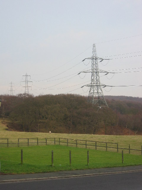
Bail Hill is a prominent hill located in Durham, England. Situated in the northern part of the county, Bail Hill is part of the larger Pennines mountain range. With an elevation of approximately 340 meters (1,115 feet), it offers stunning views of the surrounding landscape and is a popular destination for hikers and nature enthusiasts.
The hill is known for its distinctive shape, featuring a rounded summit that is covered in grass and heather. It is composed mainly of Carboniferous limestone, which gives it a unique geological character. The hill is also home to a variety of flora and fauna, including wildflowers, birds, and small mammals.
Bail Hill has a rich history dating back centuries. It is believed that the hill was used as a settlement during the Iron Age, with archaeological evidence suggesting the presence of ancient fortifications. In more recent times, the hill has been used for agricultural purposes, including grazing livestock.
Visitors to Bail Hill can enjoy a range of outdoor activities. Several footpaths and trails crisscross the hill, providing opportunities for walking, hiking, and mountain biking. The panoramic views from the summit are particularly breathtaking, offering stunning vistas of the surrounding countryside.
Overall, Bail Hill is a picturesque and historically significant hill in Durham. Its natural beauty and accessibility make it a popular destination for both locals and tourists looking to explore the region's stunning landscapes.
If you have any feedback on the listing, please let us know in the comments section below.
Bail Hill Images
Images are sourced within 2km of 54.931808/-1.7965324 or Grid Reference NZ1359. Thanks to Geograph Open Source API. All images are credited.


Bail Hill is located at Grid Ref: NZ1359 (Lat: 54.931808, Lng: -1.7965324)
Unitary Authority: Gateshead
Police Authority: Northumbria
What 3 Words
///hours.speedily.aunts. Near Chopwell, Tyne & Wear
Nearby Locations
Related Wikis

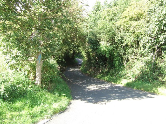
High Spen
High Spen is an old mining village in the Metropolitan Borough of Gateshead, historically part of County Durham. There is an entrance to Chopwell Wood...
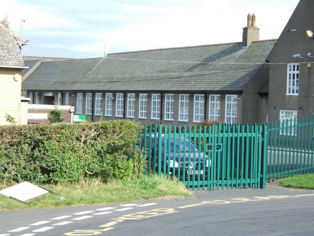
Hookergate School
Hookergate School was a secondary school and sixth form located in High Spen in the Metropolitan Borough of Gateshead, England. Originally founded as Hookergate...

Chopwell
Chopwell is a village in the Gateshead district, in the county of Tyne and Wear, England, 3 miles (4.8 km) west of Rowlands Gill and 1 mile (1.6 km) north...
Leadgate, Northumberland
Leadgate is a hamlet just outside Chopwell in southern Northumberland, England. It is 4.5 miles (7.3 km) southeast of Stocksfield and 1 mile (1.8 km) northwest...
Chopwell Colliery
Chopwell Colliery was a coal mine situated at Chopwell, in Gateshead, Tyne and Wear. The pit was first sunk in 1781, and was closed on 25 November 1966...

Currock Hill
Currock Hill is a hill in Tyne and Wear, England, which at 259 m (850 ft) is the highest point in the county, and in the metropolitan borough of Gateshead...
Greenside, Tyne and Wear
Greenside is a village in the extreme west of the Metropolitan County of Tyne and Wear, England. Once an independent village in County Durham, it became...
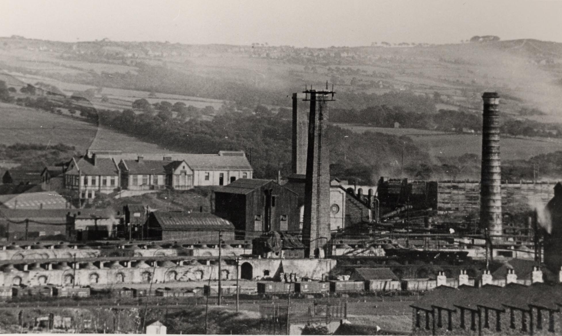
Whinfield coke works
Whinfield coke works was a large industrial complex located near Rowlands Gill in Tyne and Wear, North East England. The complex comprised a coking plant...
Nearby Amenities
Located within 500m of 54.931808,-1.7965324Have you been to Bail Hill?
Leave your review of Bail Hill below (or comments, questions and feedback).