Rabbit Hill

Hill, Mountain in Durham

England

Rabbit Hill

Hamsterley; pond and village hall. The white building at the left side of the image is Hamsterley Village Hall; the pond is small and rather overgrown.
Hamsterley; pond and village hall. Credit: Trevor Littlewood

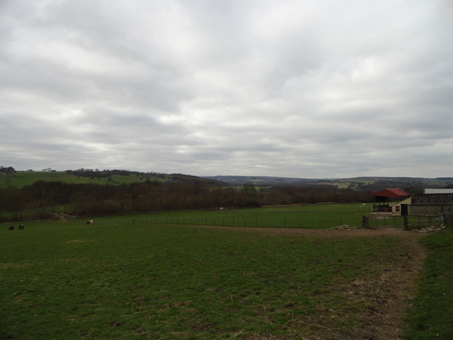
Rabbit Hill is a small hill located in Durham, a historic city in the county of Durham, England. Situated on the outskirts of the city, Rabbit Hill is a part of the larger North Pennines Area of Outstanding Natural Beauty. Standing at an elevation of approximately 200 meters above sea level, it offers stunning panoramic views of the surrounding countryside.

The hill gets its name from the abundance of rabbits that inhabit the area. These furry creatures can often be seen hopping around the hillside, creating a picturesque sight for visitors. The local ecosystem is rich and diverse, with a variety of plant and animal species calling Rabbit Hill their home.

Rabbit Hill is a popular destination for outdoor enthusiasts and nature lovers. The hill features several well-marked walking trails that cater to all fitness levels, making it a perfect spot for a leisurely stroll or a more challenging hike. The paths wind through lush green meadows, dense woodlands, and open fields, providing a glimpse into the natural beauty of the region.

The hill is also a favored spot for wildlife enthusiasts and bird watchers. The surrounding area is home to a wide array of avian species, including buzzards, kestrels, and skylarks, making it an ideal location for bird spotting. Additionally, the hill offers a peaceful retreat for those seeking tranquility and a break from the hustle and bustle of city life.

Overall, Rabbit Hill in Durham is a charming natural landmark, offering breathtaking views, diverse wildlife, and a serene atmosphere. Its accessibility and natural beauty make it an excellent destination for both locals and tourists alike.

If you have any feedback on the listing, please let us know in the comments section below.
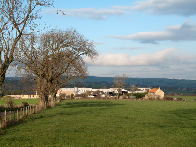
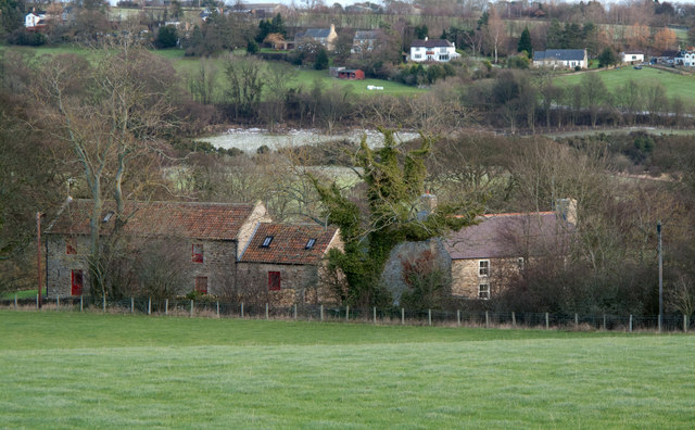
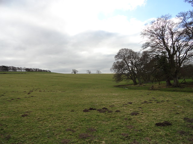
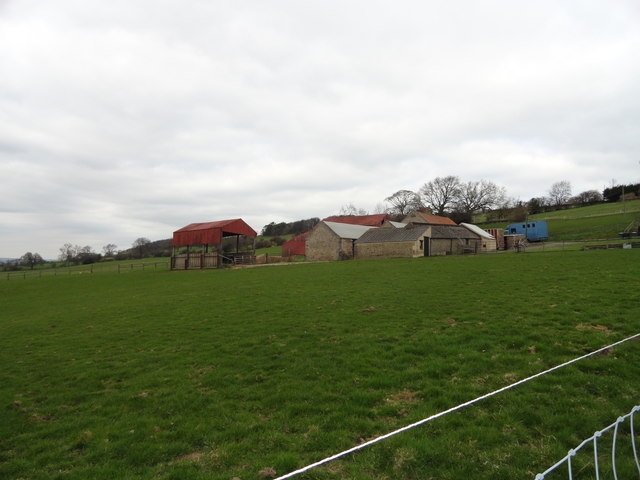
Rabbit Hill Images

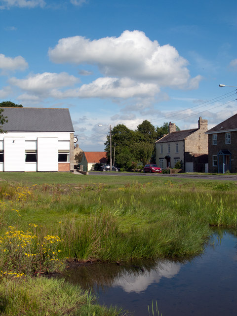
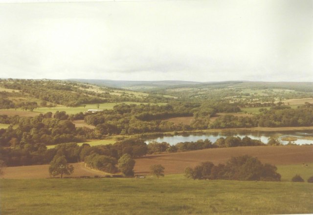
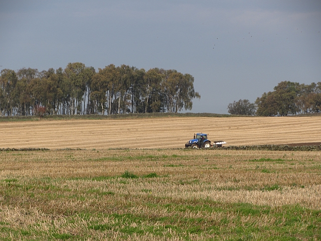
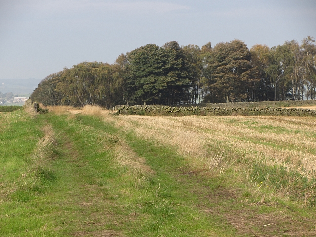
Images are sourced within 2km of 54.68036/-1.797511 or Grid Reference NZ1331. Thanks to Geograph Open Source API. All images are credited.

Hamsterley; pond and village hall. The white building at the left side of the image is Hamsterley Village Hall; the pond is small and rather overgrown.
Hamsterley; pond and village hall.
The white building at the left side of the image is Hamsterley Village Hall; the pond is small and rather overgrown.
Pasture next to the A68, looking towards McNeil Farm
McNeil Bottoms in 1984 With the stunning countryside beyond.
McNeil Bottoms in 1984
With the stunning countryside beyond.
Ploughing, Weardale Ploughing in stubble before Sandy Bank Wood.
Ploughing, Weardale
Ploughing in stubble before Sandy Bank Wood.
Sandy Bank Wood A farm track runs towards Sandy Bank Wood. A tractor was ploughing nearby.
Sandy Bank Wood
A farm track runs towards Sandy Bank Wood. A tractor was ploughing nearby.
Field and Gibbet Hills from Douglas Lane The farm at Gibbet Hills lies south-west of the small County Durham Town of Crook. The view is northwards from a minor road known as Douglas Lane and very close to the position of a now lost trig point known to the OS as 'Diggins'; it had flush bracket number S4212.
Field and Gibbet Hills from Douglas Lane
The farm at Gibbet Hills lies south-west of the small County Durham Town of Crook. The view is northwards from a minor road known as Douglas Lane and very close to the position of a now lost trig point known to the OS as 'Diggins'; it had flush bracket number S4212.
Lane House There appears to be two dwellings at the location of Lane House. The River Wear flows unseen beyond the houses and the distant buildings are in the village of Witton-le-Wear.
Lane House
There appears to be two dwellings at the location of Lane House. The River Wear flows unseen beyond the houses and the distant buildings are in the village of Witton-le-Wear.
Mc Neil and Mc Neil Bottoms Mc Neil is the farm in the image. Mc Neil Bottoms is the area of water which is close to the River Wear; the river can just be seen. The pools were created by the flooding of old gravel pits and are part of a conservation project overseen by Durham Bird Club.
Mc Neil and Mc Neil Bottoms
Mc Neil is the farm in the image. Mc Neil Bottoms is the area of water which is close to the River Wear; the river can just be seen. The pools were created by the flooding of old gravel pits and are part of a conservation project overseen by Durham Bird Club.
Wadley Beck The Weardale Way runs alongside this little stream South of Wadley farm.
Wadley Beck
The Weardale Way runs alongside this little stream South of Wadley farm.
High Garth Farm Viewed from the path leading up from the railway.
High Garth Farm
Viewed from the path leading up from the railway.
View along Weardale View NW along the dale from the path beside High Garth Farm at Witton-le-Wear.
View along Weardale
View NW along the dale from the path beside High Garth Farm at Witton-le-Wear.
Looking South down the A68 View from the turnoff for Witton-le-Wear.
Looking South down the A68
View from the turnoff for Witton-le-Wear.
The Dun Cow Pub in Witton-le-Wear.
The Dun Cow
Pub in Witton-le-Wear.
Level crossing for footpath over the Weardale Railway
Arch in Weardale Railway giving access to pasture on northern side
A68 underbridge to give access for farming with public footpath status
Low Garth Farm at Witton-le-Wear
The north side of Clemmy Bank Railway Bridge in Witton-le-Wear
Show me another place!

Rabbit Hill is located at Grid Ref: NZ1331 (Lat: 54.68036, Lng: -1.797511)

Unitary Authority: County Durham

Police Authority: Durham

What 3 Words

///endearing.digit.extremes. Near Hamsterley, Co. Durham

Related Wikis

Bedburn Beck

Bedburn Beck is a 16.8 kilometres (10.4 mi) long, upper tributary of the River Wear in County Durham, England. The beck and its tributaries, including...

Hamsterley, Bishop Auckland

Hamsterley is a village in County Durham, England. It is situated a few miles west of Bishop Auckland. The village lies on a rise above the upper reaches...

Witton-le-Wear

Witton-le-Wear is a village in County Durham, North East England. It is situated on the north bank of the River Wear, 6 km (3.7 mi) to the north-west of...

Witton-le-Wear railway station

Witton-le-Wear railway station is a railway station on the Weardale heritage railway serves the village of Witton-le-Wear in County Durham, North East...

Nearby Amenities

Located within 500m of 54.68036,-1.797511
Barrier: cattle_grid
Lat/Long: 54.6822966/-1.7994461
Edge Knoll Farm Self Catering Cottages
Addr City: Bishop Auckland
Addr Housename: Edge Knoll Farm
Addr Postcode: DL13 3PF
Addr Suburb: Hamsterley
Internet Access: wlan
Internet Access Fee: no
Tourism: chalet
Lat/Long: 54.6806507/-1.795478
Power: pole
Lat/Long: 54.681398/-1.7975454
Power: pole
Lat/Long: 54.6823308/-1.7969325
Power: pole
Lat/Long: 54.683258/-1.7963196
Power: pole
Lat/Long: 54.6841224/-1.7957577
The data included in this document is from www.openstreetmap.org. The data is made available under ODbL.

Have you been to Rabbit Hill?

Leave your review of Rabbit Hill below (or comments, questions and feedback).